Cowie Hill

Hill, Mountain in Kincardineshire

Scotland

Cowie Hill

Glen of Dumtochty Woodland in this mostly forested glen.
Glen of Dumtochty Credit: Richard Webb

Cowie Hill is a prominent geographic feature located in Kincardineshire, Scotland. It is classified as a hill, or sometimes referred to as a mountain, due to its elevation and distinctive topography. Rising to a height of approximately 345 meters (1,132 feet), Cowie Hill offers stunning panoramic views of the surrounding countryside.

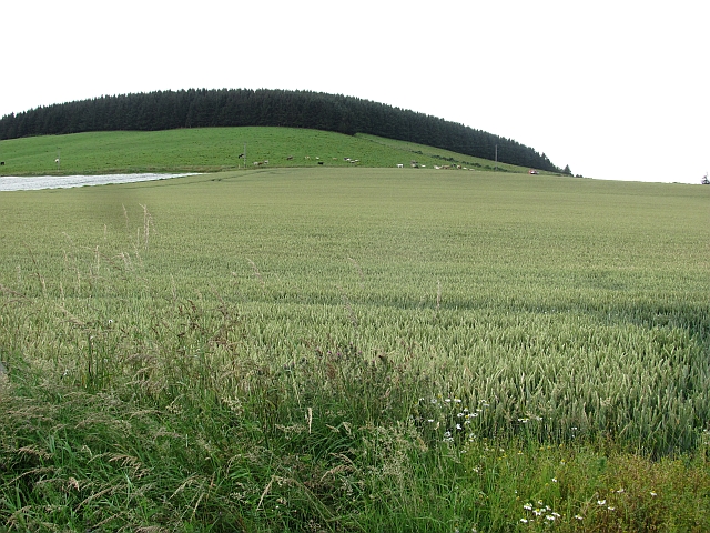
Situated near the town of Stonehaven, Cowie Hill is part of the larger Cowie Hill Range, which includes several other peaks and valleys. The hill is composed mainly of granite, which gives it a rugged and picturesque appearance. Its slopes are covered in a mixture of heather, grasses, and scattered trees, adding to its natural beauty.

Cowie Hill is a popular destination for outdoor enthusiasts and hikers, providing a range of trails and pathways to explore. The most popular route to the summit starts from the village of Cowie, which lies at the base of the hill. The ascent offers a moderate challenge, with some steeper sections, but the reward at the top is well worth the effort.

At the summit, visitors are greeted with breathtaking views of the surrounding landscapes, including the North Sea coastline, the Grampian Mountains, and the picturesque countryside of Kincardineshire. On a clear day, it is even possible to see as far as the city of Aberdeen, located approximately 15 kilometers (9 miles) to the north.

Cowie Hill is not only a natural landmark but also boasts historical significance. It is believed to have been used as a lookout point during ancient times and may have even served as a defensive position during conflicts in the area.

In summary, Cowie Hill is a striking natural feature in Kincardineshire, offering both recreational opportunities and captivating views of the Scottish countryside.

If you have any feedback on the listing, please let us know in the comments section below.
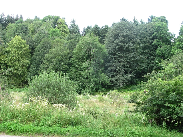
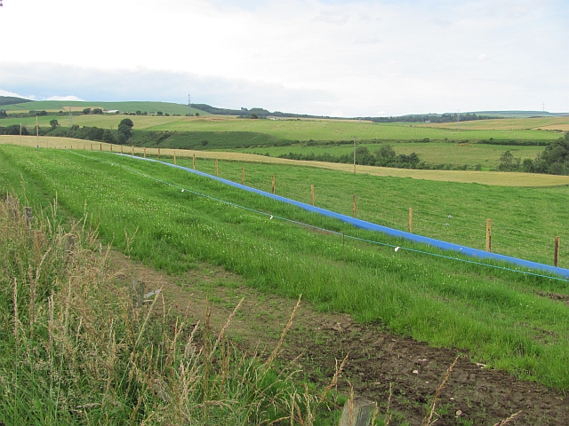
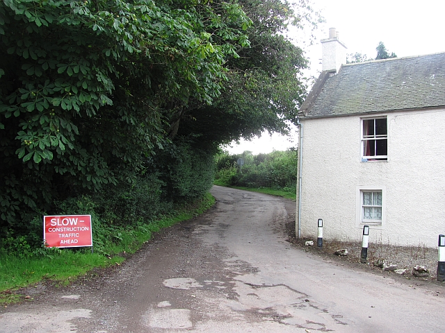
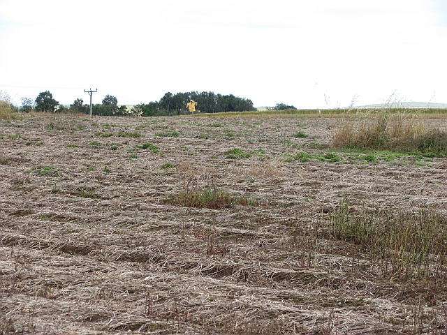
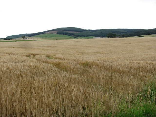
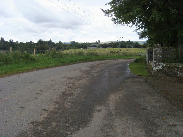
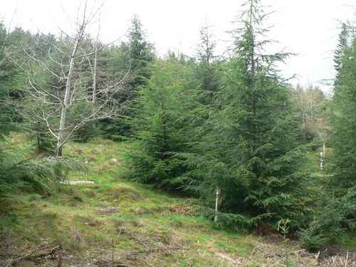
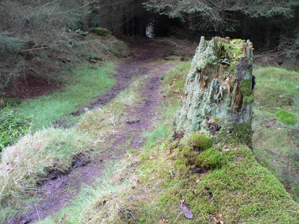
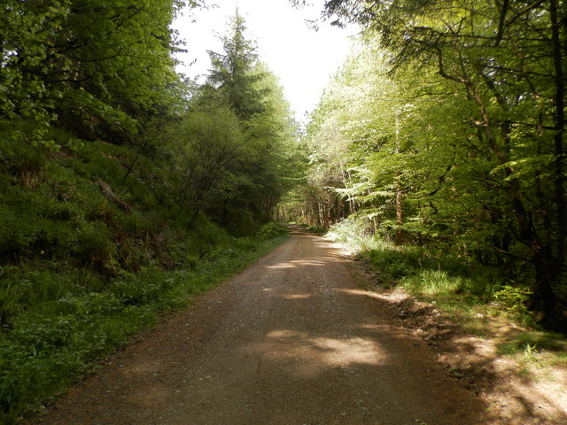
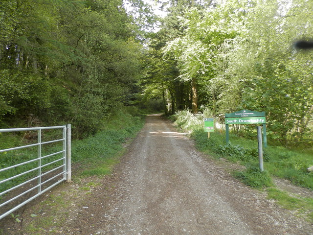
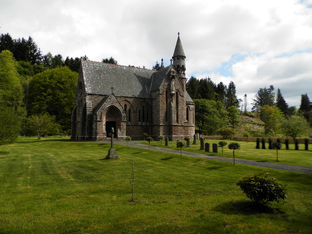
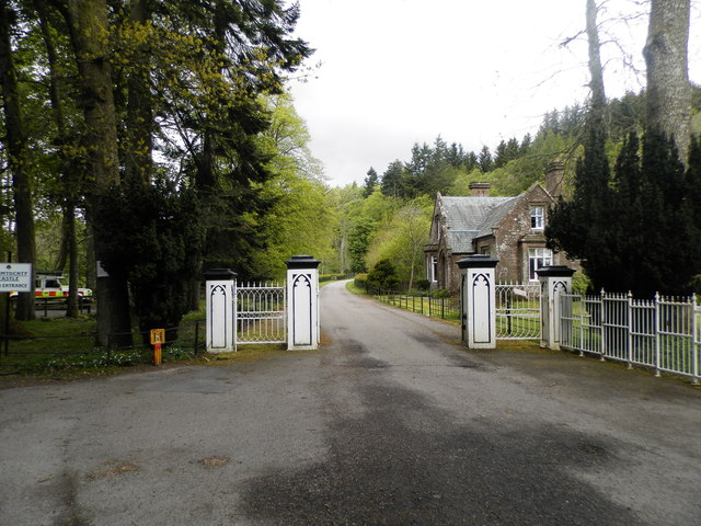
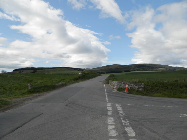
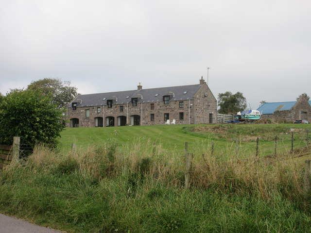
Cowie Hill Images

Images are sourced within 2km of 56.900455/-2.4625703 or Grid Reference NO7178. Thanks to Geograph Open Source API. All images are credited.

Glen of Dumtochty Woodland in this mostly forested glen.
Glen of Dumtochty
Woodland in this mostly forested glen.
Field by Auchenblae A new pipeline is being laid beside the road here.
Field by Auchenblae
A new pipeline is being laid beside the road here.
Road into Auchenblae Warning of pipeline construction traffic.
Road into Auchenblae
Warning of pipeline construction traffic.
Wheat field by Auchenblae Nearby they are ploughing this year's stubble but this field has yet to turn from green.
Wheat field by Auchenblae
Nearby they are ploughing this year's stubble but this field has yet to turn from green.
Field by Auchenblae Field with a scarecrow.
Field by Auchenblae
Field with a scarecrow.
Barley, Strathfinella Hill Barley fields on the lower slopes of Strathfinella Hills. Much of Kincardineshire is covered in quality arable land.
Barley, Strathfinella Hill
Barley fields on the lower slopes of Strathfinella Hills. Much of Kincardineshire is covered in quality arable land.
Looking to Auchenblae church From the cemetery looking to Auchenblae church
Looking to Auchenblae church
From the cemetery looking to Auchenblae church
Ready for uplift There has been a lot of tree felling in Garrold Wood recently.  Trees have been brashed & stacked at the side of the forestry tracks ready for uplift.
Ready for uplift
There has been a lot of tree felling in Garrold Wood recently. Trees have been brashed & stacked at the side of the forestry tracks ready for uplift.
Lost in the pines A lonely birch tree in a forest of pines.
Lost in the pines
A lonely birch tree in a forest of pines.
Two for the price of 1 A hardwood tree that appears to be growing out of the trunk of a pine tree in Garrold Wood
Two for the price of 1
A hardwood tree that appears to be growing out of the trunk of a pine tree in Garrold Wood
Road Block This forestry road does not appear to be on the map, it comes to an abrupt end in a large turning circle about 100m beyond this fallen tree.  Time to turn round and try another route to the summit.
Road Block
This forestry road does not appear to be on the map, it comes to an abrupt end in a large turning circle about 100m beyond this fallen tree. Time to turn round and try another route to the summit.
A weathered stump A moss covered tree stump left to rot & provide a home for insects at the side of the track back to the road in Drumtochty Glen.
A weathered stump
A moss covered tree stump left to rot & provide a home for insects at the side of the track back to the road in Drumtochty Glen.
Forest road in Glen of Drumtochty
Entrance to South Drumtochty Forest
St Palladius Church, Drumtochty
Castle gates at Drumtochty
Burnmouth Brig over Burnie Shag
Glenfarquhar House Converted steadings at Glenfarquhar, viewed from the road to the south.
Glenfarquhar House
Converted steadings at Glenfarquhar, viewed from the road to the south.
Show me another place!

Cowie Hill is located at Grid Ref: NO7178 (Lat: 56.900455, Lng: -2.4625703)

Unitary Authority: Aberdeenshire

Police Authority: North East

What 3 Words

///search.appoints.calculating. Near Laurencekirk, Aberdeenshire

Related Wikis

Auchinblae distillery

Auchenblae distillery was a scotch whisky distillery in Auchenblae, Kincardine, Aberdeenshire, Scotland. == History == The distillery was created in 1895...

Fordoun Stone

The Fordoun Stone is a class II Pictish cross slab in Fordoun parish church, Auchenblae, Aberdeenshire, Scotland. == Description == A slab of Old Red Sandstone...

Auchenblae

Auchenblae (, Scottish Gaelic: Achadh nam Blàth) is a village in the Kincardine and Mearns area of Aberdeenshire, formerly in Kincardineshire, Scotland...

Drumtochty Castle

Drumtochty Castle is a neo-gothic style castellated mansion erected in 1812 approximately three kilometres north-west of Auchenblae, Kincardineshire, Scotland...

Nearby Amenities

Located within 500m of 56.900455,-2.4625703
Power: pole
Lat/Long: 56.8993247/-2.4554675
Power: pole
Lat/Long: 56.8997245/-2.455738
Power: pole
Lat/Long: 56.9004185/-2.456226
Power: pole
Lat/Long: 56.9011888/-2.4567517
Power: pole
Lat/Long: 56.9015365/-2.4574149
Power: pole
Lat/Long: 56.9019131/-2.458098
Power: pole
Lat/Long: 56.9023262/-2.4587856
Power: pole
Lat/Long: 56.9027458/-2.4594687
Power: pole
Lat/Long: 56.9031818/-2.4601896
Power: pole
Lat/Long: 56.9037317/-2.4611034
Power: pole
Lat/Long: 56.9043336/-2.4620926
Power: pole
Lat/Long: 56.904789/-2.4628379
Power: pole
Lat/Long: 56.9040115/-2.4575901
Power: pole
Lat/Long: 56.9037438/-2.4584906
Power: pole
Lat/Long: 56.903464/-2.4593401
Power: pole
Lat/Long: 56.9028669/-2.4608993
Power: pole
Lat/Long: 56.902546/-2.4616024
Power: pole
Lat/Long: 56.9021039/-2.4625806
Power: pole
Lat/Long: 56.9016691/-2.4635254
Power: pole
Lat/Long: 56.9012549/-2.4644814
Power: pole
Lat/Long: 56.9015092/-2.4652688
Power: pole
Lat/Long: 56.9018169/-2.4661471
Power: pole
Lat/Long: 56.9021439/-2.4670609
Power: pole
Lat/Long: 56.9025157/-2.4680945
Power: pole
Lat/Long: 56.9029057/-2.4691946
Power: pole
Lat/Long: 56.9005851/-2.4640001
Power: pole
Lat/Long: 56.8999613/-2.463541
The data included in this document is from www.openstreetmap.org. The data is made available under ODbL.

Have you been to Cowie Hill?

Leave your review of Cowie Hill below (or comments, questions and feedback).