Cairn End

Hill, Mountain in Northumberland

England

Cairn End

Ruined Cottage below High Ramshaw
Ruined Cottage below High Ramshaw Credit: Les Hull

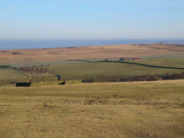
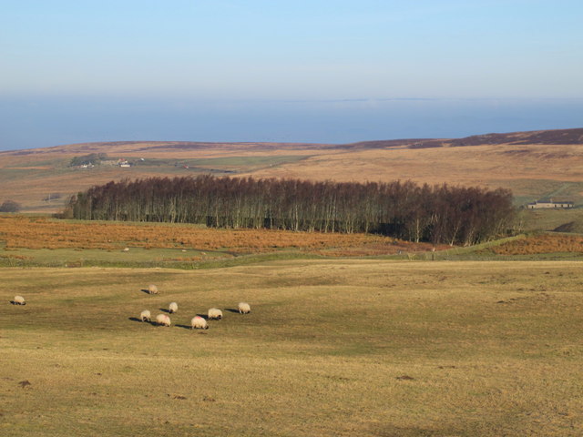
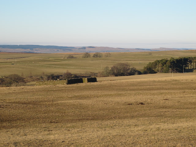
Cairn End is a prominent hill located in the county of Northumberland, England. Situated within the North Pennines Area of Outstanding Natural Beauty, this hill offers stunning views and a peaceful environment for visitors to enjoy.

With an elevation of approximately 450 meters (1476 feet), Cairn End stands as an impressive landmark in the region. Its distinctive shape and rocky terrain make it easily recognizable from a distance. The hill is composed mainly of sedimentary rocks, adding to its rugged and picturesque appearance.

Cairn End is a popular destination for hikers and walkers, attracting outdoor enthusiasts of all levels. Numerous footpaths and trails traverse the hill, allowing visitors to explore its natural beauty and discover hidden gems along the way. The climb to the summit is moderately challenging, rewarding those who reach the top with breathtaking panoramic views of the surrounding Northumberland countryside.

Flora and fauna thrive on Cairn End, with a variety of plant species and wildlife inhabiting its slopes. The hill is home to a diverse range of birds, including red grouse, skylarks, and ravens. Wildflowers such as heather, bilberry, and cowberry add vibrant colors to the landscape during the summer months.

Cairn End offers a tranquil escape from the hustle and bustle of everyday life. Its untouched natural beauty and serene atmosphere make it an ideal spot for nature lovers, photographers, and those seeking a peaceful retreat in the heart of Northumberland.

If you have any feedback on the listing, please let us know in the comments section below.
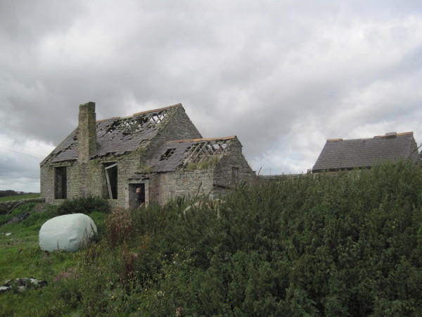
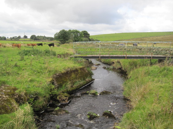
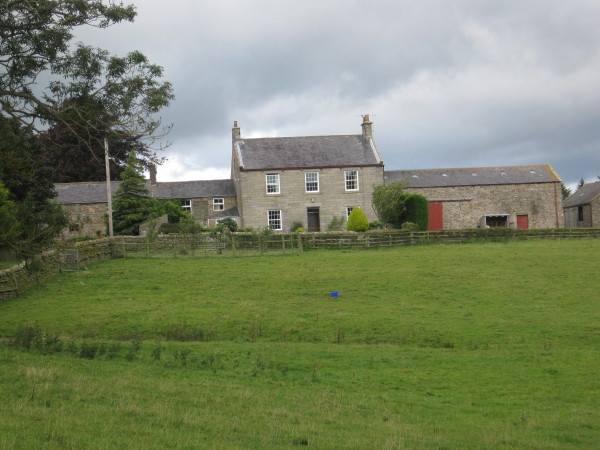
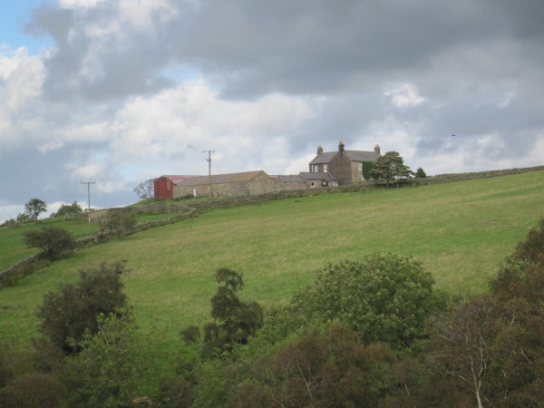
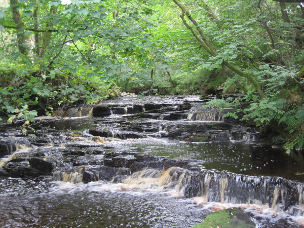
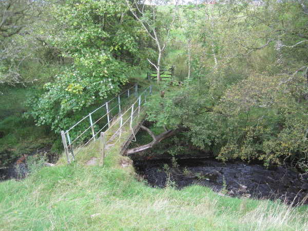
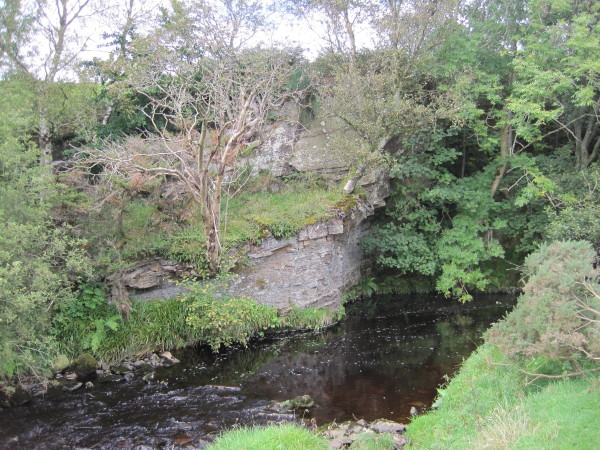
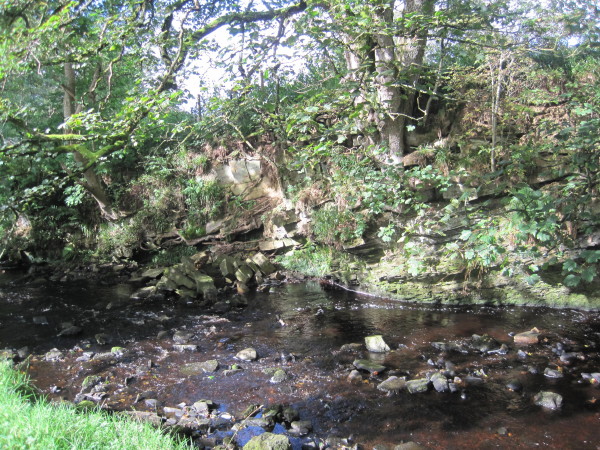
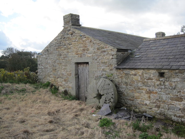
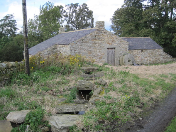
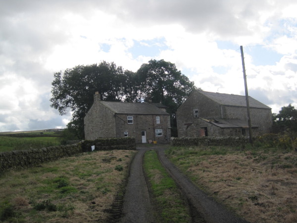
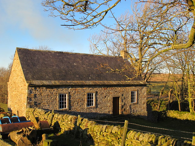
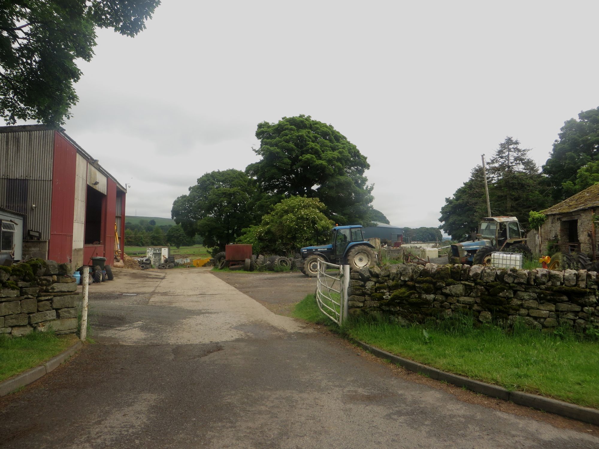
Cairn End Images

Images are sourced within 2km of 54.939842/-2.4405626 or Grid Reference NY7160. Thanks to Geograph Open Source API. All images are credited.

Ruined Cottage below High Ramshaw
Footbridge over Fell Burn
Hargill House
Hargill House
Low Ramshaw
Low Ramshaw
Waterfall, Park Burn
Footbridge over Park Burn
Cliff and Park Burn
Cliff and Park Burn
Cliff and Park Burn
Cliff and Park Burn
Derelict Mill and Mill Stones, Low Mill
Derelict Mill and Mill Race, Low Mill
Cottages, Low Mill
Cottages, Low Mill
Sheepfold west of Wolf Hills The farm buildings partly hidden below the second horizon (half right) are those at <a href="https://www.geograph.org.uk/photo/452130">NY7259 : High Todhillwood Farm</a>. The small building on the far horizon (right) is <a href="https://www.geograph.org.uk/photo/422412">NY7260 : The Beacon</a>.
Sheepfold west of Wolf Hills
The farm buildings partly hidden below the second horizon (half right) are those at NY7259 : High Todhillwood Farm. The small building on the far horizon (right) is NY7260 : The Beacon.
Rough pastures between Wolf Hills and Coldshield
Coanwood Friends' Meeting House (3) The colours in the winter's late afternoon light are so different from those in the early afternoon in high summer (2010) shown in <a href="https://www.geograph.org.uk/photo/1958882">NY7058 : Coanwood Friends' Meeting House (2)</a>.
Coanwood Friends' Meeting House (3)
The colours in the winter's late afternoon light are so different from those in the early afternoon in high summer (2010) shown in NY7058 : Coanwood Friends' Meeting House (2).
Early 19th C gravestone at Coanwood Friends' Meeting House See <a href="https://www.geograph.org.uk/photo/3387280">NY7058 : Coanwood Friends' Meeting House (3)</a>.
Early 19th C gravestone at Coanwood Friends' Meeting House
Sheepfold west of Wolf Hills (2) The view is from slightly further west than that in <a href="https://www.geograph.org.uk/photo/3340920">NY7258 : Sheepfold west of Wolf Hills</a>, looking NNE. The building in the middle distance directly in line with the sheepfold (the roof is just visible near a small clump of trees) is Limestones on the farm track to <a href="https://www.geograph.org.uk/photo/3340920">NY7258 : Sheepfold west of Wolf Hills</a>. On the same line of sight, the buildings in the far distance, below a small plantation, are those at <a href="https://www.geograph.org.uk/photo/750602">NY7768 : Hotbank Farm</a> on Hadrian's Wall, some seven miles away. On the horizon (right) are <a href="https://www.geograph.org.uk/photo/503226">NY7969 : Sewingshield Crags</a>.
Sheepfold west of Wolf Hills (2)
The view is from slightly further west than that in NY7258 : Sheepfold west of Wolf Hills, looking NNE. The building in the middle distance directly in line with the sheepfold (the roof is just visible near a small clump of trees) is Limestones on the farm track to NY7258 : Sheepfold west of Wolf Hills. On the same line of sight, the buildings in the far distance, below a small plantation, are those at NY7768 : Hotbank Farm on Hadrian's Wall, some seven miles away. On the horizon (right) are NY7969 : Sewingshield Crags.
Pond on Limestones Fell
Show me another place!

Cairn End is located at Grid Ref: NY7160 (Lat: 54.939842, Lng: -2.4405626)

Unitary Authority: Northumberland

Police Authority: Northumbria

What 3 Words

///these.choppers.detonated. Near Haltwhistle, Northumberland

Nearby Locations

Cairn End

Related Wikis

Unthank, Haltwhistle

Unthank is a village near Haltwhistle in Northumberland, England. It is first mentioned in writing as Unthanc around 1200. == Governance == Unthank is...

Coanwood Friends Meeting House

Coanwood Friends Meeting House is a redundant Quaker meeting house under the care of the Historic Chapels Trust. It stands in an isolated, sparsely populated...

Unthank Hall

Unthank Hall is a Grade II listed property now serving as commercial offices, situated on the southern bank of the River South Tyne east of Plenmeller...

Plenmeller

Plenmeller is a village and former civil parish, now in the parish of Plenmeller with Whitfield, in Northumberland, England about a mile (1½ km) southeast...

Have you been to Cairn End?

Leave your review of Cairn End below (or comments, questions and feedback).