Buck Hill
Hill, Mountain in Yorkshire Ribble Valley
England
Buck Hill
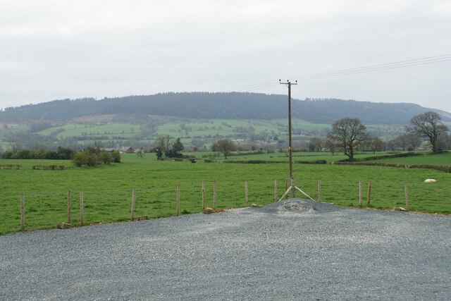
Buck Hill is a prominent hill located in the county of Yorkshire, England. Situated in the beautiful Yorkshire Dales National Park, it offers stunning panoramic views of the surrounding countryside. Rising to a height of approximately 500 meters (1,640 feet), it is a popular destination for hikers, nature enthusiasts, and outdoor adventurers.
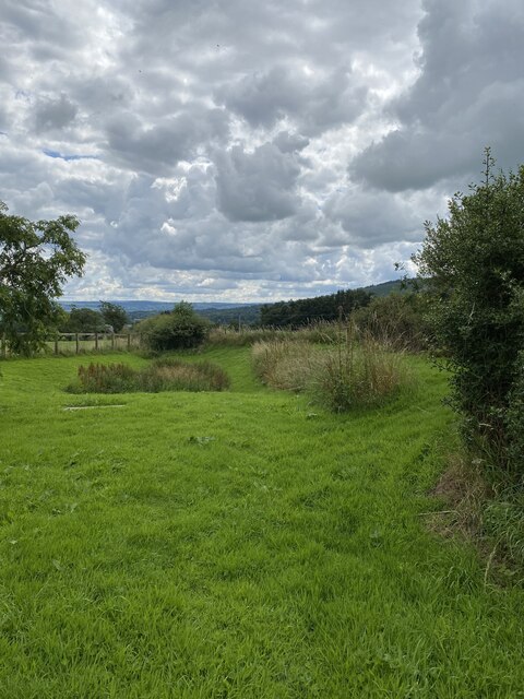
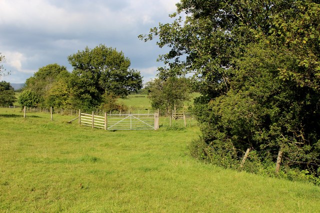
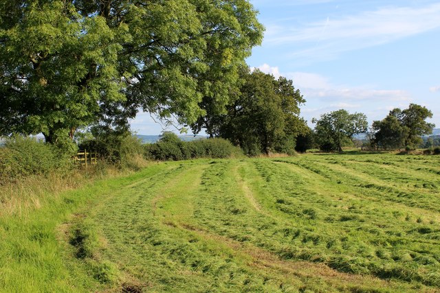
Buck Hill is part of a range of hills known as the Pennines, which stretches across Northern England. It is characterized by its rolling green slopes, scattered with sheep farms and dry stone walls, typical of the rural landscape in this region. The hill is also home to a variety of flora and fauna, including heather, wildflowers, and various bird species.
The ascent to the summit of Buck Hill can be challenging but rewarding, as it offers breathtaking vistas of the Yorkshire Dales. On a clear day, one can see the patchwork quilt of fields, meandering rivers, and quaint villages that dot the landscape. The summit itself is relatively flat, providing a perfect spot for picnics or simply taking in the awe-inspiring scenery.
Given its natural beauty and accessibility, Buck Hill attracts visitors year-round. During the summer months, it is a popular spot for families and keen walkers, while in winter, the hill transforms into a winter wonderland, drawing in snow enthusiasts for activities such as sledging and snowshoeing.
In conclusion, Buck Hill in Yorkshire is a picturesque and popular hill in the heart of the Yorkshire Dales National Park. With its stunning views and diverse wildlife, it provides an ideal setting for outdoor activities and exploration.
If you have any feedback on the listing, please let us know in the comments section below.
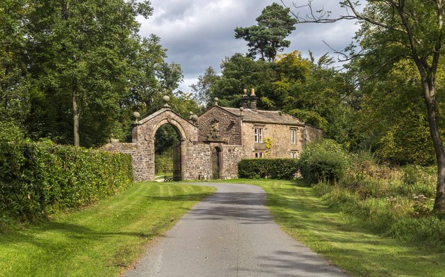
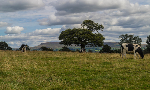
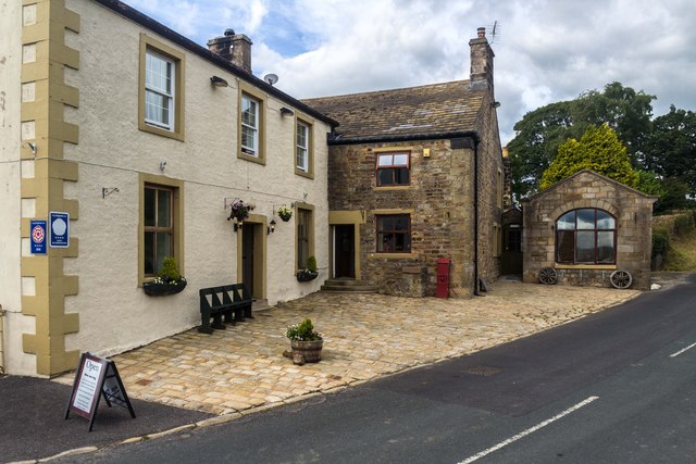
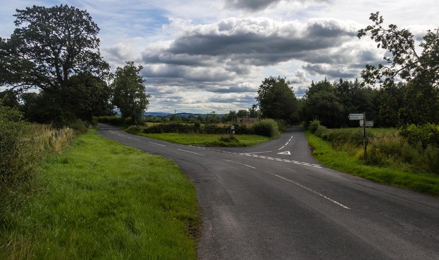
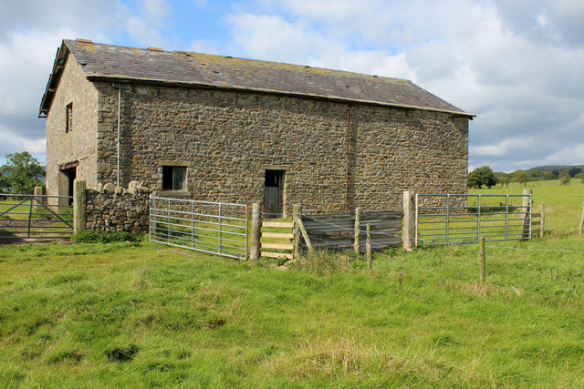
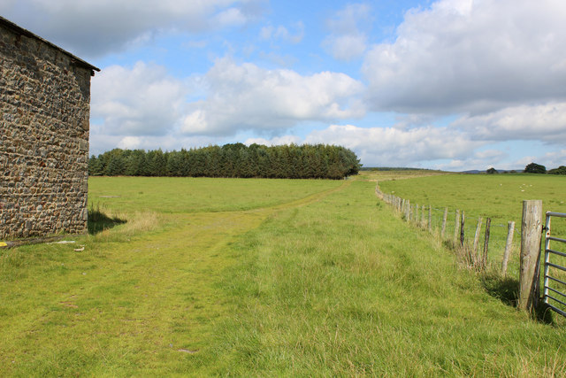
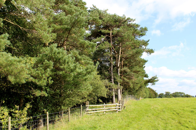
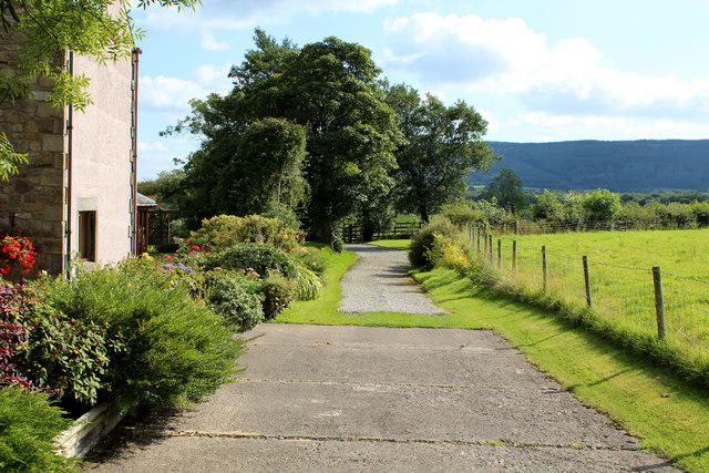
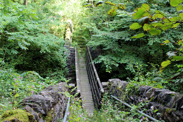
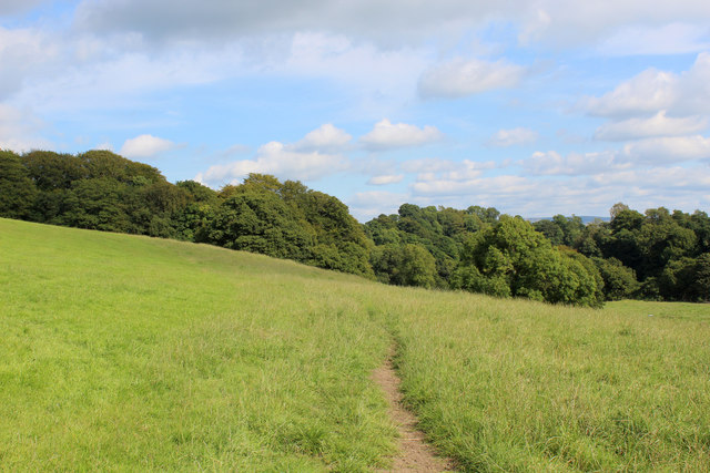
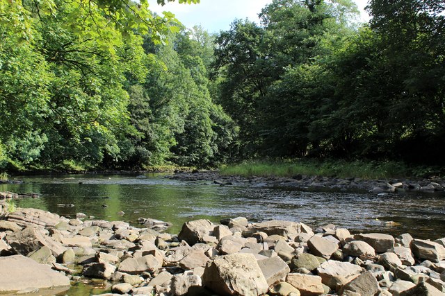
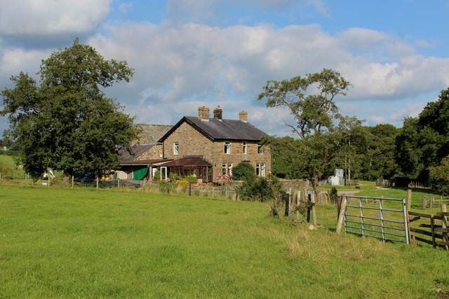
Buck Hill Images
Images are sourced within 2km of 53.881173/-2.4837491 or Grid Reference SD6842. Thanks to Geograph Open Source API. All images are credited.
Buck Hill is located at Grid Ref: SD6842 (Lat: 53.881173, Lng: -2.4837491)
Division: West Riding
Administrative County: Lancashire
District: Ribble Valley
Police Authority: Lancashire
What 3 Words
///daunting.noses.hurtles. Near Waddington, Lancashire
Nearby Locations
Related Wikis

Bashall Eaves
Bashall Eaves is a village and civil parish in the Ribble Valley district of Lancashire, England, about four miles (6 km) west of Clitheroe. The placename...

Browsholme Hall
Browsholme Hall is a privately owned Tudor house in the parish of Bowland Forest Low in the borough of Ribble Valley, Lancashire (although historically...

Higher Lees Farmhouse
Higher Lees Farmhouse is an historic building in the English parish of Bowland Forest Low, Lancashire. It is Grade II listed, built around 1780, and is...

Cow Ark Farmhouse
Cow Ark Farmhouse is a historic building in the English parish of Bowland Forest Low, Lancashire. It is Grade II listed, built around 1780, and is a sandstone...

Longridge Fell
Longridge Fell is the most southerly fell in England, near the town of Longridge, Lancashire. It lies at the southern end of the Forest of Bowland Area...

Lower Lees Farmhouse
Lower Lees Farmhouse is a historic building in the English parish of Bowland Forest Low, Lancashire. It is Grade II listed, built in 1678, and is a sandstone...

Bowland Forest Low
Bowland Forest Low is a civil parish in the Ribble Valley district of Lancashire, England, covering some 5,500 acres (22 km2) of the Forest of Bowland...

River Loud
The River Loud is a river of Lancashire, England. Starting out on Parlick, the Loud meanders mainly through the parish of Chipping, tracing its course...
Nearby Amenities
Located within 500m of 53.881173,-2.4837491Have you been to Buck Hill?
Leave your review of Buck Hill below (or comments, questions and feedback).