Long Plantation

Wood, Forest in Lancashire Ribble Valley

England

Long Plantation

Old Wayside Cross south of Old Clitheroe Road Kemple End Cross, or the Cross of St Paulinus, is a wayside cross with old head, shaft and base. Set beside a footpath in a field south of the Old Clitheroe Road in Aighton, Bailey and Chaigley parish. Reference <span class="nowrap"><a title="https://thejournalofantiquities.com/category/the-kemple-end-cross/" rel="nofollow ugc noopener" href="https://thejournalofantiquities.com/category/the-kemple-end-cross/">Link</a><img style="margin-left:2px;" alt="External link" title="External link - shift click to open in new window" src="https://s1.geograph.org.uk/img/external.png" width="10" height="10"/></span>. Grade II Listed <span class="nowrap"><a title="https://historicengland.org.uk/listing/the-list/list-entry/1146900" rel="nofollow ugc noopener" href="https://historicengland.org.uk/listing/the-list/list-entry/1146900">Link</a><img style="margin-left:2px;" alt="External link" title="External link - shift click to open in new window" src="https://s1.geograph.org.uk/img/external.png" width="10" height="10"/></span>. See also <span class="nowrap"><a title="https://www.flickr.com/photos/67668518@N08/9725412982" rel="nofollow ugc noopener" href="https://www.flickr.com/photos/67668518@N08/9725412982">Link</a><img style="margin-left:2px;" alt="External link" title="External link - shift click to open in new window" src="https://s1.geograph.org.uk/img/external.png" width="10" height="10"/></span>.

Milestone Society National ID: LARV_AIG01
Old Wayside Cross south of Old Clitheroe Road Credit: S Lister

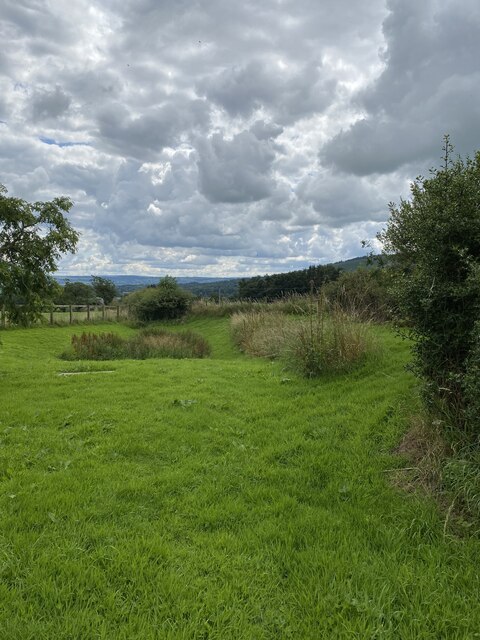
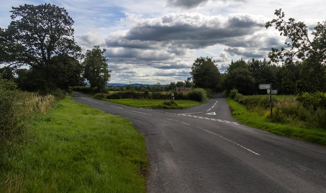
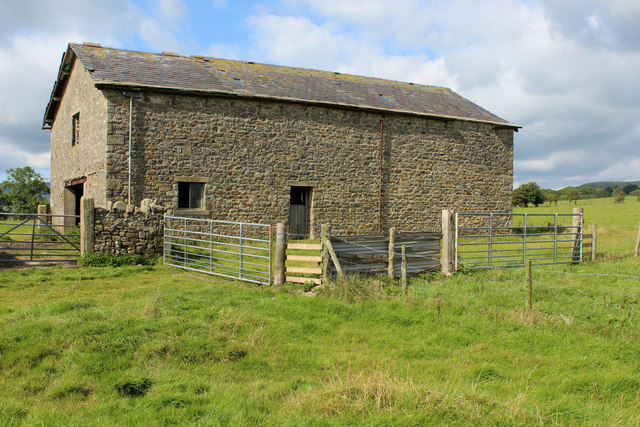
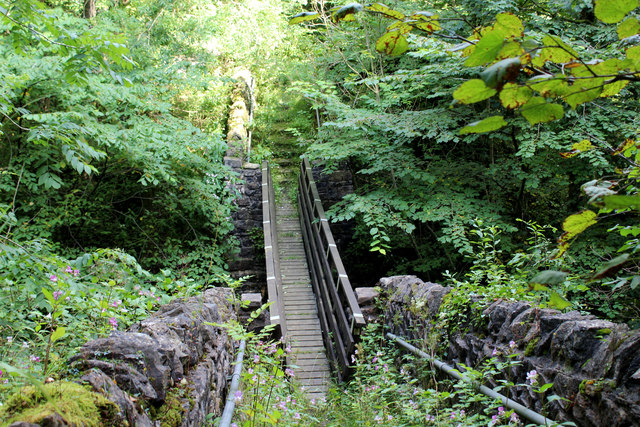
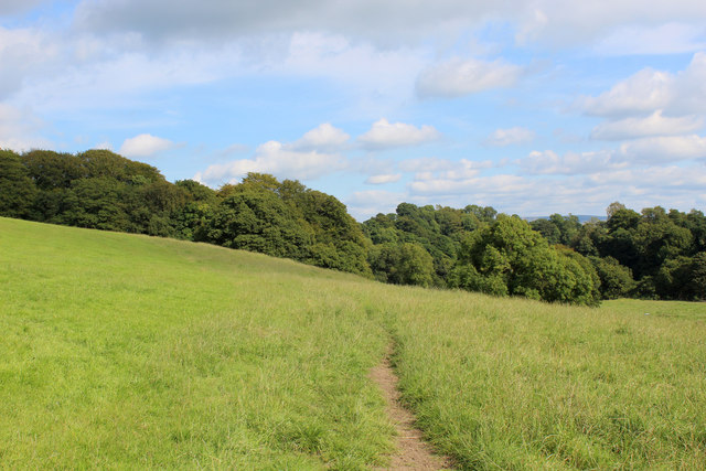
Long Plantation is a picturesque woodland located in the county of Lancashire, England. Situated near the village of Wood, this forested area spans over a vast expanse of approximately 500 acres. Known for its natural beauty and diverse wildlife, Long Plantation has become a popular destination among nature enthusiasts and outdoor adventurers.

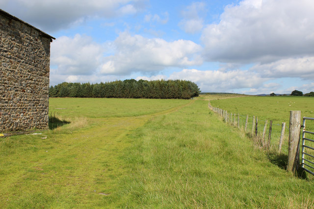
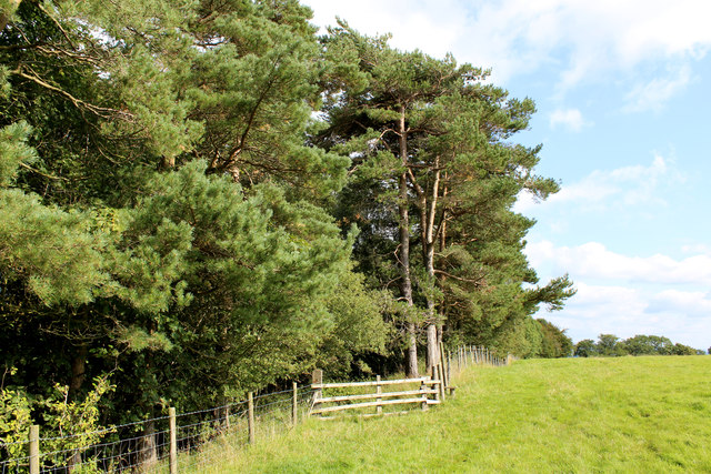
The woodland is characterized by its dense canopy of mature trees, predominantly consisting of oak, birch, and beech. These towering trees provide a serene and tranquil environment, making it an ideal spot for peaceful walks, picnics, and birdwatching. The forest floor is adorned with a rich carpet of moss, ferns, and wildflowers, creating a vibrant and colorful display throughout the year.

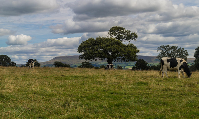
Long Plantation is home to a wide variety of wildlife species. Bird lovers can spot various feathered residents, including woodpeckers, owls, and thrushes. The forest also attracts mammals such as deer, foxes, and rabbits. Nature enthusiasts may also encounter smaller creatures like squirrels, badgers, and hedgehogs, all thriving within this diverse ecosystem.

Visitors can explore the woodland through a network of well-maintained walking trails, which wind their way through the forest and offer breathtaking views at every turn. The trails are suitable for all ages and abilities, with options for shorter leisurely strolls or longer, more challenging hikes.

Long Plantation is a cherished natural haven in Lancashire, providing a peaceful escape from the hustle and bustle of everyday life. Its beauty, tranquility, and abundant wildlife make it a must-visit destination for those seeking a connection with nature.

If you have any feedback on the listing, please let us know in the comments section below.

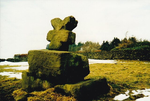
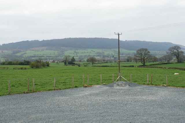
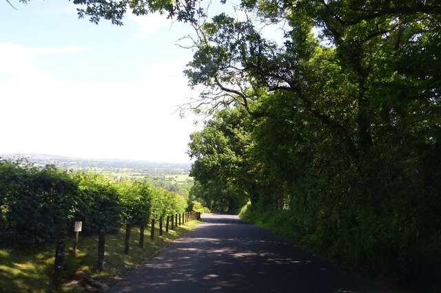
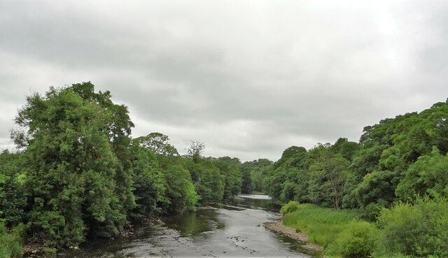
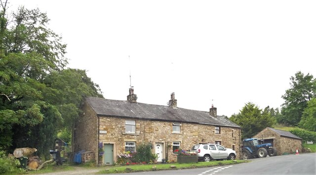
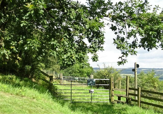
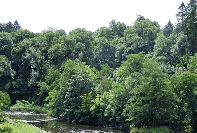
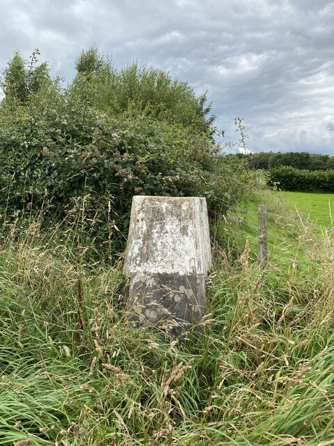
Long Plantation Images

Images are sourced within 2km of 53.876907/-2.4828025 or Grid Reference SD6842. Thanks to Geograph Open Source API. All images are credited.

Old Wayside Cross south of Old Clitheroe Road Kemple End Cross, or the Cross of St Paulinus, is a wayside cross with old head, shaft and base. Set beside a footpath in a field south of the Old Clitheroe Road in Aighton, Bailey and Chaigley parish. Reference <span class="nowrap"><a title="https://thejournalofantiquities.com/category/the-kemple-end-cross/" rel="nofollow ugc noopener" href="https://thejournalofantiquities.com/category/the-kemple-end-cross/">Link</a><img style="margin-left:2px;" alt="External link" title="External link - shift click to open in new window" src="https://s1.geograph.org.uk/img/external.png" width="10" height="10"/></span>. Grade II Listed <span class="nowrap"><a title="https://historicengland.org.uk/listing/the-list/list-entry/1146900" rel="nofollow ugc noopener" href="https://historicengland.org.uk/listing/the-list/list-entry/1146900">Link</a><img style="margin-left:2px;" alt="External link" title="External link - shift click to open in new window" src="https://s1.geograph.org.uk/img/external.png" width="10" height="10"/></span>. See also <span class="nowrap"><a title="https://www.flickr.com/photos/67668518@N08/9725412982" rel="nofollow ugc noopener" href="https://www.flickr.com/photos/67668518@N08/9725412982">Link</a><img style="margin-left:2px;" alt="External link" title="External link - shift click to open in new window" src="https://s1.geograph.org.uk/img/external.png" width="10" height="10"/></span>.

Milestone Society National ID: LARV_AIG01
Old Wayside Cross south of Old Clitheroe Road
Kemple End Cross, or the Cross of St Paulinus, is a wayside cross with old head, shaft and base. Set beside a footpath in a field south of the Old Clitheroe Road in Aighton, Bailey and Chaigley parish. Reference LinkExternal link. Grade II Listed LinkExternal link. See also LinkExternal link. Milestone Society National ID: LARV_AIG01
Farmland near Bashall Eaves Looking towards Longridge Fell from the car park of the Red Pump Inn, some of which can be seen in the foreground.
Farmland near Bashall Eaves
Looking towards Longridge Fell from the car park of the Red Pump Inn, some of which can be seen in the foreground.
Birdy Brow Approaching Kemple End.
Birdy Brow
Approaching Kemple End.
River Hodder From Higher Hodder Bridge.
River Hodder
From Higher Hodder Bridge.
Higher Hodder Bridge Cottages On the boundary of Chaigley.
Higher Hodder Bridge Cottages
On the boundary of Chaigley.
Public footpath The path crosses private land and walkers are requested to keep strictly to the path.
Public footpath
The path crosses private land and walkers are requested to keep strictly to the path.
River Hodder From Higher Hodder Bridge.
River Hodder
From Higher Hodder Bridge.
Memorial Plaque - Dorothea Margaret Worsley-Taylor
Memorial Garden for Dorothea Margaret Worsley-Taylor
Bashall Eaves Trig Point Flush Bracket S4682
Bashall Eaves Farmland near Bashall Eaves.
Bashall Eaves
Farmland near Bashall Eaves.
Red Pump Inn The Red Pump Inn at Bashall Eaves.
Red Pump Inn
The Red Pump Inn at Bashall Eaves.
Moss Barn Diverging roads at Moss Barn.
Moss Barn
Diverging roads at Moss Barn.
Kinder Barn Substantial, but isolated stone barn between Lees House Farm and Mickelhurst Farm in the Hodder Valley.
Kinder Barn
Substantial, but isolated stone barn between Lees House Farm and Mickelhurst Farm in the Hodder Valley.
Green Track leading towards Mickelhurst Farm Public footpath, beside Kinder Barn heading north west towards Mickelhurst Farm
Green Track leading towards Mickelhurst Farm
Public footpath, beside Kinder Barn heading north west towards Mickelhurst Farm
Footpath leading into Limes Wood Once over the stile, the footpath plunges steeply down into the woods to cross a stream.
Footpath leading into Limes Wood
Once over the stile, the footpath plunges steeply down into the woods to cross a stream.
Footbridge in Limes Wood The footbridge spans a deep chasm that contains a rushing stream - the content is the result of the merging of Cow Ark Brook and Mill Brook.
The bridge is substantial, but the footpath is crumbling into decay and is hard to follow as it is smothered in vegetation.
Footbridge in Limes Wood
The footbridge spans a deep chasm that contains a rushing stream - the content is the result of the merging of Cow Ark Brook and Mill Brook. The bridge is substantial, but the footpath is crumbling into decay and is hard to follow as it is smothered in vegetation.
Footpath heading towards Paper Mill Wood The footpath leaving Limes Wood is hard to follow, not being very evident on the ground and no indicating signage.  It only appears in physical form at this point, before submerging into grass.
Footpath heading towards Paper Mill Wood
The footpath leaving Limes Wood is hard to follow, not being very evident on the ground and no indicating signage. It only appears in physical form at this point, before submerging into grass.
Show me another place!

Long Plantation is located at Grid Ref: SD6842 (Lat: 53.876907, Lng: -2.4828025)

Administrative County: Lancashire

District: Ribble Valley

Police Authority: Lancashire

What 3 Words

///stirs.hungry.verve. Near Waddington, Lancashire

Related Wikis

Bashall Eaves

Bashall Eaves is a village and civil parish in the Ribble Valley district of Lancashire, England, about four miles (6 km) west of Clitheroe. The placename...

Longridge Fell

Longridge Fell is the most southerly fell in England, near the town of Longridge, Lancashire. It lies at the southern end of the Forest of Bowland Area...

Browsholme Hall

Browsholme Hall is a privately owned Tudor house in the parish of Bowland Forest Low in the borough of Ribble Valley, Lancashire (although historically...

Higher Lees Farmhouse

Higher Lees Farmhouse is an historic building in the English parish of Bowland Forest Low, Lancashire. It is Grade II listed, built around 1780, and is...

Cow Ark Farmhouse

Cow Ark Farmhouse is a historic building in the English parish of Bowland Forest Low, Lancashire. It is Grade II listed, built around 1780, and is a sandstone...

River Loud

The River Loud is a river of Lancashire, England. Starting out on Parlick, the Loud meanders mainly through the parish of Chipping, tracing its course...
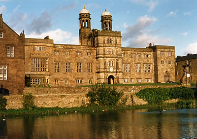
Stonyhurst College

Stonyhurst College is a co-educational Roman Catholic independent school, adhering to the Jesuit tradition, on the Stonyhurst Estate, Lancashire, England...

Libraries and collections of Stonyhurst College

The Jesuit origins of Stonyhurst College in Lancashire, England, have enabled it to amass a large collection of books, a number of which concern recusant...

Related Videos

Tolkien Trail - Walking To Stonyhurst College

Me and my dad went to Tolkien Trail to see Stonyhurst College, my dad has never been to Stonyhurst College before and I have.

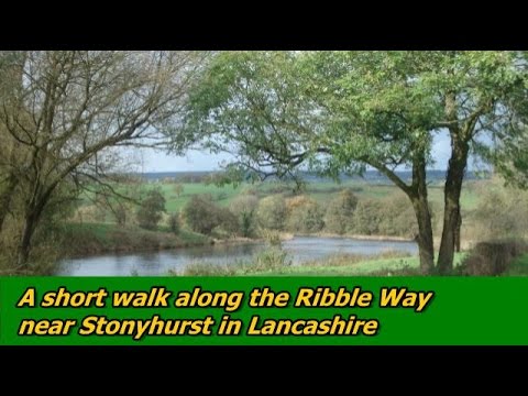
A short walk along the Ribble Way near Stonyhurst in the Ribble Valley Lancashire

The walk starts at the juction of the B6243 Whalley Road and Knowles Brow in the Ribble Valley, Lancashire. At the start there are ...

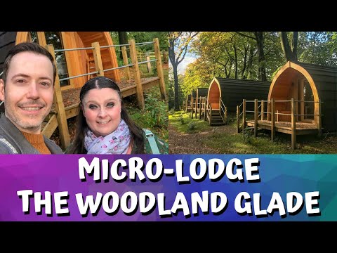
Micro-Lodge | The Woodland Glade | Browsholme Hall and Tithe Barn

For anyone new to our channel, we're Gem and Ant and we are Disney geeks. We mainly vlog our trips to the Disney Parks and ...

Browsholme Hall Wedding Video

A beautiful wedding film shot at Browsholme Hall and Tithe Barn, Lancashire.

Nearby Amenities

Located within 500m of 53.876907,-2.4828025
The data included in this document is from www.openstreetmap.org. The data is made available under ODbL.

Have you been to Long Plantation?

Leave your review of Long Plantation below (or comments, questions and feedback).