Paper Mill Pool

Lake, Pool, Pond, Freshwater Marsh in Yorkshire Ribble Valley

England

Paper Mill Pool

Farmland near Bashall Eaves Looking towards Longridge Fell from the car park of the Red Pump Inn, some of which can be seen in the foreground.
Farmland near Bashall Eaves Credit: Bill Boaden

Paper Mill Pool is a picturesque freshwater body located in Yorkshire, England. Situated amidst the beautiful countryside, this tranquil oasis offers a serene and peaceful environment for visitors to relax and enjoy the natural beauty of the area.

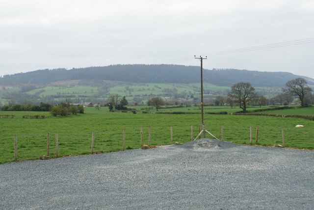
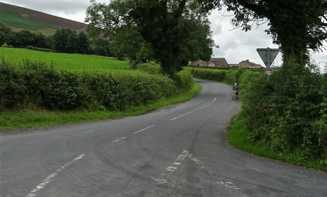
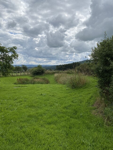
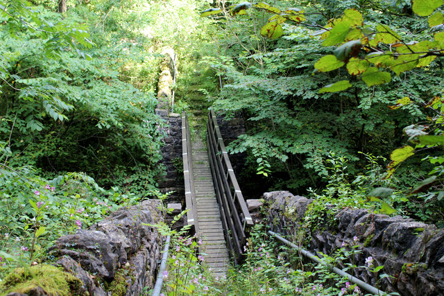
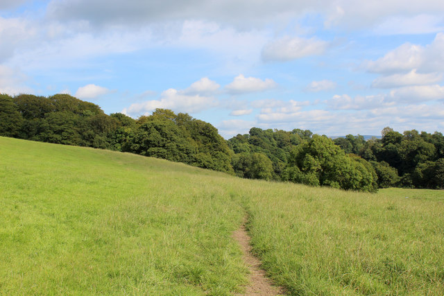
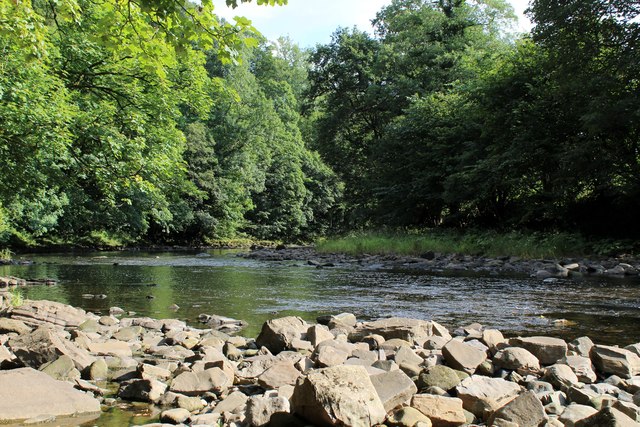
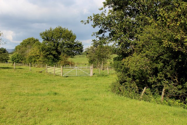
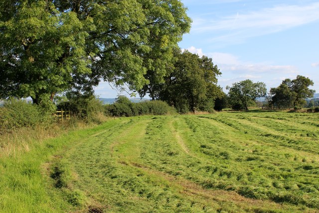
Covering an area of approximately 10 acres, Paper Mill Pool is a combination of a lake, pool, pond, and freshwater marsh. The pool is surrounded by lush greenery, with tall trees and shrubs providing a natural barrier and creating a sense of privacy. The water is clear and inviting, making it an ideal spot for swimming and water-based activities.

The pool is fed by a small stream that runs through the surrounding woodland, ensuring a constant flow of freshwater. This stream also adds to the overall aesthetic appeal of the pool, with its babbling waters and gentle sounds creating a soothing and calming atmosphere.

The pool is home to a diverse range of plant and animal species, making it a haven for nature enthusiasts and birdwatchers. The surrounding marshland provides a valuable habitat for various species of birds, including ducks, herons, and kingfishers, which can often be spotted along the water's edge.

Visitors to Paper Mill Pool can enjoy a range of activities, such as fishing, boating, and picnicking. The pool is well-stocked with fish, including carp, roach, and perch, providing ample opportunities for anglers to indulge in their favorite pastime.

In conclusion, Paper Mill Pool is a charming and idyllic freshwater body in Yorkshire, offering a peaceful and scenic environment for visitors to immerse themselves in nature's beauty and enjoy a range of recreational activities.

If you have any feedback on the listing, please let us know in the comments section below.

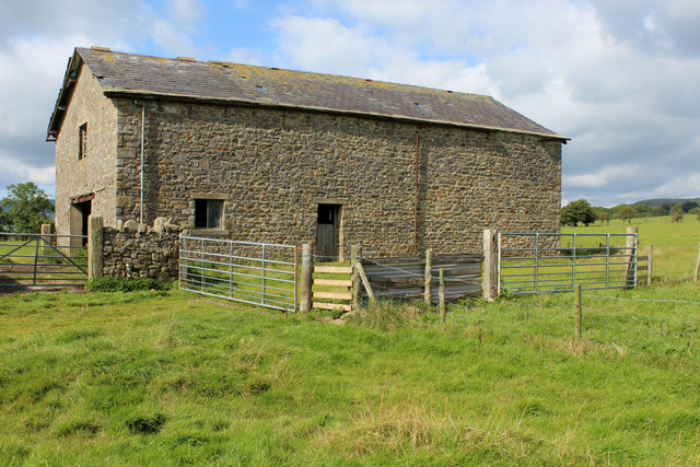
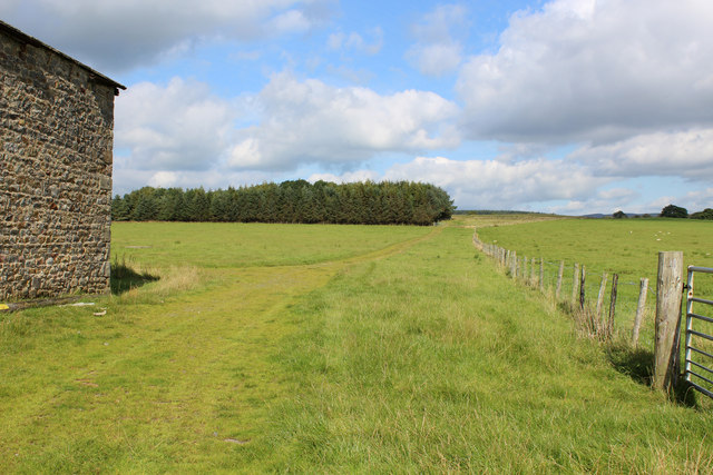
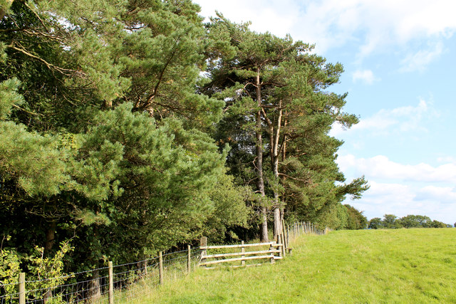
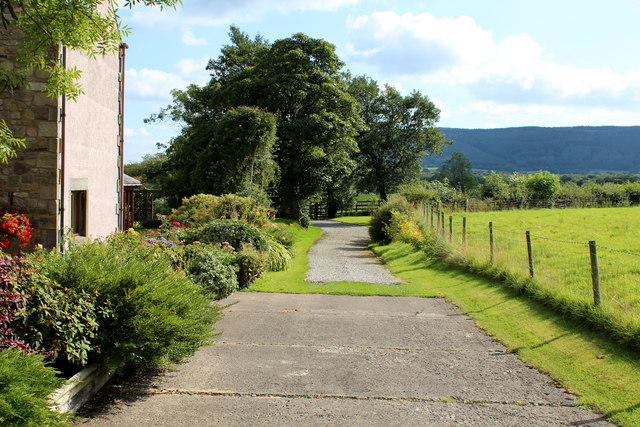
Paper Mill Pool Images

Images are sourced within 2km of 53.87785/-2.4875135 or Grid Reference SD6842. Thanks to Geograph Open Source API. All images are credited.

Farmland near Bashall Eaves Looking towards Longridge Fell from the car park of the Red Pump Inn, some of which can be seen in the foreground.
Farmland near Bashall Eaves
Looking towards Longridge Fell from the car park of the Red Pump Inn, some of which can be seen in the foreground.
Looking towards Head of Moor The road to the right leads to Chipping.
Looking towards Head of Moor
The road to the right leads to Chipping.
Memorial Plaque - Dorothea Margaret Worsley-Taylor
Memorial Garden for Dorothea Margaret Worsley-Taylor
Bashall Eaves Trig Point Flush Bracket S4682
Bashall Eaves Farmland near Bashall Eaves.
Bashall Eaves
Farmland near Bashall Eaves.
Red Pump Inn The Red Pump Inn at Bashall Eaves.
Red Pump Inn
The Red Pump Inn at Bashall Eaves.
Moss Barn Diverging roads at Moss Barn.
Moss Barn
Diverging roads at Moss Barn.
Kinder Barn Substantial, but isolated stone barn between Lees House Farm and Mickelhurst Farm in the Hodder Valley.
Kinder Barn
Substantial, but isolated stone barn between Lees House Farm and Mickelhurst Farm in the Hodder Valley.
Green Track leading towards Mickelhurst Farm Public footpath, beside Kinder Barn heading north west towards Mickelhurst Farm
Green Track leading towards Mickelhurst Farm
Public footpath, beside Kinder Barn heading north west towards Mickelhurst Farm
Footpath leading into Limes Wood Once over the stile, the footpath plunges steeply down into the woods to cross a stream.
Footpath leading into Limes Wood
Once over the stile, the footpath plunges steeply down into the woods to cross a stream.
Leaving Lees House Farm A track leads south east beside Limes Wood
Leaving Lees House Farm
A track leads south east beside Limes Wood
Footbridge in Limes Wood The footbridge spans a deep chasm that contains a rushing stream - the content is the result of the merging of Cow Ark Brook and Mill Brook.
The bridge is substantial, but the footpath is crumbling into decay and is hard to follow as it is smothered in vegetation.
Footbridge in Limes Wood
The footbridge spans a deep chasm that contains a rushing stream - the content is the result of the merging of Cow Ark Brook and Mill Brook. The bridge is substantial, but the footpath is crumbling into decay and is hard to follow as it is smothered in vegetation.
Footpath heading towards Paper Mill Wood The footpath leaving Limes Wood is hard to follow, not being very evident on the ground and no indicating signage.  It only appears in physical form at this point, before submerging into grass.
Footpath heading towards Paper Mill Wood
The footpath leaving Limes Wood is hard to follow, not being very evident on the ground and no indicating signage. It only appears in physical form at this point, before submerging into grass.
River Hodder in Paper Mill Wood The river in a particularly pleasant setting - but the footpath I was following completely disappeared and progress through the woods is almost impossible due to the extreme steep sided nature of the terrain.
No footpath signs were in evidence, although I found a battered stile which was beyond useless.
River Hodder in Paper Mill Wood
The river in a particularly pleasant setting - but the footpath I was following completely disappeared and progress through the woods is almost impossible due to the extreme steep sided nature of the terrain. No footpath signs were in evidence, although I found a battered stile which was beyond useless.
Buck Thorn Marked on the definintive map a Buck Thorn.  A faded sign on the premises, however, indicated this establishment as Thornbuck House
Buck Thorn
Marked on the definintive map a Buck Thorn. A faded sign on the premises, however, indicated this establishment as Thornbuck House
Beside Agden Wood Country scene between Aigden and Horse Hey Farms
Beside Agden Wood
Country scene between Aigden and Horse Hey Farms
Field at Lower Tittherington A public footpath follows the field boundary, en route to reach the access lane from Horse Hey Farm
Field at Lower Tittherington
A public footpath follows the field boundary, en route to reach the access lane from Horse Hey Farm
Show me another place!

Paper Mill Pool is located at Grid Ref: SD6842 (Lat: 53.87785, Lng: -2.4875135)

Division: West Riding

Administrative County: Lancashire

District: Ribble Valley

Police Authority: Lancashire

What 3 Words

///hides.hidden.otherwise. Near Waddington, Lancashire

Related Wikis

Bashall Eaves

Bashall Eaves is a village and civil parish in the Ribble Valley district of Lancashire, England, about four miles (6 km) west of Clitheroe. The placename...

Longridge Fell

Longridge Fell is the most southerly fell in England, near the town of Longridge, Lancashire. It lies at the southern end of the Forest of Bowland Area...

Browsholme Hall

Browsholme Hall is a privately owned Tudor house in the parish of Bowland Forest Low in the borough of Ribble Valley, Lancashire (although historically...

Higher Lees Farmhouse

Higher Lees Farmhouse is an historic building in the English parish of Bowland Forest Low, Lancashire. It is Grade II listed, built around 1780, and is...

Cow Ark Farmhouse

Cow Ark Farmhouse is a historic building in the English parish of Bowland Forest Low, Lancashire. It is Grade II listed, built around 1780, and is a sandstone...

River Loud

The River Loud is a river of Lancashire, England. Starting out on Parlick, the Loud meanders mainly through the parish of Chipping, tracing its course...

Lower Lees Farmhouse

Lower Lees Farmhouse is a historic building in the English parish of Bowland Forest Low, Lancashire. It is Grade II listed, built in 1678, and is a sandstone...

Libraries and collections of Stonyhurst College

The Jesuit origins of Stonyhurst College in Lancashire, England, have enabled it to amass a large collection of books, a number of which concern recusant...

Nearby Amenities

Located within 500m of 53.87785,-2.4875135
tumulus ?
Historic: archaeological_site
Source: OS 1:25k
Lat/Long: 53.8808322/-2.4931229
The data included in this document is from www.openstreetmap.org. The data is made available under ODbL.

Have you been to Paper Mill Pool?

Leave your review of Paper Mill Pool below (or comments, questions and feedback).