Paper Mill Wood
Wood, Forest in Lancashire Ribble Valley
England
Paper Mill Wood
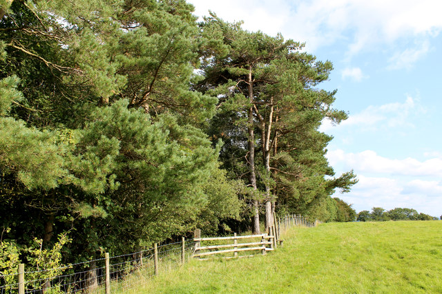
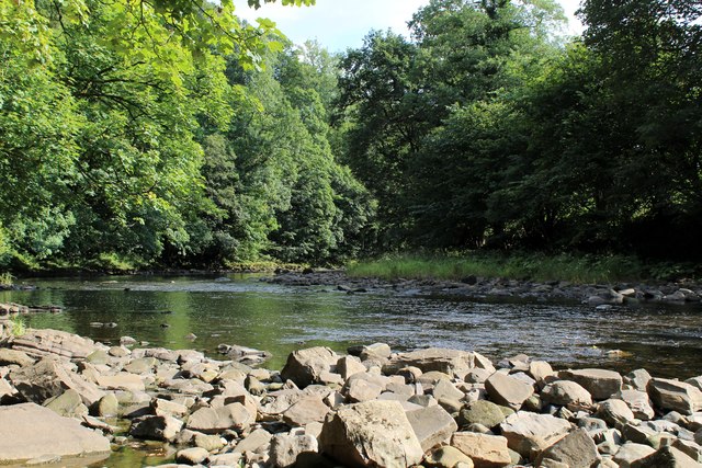
Paper Mill Wood is a small woodland located in the county of Lancashire, England. It covers an area of approximately 20 hectares and is situated near the village of Wood, hence its name. The woodland is mainly composed of deciduous trees, such as oak, beech, and birch, with some coniferous species scattered throughout.
The history of Paper Mill Wood can be traced back to the 18th century when it was used as a source of timber for the local paper mill, which is no longer in operation. The wood was selectively logged for many years, but today it is managed by the local forestry commission for conservation purposes.
The wood is a haven for wildlife, providing a diverse range of habitats for various species. It is home to a variety of birds, including woodpeckers, owls, and songbirds, which can be heard singing throughout the year. Small mammals, such as squirrels and foxes, are also commonly found in the area.
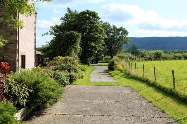
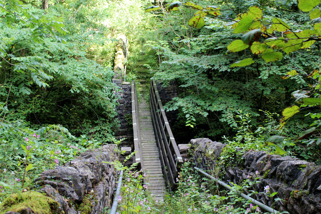
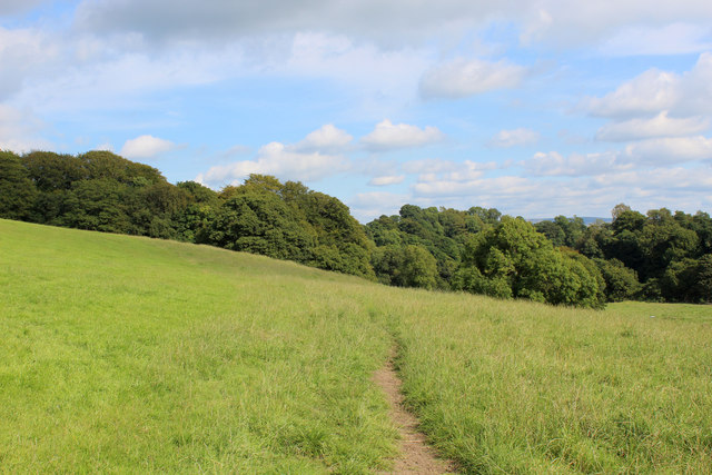
Visitors to Paper Mill Wood can enjoy a peaceful and tranquil environment, perfect for nature walks and picnics. There are several well-maintained footpaths that wind through the wood, allowing visitors to explore its beauty and discover its hidden treasures. The wood is particularly popular during the spring when it is adorned with vibrant wildflowers, creating a picturesque setting.
Overall, Paper Mill Wood is a charming woodland that offers a peaceful retreat for both nature enthusiasts and those seeking a break from the hustle and bustle of everyday life. With its rich history and diverse range of flora and fauna, it is a true gem that showcases the beauty of Lancashire's natural landscape.
If you have any feedback on the listing, please let us know in the comments section below.
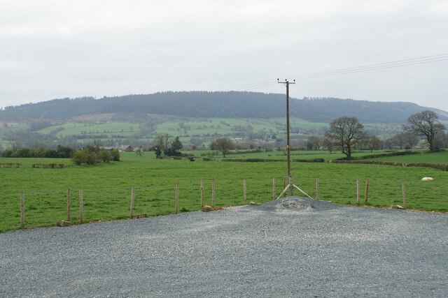
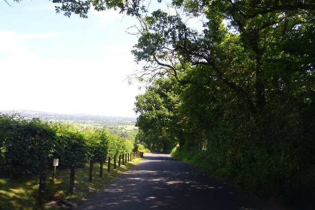
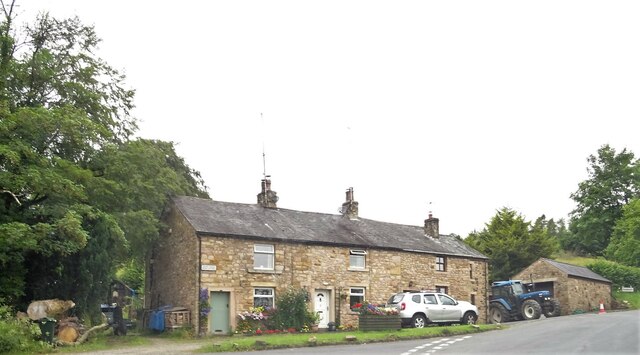
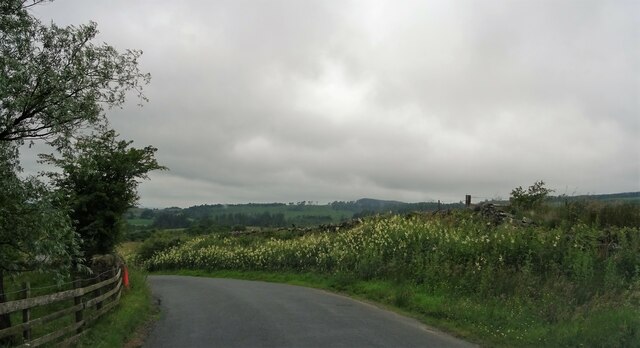
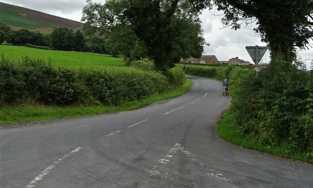
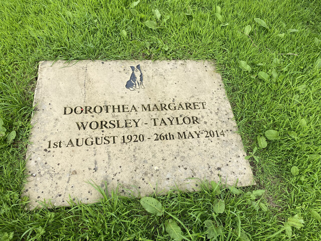
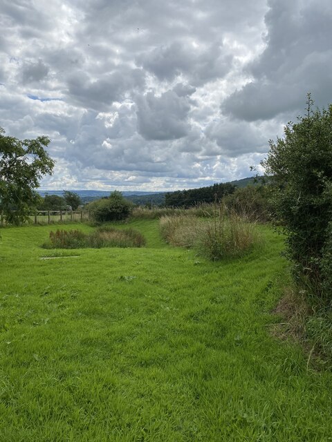
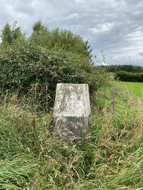
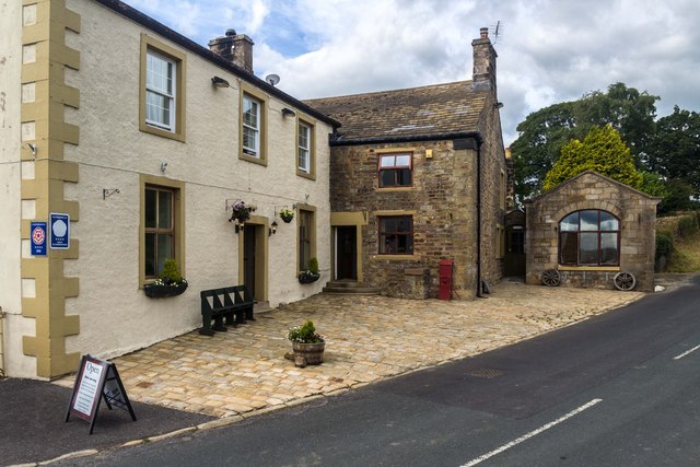
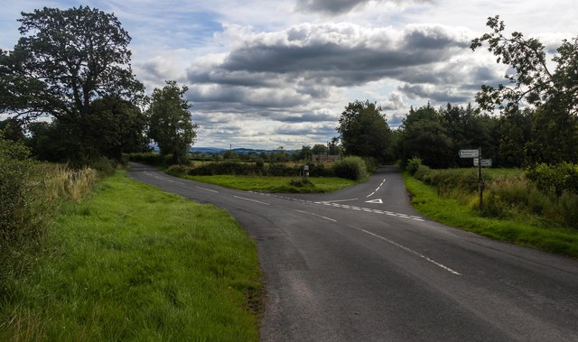
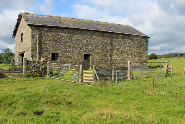
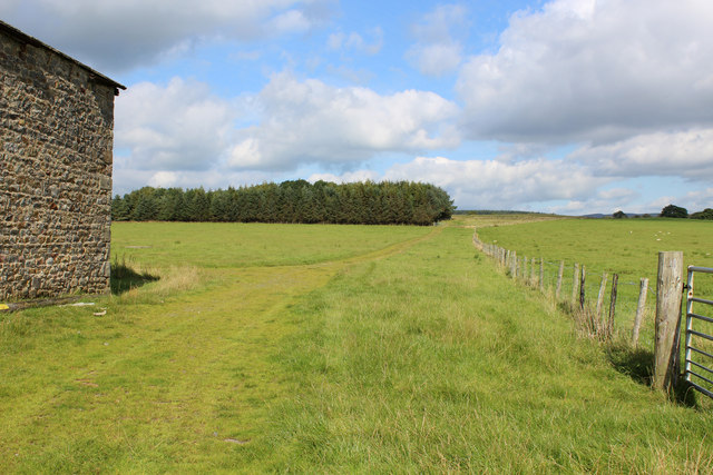
Paper Mill Wood Images
Images are sourced within 2km of 53.876756/-2.4868619 or Grid Reference SD6842. Thanks to Geograph Open Source API. All images are credited.
Paper Mill Wood is located at Grid Ref: SD6842 (Lat: 53.876756, Lng: -2.4868619)
Administrative County: Lancashire
District: Ribble Valley
Police Authority: Lancashire
What 3 Words
///weedy.bibs.screeches. Near Waddington, Lancashire
Nearby Locations
Related Wikis

Bashall Eaves
Bashall Eaves is a village and civil parish in the Ribble Valley district of Lancashire, England, about four miles (6 km) west of Clitheroe. The placename...

Longridge Fell
Longridge Fell is the most southerly fell in England, near the town of Longridge, Lancashire. It lies at the southern end of the Forest of Bowland Area...

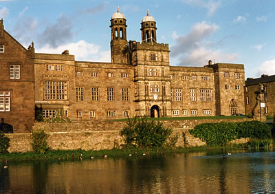
Browsholme Hall
Browsholme Hall is a privately owned Tudor house in the parish of Bowland Forest Low in the borough of Ribble Valley, Lancashire (although historically...

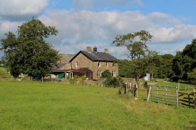
Higher Lees Farmhouse
Higher Lees Farmhouse is an historic building in the English parish of Bowland Forest Low, Lancashire. It is Grade II listed, built around 1780, and is...

Cow Ark Farmhouse
Cow Ark Farmhouse is a historic building in the English parish of Bowland Forest Low, Lancashire. It is Grade II listed, built around 1780, and is a sandstone...

River Loud
The River Loud is a river of Lancashire, England. Starting out on Parlick, the Loud meanders mainly through the parish of Chipping, tracing its course...

Lower Lees Farmhouse
Lower Lees Farmhouse is a historic building in the English parish of Bowland Forest Low, Lancashire. It is Grade II listed, built in 1678, and is a sandstone...
Libraries and collections of Stonyhurst College
The Jesuit origins of Stonyhurst College in Lancashire, England, have enabled it to amass a large collection of books, a number of which concern recusant...
Nearby Amenities
Located within 500m of 53.876756,-2.4868619Have you been to Paper Mill Wood?
Leave your review of Paper Mill Wood below (or comments, questions and feedback).