Fernbrake Hill

Hill, Mountain in Gloucestershire Forest of Dean

England

Fernbrake Hill

Pond outflow near Upper Soudley
Pond outflow near Upper Soudley Credit: Steven Brown

Fernbrake Hill, located in Gloucestershire, England, is a prominent hill that forms part of the Cotswold Range. Standing at an elevation of approximately 235 meters (770 feet), it offers breathtaking panoramic views of the surrounding countryside. The hill is situated near the village of Birdlip, just off the A417 road, and is a popular destination for hikers and nature enthusiasts.

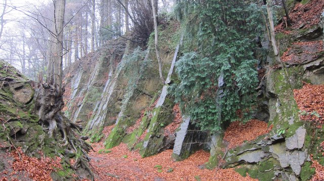
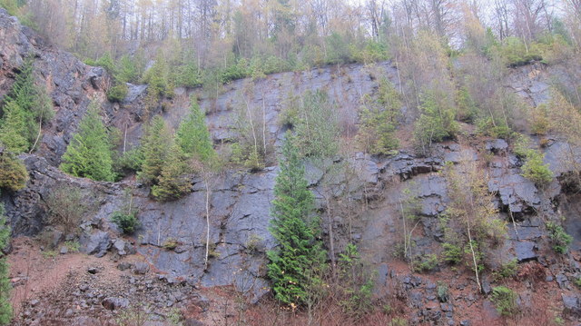
The hill is characterized by its lush greenery, particularly the abundance of ferns that give it its name. The ferns, along with other native plants and trees, create a picturesque landscape that changes with the seasons. From vibrant spring blooms to golden autumn hues, Fernbrake Hill offers a visual feast for visitors all year round.

Apart from its natural beauty, Fernbrake Hill is also renowned for its archaeological significance. The hill is home to several Iron Age hillforts, which are believed to have been occupied from the 6th century BC to the Roman conquest. These hillforts provide valuable insight into the region's ancient history and have attracted archaeological research and exploration.

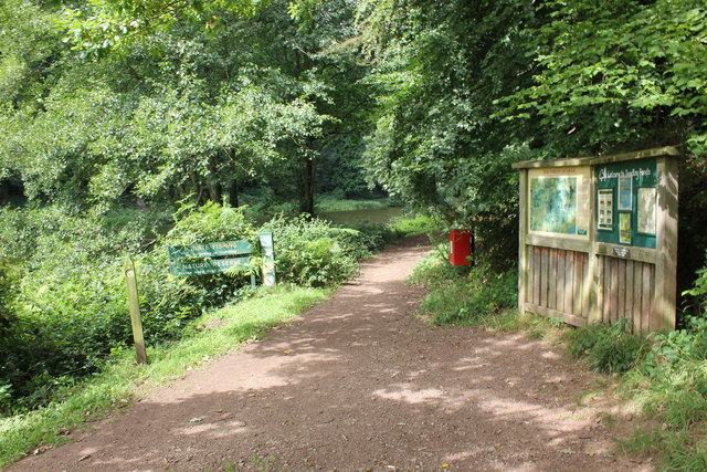
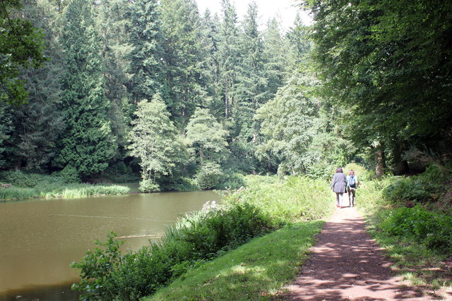
In addition to its historical and natural attractions, Fernbrake Hill boasts a network of well-maintained footpaths, making it an ideal spot for walkers and ramblers. The paths lead visitors through woodlands, meadows, and along the hill's ridge, offering stunning views of the rolling Gloucestershire countryside.

Overall, Fernbrake Hill is a captivating destination, combining natural beauty, archaeological significance, and recreational opportunities. Whether it's for a leisurely stroll, a historical exploration, or simply to soak in the breathtaking scenery, this Gloucestershire hill offers something for everyone.

If you have any feedback on the listing, please let us know in the comments section below.

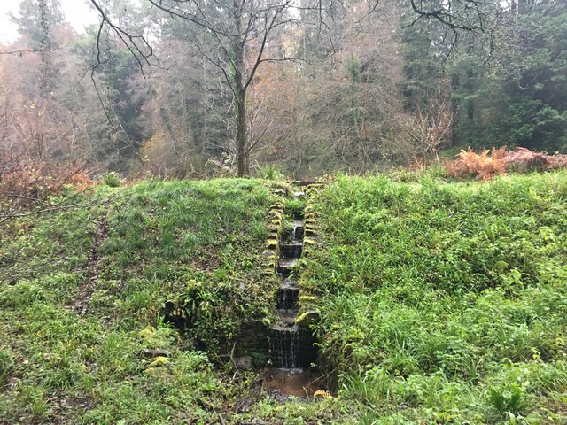
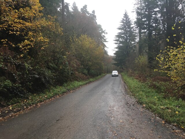
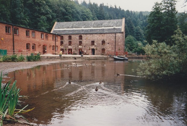
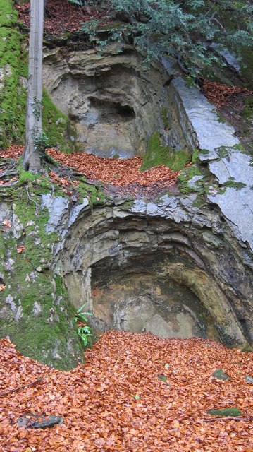
Fernbrake Hill Images

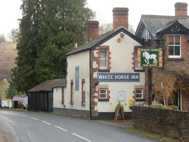
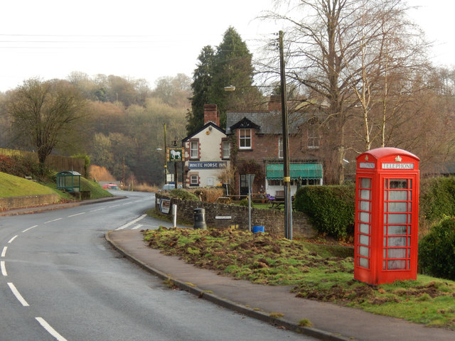
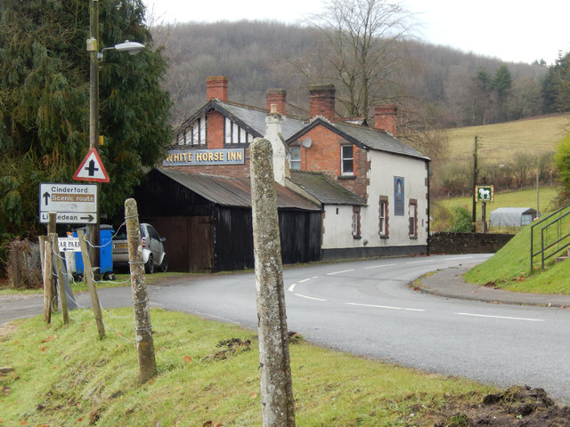
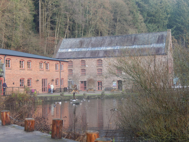
Images are sourced within 2km of 51.787842/-2.4833063 or Grid Reference SO6610. Thanks to Geograph Open Source API. All images are credited.

Pond outflow near Upper Soudley
Minor road towards Littledean
Dean Heritage Centre Ducks on the pond beside the centre.
Dean Heritage Centre
Ducks on the pond beside the centre.
Remains of limestone extraction workings The softer limestone has been extracted from harder dolomite by a process of heating by fire and quenching by cold water.
Remains of limestone extraction workings
The softer limestone has been extracted from harder dolomite by a process of heating by fire and quenching by cold water.
Exposed ribs of dolomite The harder layers of dolomite remain where softer limestone has been extracted by a laborious fire/quenching process.
Exposed ribs of dolomite
The harder layers of dolomite remain where softer limestone has been extracted by a laborious fire/quenching process.
The Easterly face of Shakemantle Quarry A now disused dolomite quarry where rock was crushed for roadbuilding and brickmaking.
The Easterly face of Shakemantle Quarry
A now disused dolomite quarry where rock was crushed for roadbuilding and brickmaking.
Findall chimney-well hidden in extensive beech woods This well preserved monument to industry in the Forest of Dean coal field utilised the rising hot air from a fire at the base of the chimney to pull out stale air from the adjacent coal mines.
Findall chimney-well hidden in extensive beech woods
This well preserved monument to industry in the Forest of Dean coal field utilised the rising hot air from a fire at the base of the chimney to pull out stale air from the adjacent coal mines.
Children's activities at Dean Heritage Centre Same facade as <a href="https://www.geograph.org.uk/photo/1723623">SO6610 : Forest of Dean Heritage Centre</a> but from a different angle.
Children's activities at Dean Heritage Centre
Same facade as SO6610 : Forest of Dean Heritage Centre but from a different angle.
The White Horse Inn, Upper Soudley Village pub on Church Road apparently noted for snail racing.
The White Horse Inn, Upper Soudley
Village pub on Church Road apparently noted for snail racing.
Top Road, Upper Soudley Looking towards the White Horse Inn with a still functioning telephone box. There are plans to close the box, a controversial move because mobile reception is poor in this area.
Top Road, Upper Soudley
Looking towards the White Horse Inn with a still functioning telephone box. There are plans to close the box, a controversial move because mobile reception is poor in this area.
Church Road, Upper Soudley Ahead is the White Horse Inn. The road through the heart of the Forest of Dean is designated a scenic route. The entrance on the immediate left gives access to the pub car park but at one time there was a station here on the long-closed Cinderford branch.
Church Road, Upper Soudley
Ahead is the White Horse Inn. The road through the heart of the Forest of Dean is designated a scenic route. The entrance on the immediate left gives access to the pub car park but at one time there was a station here on the long-closed Cinderford branch.
Soudley Ponds This is the uppermost of four man-made ponds, believed to have been dug as fish ponds in the 19th century, occupying the Sutton Valley. It is a popular and, in this winter scene, atmospheric spot.
Soudley Ponds
This is the uppermost of four man-made ponds, believed to have been dug as fish ponds in the 19th century, occupying the Sutton Valley. It is a popular and, in this winter scene, atmospheric spot.
Dean Heritage Centre The Dean Heritage Centre was established in 1983 in Camp Mill, a former corn mill in Soudley. It houses a museum explaining the history of the Forest of Dean.
Dean Heritage Centre
The Dean Heritage Centre was established in 1983 in Camp Mill, a former corn mill in Soudley. It houses a museum explaining the history of the Forest of Dean.
Entrance to Soudley Ponds The entrance to Soudley Ponds (also known as Sutton Ponds).

Wikipedia <span class="nowrap"><a title="https://en.wikipedia.org/wiki/Soudley_Ponds" rel="nofollow ugc noopener" href="https://en.wikipedia.org/wiki/Soudley_Ponds">Link</a><img style="margin-left:2px;" alt="External link" title="External link - shift click to open in new window" src="https://s1.geograph.org.uk/img/external.png" width="10" height="10"/></span>
Entrance to Soudley Ponds
The entrance to Soudley Ponds (also known as Sutton Ponds). Wikipedia LinkExternal link
Soudley Ponds, Forest of Dean Soudley Ponds (also known as Sutton Ponds) comprise of four linked man-made ponds lined in succession through the narrow Sutton Valley.

Wikipedia <span class="nowrap"><a title="https://en.wikipedia.org/wiki/Soudley_Ponds" rel="nofollow ugc noopener" href="https://en.wikipedia.org/wiki/Soudley_Ponds">Link</a><img style="margin-left:2px;" alt="External link" title="External link - shift click to open in new window" src="https://s1.geograph.org.uk/img/external.png" width="10" height="10"/></span>
Soudley Ponds, Forest of Dean
Soudley Ponds (also known as Sutton Ponds) comprise of four linked man-made ponds lined in succession through the narrow Sutton Valley. Wikipedia LinkExternal link
Path and weir at Soudley Ponds Soudley Ponds (also known as Sutton Ponds) comprise of four linked man-made ponds lined in succession through the narrow Sutton Valley.

Wikipedia <span class="nowrap"><a title="https://en.wikipedia.org/wiki/Soudley_Ponds" rel="nofollow ugc noopener" href="https://en.wikipedia.org/wiki/Soudley_Ponds">Link</a><img style="margin-left:2px;" alt="External link" title="External link - shift click to open in new window" src="https://s1.geograph.org.uk/img/external.png" width="10" height="10"/></span>
Path and weir at Soudley Ponds
Soudley Ponds (also known as Sutton Ponds) comprise of four linked man-made ponds lined in succession through the narrow Sutton Valley. Wikipedia LinkExternal link
Soudley Ponds, Forest of Dean Soudley Ponds (also known as Sutton Ponds) comprise of four linked man-made ponds lined in succession through the narrow Sutton Valley.

Wikipedia <span class="nowrap"><a title="https://en.wikipedia.org/wiki/Soudley_Ponds" rel="nofollow ugc noopener" href="https://en.wikipedia.org/wiki/Soudley_Ponds">Link</a><img style="margin-left:2px;" alt="External link" title="External link - shift click to open in new window" src="https://s1.geograph.org.uk/img/external.png" width="10" height="10"/></span>
Soudley Ponds, Forest of Dean
Soudley Ponds (also known as Sutton Ponds) comprise of four linked man-made ponds lined in succession through the narrow Sutton Valley. Wikipedia LinkExternal link
Show me another place!

Fernbrake Hill is located at Grid Ref: SO6610 (Lat: 51.787842, Lng: -2.4833063)

Administrative County: Gloucestershire

District: Forest of Dean

Police Authority: Gloucestershire

What 3 Words

///milder.winds.award. Near Cinderford, Gloucestershire

Related Wikis

Dean Heritage Centre

The Dean Heritage Centre is located in the valley of Soudley, Gloucestershire, England in the Forest of Dean and exists to record and preserve the social...

Upper Soudley Halt railway station

Upper Soudley Halt railway station is a disused railway station that was opened by the Great Western Railway (GWR) on the former Bullo Pill Railway, later...

Soudley

Soudley, including Upper Soudley, is a village to the west of Cinderford, in the civil parish of Ruspidge and Soudley, in the Forest of Dean district,...
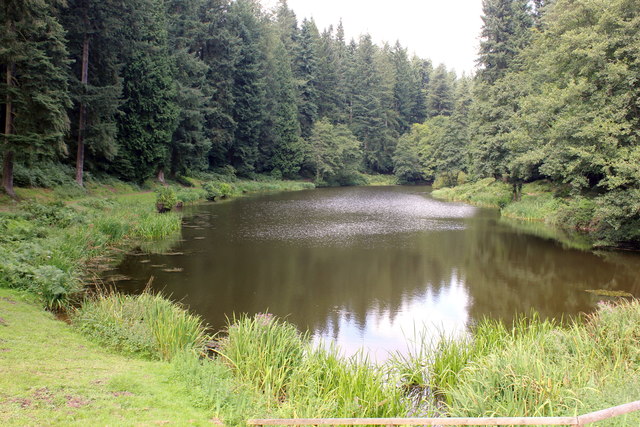
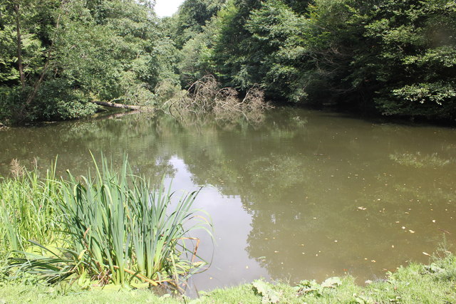
Soudley Ponds

Lying close to the village of Soudley in the Forest of Dean, west Gloucestershire, Soudley Ponds (grid reference SO662112), also known as Sutton Ponds...

Nearby Amenities

Located within 500m of 51.787842,-2.4833063
Bus Stop
Hyde Park Corner
Naptan AtcoCode: 1600GLA36721
Naptan Bearing: S
Naptan CommonName: Hyde Park Corner
Naptan NaptanCode: glogmjpd
Naptan Street: B4227
Naptan Verified: no
Source: naptan_import
Lat/Long: 51.7886142/-2.4882178
Bus Stop
Hyde Park Corner
Naptan AtcoCode: 1600GLA36722
Naptan Bearing: N
Naptan CommonName: Hyde Park Corner
Naptan NaptanCode: glogmjpg
Naptan Street: B4227
Naptan Verified: no
Source: naptan_import
Lat/Long: 51.7886409/-2.488305
Bus Stop
Bradley Cottage
Naptan AtcoCode: 1600GLA36727
Naptan Bearing: S
Naptan CommonName: Bradley Cottage
Naptan NaptanCode: glogmjpt
Naptan Street: B4227
Naptan Verified: no
Source: naptan_import
Lat/Long: 51.7856954/-2.4874034
Bus Stop
Bradley Cottage
Naptan AtcoCode: 1600GLA36728
Naptan Bearing: N
Naptan CommonName: Bradley Cottage
Naptan Indicator: Opp
Naptan NaptanCode: glogmjpw
Naptan Street: B4227
Naptan Verified: no
Source: naptan_import
Lat/Long: 51.7857309/-2.4875343
Post Box
Collection Times: Mo-Fr 09:00; Sa 07:00
Post Box Type: wall
Ref: GL14 130D
Royal Cypher: EVIIR
Royal Cypher Wikidata: Q33102324
Lat/Long: 51.7901002/-2.4871431
Design: triangle
Material: metal
Power: pole
Structure: lattice
Lat/Long: 51.7903589/-2.4799329
Design: triangle
Material: metal
Power: pole
Structure: lattice
Lat/Long: 51.7885837/-2.4804077
Design: triangle
Material: metal
Power: pole
Structure: lattice
Lat/Long: 51.7869643/-2.4804667
Design: triangle
Material: metal
Power: pole
Structure: lattice
Lat/Long: 51.7856519/-2.4805176
Design: triangle
Material: metal
Power: pole
Structure: lattice
Lat/Long: 51.7852188/-2.4805418
Design: triangle
Material: metal
Power: pole
Structure: lattice
Lat/Long: 51.7839445/-2.4815154
The data included in this document is from www.openstreetmap.org. The data is made available under ODbL.

Have you been to Fernbrake Hill?

Leave your review of Fernbrake Hill below (or comments, questions and feedback).