Glastonbury Wood
Wood, Forest in Gloucestershire Forest of Dean
England
Glastonbury Wood
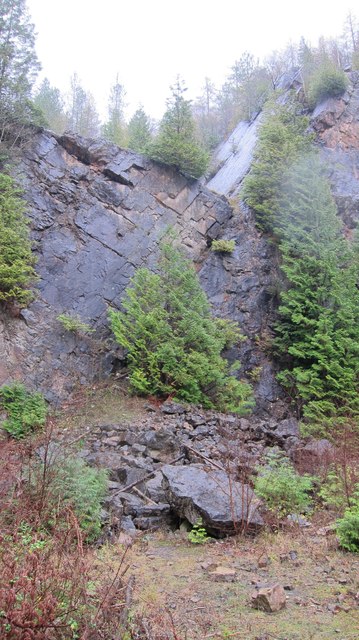
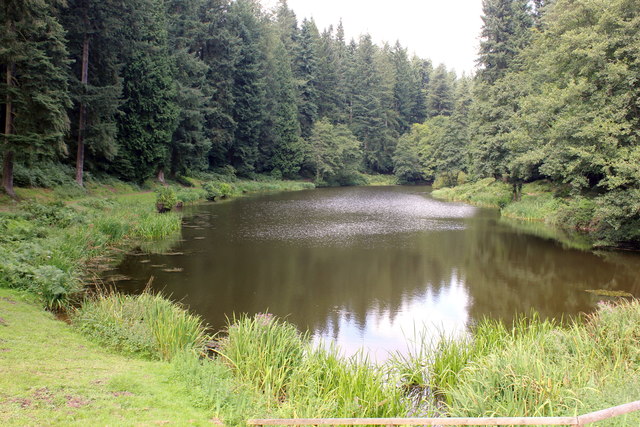
Glastonbury Wood is a picturesque forest located in the county of Gloucestershire, England. Encompassing an area of approximately 100 acres, this woodland is renowned for its natural beauty and diverse ecosystem. It is situated in the heart of the Cotswolds, a designated Area of Outstanding Natural Beauty.
The wood is primarily composed of deciduous trees, including oak, beech, ash, and birch, which create a rich and vibrant canopy during the spring and summer months. The forest floor is adorned with a myriad of wildflowers, such as bluebells, primroses, and foxgloves, adding a splash of color to the landscape.
Glastonbury Wood is home to a wide range of wildlife species, making it a haven for nature enthusiasts and birdwatchers. Red kites, buzzards, and sparrowhawks can often be spotted soaring above the treetops, while smaller birds like robins, tits, and finches flit amongst the branches. The forest also provides a habitat for mammals such as deer, badgers, and foxes.
The wood is crisscrossed by several footpaths and trails, making it an ideal location for walkers and hikers. These paths wind through the forest, offering visitors the opportunity to explore its hidden corners and enjoy the tranquility of nature. The wood is well-maintained and managed by local conservation organizations, ensuring the preservation of its natural beauty for future generations to enjoy.
Overall, Glastonbury Wood is a captivating and biodiverse forest that showcases the natural splendor of Gloucestershire. With its stunning flora and fauna, it offers a tranquil escape from the hustle and bustle of everyday life, inviting visitors to immerse themselves in the wonders of the natural world.
If you have any feedback on the listing, please let us know in the comments section below.
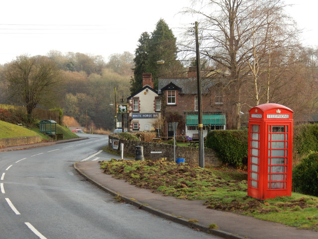
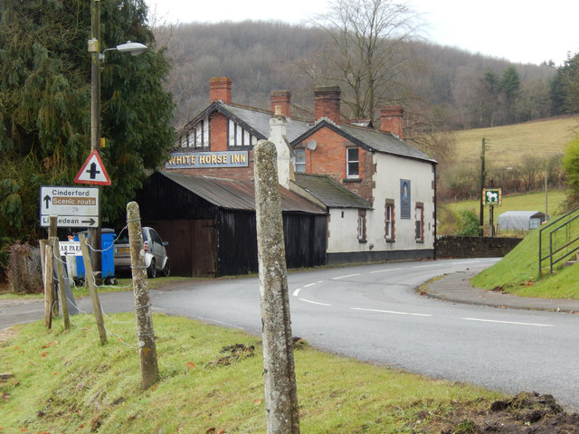
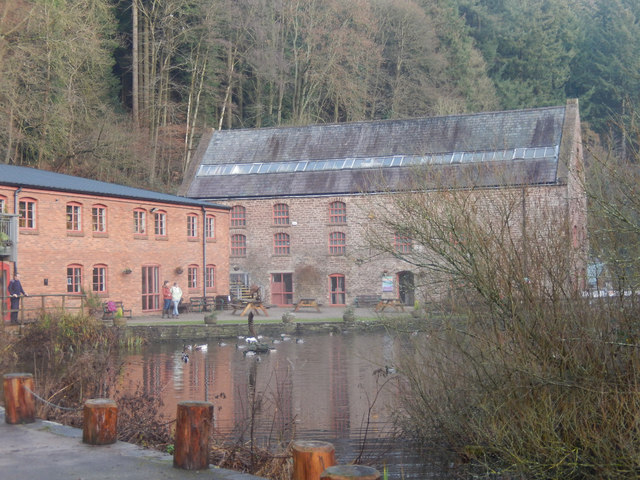
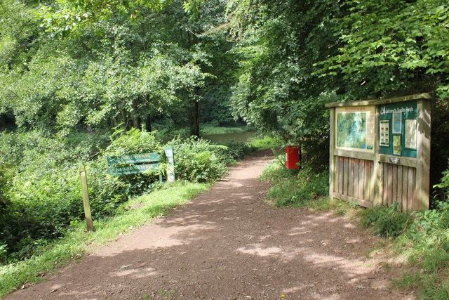
Glastonbury Wood Images
Images are sourced within 2km of 51.789418/-2.4849614 or Grid Reference SO6610. Thanks to Geograph Open Source API. All images are credited.

Glastonbury Wood is located at Grid Ref: SO6610 (Lat: 51.789418, Lng: -2.4849614)
Administrative County: Gloucestershire
District: Forest of Dean
Police Authority: Gloucestershire
What 3 Words
///dishes.scripted.protects. Near Cinderford, Gloucestershire
Nearby Locations
Related Wikis

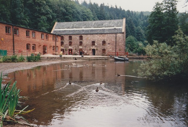
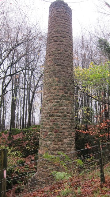
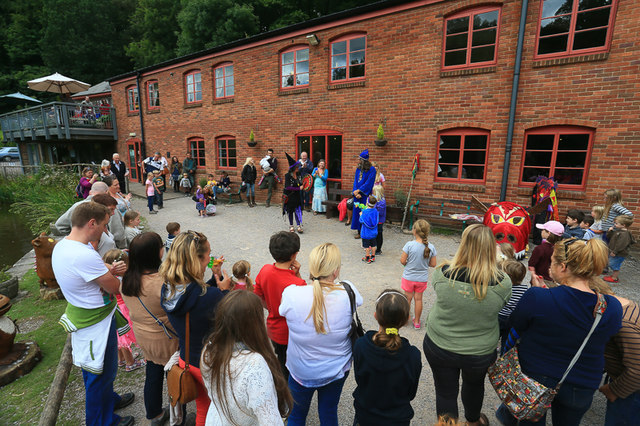
Dean Heritage Centre
The Dean Heritage Centre is located in the valley of Soudley, Gloucestershire, England in the Forest of Dean and exists to record and preserve the social...

Upper Soudley Halt railway station
Upper Soudley Halt railway station is a disused railway station that was opened by the Great Western Railway (GWR) on the former Bullo Pill Railway, later...

Soudley
Soudley, including Upper Soudley, is a village to the west of Cinderford, in the Forest of Dean, Gloucestershire, England. It joins with Ruspidge to form...

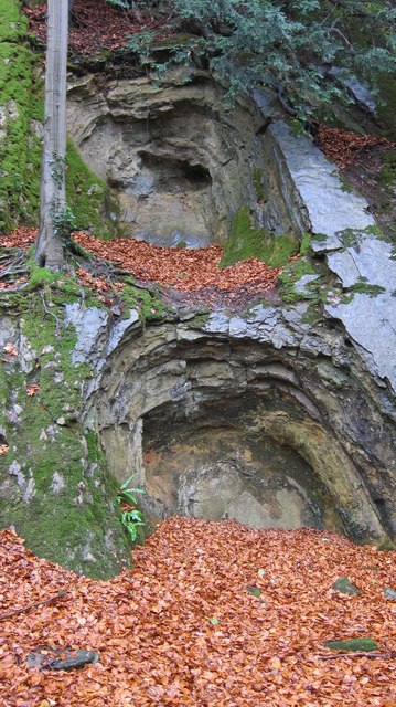
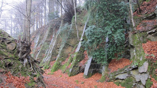
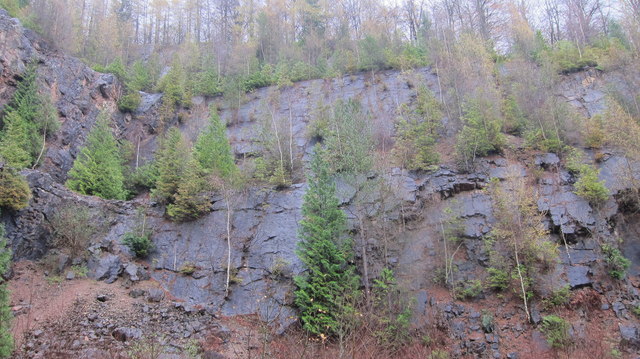
Soudley Ponds
Lying close to the village of Soudley in the Forest of Dean, west Gloucestershire, Soudley Ponds (grid reference SO662112), also known as Sutton Ponds...

Blaize Bailey
Blaize Bailey is a small hamlet and viewpoint on the eastern edge of the Forest of Dean, in Gloucestershire, England. The viewpoint was constructed using...
Bullo Cross Halt railway station
Bullo Cross Halt railway station is a disused railway station opened by the former Bullo Pill Railway, later known as the (Great Western Railway) Forest...

Eastern United Colliery
Eastern United Colliery was a drift mine in the Forest of Dean, Gloucestershire, England served by the Great Western Railway's Forest of Dean Branch. The...
Staple Edge Halt railway station
Staple Edge Halt railway station is a disused railway station opened by the Great Western Railway (GWR) on the former Bullo Pill Railway, later known as...
Related Videos

Royal Forest of Dean | Walking the Soudley Ponds trail
One of the best places to walk in England is the Forest of Dean. In this video we discover the Soudley Ponds trail. In the heart of ...

Womens refuge walking challenge. 56 Miles in Feb day 1
Soudley ponds 4 miles. day 1 52 miles to go.

THE KINGS HEALTHY WALK #PEACEONELOVE
JOIN US ON THIS HEALTHY WALK AROUND THE STEAM MILLS LAKE CINDERFORD. PEACE ONE LOVE PEEPS ENJOY THE ...

Royal Forest of Dean | Heritage Centre
Visit the Royal Forest of Dean | Heritage Centre, with us. As we discover the way life used to be, and how it has changed over the ...
Nearby Amenities
Located within 500m of 51.789418,-2.4849614Have you been to Glastonbury Wood?
Leave your review of Glastonbury Wood below (or comments, questions and feedback).