Edgehills Plantation

Wood, Forest in Gloucestershire Forest of Dean

England

Edgehills Plantation

Jubilee Road, Mitcheldean Looking north towards Plump Hill.
Jubilee Road, Mitcheldean Credit: Jonathan Billinger

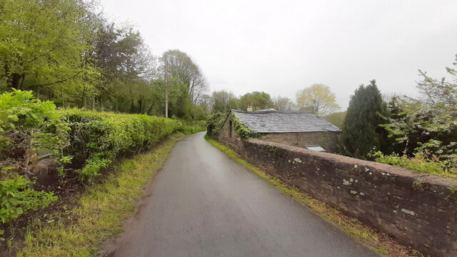
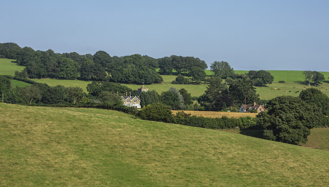
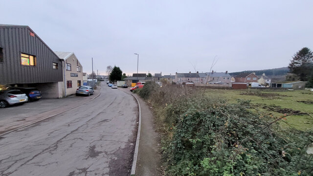
Edgehills Plantation is a sprawling woodland area located in Gloucestershire, England. Situated in the heart of the Forest of Dean, it covers an impressive expanse of approximately 200 hectares. The plantation is known for its diverse range of trees, including oak, beech, birch, and pine, which create a lush and vibrant landscape.

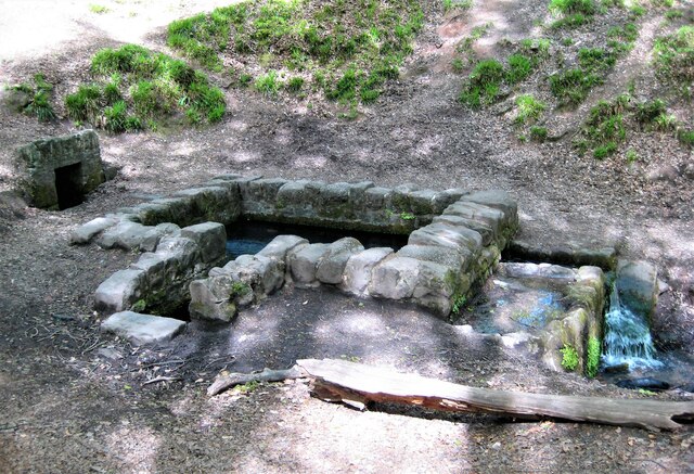
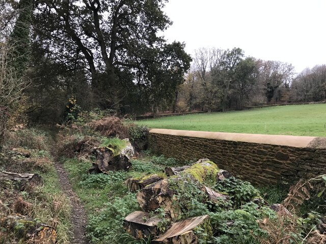
The terrain of Edgehills Plantation is varied, with undulating hills, valleys, and meandering streams adding to its natural beauty. The forest floor is carpeted with thick undergrowth, comprising ferns, mosses, and wildflowers, providing a haven for numerous wildlife species.

The plantation serves as a vital habitat for various flora and fauna. It is home to a variety of bird species, such as woodpeckers, nightingales, and buzzards, which can be heard chirping and soaring through the treetops. Additionally, mammals like foxes, badgers, and deer can often be spotted roaming the woodland.

Edgehills Plantation offers visitors a range of recreational activities. There are well-maintained walking trails that meander through the forest, allowing visitors to immerse themselves in the natural surroundings. The plantation also provides opportunities for cycling, horseback riding, and picnicking in designated areas.

The conservation of Edgehills Plantation is of utmost importance, and there are ongoing efforts to protect and preserve its natural ecosystem. Local authorities collaborate with environmental organizations to ensure sustainable practices and maintain the plantation's biodiversity.

Overall, Edgehills Plantation is a picturesque and ecologically significant woodland area, offering visitors a chance to connect with nature and explore the wonders of the Forest of Dean.

If you have any feedback on the listing, please let us know in the comments section below.

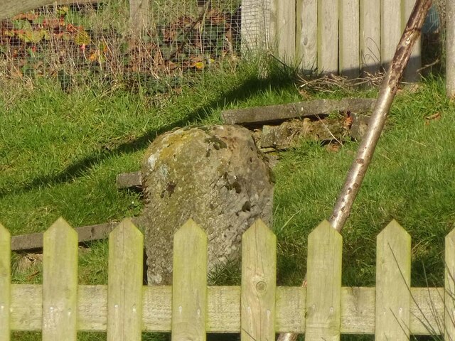
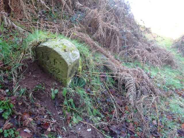
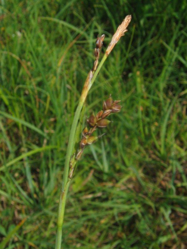
Edgehills Plantation Images

Images are sourced within 2km of 51.839424/-2.4854262 or Grid Reference SO6615. Thanks to Geograph Open Source API. All images are credited.

Jubilee Road, Mitcheldean Looking north towards Plump Hill.
Jubilee Road, Mitcheldean
Looking north towards Plump Hill.
View towards Abenhall Looking east from Jubilee Road with the tower of Abenhall church visible in the late afternoon sunshine.
View towards Abenhall
Looking east from Jubilee Road with the tower of Abenhall church visible in the late afternoon sunshine.
St Anthony's Well Image of the historic well in woodland North-west of Flaxley.
St Anthony's Well
Image of the historic well in woodland North-west of Flaxley.
Overgrown pathway
Overgrown pathway
Repaired wall
Repaired wall
Newtown Road, Steam Mills Post-industrial landscape.
Newtown Road, Steam Mills
Post-industrial landscape.
Machinery in the woods Various pieces of equipment litter the woodland at the end of Jubilee Lane.
Machinery in the woods
Various pieces of equipment litter the woodland at the end of Jubilee Lane.
Old Boundary Stone, Littledean Hill In the private garden of "Oak Ridge" in the Ruffitt. An original 1832 Forest of Dean boundary marker. 

Inscription: D.F / 1832 / Nᴼ. 209

Milestone Society National ID: GL_DFCINLIT209em
Old Boundary Stone, Littledean Hill
In the private garden of "Oak Ridge" in the Ruffitt. An original 1832 Forest of Dean boundary marker. Inscription: D.F / 1832 / Nᴼ. 209 Milestone Society National ID: GL_DFCINLIT209em
Boundary Stone, Cinderford On the corner of Littledean Hill Road, and the chamfered corner of the former Royal Forrester pub. Technically on private land but effectively just off the road.
The context view of the ex pub is <a href="https://www.geograph.org.uk/photo/4430088">SO6614 : Former Royal Forester, Cinderford</a>

Inscription: D.F / 2008 / Nᴼ. 211

Milestone Society National ID: GL_DFCINLIT211em
Boundary Stone, Cinderford
On the corner of Littledean Hill Road, and the chamfered corner of the former Royal Forrester pub. Technically on private land but effectively just off the road. The context view of the ex pub is SO6614 : Former Royal Forester, Cinderford Inscription: D.F / 2008 / Nᴼ. 211 Milestone Society National ID: GL_DFCINLIT211em
Boundary Stone, Cinderford In the High Street where the line of the row of shops kinks, near the pedestrian crossing.

Inscription: D.F / 2010 / Nᴼ. 213

Milestone Society National ID: GL_DFCIND213em
Boundary Stone, Cinderford
In the High Street where the line of the row of shops kinks, near the pedestrian crossing. Inscription: D.F / 2010 / Nᴼ. 213 Milestone Society National ID: GL_DFCIND213em
Boundary Stone, Littledean Hill On the Southern side of the road (the Ruffitt) in the driveway of "Stone Cottage".

Inscription: D.F / 2015 / Nᴼ. 210

Milestone Society National ID: GL_DFCINLIT210em
Boundary Stone, Littledean Hill
On the Southern side of the road (the Ruffitt) in the driveway of "Stone Cottage". Inscription: D.F / 2015 / Nᴼ. 210 Milestone Society National ID: GL_DFCINLIT210em
Boundary Stone, Cinderford On the corner of Edge Hills Road and Causeway Road. Just to confuse, the houses above are addressed as being in Wedgewood Crescent. Including 9 and 10, clearly in Edge Hills Road.

Inscription: D.F. / 2011 / Nᴼ. 212

Milestone Society National ID: GL_DFCIND212em
Boundary Stone, Cinderford
On the corner of Edge Hills Road and Causeway Road. Just to confuse, the houses above are addressed as being in Wedgewood Crescent. Including 9 and 10, clearly in Edge Hills Road. Inscription: D.F. / 2011 / Nᴼ. 212 Milestone Society National ID: GL_DFCIND212em
Commemorative Plate, Cinderford On the wall of an empty shop at the junction of High Street and Wesley Road. An older image showing the plaque when the shop was a greengocer's is <a href="https://www.geograph.org.uk/photo/728722">SO6514 : Traditional greengrocer, High Street, Cinderford</a>.
E.Stafford Howard was MP for Thornbury 1885/6. Served as Under-Secretary of State for India under William Ewart Gladstone. Later Senior Commissioner of HM's Woods and Forests.

Inscription:
V (crown) R
This road for the distance
of 670 ↢ yards was made
at the expense of the crown
for the benefit of the
inhabitants and district
1897 - 8
E.Stafford Howard Esq
Commissioner
Philip Baylis Esq
Dep Surveyor

Milestone Society National ID: GL_CIND06cm
Commemorative Plate, Cinderford
On the wall of an empty shop at the junction of High Street and Wesley Road. An older image showing the plaque when the shop was a greengocer's is SO6514 : Traditional greengrocer, High Street, Cinderford. E.Stafford Howard was MP for Thornbury 1885/6. Served as Under-Secretary of State for India under William Ewart Gladstone. Later Senior Commissioner of HM's Woods and Forests. Inscription: V (crown) R This road for the distance of 670 ↢ yards was made at the expense of the crown for the benefit of the inhabitants and district 1897 - 8 E.Stafford Howard Esq Commissioner Philip Baylis Esq Dep Surveyor Milestone Society National ID: GL_CIND06cm
Pike House, George Road, Littledean Former Toll House opposite Greenway. Used by the Forest of Dean Turnpike Trust in the 19th Century. See on the map of GB (UK) Toll houses <span class="nowrap"><a title="http://gbth.mister.red/#13/51.828/-2.47859" rel="nofollow ugc noopener" href="http://gbth.mister.red/#13/51.828/-2.47859">Link</a><img style="margin-left:2px;" alt="External link" title="External link - shift click to open in new window" src="https://s1.geograph.org.uk/img/external.png" width="10" height="10"/></span>

Milestone Society National ID: GL.LIT01
Pike House, George Road, Littledean
Former Toll House opposite Greenway. Used by the Forest of Dean Turnpike Trust in the 19th Century. See on the map of GB (UK) Toll houses LinkExternal link Milestone Society National ID: GL.LIT01
Boundary Stone, Shapridge An original Forest of Dean boundary stone in the garden of a modern house near Abinghall and Mitcheldean.

Inscription: D. F. / 1832 / Nᴼ. 194

Milestone Society National ID: GL_DFLIMI194em
Boundary Stone, Shapridge
An original Forest of Dean boundary stone in the garden of a modern house near Abinghall and Mitcheldean. Inscription: D. F. / 1832 / Nᴼ. 194 Milestone Society National ID: GL_DFLIMI194em
Boundary Stone, Shapridge Slowly descending the slope beside Gloucestershire footpath DMD35, just North of a gate. The slope is subsiding gently East.

Inscription: D. F. / 1832 / Nᴼ. 193

Milestone Society National ID: GL_DFLIMI193em
Boundary Stone, Shapridge
Slowly descending the slope beside Gloucestershire footpath DMD35, just North of a gate. The slope is subsiding gently East. Inscription: D. F. / 1832 / Nᴼ. 193 Milestone Society National ID: GL_DFLIMI193em
Boundary Stone, Shapridge A Forest of Dean boundary stone at the left hand end of a bridge parapet on the NE verge of the road. The coping stones of the parapet are at 91.2 m Above Sea Level.

Inscription: D. F. / 2009 / Nᴼ. 192

Milestone Society National ID: GL_DFLIMI192em
Boundary Stone, Shapridge
A Forest of Dean boundary stone at the left hand end of a bridge parapet on the NE verge of the road. The coping stones of the parapet are at 91.2 m Above Sea Level. Inscription: D. F. / 2009 / Nᴼ. 192 Milestone Society National ID: GL_DFLIMI192em
Boundary Stone, Horsepool Bottom A Forest of Dean boundary stone in a field adjacent to Jubilee Road 1km South of Mitcheldean.

Inscription: D. F / 1832 / Nᴼ. 189

Milestone Society National ID: GL_DFMITC189em
Boundary Stone, Horsepool Bottom
A Forest of Dean boundary stone in a field adjacent to Jubilee Road 1km South of Mitcheldean. Inscription: D. F / 1832 / Nᴼ. 189 Milestone Society National ID: GL_DFMITC189em
Show me another place!

Edgehills Plantation is located at Grid Ref: SO6615 (Lat: 51.839424, Lng: -2.4854262)

Administrative County: Gloucestershire

District: Forest of Dean

Police Authority: Gloucestershire

What 3 Words

///churn.erase.decimals. Near Cinderford, Gloucestershire

Nearby Locations

Edgehills Plantation

Related Wikis

Edgehills Bog

Edgehills Bog (grid reference SO660154) is a 0.66-hectare (1.6-acre) nature reserve in Gloucestershire in the Forest of Dean.The site is managed by the...

Gun's Mills, Flaxley

Gun's Mills, at Flaxley, in the Forest of Dean, Gloucestershire, England, was a major industrial site from the 17th century. Originally built as an armaments...

Westbury Brook Ironstone Mine

Westbury Brook Ironstone Mine (grid reference SO662166) is a 15.69-hectare (38.8-acre) biological Site of Special Scientific Interest in Gloucestershire...

Welshbury Hill

Welshbury Hill is an Iron Age hill fort near Mitcheldean in Gloucestershire, England. It is thought to have been built by Celts and dates back to 1600...

Nearby Amenities

Located within 500m of 51.839424,-2.4854262
Saint Anthony's Well
Natural: spring
Source: OS_OpenData_StreetView
Wikidata: Q26586592
Lat/Long: 51.8394073/-2.4801859
Man Made: mast
Lat/Long: 51.8396362/-2.4905025
Man Made: mast
Lat/Long: 51.8407027/-2.4910636
Man Made: mast
Lat/Long: 51.8410875/-2.4920399
Man Made: mast
Lat/Long: 51.8400067/-2.4915142
Power: pole
Source: Bing
Lat/Long: 51.8372248/-2.4867704
Power: pole
Source: Bing
Lat/Long: 51.8363862/-2.487838
Power: pole
Source: Bing
Lat/Long: 51.8408128/-2.4888545
Power: pole
Source: Bing
Lat/Long: 51.83808/-2.4857029
Power: pole
Source: Bing
Lat/Long: 51.8396759/-2.4865264
The data included in this document is from www.openstreetmap.org. The data is made available under ODbL.

Have you been to Edgehills Plantation?

Leave your review of Edgehills Plantation below (or comments, questions and feedback).