Foundry Wood
Wood, Forest in Gloucestershire Forest of Dean
England
Foundry Wood
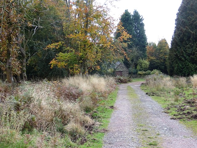
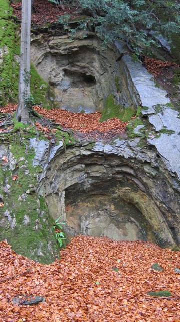
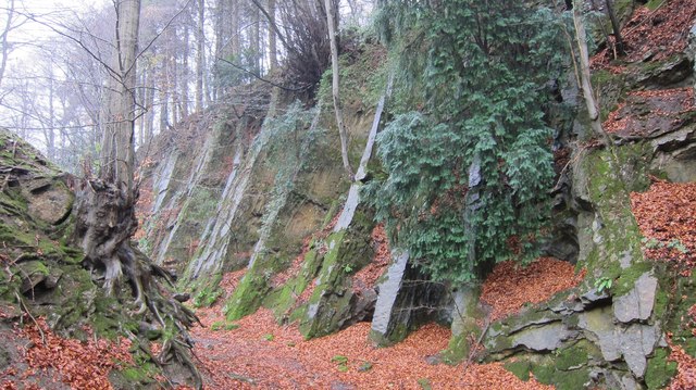
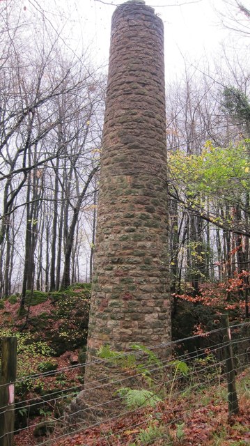
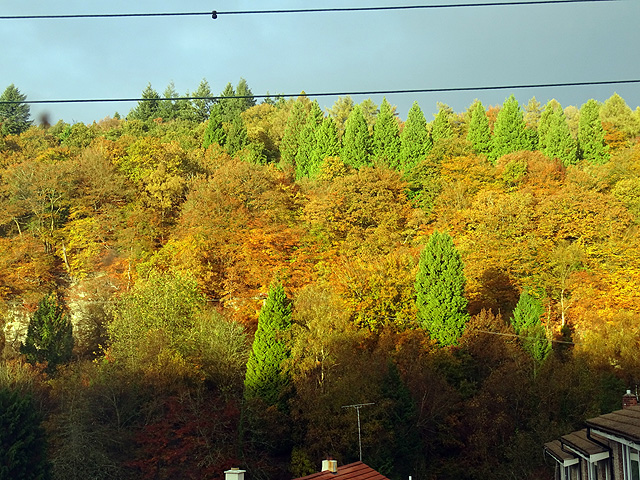
Foundry Wood is a picturesque woodland located in Gloucestershire, England. Covering an area of approximately 10 acres, this beautiful forest is a popular destination for nature lovers and outdoor enthusiasts. The wood is named after the nearby foundry, which used to operate in the area during the 19th century.
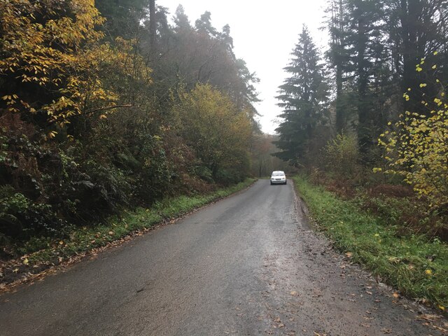
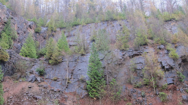
Foundry Wood is characterized by its diverse range of trees and vegetation, including oak, beech, and birch. The forest floor is covered in a lush carpet of ferns, bluebells, and wildflowers, creating a vibrant and enchanting atmosphere. Visitors can explore the wood through a network of well-maintained footpaths, which wind through the trees and provide access to various points of interest.
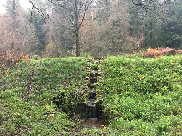
One of the highlights of Foundry Wood is its tranquil pond, which is home to a variety of aquatic plants and wildlife. The pond attracts numerous bird species, making it a popular spot for birdwatching. Visitors can also enjoy a picnic by the water's edge or simply relax and take in the serene surroundings.
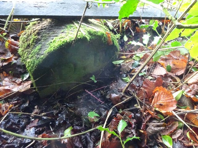
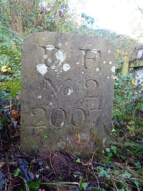
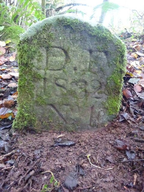
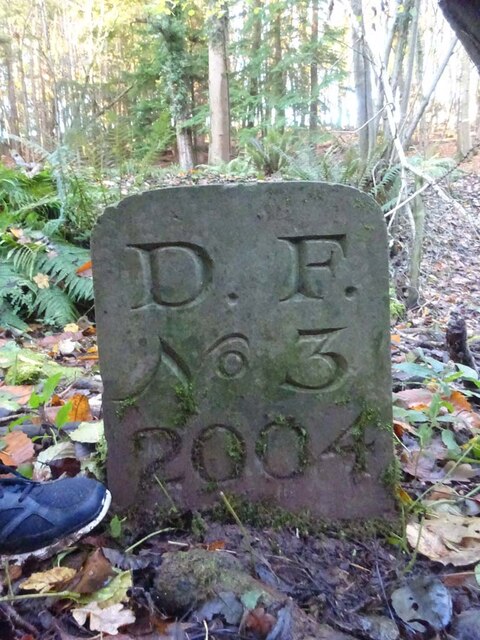
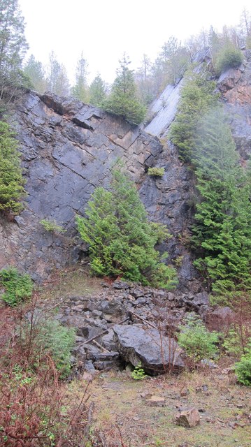
Foundry Wood is not only a haven for flora and fauna but also a place of historical significance. The remains of the old foundry can still be seen within the wood, serving as a reminder of the area's industrial past. Interpretive signs and information boards provide visitors with insights into the history and ecology of the site.
Overall, Foundry Wood offers a peaceful and idyllic setting for nature enthusiasts, providing a unique opportunity to connect with the natural world and immerse oneself in the beauty of Gloucestershire's woodlands.
If you have any feedback on the listing, please let us know in the comments section below.
Foundry Wood Images
Images are sourced within 2km of 51.794757/-2.4874692 or Grid Reference SO6610. Thanks to Geograph Open Source API. All images are credited.
Foundry Wood is located at Grid Ref: SO6610 (Lat: 51.794757, Lng: -2.4874692)
Administrative County: Gloucestershire
District: Forest of Dean
Police Authority: Gloucestershire
What 3 Words
///screaming.organ.trams. Near Cinderford, Gloucestershire
Nearby Locations
Related Wikis

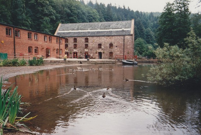
Dean Heritage Centre
The Dean Heritage Centre is located in the valley of Soudley, Gloucestershire, England in the Forest of Dean and exists to record and preserve the social...

Soudley Ponds
Lying close to the village of Soudley in the Forest of Dean, west Gloucestershire, Soudley Ponds (grid reference SO662112), also known as Sutton Ponds...

Upper Soudley Halt railway station
Upper Soudley Halt railway station is a disused railway station that was opened by the Great Western Railway (GWR) on the former Bullo Pill Railway, later...

Soudley
Soudley, including Upper Soudley, is a village to the west of Cinderford, in the civil parish of Ruspidge and Soudley, in the Forest of Dean district,...
Nearby Amenities
Located within 500m of 51.794757,-2.4874692Have you been to Foundry Wood?
Leave your review of Foundry Wood below (or comments, questions and feedback).