Beatrix Wood
Wood, Forest in Yorkshire Ribble Valley
England
Beatrix Wood
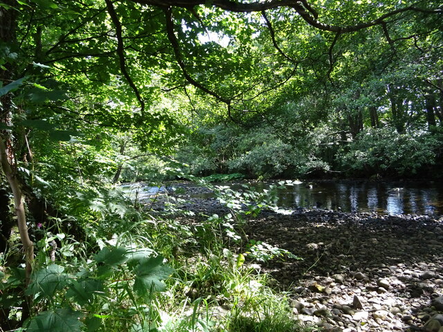
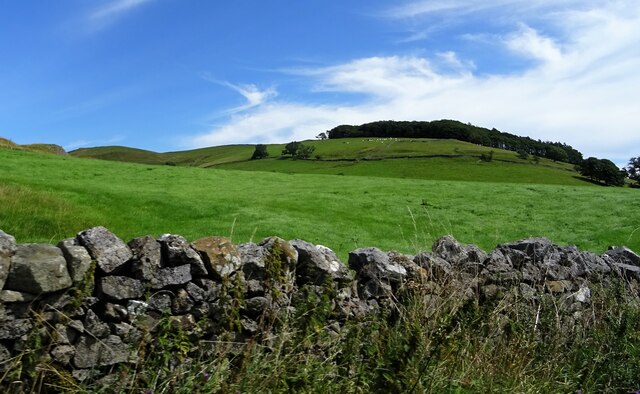
Beatrix Wood, located in Yorkshire, England, is a picturesque forest that covers an area of approximately 200 acres. The woodland is renowned for its natural beauty and biodiversity, making it a popular destination for nature enthusiasts and outdoor adventurers.
The forest is primarily composed of native tree species, including oak, beech, and birch, creating a dense canopy that provides a sheltered habitat for a wide range of wildlife. Beatrix Wood is home to various species of birds, such as woodpeckers, owls, and songbirds, which can be heard throughout the woodland.
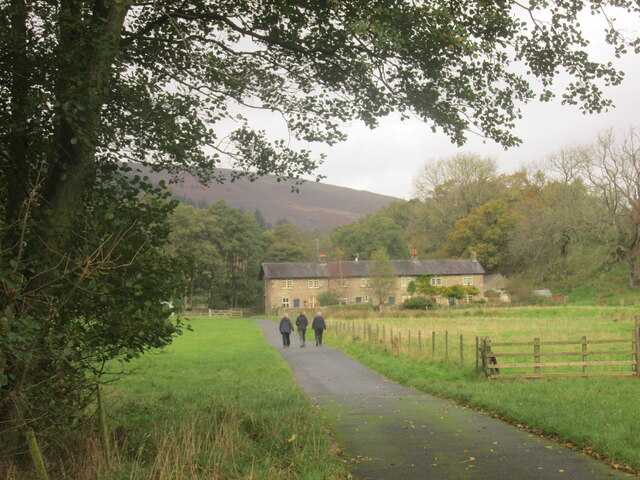
Visitors to Beatrix Wood can explore the forest through a network of well-maintained footpaths and trails, allowing for leisurely walks and hikes. These paths wind through the forest, offering stunning views of the surrounding landscape and opportunities to spot wildlife along the way.
In addition to its natural beauty, Beatrix Wood also has historical significance. The forest has a rich cultural heritage, with evidence of human activity dating back centuries. Ancient ruins and archaeological sites can be found within the woodland, providing insights into the past inhabitants of the area.
The management of Beatrix Wood is overseen by a dedicated team of conservationists who strive to maintain and enhance the forest's ecological balance. They work to protect the native flora and fauna, while also ensuring that the woodland remains accessible and enjoyable for visitors.
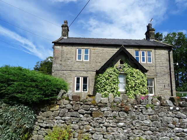
Overall, Beatrix Wood is a hidden gem in Yorkshire, offering a tranquil escape into nature with its diverse wildlife, scenic trails, and historical landmarks.
If you have any feedback on the listing, please let us know in the comments section below.
Beatrix Wood Images
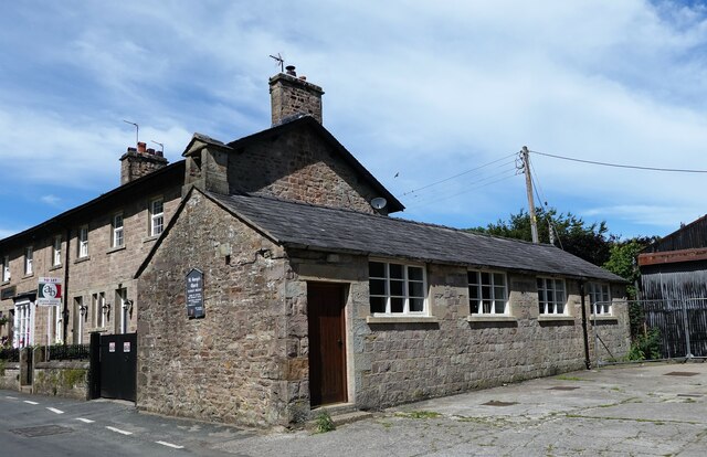
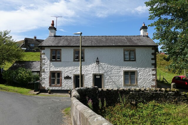
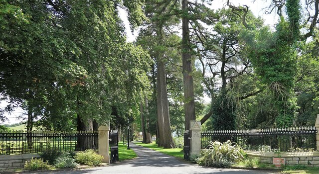
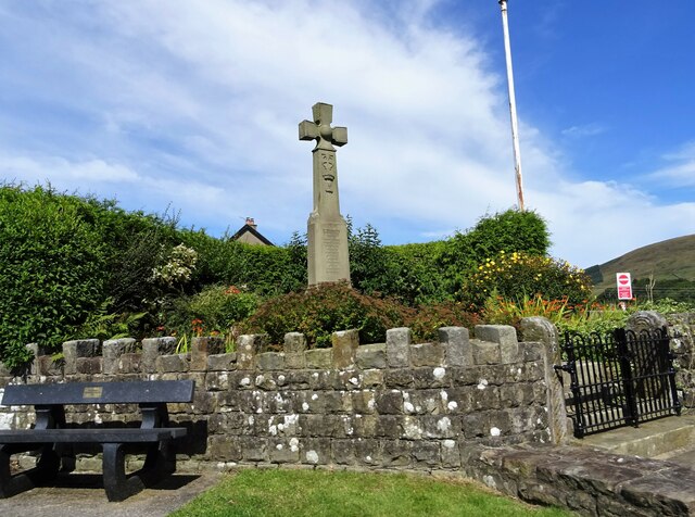
Images are sourced within 2km of 53.959599/-2.5123493 or Grid Reference SD6651. Thanks to Geograph Open Source API. All images are credited.


Beatrix Wood is located at Grid Ref: SD6651 (Lat: 53.959599, Lng: -2.5123493)
Division: West Riding
Administrative County: Lancashire
District: Ribble Valley
Police Authority: Lancashire
What 3 Words
///opposite.hobbyists.faces. Near Waddington, Lancashire
Nearby Locations
Related Wikis

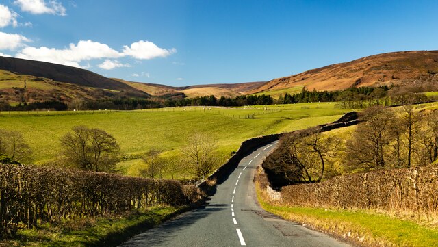
Bowland Forest High
Bowland Forest High is a civil parish in the Ribble Valley district of Lancashire, England, covering some 20,000 acres (80 km2) of the Forest of Bowland...

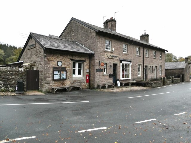
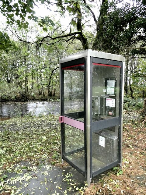
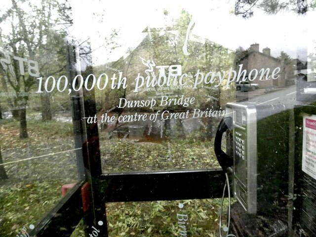
Dunsop Bridge
Dunsop Bridge is a village in the civil parish of Bowland Forest High, in the borough of Ribble Valley, Lancashire, England, 9 miles (14 km) north-west...

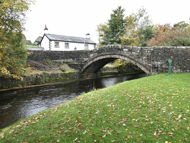
Dunsop Bridge (structure)
Dunsop Bridge is a bridge in the English village of the same name. The structure, which dates to the early 19th century, crosses the River Dunsop. A Grade...

River Dunsop
The River Dunsop is a river in the Forest of Bowland in Northern England. It flows into the River Hodder at Dunsop Bridge.It begins at the confluence of...
Nearby Amenities
Located within 500m of 53.959599,-2.5123493Have you been to Beatrix Wood?
Leave your review of Beatrix Wood below (or comments, questions and feedback).