Hunt Hill

Hill, Mountain in Roxburghshire

Scotland

Hunt Hill

Field edge view from Howden Triangulation Pillar Looking south-westward.
Field edge view from Howden Triangulation Pillar Credit: Peter Wood

Hunt Hill is a prominent hill located in Roxburghshire, a historic county in the Scottish Borders region of Scotland. Rising to an elevation of 362 meters (1,188 feet), it is a notable landmark in the area, offering stunning views of the surrounding countryside.

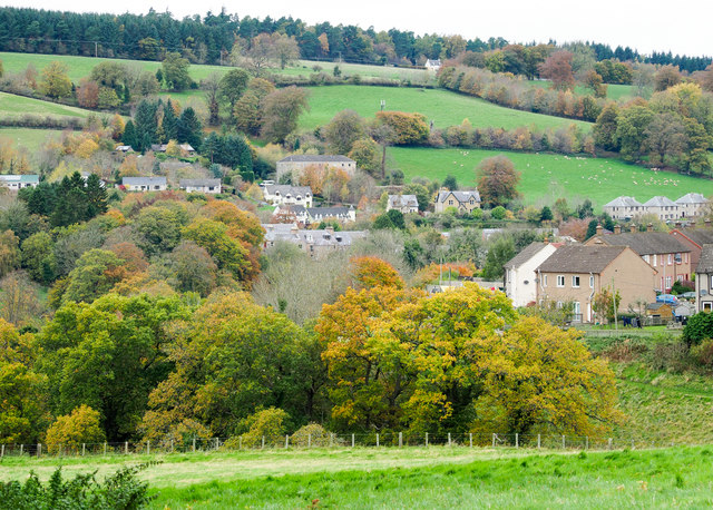
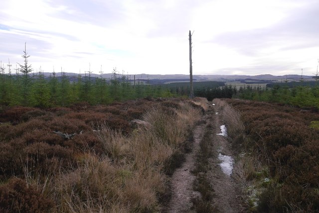
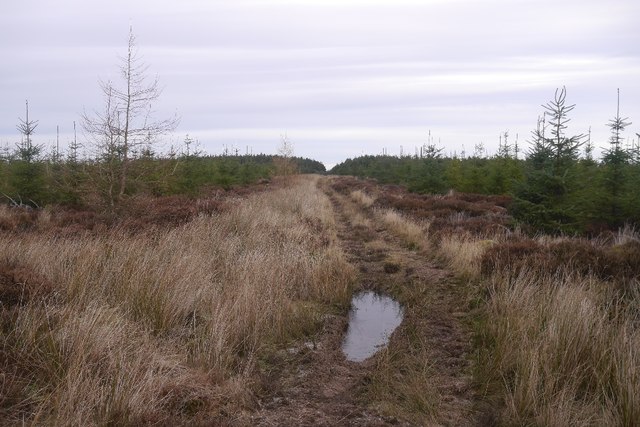
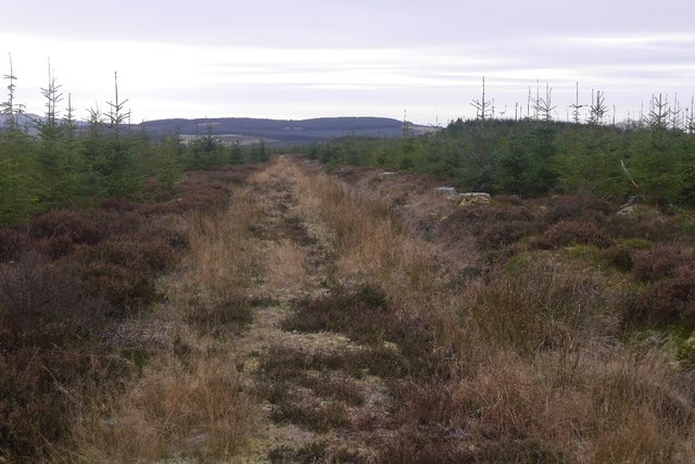
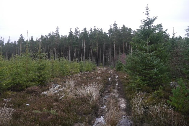
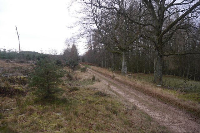
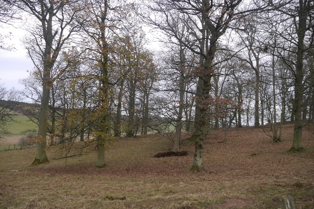
Situated near the village of Roxburgh, Hunt Hill is a popular destination for hikers and nature enthusiasts. The hill is characterized by its gently sloping sides and a distinct rocky summit, providing an ideal setting for outdoor activities such as hillwalking and birdwatching.

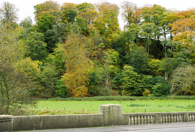
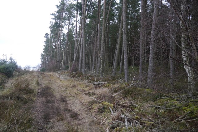
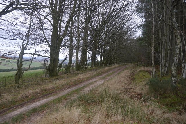
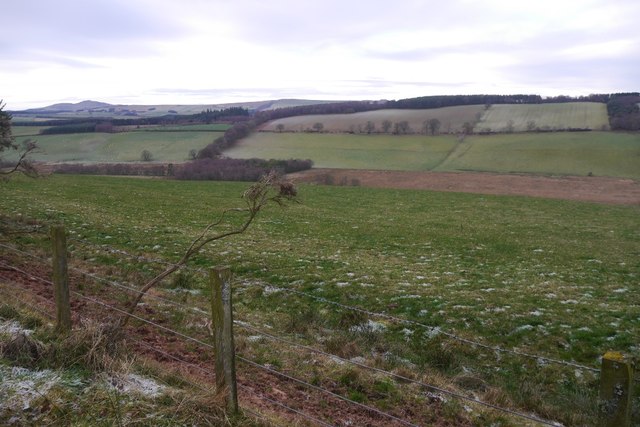
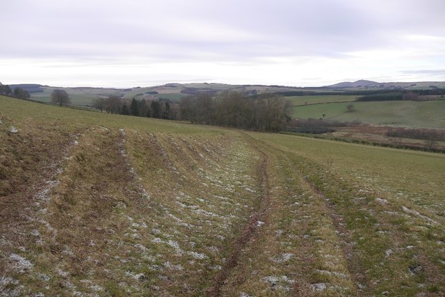
The surrounding landscape is a mix of rolling farmland, dense woodlands, and scattered residential areas. From the top of Hunt Hill, visitors can enjoy panoramic vistas of the picturesque Teviot Valley and the Cheviot Hills in the distance. On clear days, it is even possible to spot the Eildon Hills and the River Tweed winding through the valley.

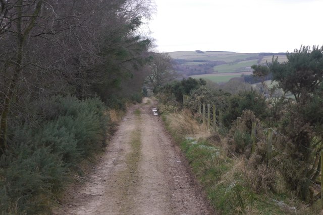
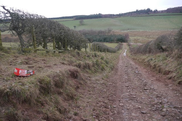
The hill is accessible via several well-marked trails, which cater to different levels of fitness and experience. The most popular route starts from Roxburgh village and takes approximately 1-2 hours to complete, depending on one's pace. Along the way, walkers can encounter a variety of wildlife species, including red grouse, buzzards, and roe deer.

Hunt Hill is a beloved natural landmark in Roxburghshire, offering locals and visitors alike an opportunity to immerse themselves in the beauty of the Scottish Borders countryside. Its accessibility, scenic views, and diverse flora and fauna make it an ideal spot for outdoor enthusiasts seeking a taste of Scotland's natural wonders.

If you have any feedback on the listing, please let us know in the comments section below.
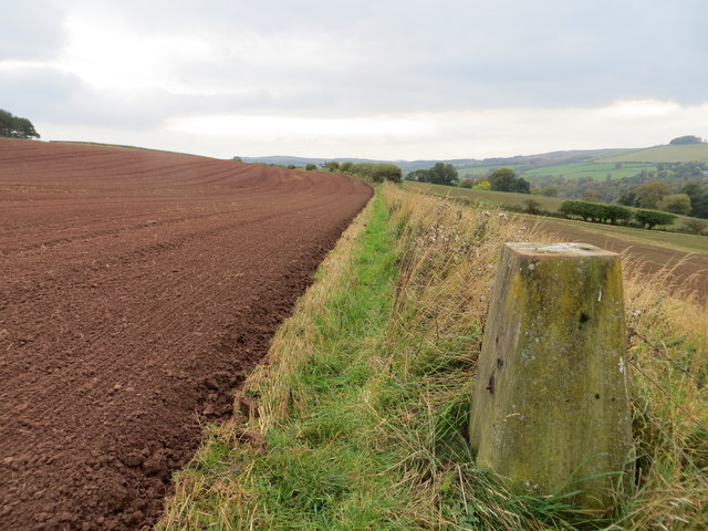
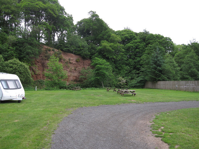
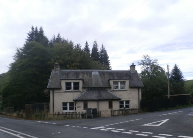
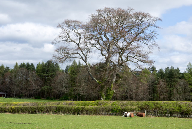
Hunt Hill Images

Images are sourced within 2km of 55.455005/-2.527183 or Grid Reference NT6618. Thanks to Geograph Open Source API. All images are credited.

Field edge view from Howden Triangulation Pillar Looking south-westward.
Field edge view from Howden Triangulation Pillar
Looking south-westward.
River cliff by Jed Water From Jed Water Caravan Park.
River cliff by Jed Water
From Jed Water Caravan Park.
Linthaugh Cottage
Linthaugh Cottage
Hedges and oil drums The A68 runs between the two hedge lines. The oil drums appear to be part of a jump for horses - there are other similar things in the field.
Hedges and oil drums
The A68 runs between the two hedge lines. The oil drums appear to be part of a jump for horses - there are other similar things in the field.
Autumnal trees at edge of Howdenburn Glen The Howden Burn (of the Howdenburn Glen) is a minor stream entering the Jed Water to the south of Jedburgh. The houses beyond are of course in the town.
Autumnal trees at edge of Howdenburn Glen
The Howden Burn (of the Howdenburn Glen) is a minor stream entering the Jed Water to the south of Jedburgh. The houses beyond are of course in the town.
Deciduous woodland on slope beyond Hundalee Bridge The trees are on a steep slope with exposed rock. One of the parapets of Hundalee Bridge is in the foreground.
Deciduous woodland on slope beyond Hundalee Bridge
The trees are on a steep slope with exposed rock. One of the parapets of Hundalee Bridge is in the foreground.
Path, Birkenside A good, well used path through young trees.  The mapped path network no longer exists.
Path, Birkenside
A good, well used path through young trees. The mapped path network no longer exists.
Path, Birkenside Running along the ridge line.  The path network shown by the Ordnance Survey is from before the felling of most of the woodland. The new plantings have a different set of tracks.
Path, Birkenside
Running along the ridge line. The path network shown by the Ordnance Survey is from before the felling of most of the woodland. The new plantings have a different set of tracks.
Path, Birkenside Amongst young trees.  Many of the mapped paths have gone since replanting.
Path, Birkenside
Amongst young trees. Many of the mapped paths have gone since replanting.
Birkenside Path towards some surviving older trees.  The path network here is very different to that shown by the Ordnance Survey.
Birkenside
Path towards some surviving older trees. The path network here is very different to that shown by the Ordnance Survey.
Path, Birkenside One of the paths which coincide with the mapped network which has largely disappeared.
Path, Birkenside
One of the paths which coincide with the mapped network which has largely disappeared.
Mossburnford to Oxnam road A well surfaced forest road on this section.
Mossburnford to Oxnam road
A well surfaced forest road on this section.
Oxnam to Mossburnford road Running along the edge of Birkenshaw woodlands.  The paths shown by the OS into the woods west of here no longer exist, but this road is a good one all the way through to Mossburnford.
Oxnam to Mossburnford road
Running along the edge of Birkenshaw woodlands. The paths shown by the OS into the woods west of here no longer exist, but this road is a good one all the way through to Mossburnford.
View towards Fendyhall Moss
Oxnam to Mossburnford road A well surfaced road which has one grassy section just west of here.  Paths shown heading south from this road in NT6717 no longer exist.
Oxnam to Mossburnford road
A well surfaced road which has one grassy section just west of here. Paths shown heading south from this road in NT6717 no longer exist.
Oxnam to Mossburnford road A descent through a field links up two stone/mud surfaced roads.  All very pleasant in frosty conditions.
Oxnam to Mossburnford road
A descent through a field links up two stone/mud surfaced roads. All very pleasant in frosty conditions.
Peel Clumps A circular oak wood surrounded by an earth wall.
Peel Clumps
A circular oak wood surrounded by an earth wall.
Oxnam to Mossburnford road A steep section, used as a field access route.
Oxnam to Mossburnford road
A steep section, used as a field access route.
Show me another place!

Hunt Hill is located at Grid Ref: NT6618 (Lat: 55.455005, Lng: -2.527183)

Unitary Authority: The Scottish Borders

Police Authority: The Lothians and Scottish Borders

What 3 Words

///fuses.shares.slurs. Near Jedburgh, Scottish Borders

Nearby Locations

Hunt Hill Jock's Wood

Related Wikis

Ferniehirst Castle

Ferniehirst Castle (sometimes spelled Ferniehurst) is an L-shaped construction on the east bank of the Jed Water, about a mile and a half south of Jedburgh...

Capon Oak Tree

The Capon Oak Tree is one of the last surviving trees of the ancient Scottish Jedforest. It is close to the A68 and Jed Water, a small river which has...

Jedforest

Jedforest is an historic forest in the Scottish Borders, that has been heavily wooded in the past. It is close to Jed Water and the town of Jedburgh, from...

Bairnkine

Bairnkine is a hamlet on the Jed Water in the Scottish Borders area of Scotland, on the A68, south of Jedburgh. Other places nearby include Abbotrule,...

Nearby Amenities

Located within 500m of 55.455005,-2.527183
Natural: peak
Lat/Long: 55.4570351/-2.5287002
The data included in this document is from www.openstreetmap.org. The data is made available under ODbL.

Have you been to Hunt Hill?

Leave your review of Hunt Hill below (or comments, questions and feedback).