Welton Hill
Hill, Mountain in Somerset
England
Welton Hill
Welton Hill is a prominent geographical feature located in Somerset, England. It is situated near the village of Welton, approximately 3 miles northwest of the town of Radstock. Although referred to as a hill, Welton Hill is often regarded as more of a small mountain due to its considerable elevation and distinctive appearance.
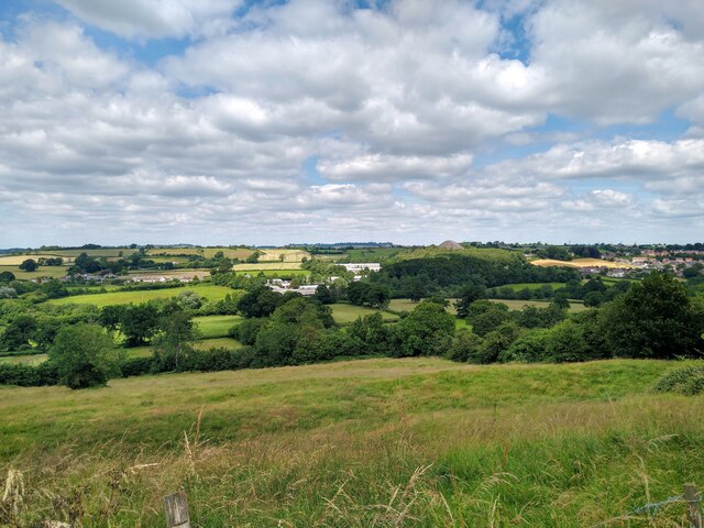
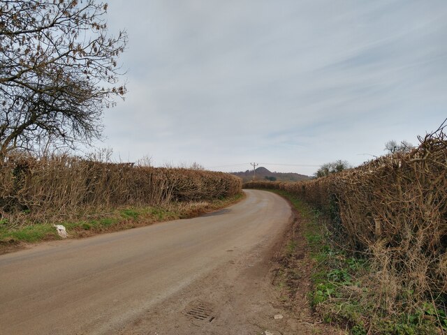
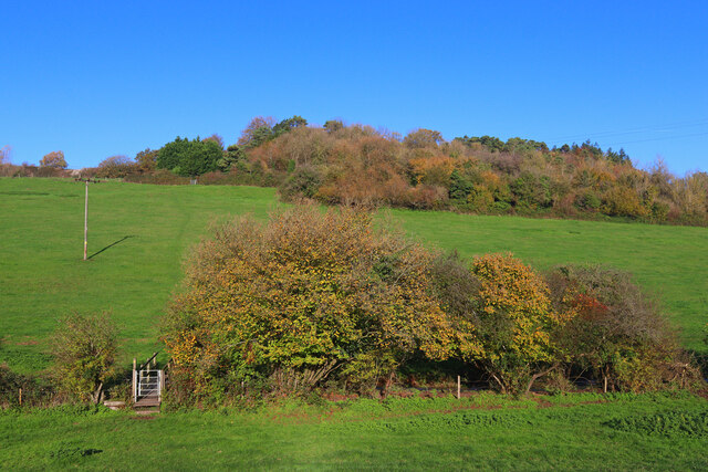
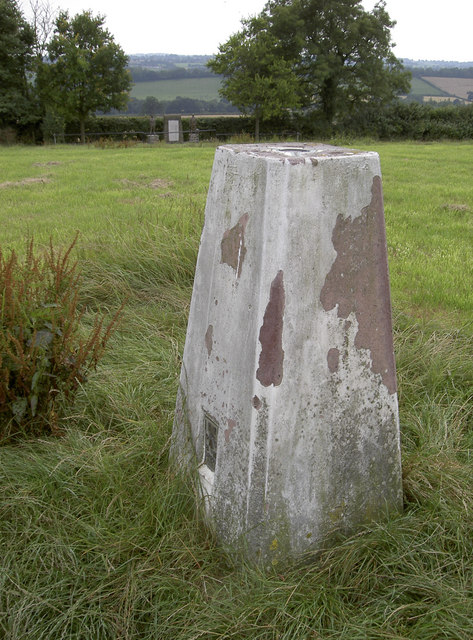
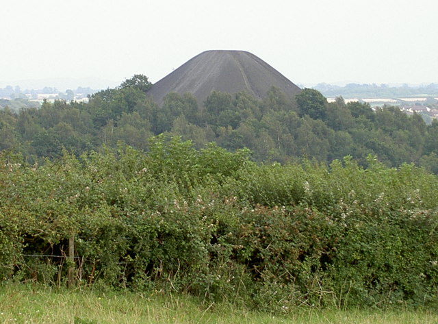
Rising to a height of 307 meters (1,007 feet), Welton Hill offers stunning panoramic views of the surrounding area. Its summit provides an excellent vantage point, allowing visitors to admire the picturesque countryside, nearby valleys, and the distant Mendip Hills. The hill's distinctive shape, with its steep slopes and rugged terrain, adds to its allure and makes it a popular destination for hikers and nature enthusiasts.
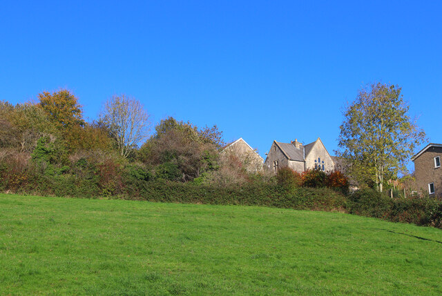
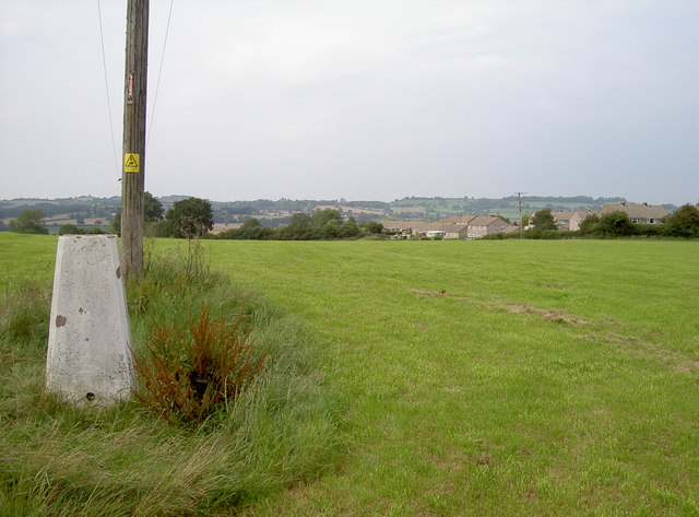
The landscape surrounding Welton Hill is characterized by rolling hills, lush green fields, and scattered woodland. The local flora and fauna are diverse, with a variety of plant species, including heather, gorse, and bracken, covering the hillside. Wildlife such as rabbits, foxes, and various bird species can also be spotted in the area.
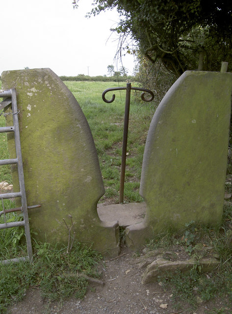
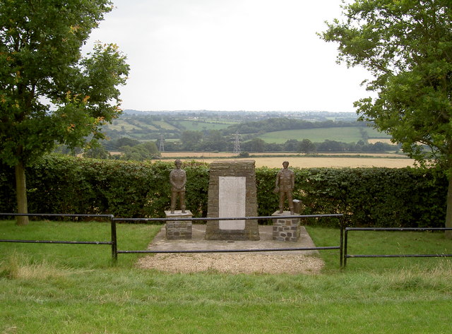
Welton Hill is a designated Area of Outstanding Natural Beauty (AONB), attracting visitors throughout the year. Its accessibility and well-maintained footpaths make it an ideal location for walking, hiking, and even paragliding. Additionally, the hill is home to several ancient burial sites, further adding to its historical and cultural significance.
Overall, Welton Hill offers a unique blend of natural beauty, stunning vistas, and historical value, making it a must-visit destination for nature lovers and outdoor enthusiasts alike.
If you have any feedback on the listing, please let us know in the comments section below.
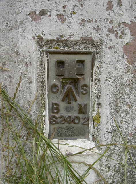
Welton Hill Images
Images are sourced within 2km of 51.297099/-2.4827223 or Grid Reference ST6655. Thanks to Geograph Open Source API. All images are credited.
Welton Hill is located at Grid Ref: ST6655 (Lat: 51.297099, Lng: -2.4827223)
Unitary Authority: Bath and North East Somerset
Police Authority: Avon and Somerset
What 3 Words
///ribcage.crush.grew. Near Midsomer Norton, Somerset
Nearby Locations
Related Wikis

Bowlditch Quarry
Bowlditch Quarry (grid reference ST668558) is a 0.25 hectare geological Site of Special Scientific Interest near the village of Clandown, Bath and North...

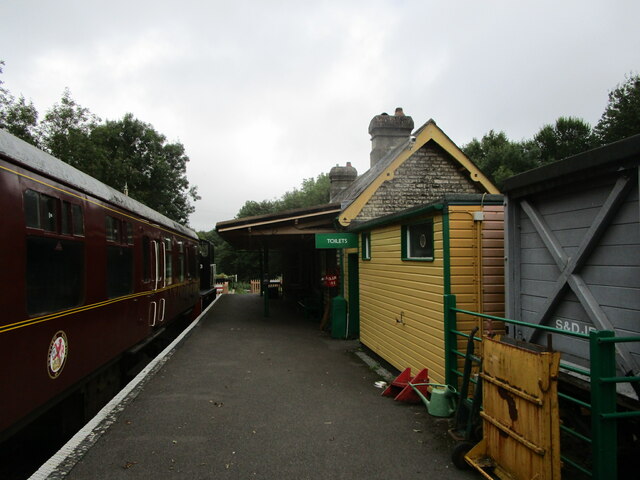
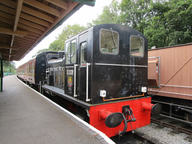
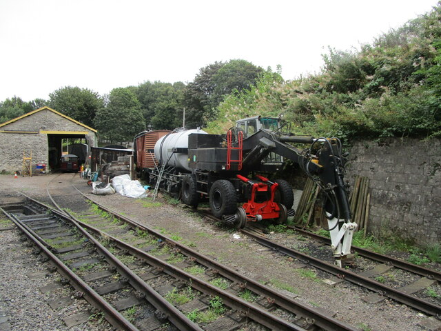
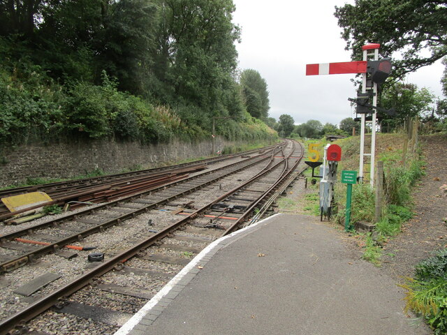
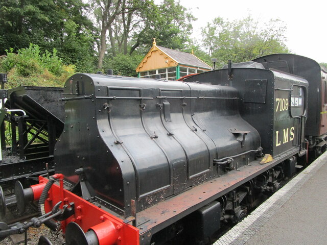
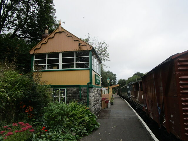
Midsomer Norton and Welton railway station
Midsomer Norton and Welton was a station on the Great Western Railway line from Bristol to Frome via Radstock (originally the Bristol and North Somerset...

Paulton Memorial Hospital
Paulton Memorial Hospital is a community hospital located in the village of Paulton, Somerset, approximately 12 miles (19 km) from Bath, managed by HCRG...
Welton Rovers F.C.
Welton Rovers Football Club is an English, Somerset County FA non-league football club in the Western Football League Premier Division. They are currently...
Somerset County Football Association
The Somerset County Football Association, also known as the Somerset FA, is the governing body of football in the county of Somerset. The association...
Paulton Rovers F.C.
Paulton Rovers Football Club is an English football club based on Winterfield Road in the growing village of Paulton near Bristol. They were established...

The Priory, Midsomer Norton
The Priory in Church Square, Midsomer Norton, within the English county of Somerset was rebuilt in the early or mid 17th century. It is a Grade II* listed...
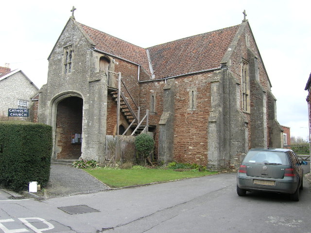
Church of the Holy Ghost, Midsomer Norton
The Church of the Holy Ghost, Midsomer Norton, Somerset, England is a Roman Catholic parish church housed in a converted tithe barn. It is served by monks...
Nearby Amenities
Located within 500m of 51.297099,-2.4827223Have you been to Welton Hill?
Leave your review of Welton Hill below (or comments, questions and feedback).