Belle Vue
Settlement in Somerset
England
Belle Vue
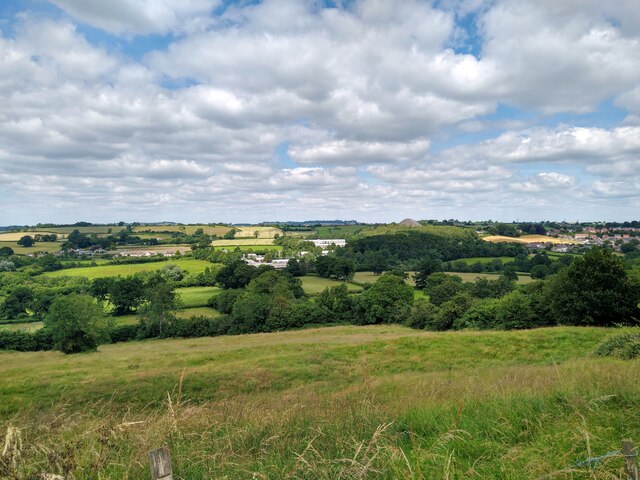
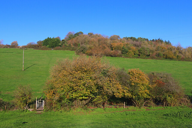
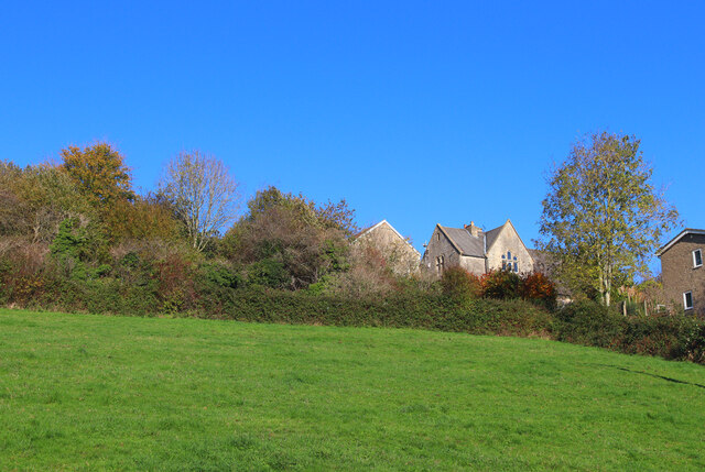
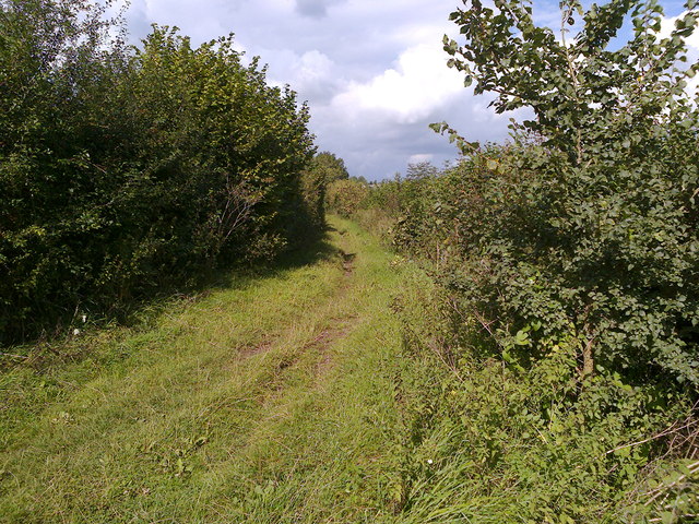
Belle Vue is a small village located in the county of Somerset, England. Situated on the southern edge of the Mendip Hills, the village is surrounded by picturesque countryside and offers stunning views of the surrounding landscape. It is conveniently located just a few miles away from the bustling town of Wells and is well connected to other major cities in the region.
The village itself is known for its quaint charm and peaceful atmosphere. With a population of around 500 residents, Belle Vue is a close-knit community that prides itself on its friendly and welcoming nature. The village is home to a mix of residential properties, ranging from traditional cottages to more modern houses, providing a variety of housing options for its residents.
Despite its small size, Belle Vue offers a range of amenities to cater to the needs of its residents. These include a local pub, a small convenience store, and a community center, which serves as a hub for various social and recreational activities. The village also benefits from its proximity to the nearby town of Wells, where residents can access a wider range of services, shops, and entertainment options.
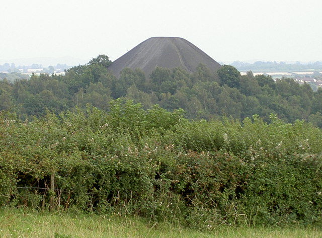
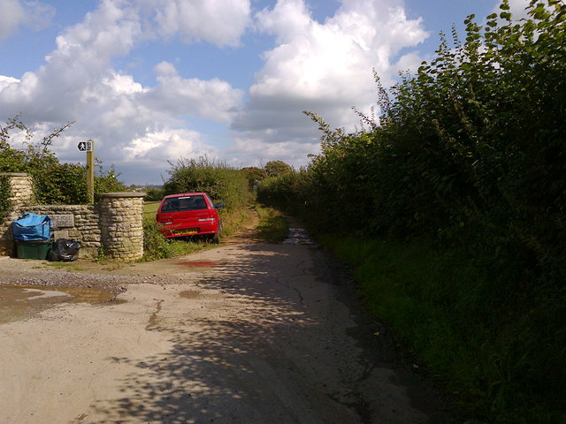
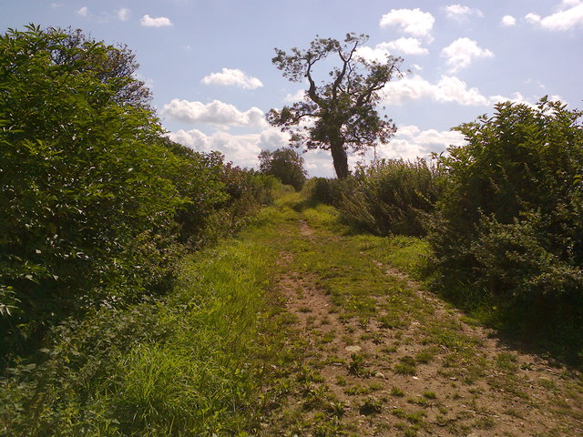
For those who enjoy the outdoors, Belle Vue offers numerous opportunities for outdoor activities. The surrounding countryside provides ample space for walking, hiking, and cycling, allowing residents to explore the beautiful natural surroundings. Additionally, the village is located near several popular tourist attractions, including the stunning Cheddar Gorge and the historical city of Bath, making it an ideal base for visitors looking to explore the region.
Overall, Belle Vue is a charming village that offers a peaceful and idyllic setting for its residents. With its stunning natural surroundings, friendly community, and convenient location, it is a desirable place to live for those seeking a quieter and more laid-back lifestyle in the heart of the Somerset countryside.
If you have any feedback on the listing, please let us know in the comments section below.
Belle Vue Images
Images are sourced within 2km of 51.293795/-2.479346 or Grid Reference ST6655. Thanks to Geograph Open Source API. All images are credited.
Belle Vue is located at Grid Ref: ST6655 (Lat: 51.293795, Lng: -2.479346)
Unitary Authority: Bath and North East Somerset
Police Authority: Avon and Somerset
What 3 Words
///suave.smoking.walled. Near Midsomer Norton, Somerset
Nearby Locations
Related Wikis

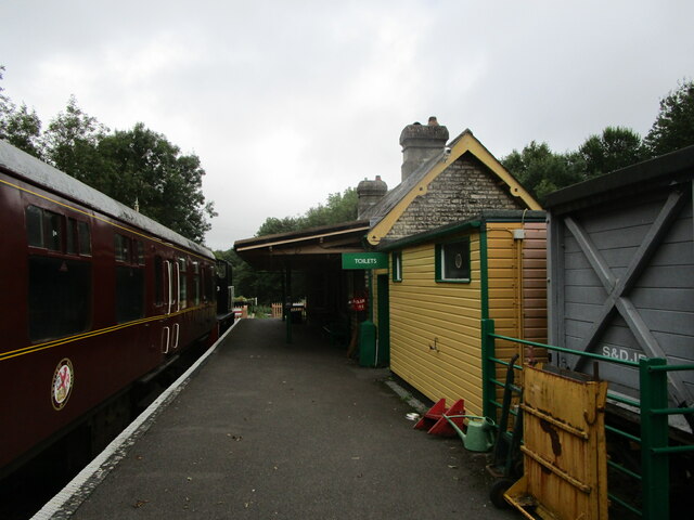
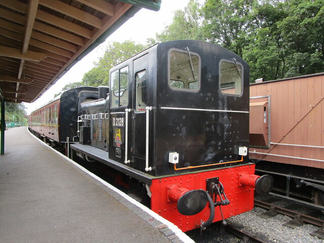
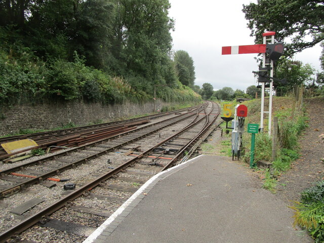
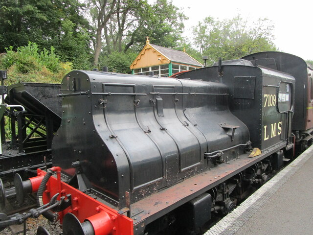
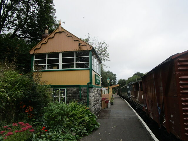
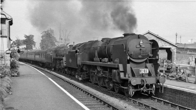
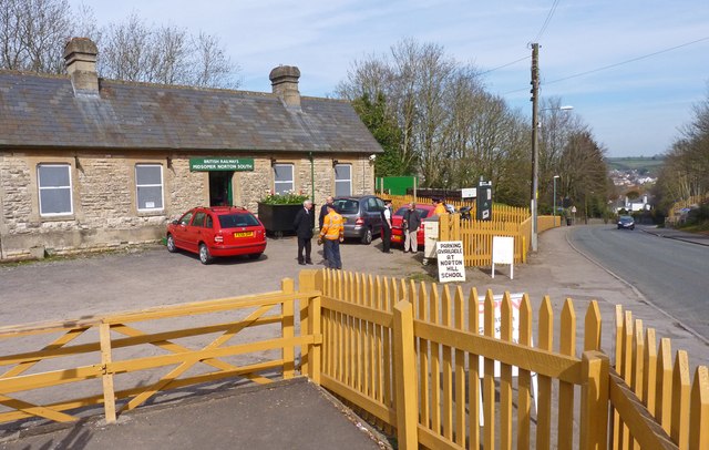
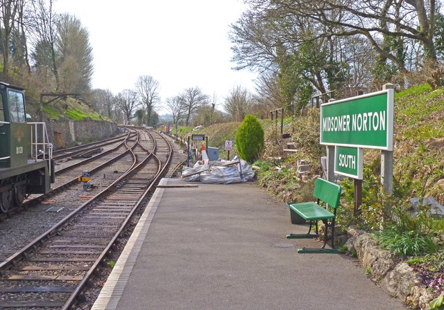
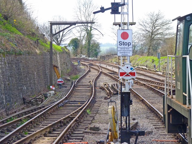
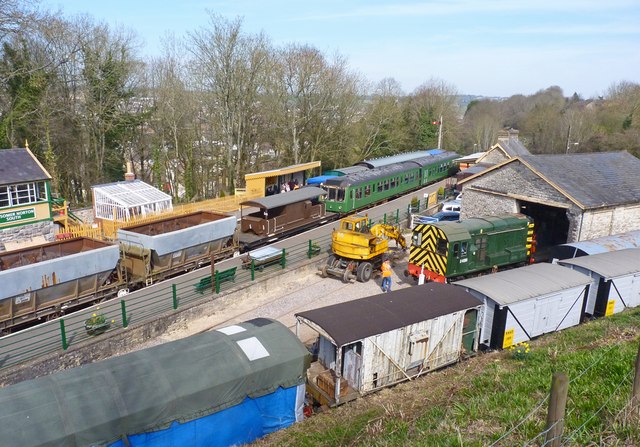
Midsomer Norton and Welton railway station
Midsomer Norton and Welton was a station on the Great Western Railway line from Bristol to Frome via Radstock (originally the Bristol and North Somerset...
Welton Rovers F.C.
Welton Rovers Football Club is an English, Somerset County FA non-league football club in the Western Football League Premier Division. They are currently...
Somerset County Football Association
The Somerset County Football Association, also known as the Somerset FA, is the governing body of football in the county of Somerset. The association...

Bowlditch Quarry
Bowlditch Quarry (grid reference ST668558) is a 0.25 hectare geological Site of Special Scientific Interest near the village of Clandown, Bath and North...

The Priory, Midsomer Norton
The Priory in Church Square, Midsomer Norton, within the English county of Somerset was rebuilt in the early or mid 17th century. It is a Grade II* listed...
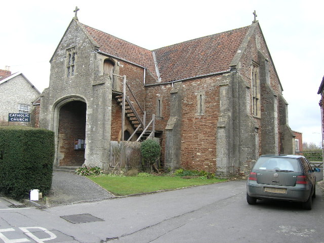
Church of the Holy Ghost, Midsomer Norton
The Church of the Holy Ghost, Midsomer Norton, Somerset, England is a Roman Catholic parish church housed in a converted tithe barn. It is served by monks...

Midsomer Norton Town Hall
Midsomer Norton Town Hall is a municipal structure at The Island, Midsomer Norton, Somerset, England. The structure, which serves as the meeting place...

Church of St John the Baptist, Midsomer Norton
The Anglican Church of St John the Baptist in Midsomer Norton, Somerset, England, is a Grade II* listed building. St. John's is part of the Diocese of...
Nearby Amenities
Located within 500m of 51.293795,-2.479346Have you been to Belle Vue?
Leave your review of Belle Vue below (or comments, questions and feedback).