Bellevue
Settlement in Derbyshire Derbyshire Dales
England
Bellevue
Bellevue is a small village located in the southern part of Derbyshire, England. Situated on the edge of the Peak District National Park, it is surrounded by picturesque countryside and offers a tranquil and scenic environment. The village is part of the wider civil parish of Milford and Makeney.
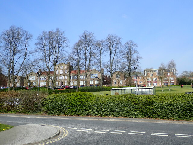
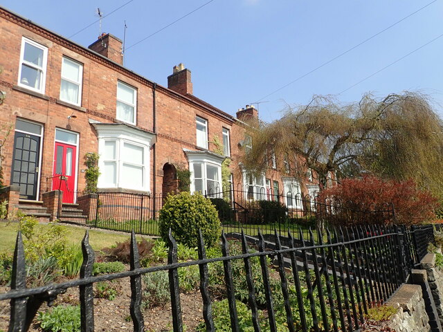
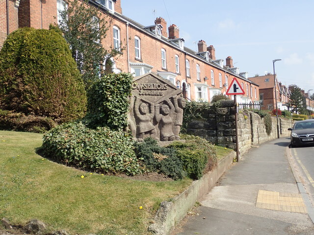
Bellevue is primarily a residential area, consisting of a mix of traditional stone cottages and modern houses. The village has a close-knit community, and residents enjoy a peaceful and friendly atmosphere. There are limited amenities within the village itself, but nearby towns such as Belper and Duffield provide a wider range of services and facilities.
Nature lovers are drawn to Bellevue due to its proximity to the stunning landscapes of the Peak District. The area offers numerous walking and hiking trails, allowing visitors to explore the beauty of the surrounding countryside. The nearby River Derwent also provides opportunities for fishing and boating.
In terms of transportation, Bellevue is well-connected to other parts of Derbyshire. The village is served by regular bus services, providing easy access to neighboring towns and cities. The closest railway stations are located in Belper and Duffield, offering further connections to larger urban centers.
Overall, Bellevue is a charming village that appeals to those seeking a peaceful and idyllic setting amidst the natural beauty of Derbyshire.
If you have any feedback on the listing, please let us know in the comments section below.
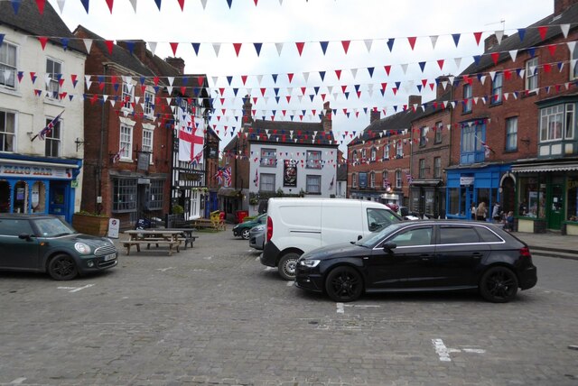
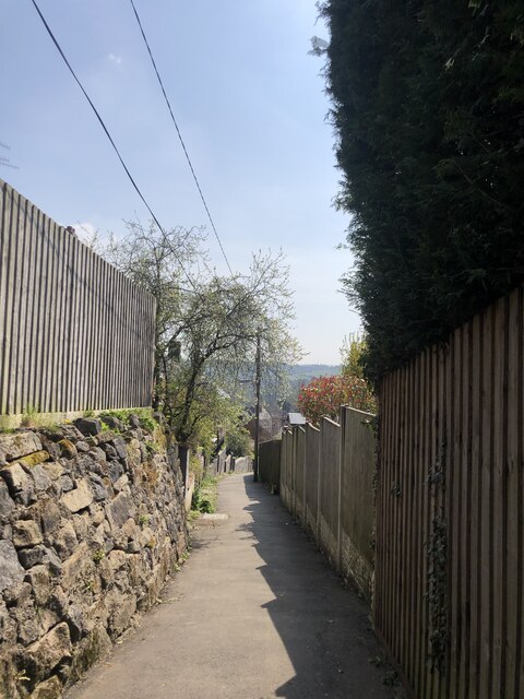
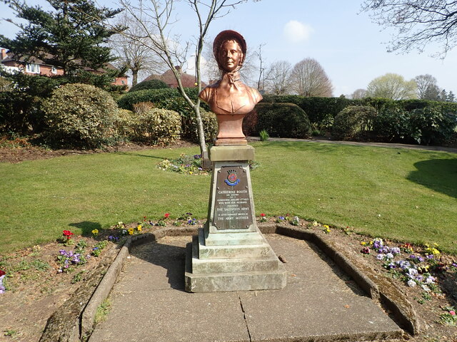
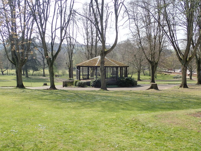
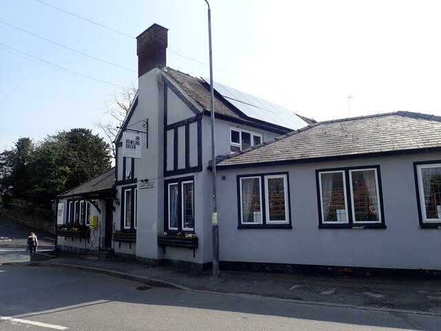
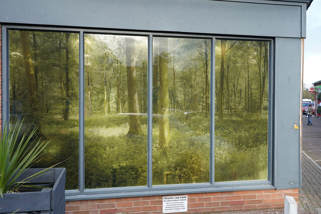
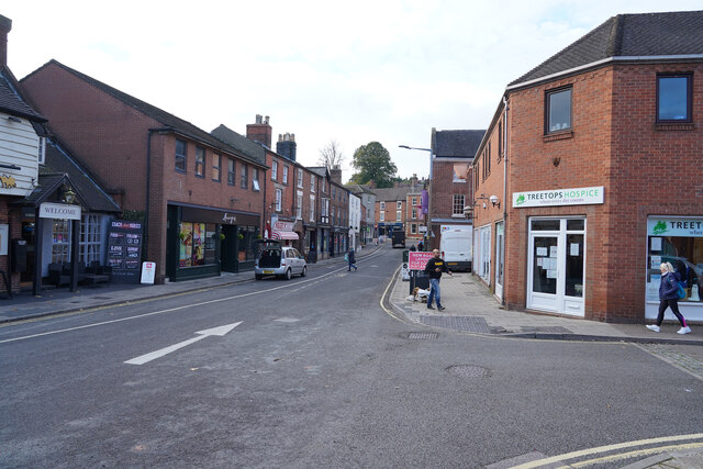
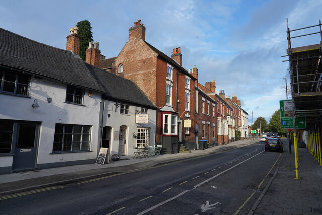
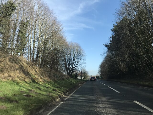
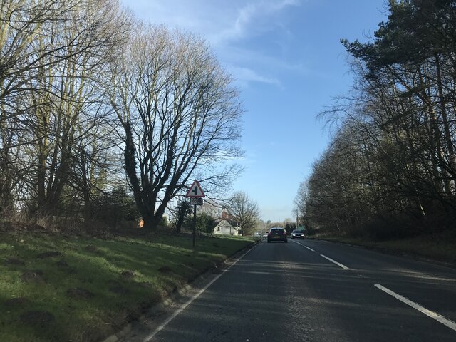
Bellevue Images
Images are sourced within 2km of 53.01818/-1.7362452 or Grid Reference SK1746. Thanks to Geograph Open Source API. All images are credited.
Bellevue is located at Grid Ref: SK1746 (Lat: 53.01818, Lng: -1.7362452)
Administrative County: Derbyshire
District: Derbyshire Dales
Police Authority: Derbyshire
What 3 Words
///mashing.lateral.detonated. Near Ashbourne, Derbyshire
Nearby Locations
Related Wikis

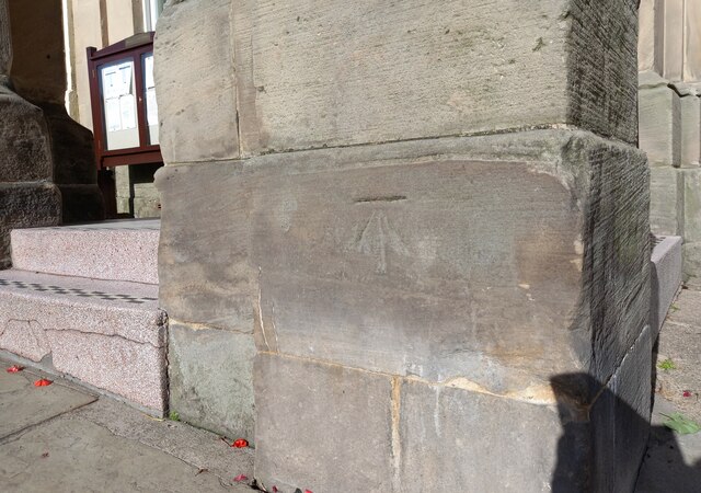
St Oswald's Church, Ashbourne
St Oswald's Church is a Church of England parish church located in Ashbourne, in the county of Derbyshire, England. == Background == The church is named...

Green Man, Ashbourne
The Green Man & Black's Head Royal Hotel (sometimes simply the Green Man) is a public house and hotel on St John Street (the A515) in the town centre of...

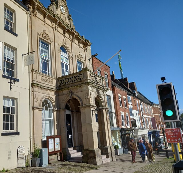
Ashbourne Town Hall
Ashbourne Town Hall is a municipal building in the Market Place, Ashbourne, Derbyshire, England. The town hall, which is the meeting place of Ashbourne...

Ashbourne railway station
Ashbourne railway station formerly served the town of Ashbourne in Derbyshire. There have been two stations in the town. The first, opened in 1852, was...

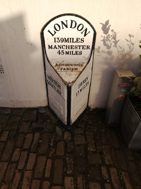
Ashbourne, Derbyshire
Ashbourne is a market town in the Derbyshire Dales district in Derbyshire, England. Its population was measured at 8,377 in the 2011 census and was estimated...

Ashbourne Urban District
Ashbourne was an Urban District in Derbyshire, England from 1894 to 1974. It was created under the Local Government Act 1894. It was enlarged in 1934 when...

Ashbourne Rural District
Ashbourne was a Rural District in Derbyshire, England from 1894 to 1974. It was created under the Local Government Act 1894. It was enlarged in 1934 when...

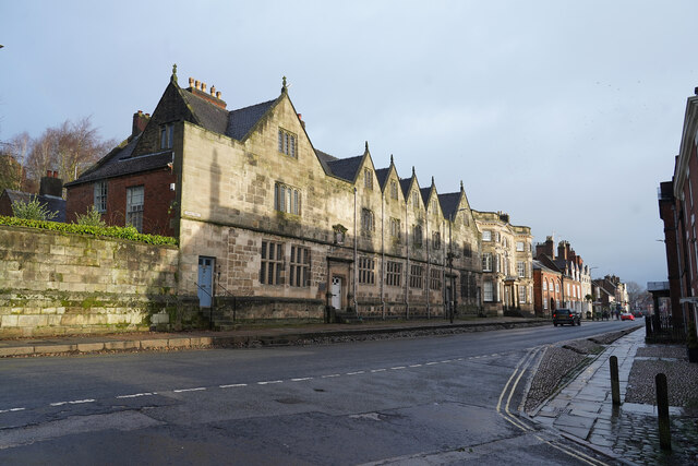
Ashbourne Hall
Ashbourne Hall is a Manor house originally built by the Cockayne family in the 13th century in Ashbourne, Derbyshire. The present building is part of a...
Nearby Amenities
Located within 500m of 53.01818,-1.7362452Have you been to Bellevue?
Leave your review of Bellevue below (or comments, questions and feedback).