Ranald's Hillock
Hill, Mountain in Banffshire
Scotland
Ranald's Hillock
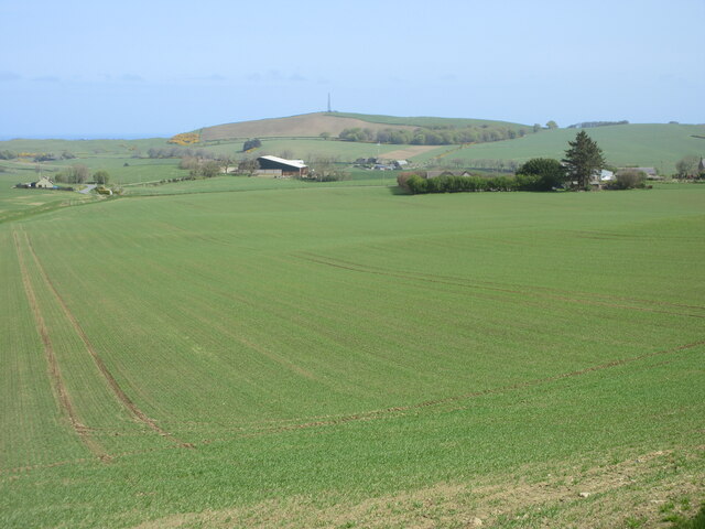
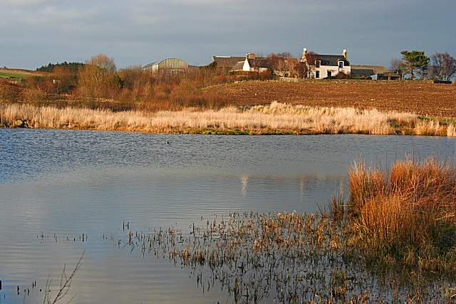
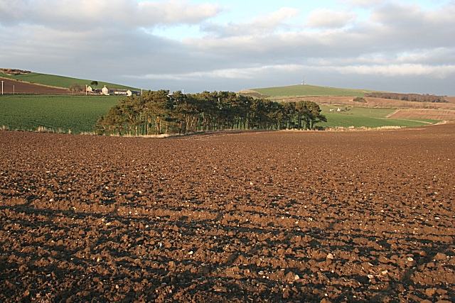
Ranald's Hillock is a prominent hill located in Banffshire, Scotland. Standing at an elevation of approximately 350 meters (1150 feet), it offers stunning panoramic views of the surrounding countryside. Situated in the northeastern part of the country, Ranald's Hillock is known for its rugged terrain, lush greenery, and diverse wildlife.
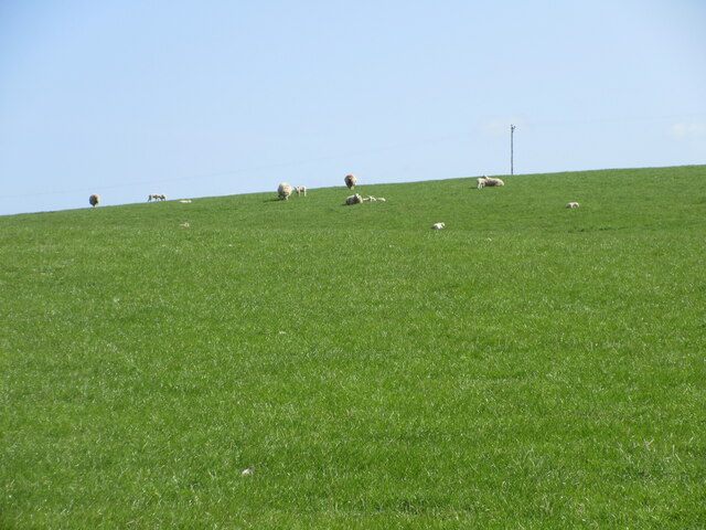
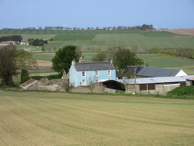
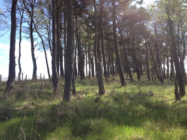
Covered in a patchwork of heather, grasses, and scattered birch trees, Ranald's Hillock is a haven for nature enthusiasts and hikers. The hill provides an excellent opportunity to explore the Scottish countryside and enjoy peaceful walks amidst its picturesque landscape. Visitors can witness a variety of flora and fauna, including wildflowers, birds, and small mammals, while traversing the hill's trails.
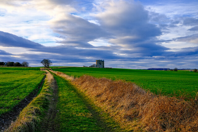
Ranald's Hillock holds historical significance as well, with remnants of an ancient Pictish fort found on its slopes. These archaeological remains offer a glimpse into the rich history of the area and attract history buffs and enthusiasts alike.
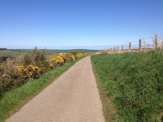
The hill is easily accessible, with a well-maintained footpath leading to its summit. The ascent is moderate, making it suitable for all fitness levels. As visitors make their way to the top, they are rewarded with breathtaking views of the surrounding countryside, including rolling hills, meandering rivers, and distant coastal vistas.
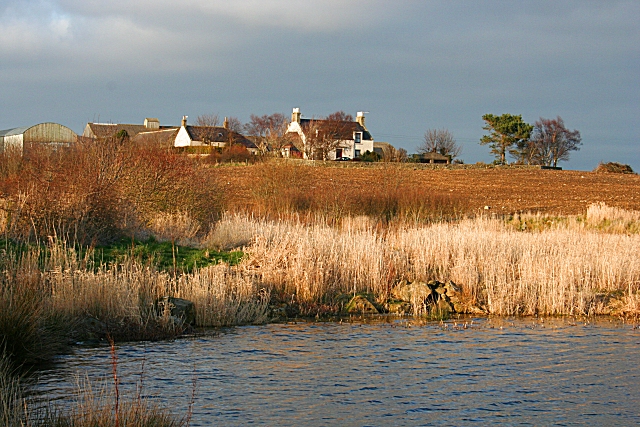
Ranald's Hillock is a popular destination for outdoor activities such as hiking, photography, and nature appreciation. Its natural beauty, combined with its historical significance, makes it a must-visit location for those exploring the Banffshire region of Scotland.
If you have any feedback on the listing, please let us know in the comments section below.
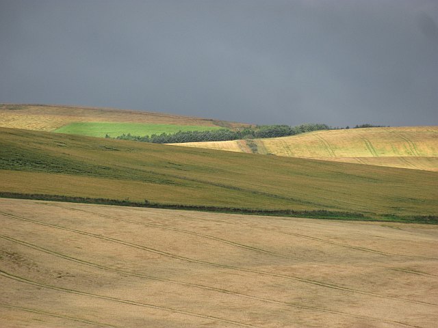
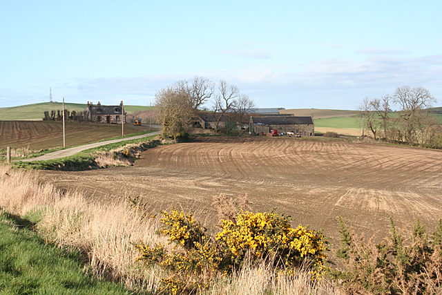
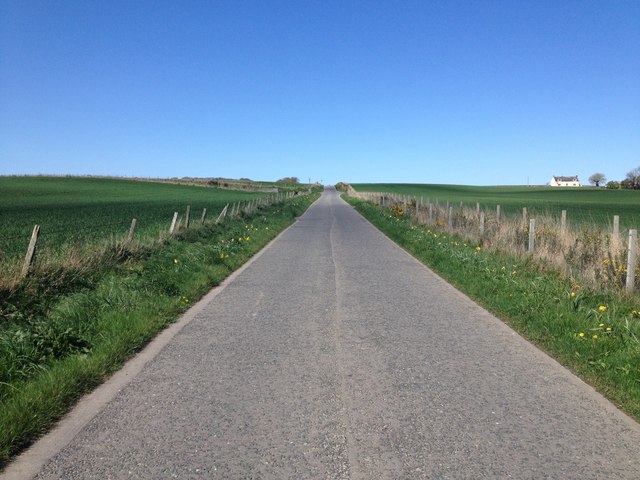
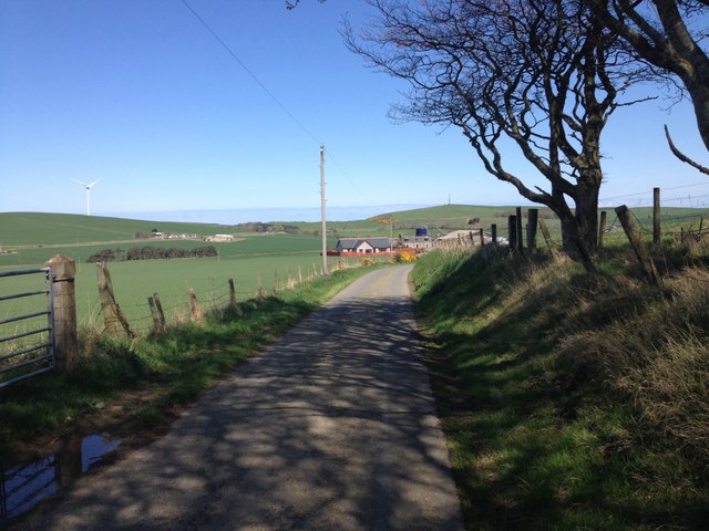
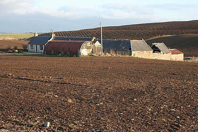
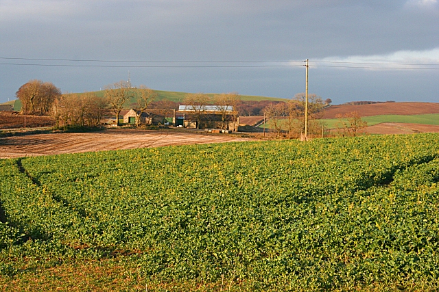
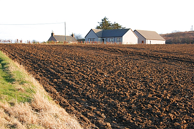
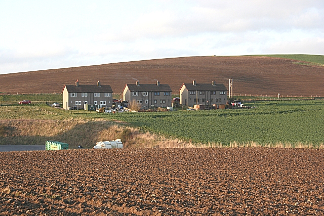
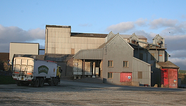
Ranald's Hillock Images
Images are sourced within 2km of 57.619501/-2.5634461 or Grid Reference NJ6658. Thanks to Geograph Open Source API. All images are credited.
Ranald's Hillock is located at Grid Ref: NJ6658 (Lat: 57.619501, Lng: -2.5634461)
Unitary Authority: Aberdeenshire
Police Authority: North East
What 3 Words
///trucks.trackers.premises. Near Banff, Aberdeenshire
Nearby Locations
Related Wikis
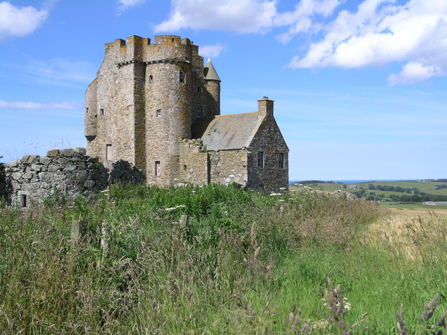
Inchdrewer Castle
Inchdrewer Castle is a 16th-century tower house in the parish of Banff, Aberdeenshire, in the north-east of Scotland. Situated on a slight rise 3.5 miles...

Eden Castle
Eden Castle is a castle near Banff in Aberdeenshire, Scotland. The castle was built in the latter half of the 16th century by the Meldrum family with renovation...

Ladysbridge railway station
Ladysbridge railway station was a station in Aberdeenshire, Scotland. Opened as Lady's Bridge railway station in 1859 it was renamed Ladysbridge railway...

Ladysbridge Hospital
Ladysbridge Hospital was a mental health facility near Banff, Aberdeenshire, Scotland. The former hospital is a Category B listed building. == History... ==

Banff Academy
Banff Academy is a S1–S6 secondary school in Banff, Aberdeenshire, Scotland. It serves the towns of Banff, Macduff, Whitehills, Portsoy, Aberchirder, Gardenstown...

Duff House
Duff House is a Georgian estate house in Banff, Aberdeenshire, Scotland. Now in the care of Historic Environment Scotland, it is part of the National Galleries...
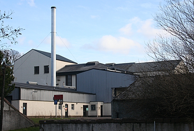
Macduff distillery
Macduff distillery is a single malt Scotch whisky distillery in Macduff in the Highland whisky producing area of Scotland. == History == The Macduff Distillery...
Duff House Royal Golf Club
Duff House Royal Golf Club is a Championship Course and one of the best golf courses in Aberdeenshire. Located in Banff, Scotland it was founded in 1910...
Nearby Amenities
Located within 500m of 57.619501,-2.5634461Have you been to Ranald's Hillock?
Leave your review of Ranald's Hillock below (or comments, questions and feedback).