Arleston Hill
Hill, Mountain in Shropshire
England
Arleston Hill
Arleston Hill is a prominent natural landmark located in the county of Shropshire, England. Situated near the village of Arleston, the hill stands at an elevation of approximately 200 meters, offering breathtaking panoramic views of the surrounding countryside.
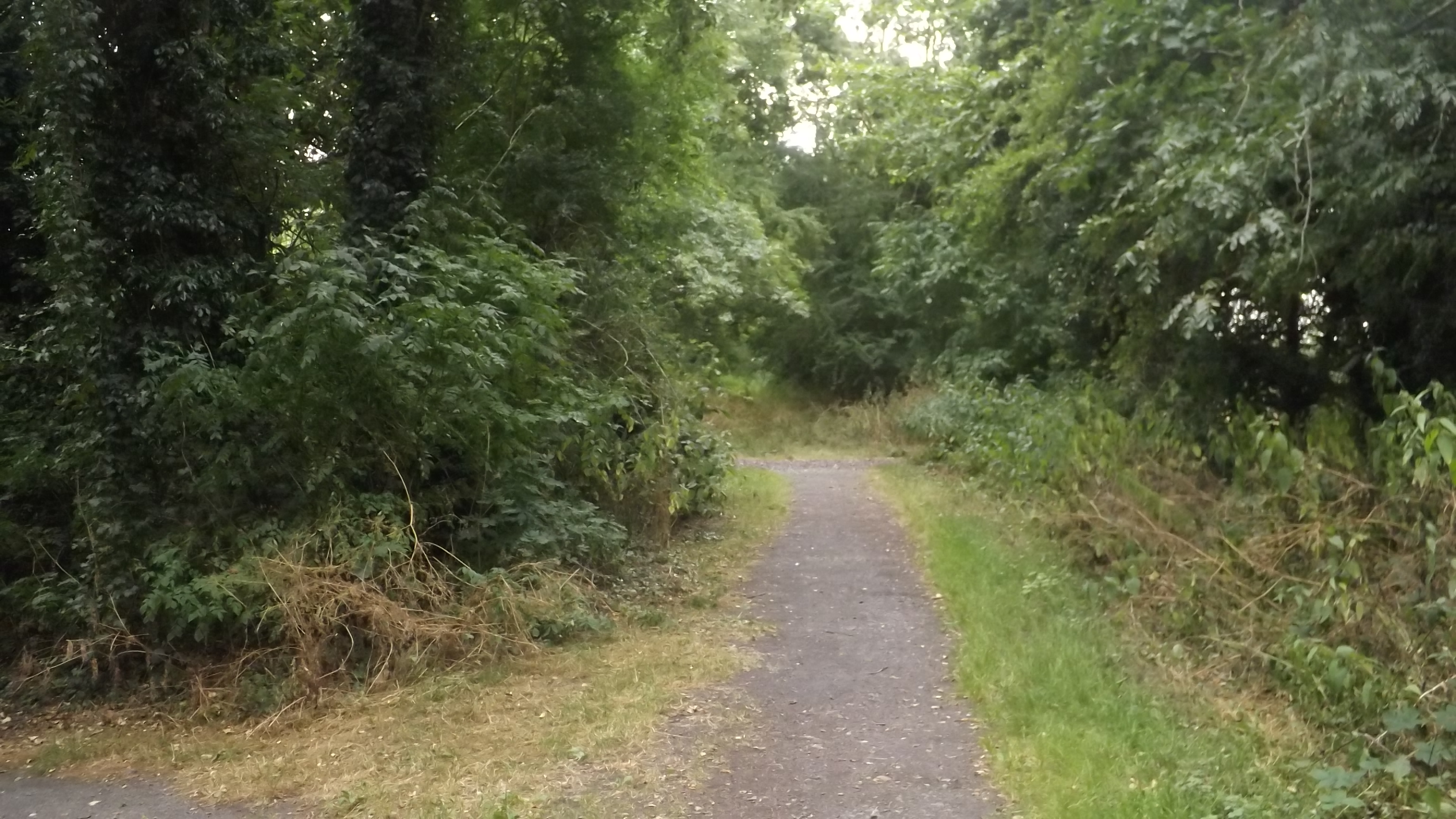
Characterized by its gently sloping terrain, Arleston Hill is considered a moderately sized hill rather than a mountain. Its terrain is primarily composed of lush green grass, which serves as grazing land for local livestock. The hill is also adorned with scattered trees, providing shade and contributing to its picturesque appearance.
Arleston Hill holds historical significance, as it is believed to have been inhabited since ancient times. Archaeological evidence suggests that the area was once home to prehistoric settlements, with remnants of Iron Age hillforts found on its slopes. These remnants further enhance the hill's appeal to history enthusiasts and archaeology buffs.
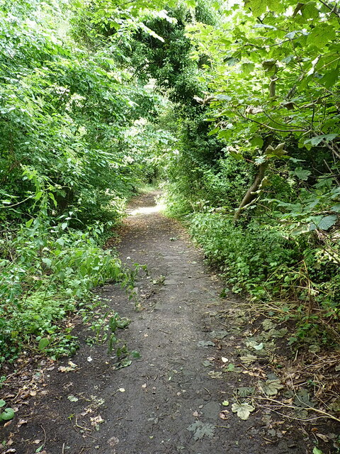
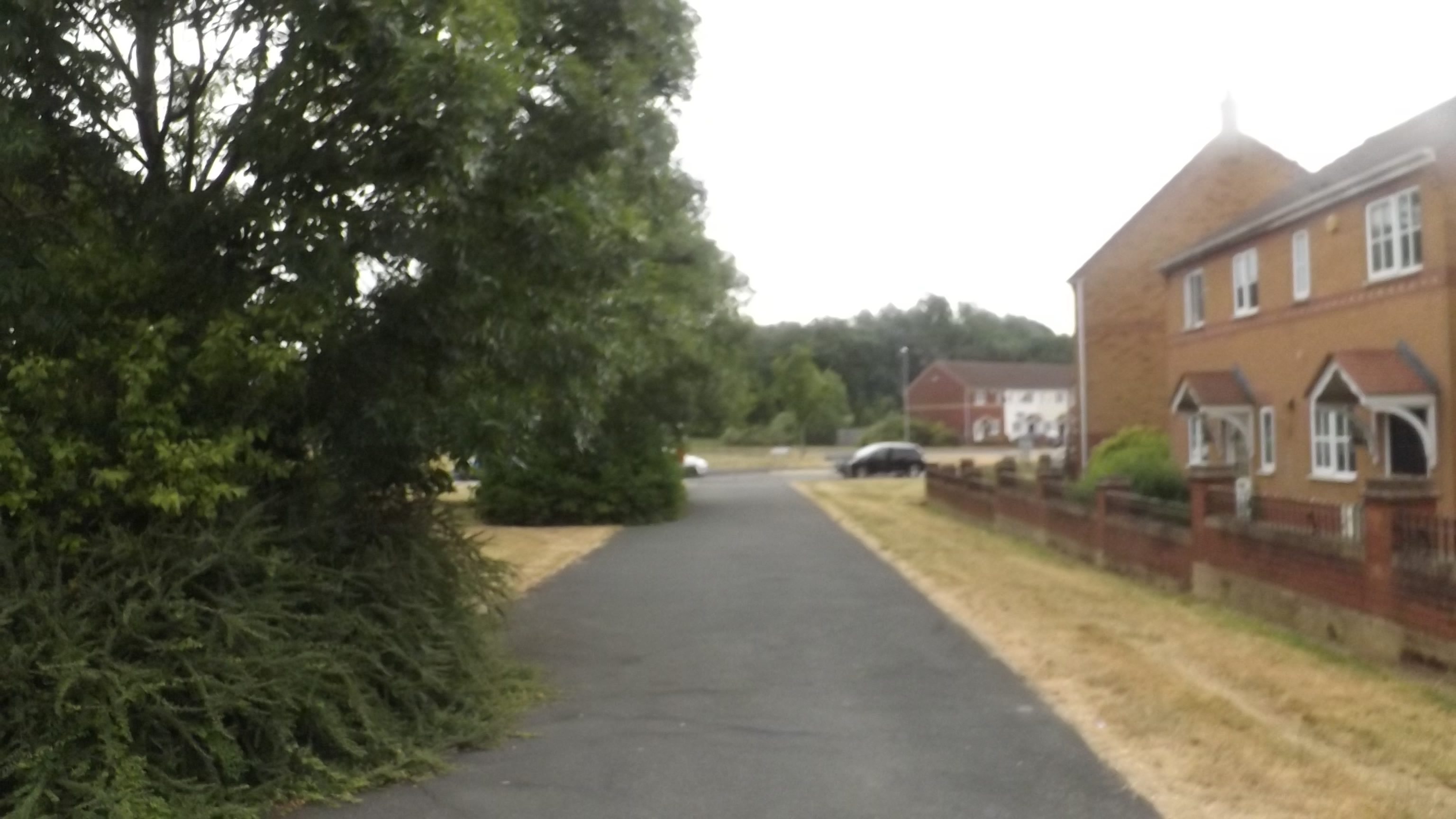
The hill is easily accessible via a network of well-maintained footpaths and trails, making it a popular destination for walkers, hikers, and nature lovers. The summit offers unobstructed views of the surrounding countryside and distant hills, providing a serene and tranquil experience for visitors.
Arleston Hill also serves as a habitat for various wildlife species, including rabbits, foxes, and numerous bird species, making it an ideal location for birdwatching enthusiasts. The hill's natural beauty and diverse ecosystem make it a haven for nature enthusiasts and photographers alike.
Overall, Arleston Hill is a captivating natural landmark that offers a blend of natural beauty, historical significance, and recreational opportunities, making it a must-visit destination for both locals and visitors to Shropshire.
If you have any feedback on the listing, please let us know in the comments section below.
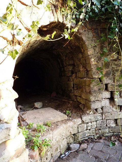
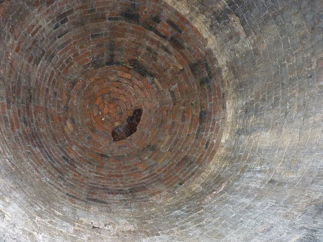
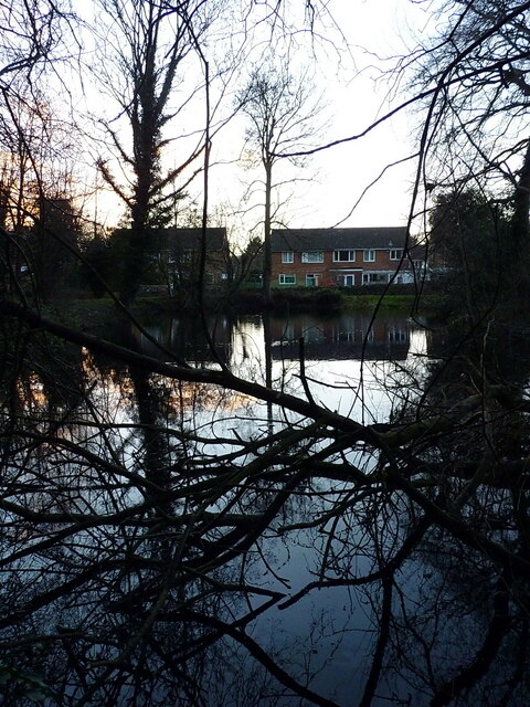
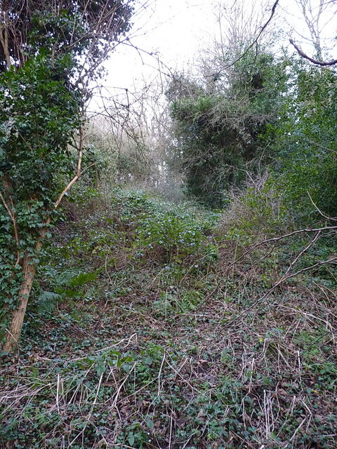
Arleston Hill Images
Images are sourced within 2km of 52.682904/-2.4976586 or Grid Reference SJ6609. Thanks to Geograph Open Source API. All images are credited.


Arleston Hill is located at Grid Ref: SJ6609 (Lat: 52.682904, Lng: -2.4976586)
Unitary Authority: Telford and Wrekin
Police Authority: West Mercia
What 3 Words
///adopting.bluff.garden. Near Hadley, Shropshire
Nearby Locations
Related Wikis
Ketley Town Halt railway station
Ketley Town Halt railway station was a station in Ketley, Shropshire, England. The station was opened in 1936 and closed in 1962.The station was located...

New Dale Halt railway station
New Dale Halt railway station was a station to the south of Ketley, Shropshire, England. The station was opened in 1934 and closed in 1962. == References... ==
Lawley Bank railway station
Lawley Bank railway station was a station to the north of Horsehay, Shropshire, England. The station was opened in 1859 and closed in 1962. == References... ==

Telford College
Telford College is a further education college in Telford, Shropshire, England. It operates from one main site and many in-company training sites and...
Ercall Wood Academy
Ercall Wood Academy is a co-educational secondary school located in Wellington in the English county of Shropshire.It is an academy converter and is a...

New Bucks Head
New Bucks Head is a stadium in Wellington, Shropshire, England and the home of Conference National football club AFC Telford United. It was originally...

Ketley railway station
Ketley railway station was a station in Ketley, Shropshire, England. The station was opened in 1859 and closed in 1962. == References == == Further... ==

Ketley
Ketley is a large village and part of Telford in the borough of Telford and Wrekin and ceremonial county of Shropshire, England. It is a civil parish....
Nearby Amenities
Located within 500m of 52.682904,-2.4976586Have you been to Arleston Hill?
Leave your review of Arleston Hill below (or comments, questions and feedback).