Bunker's Hill
Hill, Mountain in Lancashire
England
Bunker's Hill
Bunker's Hill is a prominent hill located in Lancashire, England. Situated in the borough of Rossendale, it forms part of the Pennine range and offers stunning panoramic views of the surrounding countryside. Rising to an elevation of approximately 1,200 feet (366 meters), it is considered one of the highest points in the region.
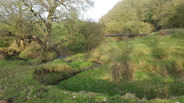
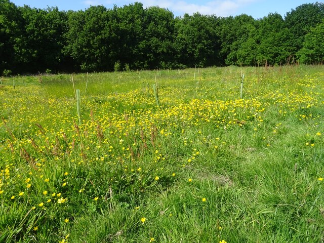
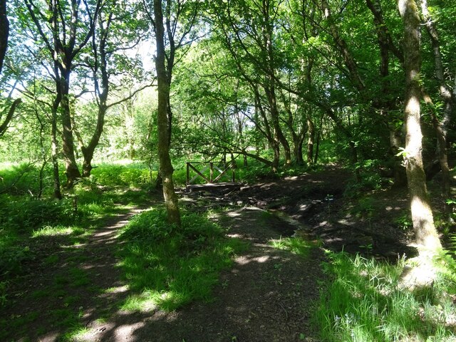
This hill is a popular destination for locals and tourists alike who enjoy outdoor activities such as hiking, walking, and cycling. Its well-maintained trails and footpaths make it easily accessible for outdoor enthusiasts of all levels. The diverse landscape of Bunker's Hill includes rolling meadows, patches of woodland, and open moorland, providing visitors with a variety of terrains to explore.
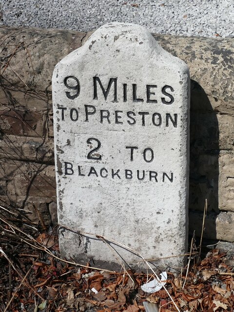
At the summit of Bunker's Hill, there is a stone marker that indicates the peak's height and offers a point of interest for those who reach the top. The marker also serves as a reference point from which visitors can orient themselves and admire the breathtaking vistas of the surrounding Lancashire countryside.
Aside from its recreational value, Bunker's Hill also holds historical significance. It is believed to have been used as an ancient fortification during times of conflict, serving as a strategic vantage point for military purposes. The name "Bunker's Hill" itself evokes a sense of history and intrigue, reminding visitors of the hill's past role in the region.
Overall, Bunker's Hill in Lancashire is a captivating natural landmark that offers both recreational opportunities and a glimpse into the area's rich history. Whether it be for leisurely walks or invigorating hikes, this hill provides an unforgettable experience for those who venture to its summit.
If you have any feedback on the listing, please let us know in the comments section below.
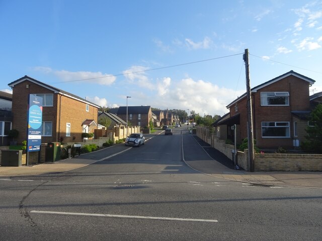
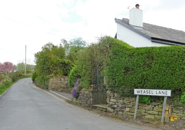
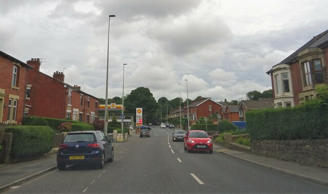
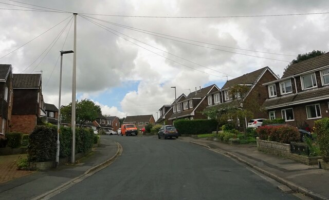
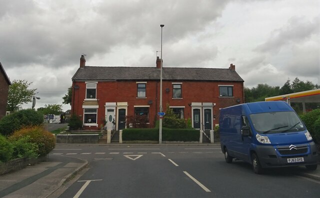
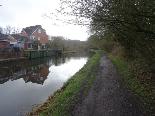
Bunker's Hill Images
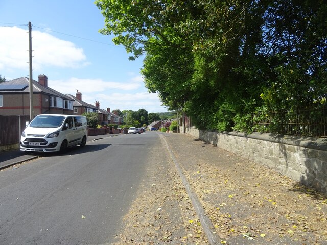
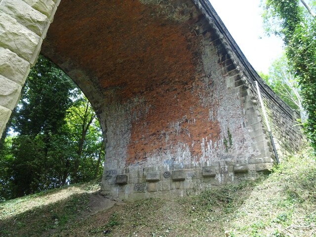
Images are sourced within 2km of 53.7198/-2.5101259 or Grid Reference SD6624. Thanks to Geograph Open Source API. All images are credited.
Bunker's Hill is located at Grid Ref: SD6624 (Lat: 53.7198, Lng: -2.5101259)
Unitary Authority: Blackburn with Darwen
Police Authority: Lancashire
What 3 Words
///boxing.bother.couches. Near Blackburn, Lancashire
Nearby Locations
Related Wikis

Livesey
Livesey is a civil parish in the unitary borough of Blackburn with Darwen, in the ceremonial county of Lancashire, England. The population of the civil...

St Bede's Roman Catholic High School, Blackburn
St Bede's RC High School is a coeducational Roman Catholic secondary school located in Blackburn in the English county of Lancashire.It is a voluntary...
St Andrew's Church, Blackburn
St Andrew's Church is in Livesey Branch Road, Blackburn, Lancashire, England. It is a redundant Anglican church designed by the Lancaster architect E...

Tockholes
Tockholes is a village and civil parish which forms part of the Blackburn with Darwen unitary authority in the English county of Lancashire, England. Tockholes...
Feniscowles railway station
Feniscowles railway station was a railway station that served the village of Feniscowles, in Blackburn with Darwen in Lancashire, England. == History... ==

Cherry Tree railway station
Cherry Tree railway station serves Cherry Tree in the Blackburn with Darwen borough of Lancashire, England. The station is 1.9 miles (3 km) southwest of...
Radio Rovers
Radio Rovers was the official radio station of the English Championship football side Blackburn Rovers FC. It was launched at Ewood Park on 30 October...
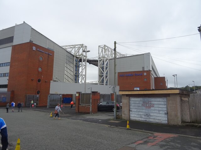
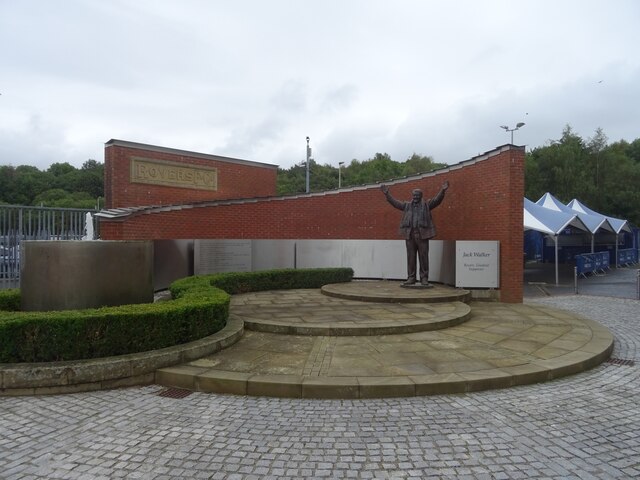
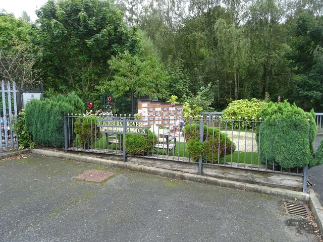
Blackburn Rovers F.C.
Blackburn Rovers Football Club is a professional football club, based in Blackburn, Lancashire, England, which competes in the EFL Championship, the second...
Related Videos

BANK HOLIDAY MONDAY LAUGHS AT THE FUN FAIR WITH SHAKIRA MALIK - WITTON PARK BLACKBURN UK FAMILY FUN
Fun fair It's a Theme Park, how old are ya?

Nearby Amenities
Located within 500m of 53.7198,-2.5101259Have you been to Bunker's Hill?
Leave your review of Bunker's Hill below (or comments, questions and feedback).