Hill of Goauch
Hill, Mountain in Kincardineshire
Scotland
Hill of Goauch
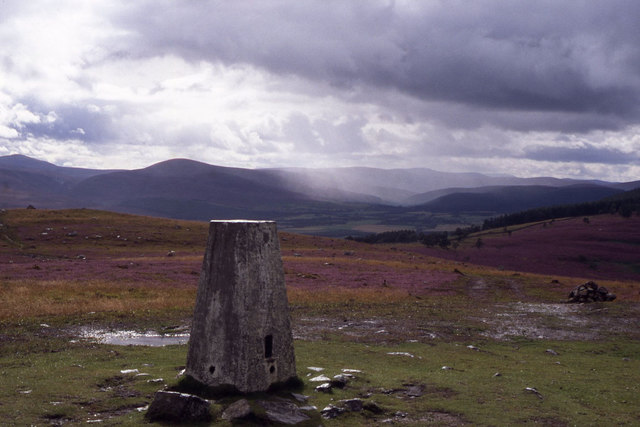
Hill of Goauch is an impressive hill located in Kincardineshire, Scotland. Situated in the eastern part of the county, it is part of the larger Grampian Mountains range. Rising to a height of approximately 665 meters (2,182 feet), it offers breathtaking panoramic views of the surrounding countryside.
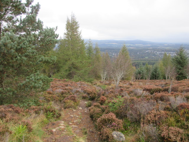
The hill is characterized by its rugged and rocky terrain, with steep slopes that challenge even experienced hikers and climbers. The summit of Hill of Goauch is marked by a cairn, a man-made pile of stones, which serves as a traditional landmark for those reaching the top. From here, on a clear day, one can admire the stunning vistas stretching out towards the North Sea and across the rolling hills and valleys of Kincardineshire.
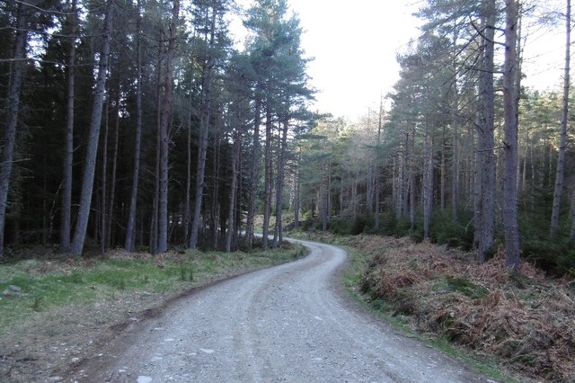
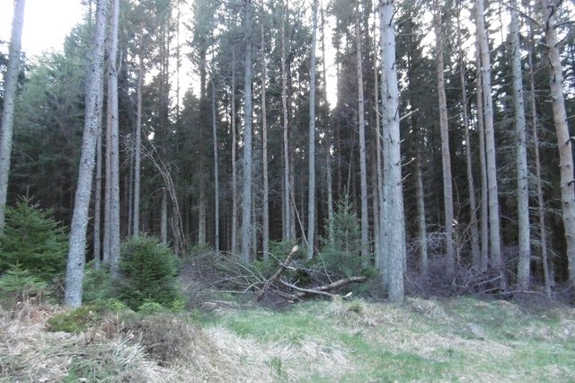
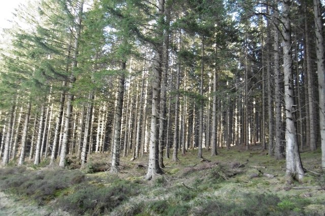
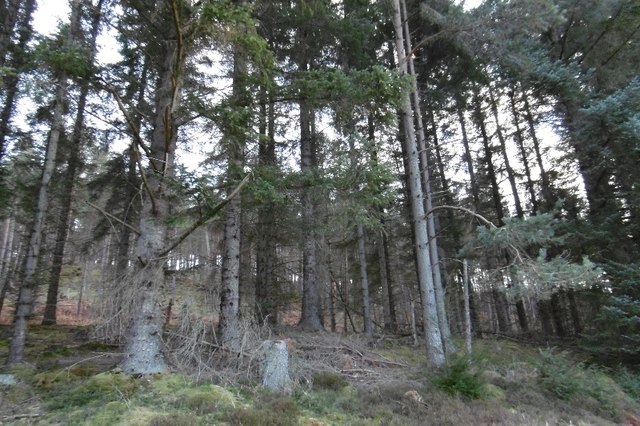
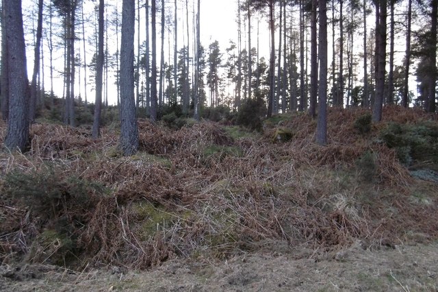
Covered in heather and gorse, the hill provides a rich and diverse habitat for flora and fauna. It is home to a variety of bird species, including red grouse and peregrine falcons, which nest in the rocky cliffs. The surrounding moorland supports a wide range of plant life, including bell heather, bog myrtle, and wild thyme.
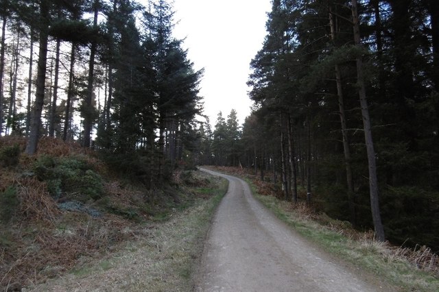
Hill of Goauch attracts outdoor enthusiasts throughout the year, offering opportunities for hiking, mountain biking, and birdwatching. However, due to its challenging terrain, it is recommended that visitors come prepared with appropriate equipment and clothing. Additionally, it is advisable to check the weather conditions before embarking on any ascent.
Overall, Hill of Goauch is a stunning natural landmark that showcases the beauty and diversity of the Kincardineshire landscape. Its picturesque views and challenging trails make it a popular destination for nature lovers and adventure seekers alike.
If you have any feedback on the listing, please let us know in the comments section below.
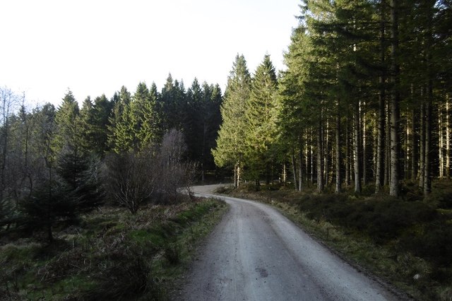
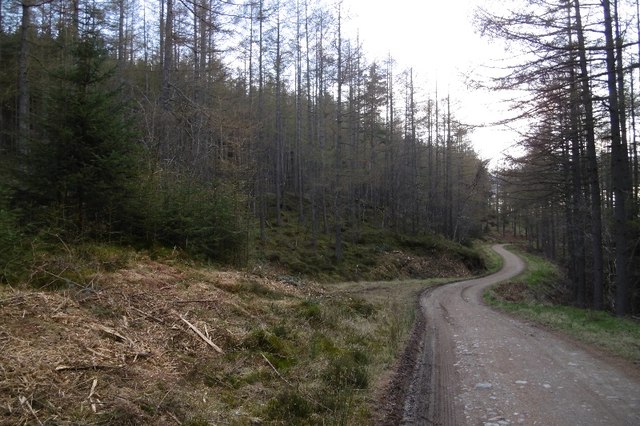
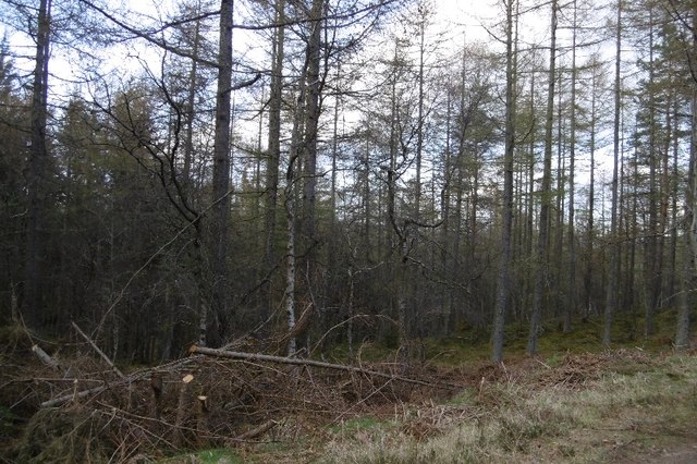
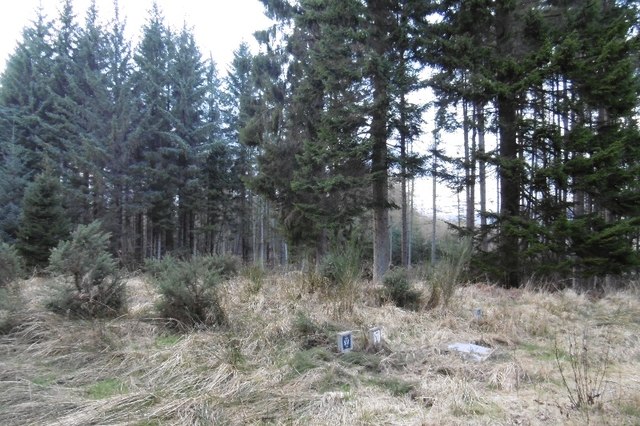
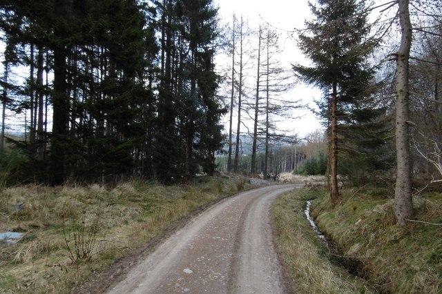
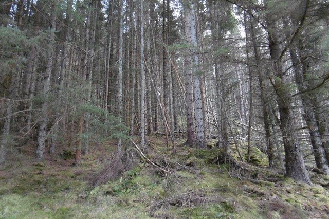
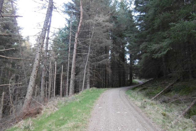
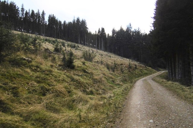
Hill of Goauch Images
Images are sourced within 2km of 57.038364/-2.5584235 or Grid Reference NO6694. Thanks to Geograph Open Source API. All images are credited.
Hill of Goauch is located at Grid Ref: NO6694 (Lat: 57.038364, Lng: -2.5584235)
Unitary Authority: Aberdeenshire
Police Authority: North East
What 3 Words
///sideboard.fragment.corkscrew. Near Banchory, Aberdeenshire
Nearby Locations
Related Wikis

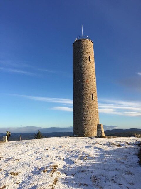
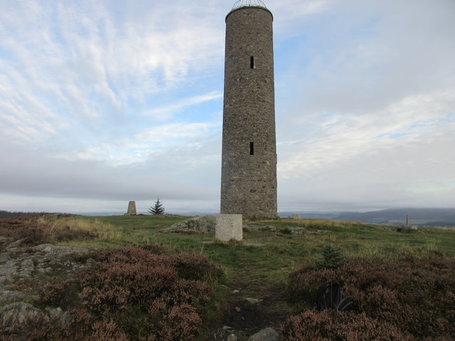
Scolty Hill
Scolty Hill is a small hill south of the Deeside town, Banchory. Its best known feature is the 20m tall tower monument, built in 1840 as a memorial to...

Strachan, Aberdeenshire
Strachan is a village in Aberdeenshire, Scotland that lies along the Water of Feugh, a tributary of the River Dee, Aberdeenshire, a few miles southwest...
Kinneskie Road drill hall, Banchory
The Kinneskie Road drill hall is a former military installation near Banchory, Scotland. == History == The building was designed as the headquarters of...

Water of Aven
The Water of Aven (or A'an) (Scottish Gaelic: an t-Uisge Bàn) is a tributary of the Water of Feugh, itself the largest tributary of the River Dee, Aberdeenshire...
Nearby Amenities
Located within 500m of 57.038364,-2.5584235Have you been to Hill of Goauch?
Leave your review of Hill of Goauch below (or comments, questions and feedback).