Berry Hill

Hill, Mountain in Banffshire

Scotland

Berry Hill

Auldtown of Carnousie The farm house, to the right, is dwarfed by extensive modern buildings.
Auldtown of Carnousie Credit: Anne Burgess

Berry Hill is a prominent hill located in the historic county of Banffshire, Scotland. Situated near the idyllic village of Aberchirder, it forms part of the picturesque landscape of the region. Berry Hill stands at an elevation of approximately 1,004 feet (306 meters) above sea level, making it a notable landmark in the area.

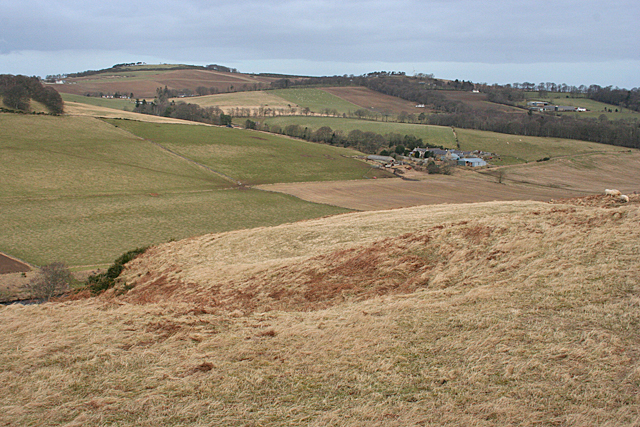
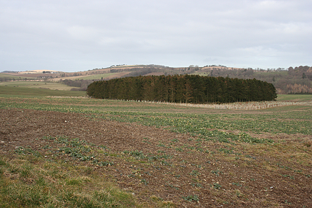
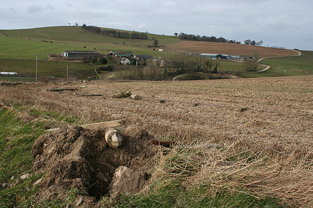
The hill is characterized by its gentle slopes, covered in lush green vegetation, and offers breathtaking panoramic views of the surrounding countryside. Its strategic position provides visitors with stunning vistas of the nearby rolling hills, quaint villages, and the sparkling waters of the Moray Firth in the distance.

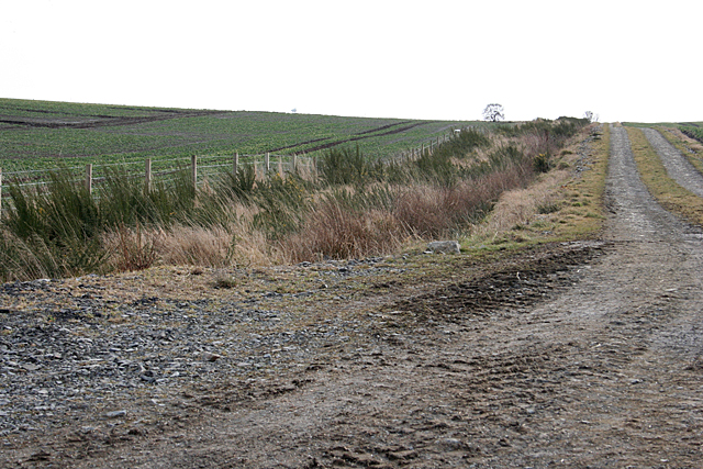
Berry Hill is a popular destination for outdoor enthusiasts, offering various walking and hiking trails that cater to different skill levels. The hill's well-maintained paths make it accessible to both casual walkers and more experienced hikers. Along the way, visitors can enjoy the diverse flora and fauna that call this area home, including heather, wildflowers, and various bird species.

At the summit of Berry Hill, visitors are rewarded with unparalleled vistas that stretch across the Banffshire countryside. On clear days, it is possible to see as far as the Cairngorms National Park and even the distant Grampian Mountains.

Overall, Berry Hill in Banffshire is a beloved natural landmark, attracting both locals and tourists alike. Its accessibility, stunning views, and tranquil surroundings make it a must-visit destination for nature enthusiasts and those seeking a peaceful escape in the Scottish Highlands.

If you have any feedback on the listing, please let us know in the comments section below.
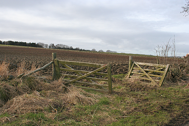
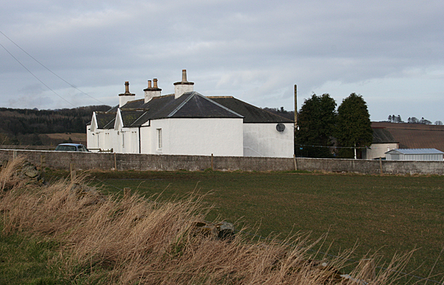
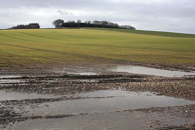
Berry Hill Images

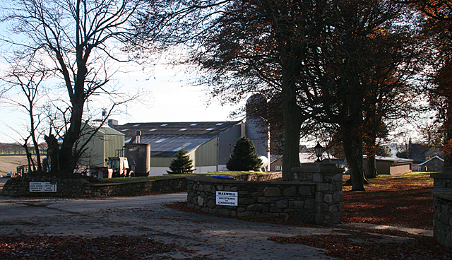
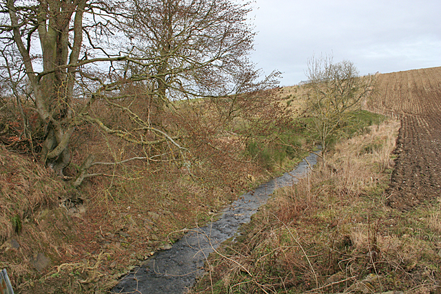
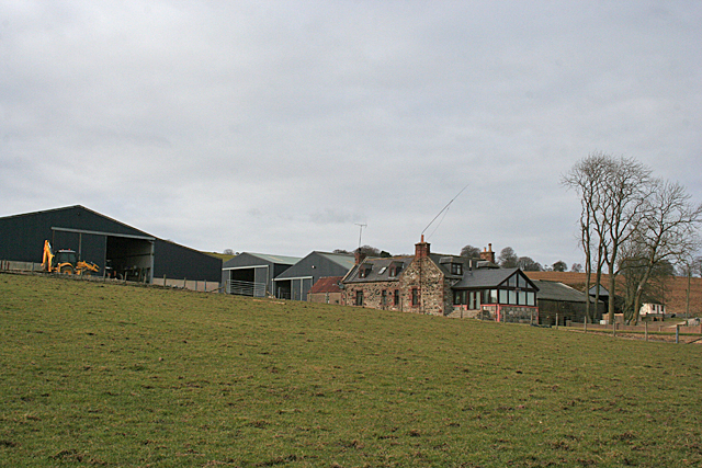
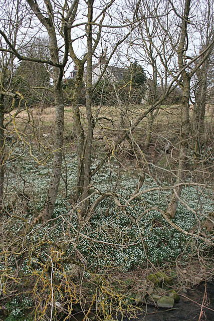
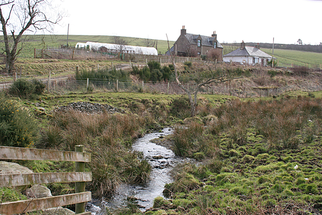
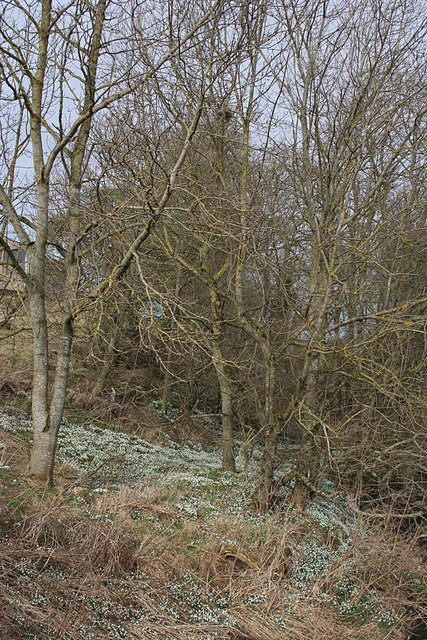
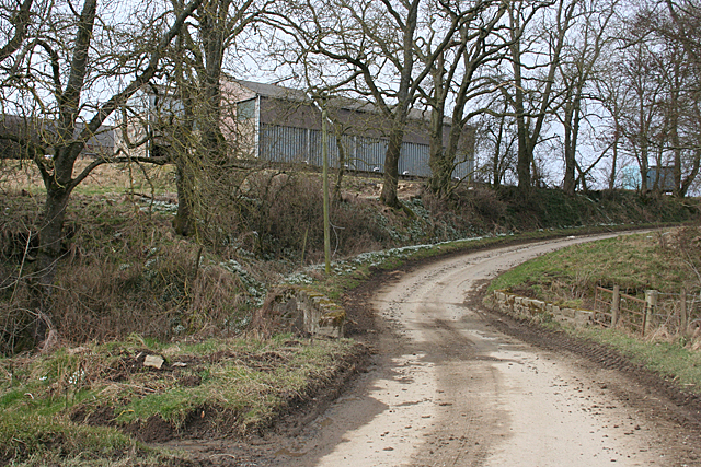
Images are sourced within 2km of 57.52308/-2.5658146 or Grid Reference NJ6648. Thanks to Geograph Open Source API. All images are credited.

Auldtown of Carnousie The farm house, to the right, is dwarfed by extensive modern buildings.
Auldtown of Carnousie
The farm house, to the right, is dwarfed by extensive modern buildings.
Craignetherty Thanks to the lie of the land the 500 metres or so of land in this square isn't seen from here, and the eye is drawn across the river and into the next square to the farm buildings at Craignetherty. On the skyline at left is Clunie Hill. The name Clunie (or Cluny, Clunas) is fairly common and is from a Gaelic word meaning 'slope'.
Craignetherty
Thanks to the lie of the land the 500 metres or so of land in this square isn't seen from here, and the eye is drawn across the river and into the next square to the farm buildings at Craignetherty. On the skyline at left is Clunie Hill. The name Clunie (or Cluny, Clunas) is fairly common and is from a Gaelic word meaning 'slope'.
Burn of Auchininna Looking downstream from the bridge at South Aunchininna.
Burn of Auchininna
Looking downstream from the bridge at South Aunchininna.
North Auchininna Farm house and steading. There is a long aerial on the house, and I was amused to see a 'Merry Christmas' banner still on the gable of the conservatory.
North Auchininna
Farm house and steading. There is a long aerial on the house, and I was amused to see a 'Merry Christmas' banner still on the gable of the conservatory.
Snowdrops at South Auchininna There is a large swathe of snowdrops on the bank of the Burn of Auchininna.
Snowdrops at South Auchininna
There is a large swathe of snowdrops on the bank of the Burn of Auchininna.
Cottages at South Auchininna Cottages with polytunnels beside the Burn of Auchininna.
Cottages at South Auchininna
Cottages with polytunnels beside the Burn of Auchininna.
Snowdrops in Woodland A fine display of snowdrops in the woods at South Auchininna.
Snowdrops in Woodland
A fine display of snowdrops in the woods at South Auchininna.
South Auchininna The farm buildings stand above the road where it crosses the Burn of Auchininna.
South Auchininna
The farm buildings stand above the road where it crosses the Burn of Auchininna.
Woodland near Ardfour This square is almost all open fields, with just a couple of blocks of forest.
Woodland near Ardfour
This square is almost all open fields, with just a couple of blocks of forest.
Drainage Ditch A wide road, not shown on the maps, parallels the ditch.
Drainage Ditch
A wide road, not shown on the maps, parallels the ditch.
Farmland above Auchininna The fences shown on the 1:25,000 map have been removed to create a single field covering almost all of this square.
Farmland above Auchininna
The fences shown on the 1:25,000 map have been removed to create a single field covering almost all of this square.
Auchininna The fences around the stubble field have apparently been dug up. In the middle distance are South Auchininna, on the left, and North Auchininna, on the right.
Auchininna
The fences around the stubble field have apparently been dug up. In the middle distance are South Auchininna, on the left, and North Auchininna, on the right.
Gates at Laithers A double gate into a field beside the road to Mains of Laithers.
Gates at Laithers
A double gate into a field beside the road to Mains of Laithers.
Cottages near Mains of Laithers A pair of whitewashed cottages beside the road to Mains of Laithers.
Cottages near Mains of Laithers
A pair of whitewashed cottages beside the road to Mains of Laithers.
Looking towards Hill of Laithers The standing stone part way up the field is in the next square.
Looking towards Hill of Laithers
The standing stone part way up the field is in the next square.
A new hedge A hedge growing between a pair of protective fences.
A new hedge
A hedge growing between a pair of protective fences.
Road, Auchininna A new hedge has been planted on the southern side.
Road, Auchininna
A new hedge has been planted on the southern side.
Oilseed rape, Ardfour
Show me another place!

Berry Hill is located at Grid Ref: NJ6648 (Lat: 57.52308, Lng: -2.5658146)

Unitary Authority: Aberdeenshire

Police Authority: North East

What 3 Words

///having.limp.catchers. Near Aberchirder, Aberdeenshire

Nearby Locations

Brae of Maggie Berry Hill

Related Wikis

Bogton

Bogton is a rural area in Aberdeenshire, Scotland. To the south is Whitehill Wood and megalithic circle. == References ==

Whitehill Wood, Aberdeenshire

Whitehill Wood is a wood and megalithic stone circle in Aberdeenshire, Scotland, located off the B9025 road between Aberchirder and Turriff and between...

Inverkeithny

Inverkeithny is a village in the Formartine area of Aberdeenshire, Scotland. The village lies near where the Burn of Forgue flows into the River Deveron...

Dorlaithers Castle

Dorlaithers Castle was a castle about 2.5 miles (4.0 km) south-west of Turriff, Aberdeenshire, Scotland at Dorlaithers, south of the burn of Gask. It may...

Nearby Amenities

Located within 500m of 57.52308,-2.5658146
Berry Hill
Natural: peak
Lat/Long: 57.5232814/-2.5651307
Power: pole
Lat/Long: 57.5234831/-2.5716184
Power: pole
Lat/Long: 57.5249495/-2.5590912
Power: pole
Lat/Long: 57.52515/-2.5601822
Power: pole
Lat/Long: 57.5253621/-2.5613028
Power: pole
Lat/Long: 57.525567/-2.5624341
Power: pole
Lat/Long: 57.5257171/-2.5632296
Power: pole
Lat/Long: 57.5257661/-2.5635386
Power: pole
Lat/Long: 57.5259926/-2.5647855
Power: pole
Lat/Long: 57.5262148/-2.565992
Power: pole
Lat/Long: 57.5264356/-2.5672094
Power: pole
Lat/Long: 57.5266563/-2.5684294
Power: pole
Lat/Long: 57.5239918/-2.5708826
Power: pole
Lat/Long: 57.5245164/-2.5701225
Power: pole
Lat/Long: 57.5250276/-2.5693874
Power: pole
Lat/Long: 57.525548/-2.5686349
Power: pole
Lat/Long: 57.5260592/-2.5678863
The data included in this document is from www.openstreetmap.org. The data is made available under ODbL.

Have you been to Berry Hill?

Leave your review of Berry Hill below (or comments, questions and feedback).