Blackhall Forest
Wood, Forest in Kincardineshire
Scotland
Blackhall Forest
Blackhall Forest is a picturesque woodland area located in Kincardineshire, Scotland. Spread over an extensive area of approximately 1,500 acres, it is known for its diverse range of flora and fauna, making it a popular destination for nature enthusiasts and hikers.
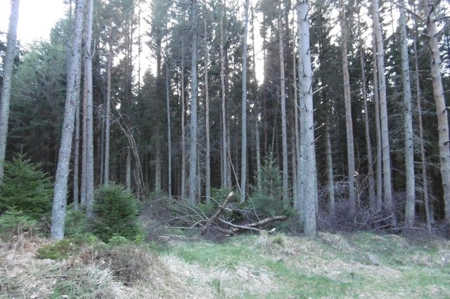
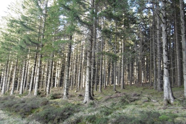
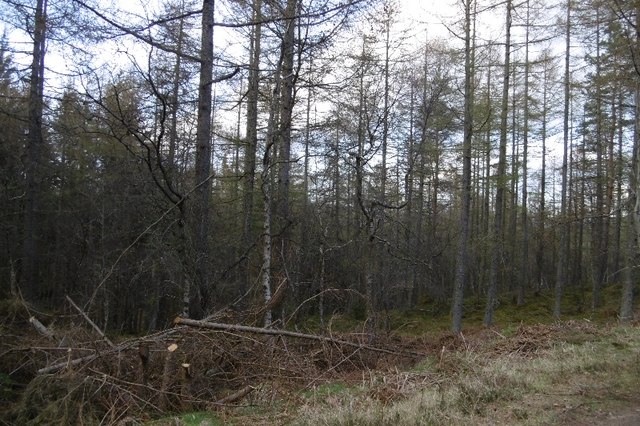
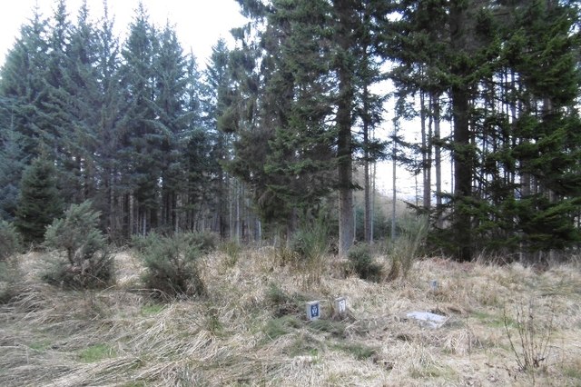
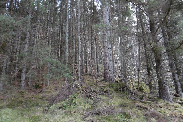
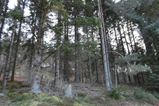
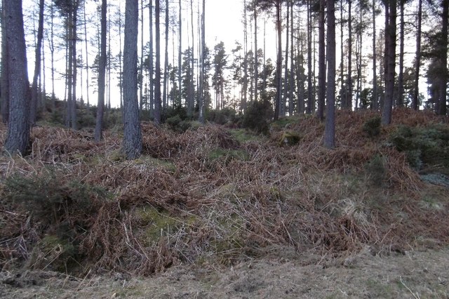
The forest predominantly consists of native trees, including oak, birch, and pine, which provide a rich habitat for various wildlife species. It is home to a wide array of birds, such as buzzards, woodpeckers, and owls, as well as mammals like red squirrels, roe deer, and badgers. The forest floor is adorned with a vibrant carpet of wildflowers during the spring and summer months, adding to its natural beauty.
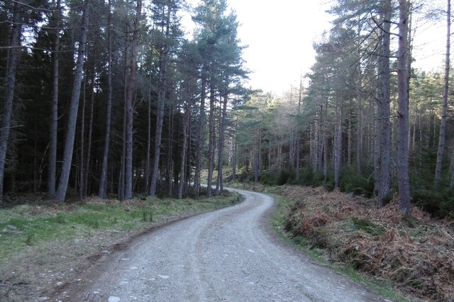
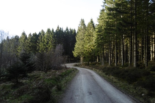
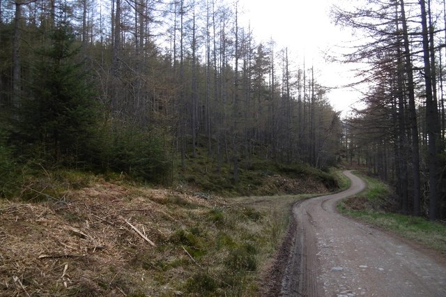
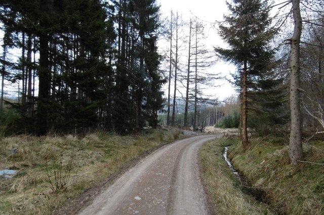
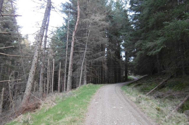
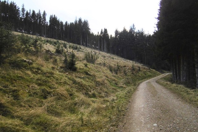
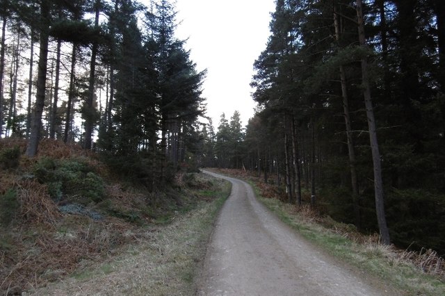
There are numerous walking trails and paths that wind through the forest, offering visitors the opportunity to explore its enchanting surroundings. These trails cater to all levels of fitness and provide breathtaking views of the surrounding countryside. Along the way, visitors may come across several strategically placed benches where they can pause, soak in the tranquility, and appreciate the stunning scenery.
Blackhall Forest is managed by the Forestry and Land Scotland, ensuring its preservation and maintenance. As part of their conservation efforts, the forest is periodically thinned to promote healthy tree growth and enhance biodiversity. The organization also offers educational programs and guided tours to educate visitors about the forest's ecology and importance in the local ecosystem.
Overall, Blackhall Forest is a captivating woodland retreat that offers an escape from the hustle and bustle of everyday life. Its natural beauty, diverse wildlife, and well-maintained trails make it an ideal destination for nature lovers and those seeking a peaceful and rejuvenating experience in the heart of Scotland.
If you have any feedback on the listing, please let us know in the comments section below.
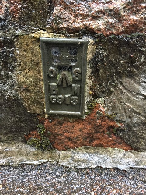
Blackhall Forest Images
Images are sourced within 2km of 57.042781/-2.5589018 or Grid Reference NO6694. Thanks to Geograph Open Source API. All images are credited.
Blackhall Forest is located at Grid Ref: NO6694 (Lat: 57.042781, Lng: -2.5589018)
Unitary Authority: Aberdeenshire
Police Authority: North East
What 3 Words
///gobbles.plodding.skater. Near Banchory, Aberdeenshire
Nearby Locations
Related Wikis

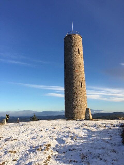
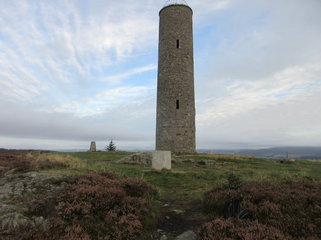
Scolty Hill
Scolty Hill is a small hill south of the Deeside town, Banchory. Its best known feature is the 20m tall tower monument, built in 1840 as a memorial to...

Strachan, Aberdeenshire
Strachan is a village in Aberdeenshire, Scotland that lies along the Water of Feugh, a tributary of the River Dee, Aberdeenshire, a few miles southwest...

Glen o' Dee Hospital
Glen o' Dee Hospital is situated in the west end of Banchory, Aberdeenshire, Scotland. It is a small community hospital that provides services for the...
Kinneskie Road drill hall, Banchory
The Kinneskie Road drill hall is a former military installation near Banchory, Scotland. == History == The building was designed as the headquarters of...
Related Videos

Scolty Forest Scotland Walking Tour 4K, Feb 2021
Scolty Forest Scotland Walking Tour 4K. This walk features nature sounds in background which is suitable for virtual walk, ...

Scolty Hill walk
Take a walk with me up to Scolty hill. Some bad language.
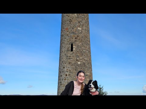
Scolty Hill, Aberdeenshire ⛰️🏴
After being stuck inside with a bug, we went for a much needed walk. ☺️ #weeloveadventure #scolty #scoltyhill #scoltytower ...

Have you been to Blackhall Forest?
Leave your review of Blackhall Forest below (or comments, questions and feedback).