Ireland Wood

Settlement in Yorkshire

England

Ireland Wood

Cookridge Methodist Church, Tinshill Road, Cookridge, Leeds The church is near the junction of Tinshill Road and Otley Old Road. This is the view from Tinshill Road looking south-east
Cookridge Methodist Church, Tinshill Road, Cookridge, Leeds Credit: Rich Tea

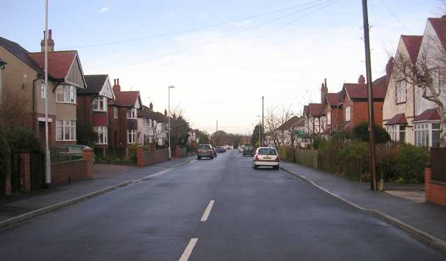
Ireland Wood is a suburban area located in the northwest part of Leeds, Yorkshire, England. It is situated approximately 5 miles from the city center and falls within the Adel and Wharfedale ward. Known for its peaceful and green surroundings, Ireland Wood is a popular residential area that offers a mix of housing options.

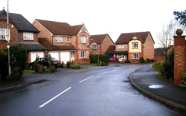
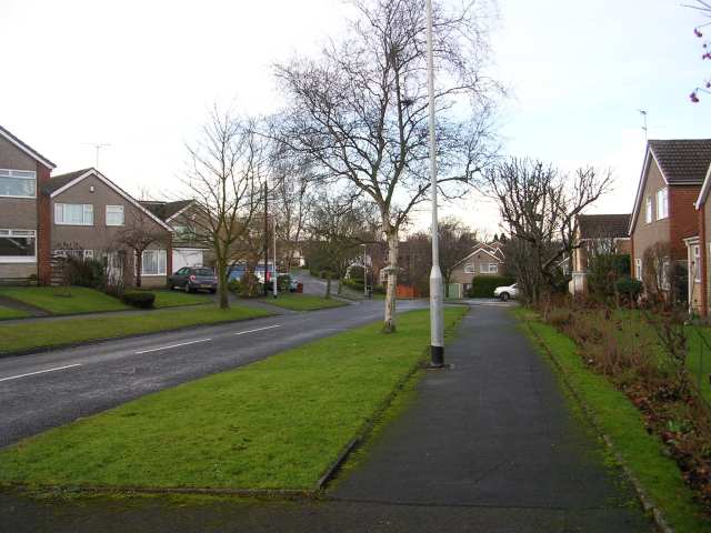
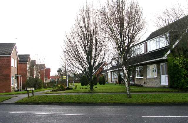
The area is primarily composed of residential streets lined with semi-detached houses, detached properties, and some modern apartment complexes. The housing stock in Ireland Wood is diverse, catering to a wide range of budgets and preferences. The neighborhood is well-maintained, with many properties featuring private gardens and driveways.

Ireland Wood benefits from its proximity to beautiful green spaces and parks. One such notable area is Ireland Wood itself, a local nature reserve that spans around 14 hectares. The reserve boasts a variety of habitats, including woodlands, meadows, and wetlands, making it an ideal spot for nature enthusiasts and walkers.

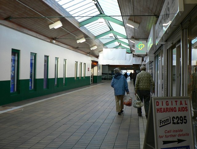
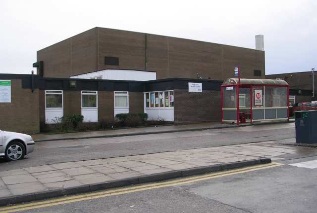
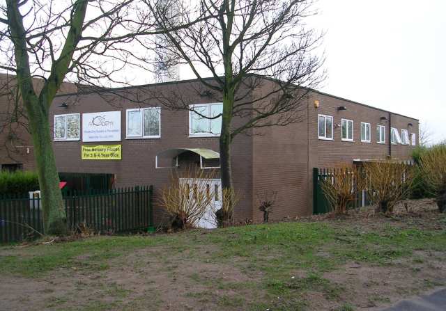
The area is well-served by amenities and facilities. Adel Primary School and Ralph Thoresby School are prominent educational institutions in the vicinity. Additionally, Ireland Wood Surgery provides healthcare services to the local community. Shopping needs can be met at nearby supermarkets and retail parks, including Holt Park Shopping Centre.

Transport links are convenient in Ireland Wood, with regular bus services connecting the area to Leeds city center and other nearby suburbs. For commuters, the neighborhood benefits from easy access to the A660 road, connecting to the wider motorway network.

Overall, Ireland Wood offers a tranquil and family-friendly environment with a range of amenities, making it an attractive place to live in Yorkshire.

If you have any feedback on the listing, please let us know in the comments section below.
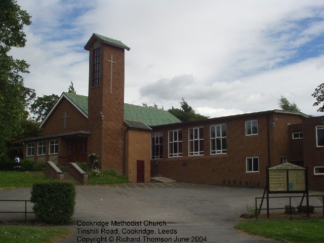
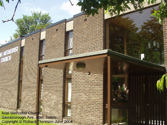
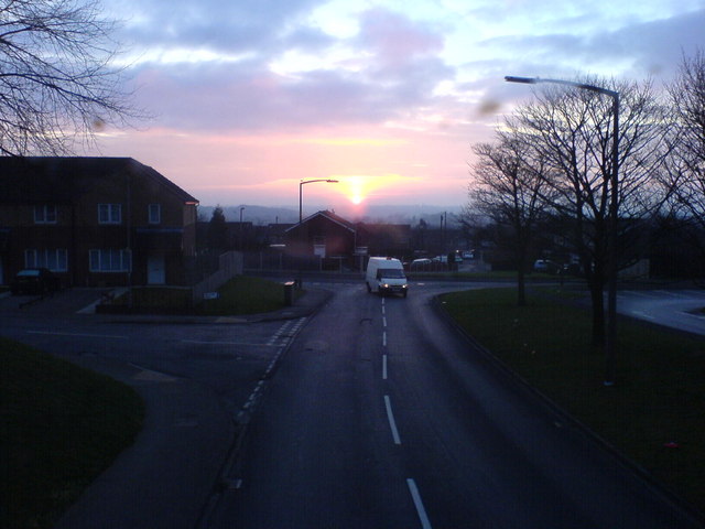
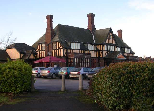
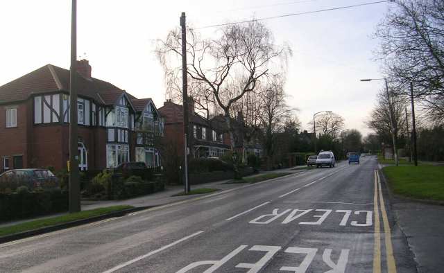
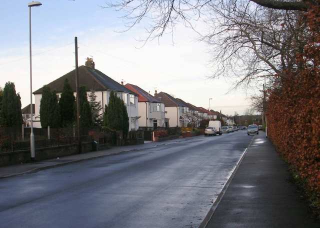
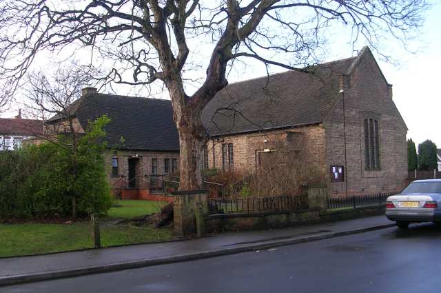
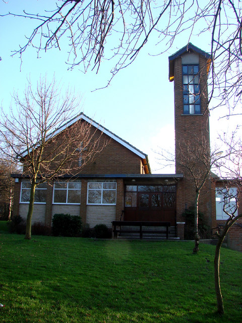
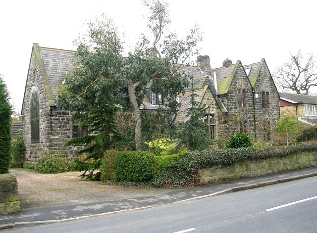
Ireland Wood Images

Images are sourced within 2km of 53.842546/-1.605572 or Grid Reference SE2638. Thanks to Geograph Open Source API. All images are credited.

Cookridge Methodist Church, Tinshill Road, Cookridge, Leeds The church is near the junction of Tinshill Road and Otley Old Road. This is the view from Tinshill Road looking south-east
Cookridge Methodist Church, Tinshill Road, Cookridge, Leeds
The church is near the junction of Tinshill Road and Otley Old Road. This is the view from Tinshill Road looking south-east
Adel Methodist Church, Holt Lane, Adel, Leeds
Sunrise at Holt Park. Even urban sprawl can have its charm given the right light.
Sunrise at Holt Park.
Even urban sprawl can have its charm given the right light.
Holt Park District Centre The central aisle of the centre is between the Leisure Centre on the left, and shops on the right. It was never beautiful, but it used to have more activity than it does now. I remember 20 years ago, there was a newsagents, a greengrocers, a travel agent and a large chemists shop. Now ASDA occupies most of the shops, and the 2 shops remaining down this end are the opticians and a smaller chemist.
Redevelopment is planned, but I don't know how soon.
Holt Park District Centre
The central aisle of the centre is between the Leisure Centre on the left, and shops on the right. It was never beautiful, but it used to have more activity than it does now. I remember 20 years ago, there was a newsagents, a greengrocers, a travel agent and a large chemists shop. Now ASDA occupies most of the shops, and the 2 shops remaining down this end are the opticians and a smaller chemist. Redevelopment is planned, but I don't know how soon.
The Lawnswood Arms - Otley Road
Gainsbro Avenue
Gainsbro Avenue
Adel Methodist Church Hall - Gainsbro Avenue
Adel Methodist Church - Holt Lane
Gainsbro Drive - Holt Lane
Chestnut Drive - Holt Lane
Holt Park Approach
Holt Park Approach
Holt Park Health Centre
High Field Surgery - Holt Park
Kids Academy - Holt Park
Cookridge Methodist Church
The Old School - Church Lane
Show me another place!

Ireland Wood is located at Grid Ref: SE2638 (Lat: 53.842546, Lng: -1.605572)

Division: West Riding

Unitary Authority: Leeds

Police Authority: West Yorkshire

What 3 Words

///expand.extend.fame. Near Horsforth, West Yorkshire

Related Wikis

Moor Grange County Secondary School

Moor Grange County Secondary School was an all-boys school located in the Leeds postal district of Leeds 16 at the junction of Parkstone Avenue and the...

Ireland Wood

Ireland Wood is a small residential area in north-west Leeds, West Yorkshire, England named after the Woodland Trust wood which it contains. It is approximately...

Moor Grange

Moor Grange Estate is a housing estate in the West Park area of Leeds, West Yorkshire, England, which was built in the 1950s on reclaimed farmland. Work...

Horsforth Woodside railway station

Horsforth Woodside was a proposed railway station that was to be built on the site of Woodside Quarry near Horsforth in West Yorkshire, England. It would...

Nearby Amenities

Located within 500m of 53.842546,-1.605572
Bus Stop
Leeds Spen Lane
Bay: yes
Bus: yes
Local Ref: 45010746
Naptan AtcoCode: 450010746
Naptan Bearing: SE
Naptan CommonName: Leeds Spen Lane
Naptan Crossing: New Adel Lane
Naptan Indicator: Stop 45010746
Naptan PlusbusZoneRef: LEEDS
Naptan ShortCommonName: New Adel Lane
Naptan Street: Otley Old Road
Naptan Verified: no
Public Transport: platform
Shelter: yes
Source: naptan_import
Lat/Long: 53.8457619/-1.6007085
Bus Stop
Iveson Drive Parkstone Grove
Bench: yes
Bus: yes
Local Ref: 45010747
Naptan AtcoCode: 450010747
Naptan Bearing: E
Naptan CommonName: Iveson Drive Parkstone Grove
Naptan Crossing: Parkstone Grove
Naptan Indicator: Stop 45010747
Naptan Notes: 3P ttcase still to fit
Naptan PlusbusZoneRef: LEEDS
Naptan ShortCommonName: Parkstone Grove
Naptan Street: Iveson Drive
Naptan Verified: no
Public Transport: platform
Shelter: yes
Source: naptan_import
Lat/Long: 53.8424968/-1.6054359
Bus Stop
Iveson Drive Spen Lane
Bench: no
Bus: yes
Local Ref: 45010748
Naptan AtcoCode: 450010748
Naptan Bearing: W
Naptan CommonName: Iveson Drive Spen Lane
Naptan Crossing: Spen Lane
Naptan Indicator: Stop 45010748
Naptan PlusbusZoneRef: LEEDS
Naptan ShortCommonName: Spen Lane
Naptan Street: Iveson Drive
Naptan Verified: no
Public Transport: platform
Shelter: yes
Source: naptan_import
Lat/Long: 53.8419631/-1.6016869
Bus Stop
Iveson Drive Spen Lane
Bench: no
Bus: yes
Local Ref: 45010749
Naptan AtcoCode: 450010749
Naptan Bearing: E
Naptan CommonName: Iveson Drive Spen Lane
Naptan Crossing: Spen Lane
Naptan Indicator: Stop 45010749
Naptan PlusbusZoneRef: LEEDS
Naptan ShortCommonName: Spen Lane
Naptan Street: Iveson Drive
Naptan Verified: no
Public Transport: platform
Shelter: yes
Source: naptan_import
Lat/Long: 53.8420709/-1.6016707
Bus Stop
Spen Lane Wynford Mount
Bus: yes
Local Ref: 45010750
Naptan AtcoCode: 450010750
Naptan Bearing: S
Naptan CommonName: Spen Lane Wynford Mount
Naptan Crossing: Wynford Mount
Naptan Indicator: Stop 45010750
Naptan Notes: 3P still to be installed
Naptan PlusbusZoneRef: LEEDS
Naptan ShortCommonName: Wynford Mount
Naptan Street: Spen Lane
Naptan Verified: no
Public Transport: platform
Source: naptan_import
Lat/Long: 53.8391125/-1.6012733
Bus Stop
Silk Mill Way Iveson Drive
Bus: yes
Local Ref: 45011512
Naptan AtcoCode: 450011512
Naptan Bearing: E
Naptan CommonName: Silk Mill Way Iveson Drive
Naptan Crossing: Iveson Drive
Naptan Indicator: Stop 45011512
Naptan PlusbusZoneRef: LEEDS
Naptan ShortCommonName: Iveson Drive
Naptan Street: Silk Mill Way
Naptan Verified: no
Public Transport: platform
Source: naptan_import
Lat/Long: 53.8444114/-1.6109655
Bus Stop
Silk Mill Way Iveson Drive
Bus: yes
Local Ref: 45011521
Naptan AtcoCode: 450011521
Naptan Bearing: W
Naptan CommonName: Silk Mill Way Iveson Drive
Naptan Crossing: Iveson Drive
Naptan Indicator: Stop 45011521
Naptan PlusbusZoneRef: LEEDS
Naptan ShortCommonName: Iveson Drive
Naptan Street: Silk Mill Way
Naptan Verified: no
Public Transport: platform
Source: naptan_import
Lat/Long: 53.8441879/-1.6113476
Bus Stop
Spen Lane Wynford Mount
Bus: yes
Local Ref: 45011539
Naptan AtcoCode: 450011539
Naptan Bearing: N
Naptan CommonName: Spen Lane Wynford Mount
Naptan Crossing: Wynford Mount
Naptan Indicator: Stop 45011539
Naptan PlusbusZoneRef: LEEDS
Naptan ShortCommonName: Wynford Mount
Naptan Street: Spen Lane
Naptan Verified: no
Public Transport: platform
Source: naptan_import
Lat/Long: 53.8390049/-1.6013503
Bus Stop
Iveson Approach Iveson Drive
Bus: yes
Local Ref: 45011541
Naptan AtcoCode: 450011541
Naptan Bearing: SW
Naptan CommonName: Iveson Approach Iveson Drive
Naptan Crossing: Iveson Drive
Naptan Indicator: Stop 45011541
Naptan PlusbusZoneRef: LEEDS
Naptan ShortCommonName: Iveson Drive
Naptan Street: Iveson Approach
Naptan Verified: no
Public Transport: platform
Source: naptan_import
Lat/Long: 53.8437308/-1.6089656
Bus Stop
Iveson Drive Parkstone Grove
Bus: yes
Local Ref: 45011542
Naptan AtcoCode: 450011542
Naptan Bearing: W
Naptan CommonName: Iveson Drive Parkstone Grove
Naptan Crossing: Parkstone Grove
Naptan Indicator: Stop 45011542
Naptan Landmark: School
Naptan PlusbusZoneRef: LEEDS
Naptan ShortCommonName: Parkstone Grove
Naptan Street: Iveson Drive
Naptan Verified: no
Public Transport: platform
Source: naptan_import
Lat/Long: 53.8425164/-1.605922
Bus Stop
Iveson Approach Iveson Grove
Bench: no
Bin: yes
Bus: yes
Lit: yes
Local Ref: 45011543
Naptan AtcoCode: 450011543
Naptan Bearing: NE
Naptan CommonName: Iveson Approach Iveson Grove
Naptan Crossing: Iveson Grove
Naptan Indicator: Stop 45011543
Naptan Landmark: Royal Mail Sorting Office
Naptan PlusbusZoneRef: LEEDS
Naptan ShortCommonName: Iveson Grove
Naptan Street: Iveson Approach
Naptan Verified: no
Public Transport: platform
Shelter: no
Source: naptan_import
Tactile Paving: no
Lat/Long: 53.8460133/-1.6060716
Bus Stop
Iveson Approach Iveson Crescent
Bus: yes
Local Ref: 45011544
Naptan AtcoCode: 450011544
Naptan Bearing: NE
Naptan CommonName: Iveson Approach Iveson Crescent
Naptan Crossing: Iveson Crescent
Naptan Indicator: Stop 45011544
Naptan PlusbusZoneRef: LEEDS
Naptan ShortCommonName: Iveson Crescent
Naptan Street: Iveson Approach
Naptan Verified: no
Public Transport: platform
Source: naptan_import
Lat/Long: 53.8441705/-1.6087487
Bus Stop
Iveson Approach Otley Old Road
Bus: yes
Local Ref: 45011545
Naptan AtcoCode: 450011545
Naptan Bearing: NE
Naptan CommonName: Iveson Approach Otley Old Road
Naptan Crossing: Otley Old Road
Naptan Indicator: Stop 45011545
Naptan Landmark: School
Naptan Notes: Opp Wise Owl PH
Naptan PlusbusZoneRef: LEEDS
Naptan ShortCommonName: Otley Old Road
Naptan Street: Iveson Approach
Naptan Verified: no
Public Transport: platform
Shelter: no
Source: naptan_import
Lat/Long: 53.8468024/-1.6040877
Bus Stop
Iveson Approach Iveson Grove
Bench: yes
Bin: no
Bus: yes
Lit: yes
Local Ref: 45011546
Naptan AtcoCode: 450011546
Naptan Bearing: SW
Naptan CommonName: Iveson Approach Iveson Grove
Naptan Crossing: Iverson Grove
Naptan Indicator: Stop 45011546
Naptan Landmark: Sorting Office
Naptan PlusbusZoneRef: LEEDS
Naptan ShortCommonName: Iverson Grove
Naptan Street: Iveson Approach
Naptan Verified: no
Public Transport: platform
Shelter: yes
Source: naptan_import
Tactile Paving: no
Lat/Long: 53.8457983/-1.6063016
Bus Stop
Otley Old Road New Adel Road
Bench: no
Bus: yes
Local Ref: 45011549
Naptan AtcoCode: 450011549
Naptan Bearing: NW
Naptan CommonName: Otley Old Road New Adel Road
Naptan Crossing: New Adel Lane
Naptan Indicator: Stop 45011549
Naptan PlusbusZoneRef: LEEDS
Naptan ShortCommonName: New Adel Lane
Naptan Street: Otley Old Road
Naptan Verified: no
Public Transport: platform
Shelter: no
Source: naptan_import
Lat/Long: 53.8459171/-1.6014214
Bus Stop
Ring Road West Park Redvers Close
Bus: yes
Local Ref: 45013103
Naptan AtcoCode: 450013103
Naptan Bearing: W
Naptan CommonName: Ring Road West Park Redvers Close
Naptan Crossing: Redvers Close
Naptan Indicator: Stop 45013103
Naptan Landmark: Garage
Naptan PlusbusZoneRef: LEEDS
Naptan ShortCommonName: Redvers Close
Naptan Street: Ring Road Park West
Naptan Verified: no
Public Transport: platform
Source: naptan_import
Lat/Long: 53.8385707/-1.6059439
Bus Stop
Ring Road West Park Redvers Close
Bus: yes
Local Ref: 45013571
Naptan AtcoCode: 450013571
Naptan Bearing: E
Naptan CommonName: Ring Road West Park Redvers Close
Naptan Crossing: Redvers Court
Naptan Indicator: Stop 45013571
Naptan Landmark: Filling Station
Naptan PlusbusZoneRef: LEEDS
Naptan ShortCommonName: Redvers Close
Naptan Street: Ring Road Park West
Naptan Verified: no
Public Transport: platform
Source: naptan_import
Lat/Long: 53.8387593/-1.6059117
Bus Stop
Spen Lane Iveson Drive
Bus: yes
Local Ref: 45024478
Naptan AtcoCode: 450024478
Naptan Bearing: S
Naptan CommonName: Spen Lane Iveson Drive
Naptan Crossing: Iveson Drive
Naptan Indicator: Stop 45024478
Naptan PlusbusZoneRef: LEEDS
Naptan ShortCommonName: Iveson Drive
Naptan Street: Spen Lane
Naptan Verified: no
Public Transport: platform
Source: naptan_import
Lat/Long: 53.8422401/-1.6011828
Bus Stop
Spen Lane Spennithorpe Avenue
Bus: yes
Local Ref: 45025179
Naptan AtcoCode: 450025179
Naptan Bearing: N
Naptan CommonName: Spen Lane Spennithorpe Avenue
Naptan Crossing: Spennithorpe Avenue
Naptan Indicator: Stop 45025179
Naptan PlusbusZoneRef: LEEDS
Naptan ShortCommonName: Spennithorpe Lane
Naptan Street: Spen Lane
Naptan Verified: no
Public Transport: platform
Source: naptan_import
Lat/Long: 53.8441626/-1.6009061
Bus Stop
Spen Lane Iveson Drive
Bus: yes
Local Ref: 45024769
Naptan AtcoCode: 450024769
Naptan Bearing: N
Naptan CommonName: Spen Lane Iveson Drive
Naptan Crossing: Iveson Drive
Naptan Indicator: Stop 45024769
Naptan PlusbusZoneRef: LEEDS
Naptan ShortCommonName: Iveson Drive
Naptan Street: Spen Lane
Naptan Verified: no
Public Transport: platform
Source: naptan_import
Lat/Long: 53.8422944/-1.6013038
Bus Stop
Spen Lane Spennithorpe Avenue
Bus: yes
Local Ref: 45024770
Naptan AtcoCode: 450024770
Naptan Bearing: S
Naptan CommonName: Spen Lane Spennithorpe Avenue
Naptan Crossing: Spennithorne Avenue
Naptan Indicator: Stop 45024770
Naptan PlusbusZoneRef: LEEDS
Naptan ShortCommonName: Spennithorne Avenue
Naptan Street: Spen Lane
Naptan Verified: no
Public Transport: platform
Shelter: no
Source: naptan_import
Lat/Long: 53.8441801/-1.6007539
Parking
Parking: surface
Lat/Long: 53.8460526/-1.6078675
Turning Circle
Lat/Long: 53.8430821/-1.6065279
Turning Circle
Lat/Long: 53.8427104/-1.6023958
Turning Circle
Lat/Long: 53.845282/-1.6021101
Give Way
Direction: forward
Lat/Long: 53.8433228/-1.603401
Turning Circle
Lat/Long: 53.8415761/-1.6045084
Library
Source: OS_OpenData_StreetView
Lat/Long: 53.8459372/-1.6056275
Post Box
Brand: Royal Mail
Brand Wikidata: Q638098
Brand Wikipedia: en:Royal Mail
Operator: Royal Mail
Operator Wikidata: Q638098
Post Box Type: pillar
Ref: LS16 992
Royal Cypher: EIIR
Royal Cypher Wikidata: Q33102113
Lat/Long: 53.8386361/-1.6090512
Post Box
Brand: Royal Mail
Brand Wikidata: Q638098
Brand Wikipedia: en:Royal Mail
Operator: Royal Mail
Operator Wikidata: Q638098
Post Box Type: meter
Ref: LS16 16
Royal Cypher: EIIR
Royal Cypher Wikidata: Q33102113
Lat/Long: 53.8392235/-1.6045099
Post Box
Brand: Royal Mail
Brand Wikidata: Q638098
Brand Wikipedia: en:Royal Mail
Operator: Royal Mail
Operator Wikidata: Q638098
Post Box Type: pillar
Ref: LS16 655
Royal Cypher: EIIR
Royal Cypher Wikidata: Q33102113
Lat/Long: 53.8421727/-1.6014063
Post Box
Brand: Royal Mail
Brand Wikidata: Q638098
Brand Wikipedia: en:Royal Mail
Collection Times: Mo-Fr 17:00; Sa 10:30
Operator: Royal Mail
Operator Wikidata: Q638098
Post Box Type: pillar
Ref: LS16 902
Royal Cypher: GVIR
Royal Cypher Wikidata: Q33102169
Lat/Long: 53.8453474/-1.6073953
Post Box
Brand: Royal Mail
Brand Wikidata: Q638098
Brand Wikipedia: en:Royal Mail
Operator: Royal Mail
Operator Wikidata: Q638098
Post Box Type: lamp
Ref: LS16 968
Royal Cypher: EIIR
Royal Cypher Wikidata: Q33102113
Lat/Long: 53.8455748/-1.6008617
Kerb: raised
Lat/Long: 53.8454422/-1.6006078
Ireland Wood
Is In: Leeds, West Yorkshire, United Kingdom
Place: suburb
Start Date: 1950
Wikidata: Q6068559
Wikipedia: en:Ireland Wood
Lat/Long: 53.8445643/-1.6059009
Parking
Capacity Disabled: yes
Parking: surface
Lat/Long: 53.8442833/-1.6057522
Noexit: yes
Lat/Long: 53.8402294/-1.6042587
Cafe
Nj's Cafe
Addr City: Leeds
Addr Housenumber: 265
Addr Postcode: LS16 6LP
Addr Street: Iveson Drive
Cuisine: sandwich
Outdoor Seating: no
Lat/Long: 53.8421978/-1.6017894
Fast Food
Lucky Red
Addr City: Leeds
Addr Housenumber: 459
Addr Postcode: LS16 6LS
Addr Street: Spen Lane
Addr Suburb: West Park
Cuisine: chinese
Fhrs Id: 1604579
Takeaway: yes
Lat/Long: 53.8422826/-1.6015336
Fast Food
Topolo Pizza
Addr City: Leeds
Addr Housenumber: 230
Addr Postcode: LS16 6ER
Addr Street: Iveson Drive
Addr Suburb: Lawnswood
Cuisine: indian;pizza
Fhrs Id: 481477
Takeaway: yes
Lat/Long: 53.8418822/-1.6017509
Defibrillator
Defibrillator Location: External wall of Co-Op to left of main entrance
Emergency: defibrillator
Lat/Long: 53.8414486/-1.6016483
Cafe
Red Bean
Addr City: Leeds
Addr Housename: Gladstone House
Addr Place: Lawnswood Business Park
Addr Postcode: LS16 6SS
Addr Street: Redvers Close
Addr Suburb: Lawnswood
Fhrs Id: 1075901
Lat/Long: 53.8391649/-1.6042587
Mulk Eats
Addr City: Leeds
Addr Housenumber: 27
Addr Postcode: LS16 6ET
Addr Street: Parkstone Grove
Addr Suburb: West Park
Craft: caterer
Fhrs Id: 959757
Not Addr Postcode: LS16
Lat/Long: 53.840867/-1.6046999
Waste Basket
Collection Times: Mo-Fr
Ref UK Leedscc Bin: 2933
Lat/Long: 53.841801/-1.601529
Waste Basket
Collection Times: Mo-Fr
Ref UK Leedscc Bin: 2529
Lat/Long: 53.841426/-1.602508
Waste Basket
Collection Times: Mo-Fr
Ref UK Leedscc Bin: 5099
Lat/Long: 53.845878/-1.600617
Waste Basket
Collection Times: Mo-Fr
Ref UK Leedscc Bin: 1563
Lat/Long: 53.843388/-1.603671
Waste Basket
Collection Times: Mo-Fr
Ref UK Leedscc Bin: 1562
Lat/Long: 53.842528/-1.605159
Waste Basket
Collection Times: Mo-Fr
Ref UK Leedscc Bin: 5104
Lat/Long: 53.844419/-1.603912
Waste Basket
Collection Times: Mo-Fr
Ref UK Leedscc Bin: 1553
Lat/Long: 53.842424/-1.606012
Waste Basket
Collection Times: Mo-Fr
Ref UK Leedscc Bin: 1559
Lat/Long: 53.842995/-1.607265
Waste Basket
Collection Times: Mo-Fr
Ref UK Leedscc Bin: 1547
Lat/Long: 53.846757/-1.604404
Waste Basket
Collection Times: Mo-Fr
Ref UK Leedscc Bin: 1557
Lat/Long: 53.843277/-1.608375
Waste Basket
Collection Times: Mo-Fr
Ref UK Leedscc Bin: 1546
Lat/Long: 53.846111/-1.605918
Waste Basket
Collection Times: Mo-Fr
Ref UK Leedscc Bin: 1548
Lat/Long: 53.845916/-1.606338
Waste Basket
Collection Times: Mo-Fr
Ref UK Leedscc Bin: 1556
Lat/Long: 53.843443/-1.608759
Waste Basket
Collection Times: Mo-Fr
Ref UK Leedscc Bin: 1551
Lat/Long: 53.843974/-1.608625
Waste Basket
Collection Times: Mo-Fr
Ref UK Leedscc Bin: 1549
Lat/Long: 53.844176/-1.608474
Waste Basket
Collection Times: Mo-Fr
Ref UK Leedscc Bin: 1554
Lat/Long: 53.843797/-1.608777
Waste Basket
Collection Times: Mo-Fr
Ref UK Leedscc Bin: 1550
Lat/Long: 53.843974/-1.608711
Waste Basket
Collection Times: Mo-Fr
Ref UK Leedscc Bin: 1555
Lat/Long: 53.843596/-1.609014
Waste Basket
Collection Times: Mo-Fr
Ref UK Leedscc Bin: 2895
Lat/Long: 53.844262/-1.61155
Crossing
Lat/Long: 53.8387798/-1.6048953
Crossing
Lat/Long: 53.8386677/-1.6052823
Crossing
Crossing: marked
Crossing Markings: yes
Lat/Long: 53.8433224/-1.6040892
Crossing
Crossing: marked
Crossing Markings: yes
Lat/Long: 53.8431995/-1.6045709
Generator Method: photovoltaic
Generator Output Electricity: yes
Generator Source: solar
Generator Type: solar_photovoltaic_panel
Power: generator
Lat/Long: 53.8430429/-1.6037453
Crossing
Crossing: unmarked
Crossing Island: no
Crossing Markings: no
Kerb: flush
Tactile Paving: yes
Lat/Long: 53.8429127/-1.6071765
Generator Method: photovoltaic
Generator Output Electricity: yes
Generator Source: solar
Generator Type: solar_photovoltaic_panel
Power: generator
Lat/Long: 53.8426905/-1.607206
Crossing
Crossing: unmarked
Crossing Island: no
Crossing Markings: no
Kerb: flush
Tactile Paving: yes
Lat/Long: 53.8435655/-1.6091741
Otley Old Road New Adel Road
Bus: yes
Public Transport: stop_position
Lat/Long: 53.8459564/-1.6013957
Leeds Spen Lane
Bus: yes
Local Ref: 45010746
Public Transport: stop_position
Lat/Long: 53.8457306/-1.6007439
Iveson Approach Otley Old Road
Bus: yes
Public Transport: stop_position
Lat/Long: 53.8467561/-1.6040484
Give Way
Lat/Long: 53.8387008/-1.6073054
Crossing
Crossing: marked
Lat/Long: 53.8387439/-1.6073323
Crossing
Crossing: marked
Lat/Long: 53.8387433/-1.6071593
Recycling
Recycling Glass: no
Recycling Glass Bottles: yes
Recycling Type: container
Lat/Long: 53.8456342/-1.600918
Recycling
Recycling Glass: no
Recycling Glass Bottles: yes
Recycling Type: container
Lat/Long: 53.8456204/-1.6009356
Recycling
Recycling Glass: no
Recycling Glass Bottles: yes
Recycling Type: container
Lat/Long: 53.8456504/-1.6008999
Crossing
Crossing: uncontrolled
Crossing Island: yes
Lat/Long: 53.8389322/-1.6046124
Dentist
Lawnswood Dental Care
Healthcare: dentist
Lat/Long: 53.8456218/-1.6015953
Give Way
Direction: backward
Lat/Long: 53.8433237/-1.6035151
The data included in this document is from www.openstreetmap.org. The data is made available under ODbL.

Have you been to Ireland Wood?

Leave your review of Ireland Wood below (or comments, questions and feedback).