Lawnswood

Settlement in Yorkshire

England

Lawnswood

St John The Baptist Church, Church Lane, Adel, Leeds This is one of the oldest churches in the Leeds area, dating back to Norman times (11th-12th century). Unusually for such an old church, it was not developed, enlarged or extended in Victorian times.
St John The Baptist Church, Church Lane, Adel, Leeds Credit: Rich Tea

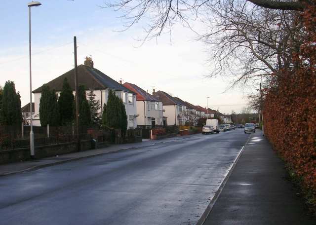
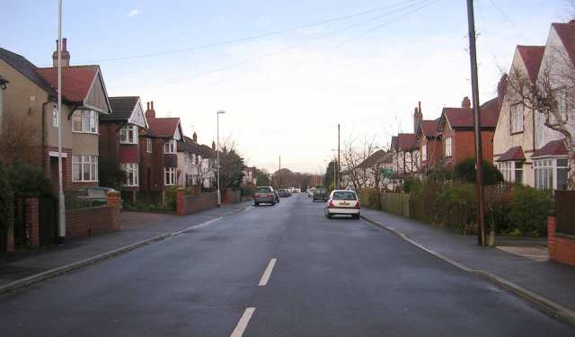
Lawnswood is a suburban area situated in the city of Leeds, West Yorkshire, England. It is a popular residential location, known for its leafy streets and attractive properties. The neighborhood is located approximately 4 miles north-west of Leeds city center and is surrounded by other affluent areas such as Adel, Tinshill, and Cookridge.

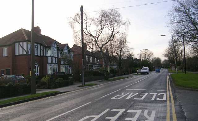
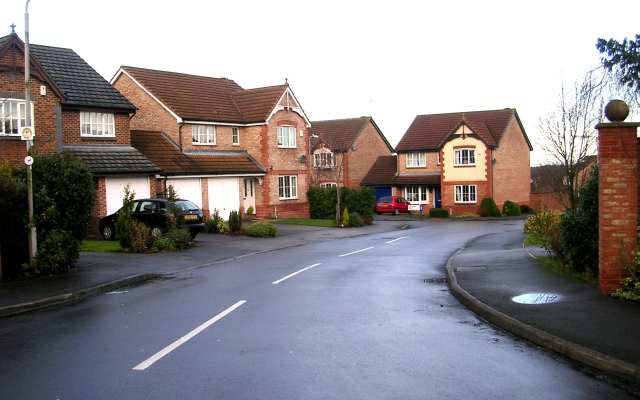
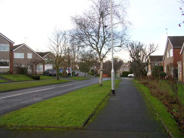
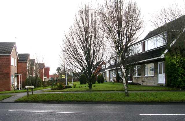
Lawnswood is primarily a residential area, characterized by a mix of detached and semi-detached houses, along with a few apartment complexes. The properties in this area are highly sought after due to their spaciousness and proximity to local amenities. The neighborhood boasts several green spaces, including Lawnswood Cemetery and Lawnswood Park, which offer residents the opportunity to enjoy outdoor recreational activities.

The area benefits from excellent transport links, with regular bus services connecting Lawnswood to Leeds city center and other nearby areas. The neighborhood is also well-served by road networks, with the A660 and A6120 providing easy access to the city center and surrounding regions.

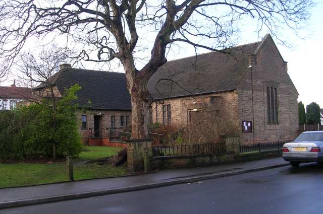
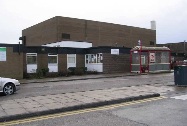
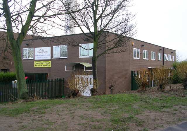
Lawnswood is home to several schools, including Lawnswood School and West Park Academy, which are highly regarded for their academic achievements and extracurricular programs. There are also a variety of shops, cafes, and restaurants in the vicinity, ensuring residents have easy access to everyday amenities.

Overall, Lawnswood offers a desirable residential setting with its pleasant surroundings, convenient transport links, and a range of amenities, making it an attractive place to live in Yorkshire.

If you have any feedback on the listing, please let us know in the comments section below.
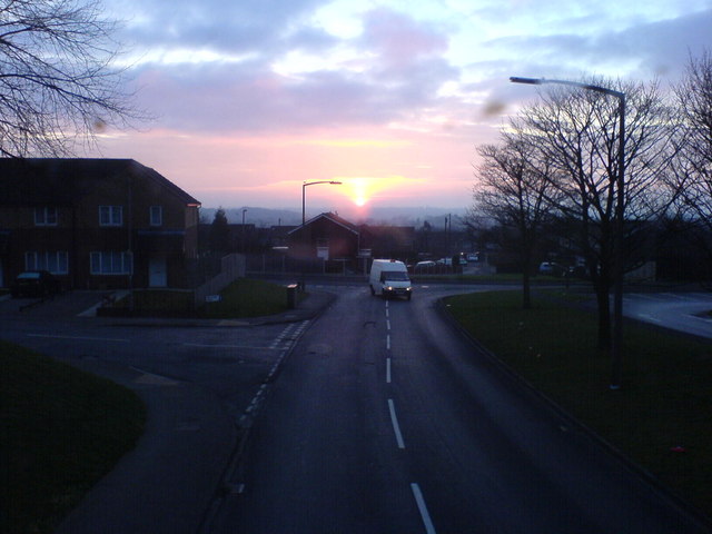
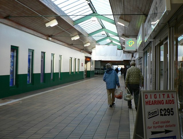
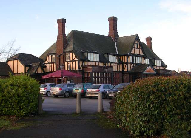
Lawnswood Images

Images are sourced within 2km of 53.842163/-1.598737 or Grid Reference SE2638. Thanks to Geograph Open Source API. All images are credited.

St John The Baptist Church, Church Lane, Adel, Leeds This is one of the oldest churches in the Leeds area, dating back to Norman times (11th-12th century). Unusually for such an old church, it was not developed, enlarged or extended in Victorian times.
St John The Baptist Church, Church Lane, Adel, Leeds
This is one of the oldest churches in the Leeds area, dating back to Norman times (11th-12th century). Unusually for such an old church, it was not developed, enlarged or extended in Victorian times.
Adel Methodist Church, Holt Lane, Adel, Leeds
St John the Baptist Church, Church Lane, Adel, Leeds This church has a lovely Norman doorway.
St John the Baptist Church, Church Lane, Adel, Leeds
This church has a lovely Norman doorway.
Road repairs, Long Causeway, Adel, Leeds At the north end of Long Causeway, by its junction with Stairfoot Lane and Back Church Lane
Road repairs, Long Causeway, Adel, Leeds
At the north end of Long Causeway, by its junction with Stairfoot Lane and Back Church Lane
Sunrise at Holt Park. Even urban sprawl can have its charm given the right light.
Sunrise at Holt Park.
Even urban sprawl can have its charm given the right light.
Holt Park District Centre The central aisle of the centre is between the Leisure Centre on the left, and shops on the right. It was never beautiful, but it used to have more activity than it does now. I remember 20 years ago, there was a newsagents, a greengrocers, a travel agent and a large chemists shop. Now ASDA occupies most of the shops, and the 2 shops remaining down this end are the opticians and a smaller chemist.
Redevelopment is planned, but I don't know how soon.
Holt Park District Centre
The central aisle of the centre is between the Leisure Centre on the left, and shops on the right. It was never beautiful, but it used to have more activity than it does now. I remember 20 years ago, there was a newsagents, a greengrocers, a travel agent and a large chemists shop. Now ASDA occupies most of the shops, and the 2 shops remaining down this end are the opticians and a smaller chemist. Redevelopment is planned, but I don't know how soon.
The Lawnswood Arms - Otley Road
Gainsbro Avenue
Gainsbro Avenue
Adel Methodist Church Hall - Gainsbro Avenue
Adel Methodist Church - Holt Lane
Gainsbro Drive - Holt Lane
Chestnut Drive - Holt Lane
Holt Park Approach
Holt Park Approach
Holt Park Health Centre
High Field Surgery - Holt Park
Kids Academy - Holt Park
Show me another place!

Lawnswood is located at Grid Ref: SE2638 (Lat: 53.842163, Lng: -1.598737)

Division: West Riding

Unitary Authority: Leeds

Police Authority: West Yorkshire

What 3 Words

///tiles.image.chains. Near Horsforth, West Yorkshire

Related Wikis

Ireland Wood

Ireland Wood is a small residential area in north-west Leeds, West Yorkshire, England named after the Woodland Trust wood which it contains. It is approximately...

Moor Grange County Secondary School

Moor Grange County Secondary School was an all-boys school located in the Leeds postal district of Leeds 16 at the junction of Parkstone Avenue and the...

Lawnswood High School

Lawnswood High School was a girls' grammar school in Lawnswood, north Leeds, West Yorkshire, England, close to the A660. == History == In 1854 the Leeds...

Leeds Modern School

Leeds Modern School was a school in Leeds, West Yorkshire, England. == History == Leeds Modern School was founded on 14 July 1845 in Rossington Street...

Related Videos

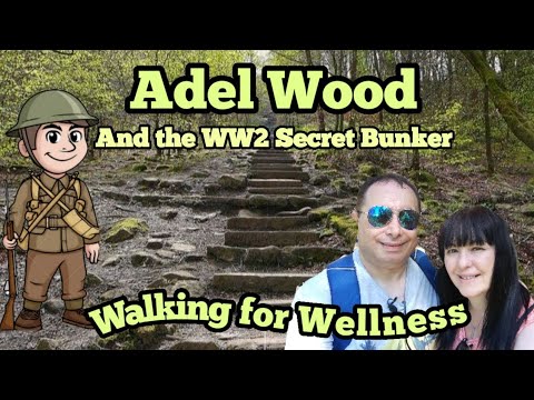
#woodland #walking #adventure #ww2 #nature What's that in the woods? Adel Wood, North Leeds

A walk through the lovely Adel Wood to the pre WW2 bunker and the Devil's Rock. Free car parking is available on King Lane and ...

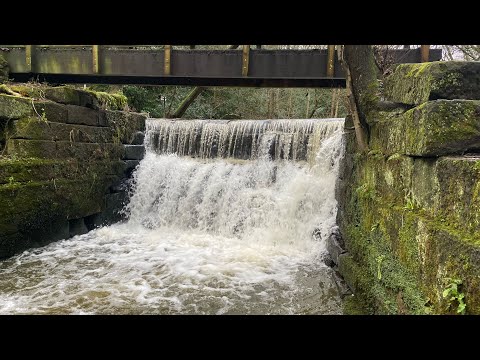
Awesome walking trails through Meanwood valley

Part of the Meanwood valley trail in Leeds-west Yorkshire.uk.this is a way marked footpath covering 7 miles in total from ...
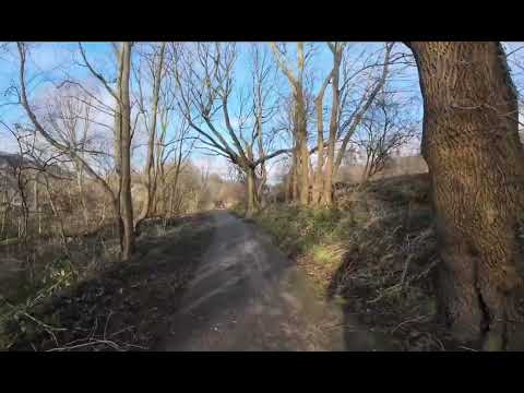
Nearby Amenities

Located within 500m of 53.842163,-1.598737
Bus Stop
Otley Old Road Lawnswood
Bench: yes
Bus: yes
Local Ref: 45010501
Naptan AtcoCode: 450010501
Naptan Bearing: S
Naptan CommonName: Otley Old Road Lawnswood
Naptan Crossing: Otley Old Road
Naptan Indicator: Stop 45010501
Naptan Landmark: Police Station
Naptan Notes: S4 conversion taken place awaiting photos
Naptan PlusbusZoneRef: LEEDS
Naptan ShortCommonName: Otley Old Road
Naptan Street: Otley Road
Naptan Verified: no
Public Transport: platform
Shelter: yes
Source: naptan_import
Lat/Long: 53.8403115/-1.5942862
Bus Stop
Leeds Spen Lane
Bay: yes
Bus: yes
Local Ref: 45010746
Naptan AtcoCode: 450010746
Naptan Bearing: SE
Naptan CommonName: Leeds Spen Lane
Naptan Crossing: New Adel Lane
Naptan Indicator: Stop 45010746
Naptan PlusbusZoneRef: LEEDS
Naptan ShortCommonName: New Adel Lane
Naptan Street: Otley Old Road
Naptan Verified: no
Public Transport: platform
Shelter: yes
Source: naptan_import
Lat/Long: 53.8457619/-1.6007085
Bus Stop
Iveson Drive Parkstone Grove
Bench: yes
Bus: yes
Local Ref: 45010747
Naptan AtcoCode: 450010747
Naptan Bearing: E
Naptan CommonName: Iveson Drive Parkstone Grove
Naptan Crossing: Parkstone Grove
Naptan Indicator: Stop 45010747
Naptan Notes: 3P ttcase still to fit
Naptan PlusbusZoneRef: LEEDS
Naptan ShortCommonName: Parkstone Grove
Naptan Street: Iveson Drive
Naptan Verified: no
Public Transport: platform
Shelter: yes
Source: naptan_import
Lat/Long: 53.8424968/-1.6054359
Bus Stop
Iveson Drive Spen Lane
Bench: no
Bus: yes
Local Ref: 45010748
Naptan AtcoCode: 450010748
Naptan Bearing: W
Naptan CommonName: Iveson Drive Spen Lane
Naptan Crossing: Spen Lane
Naptan Indicator: Stop 45010748
Naptan PlusbusZoneRef: LEEDS
Naptan ShortCommonName: Spen Lane
Naptan Street: Iveson Drive
Naptan Verified: no
Public Transport: platform
Shelter: yes
Source: naptan_import
Lat/Long: 53.8419631/-1.6016869
Bus Stop
Iveson Drive Spen Lane
Bench: no
Bus: yes
Local Ref: 45010749
Naptan AtcoCode: 450010749
Naptan Bearing: E
Naptan CommonName: Iveson Drive Spen Lane
Naptan Crossing: Spen Lane
Naptan Indicator: Stop 45010749
Naptan PlusbusZoneRef: LEEDS
Naptan ShortCommonName: Spen Lane
Naptan Street: Iveson Drive
Naptan Verified: no
Public Transport: platform
Shelter: yes
Source: naptan_import
Lat/Long: 53.8420709/-1.6016707
Bus Stop
Spen Lane Wynford Mount
Bus: yes
Local Ref: 45010750
Naptan AtcoCode: 450010750
Naptan Bearing: S
Naptan CommonName: Spen Lane Wynford Mount
Naptan Crossing: Wynford Mount
Naptan Indicator: Stop 45010750
Naptan Notes: 3P still to be installed
Naptan PlusbusZoneRef: LEEDS
Naptan ShortCommonName: Wynford Mount
Naptan Street: Spen Lane
Naptan Verified: no
Public Transport: platform
Source: naptan_import
Lat/Long: 53.8391125/-1.6012733
Bus Stop
Spen Lane Wynford Mount
Bus: yes
Local Ref: 45011539
Naptan AtcoCode: 450011539
Naptan Bearing: N
Naptan CommonName: Spen Lane Wynford Mount
Naptan Crossing: Wynford Mount
Naptan Indicator: Stop 45011539
Naptan PlusbusZoneRef: LEEDS
Naptan ShortCommonName: Wynford Mount
Naptan Street: Spen Lane
Naptan Verified: no
Public Transport: platform
Source: naptan_import
Lat/Long: 53.8390049/-1.6013503
Bus Stop
Iveson Drive Parkstone Grove
Bus: yes
Local Ref: 45011542
Naptan AtcoCode: 450011542
Naptan Bearing: W
Naptan CommonName: Iveson Drive Parkstone Grove
Naptan Crossing: Parkstone Grove
Naptan Indicator: Stop 45011542
Naptan Landmark: School
Naptan PlusbusZoneRef: LEEDS
Naptan ShortCommonName: Parkstone Grove
Naptan Street: Iveson Drive
Naptan Verified: no
Public Transport: platform
Source: naptan_import
Lat/Long: 53.8425164/-1.605922
Bus Stop
Otley Old Road New Adel Road
Bench: no
Bus: yes
Local Ref: 45011549
Naptan AtcoCode: 450011549
Naptan Bearing: NW
Naptan CommonName: Otley Old Road New Adel Road
Naptan Crossing: New Adel Lane
Naptan Indicator: Stop 45011549
Naptan PlusbusZoneRef: LEEDS
Naptan ShortCommonName: New Adel Lane
Naptan Street: Otley Old Road
Naptan Verified: no
Public Transport: platform
Shelter: no
Source: naptan_import
Lat/Long: 53.8459171/-1.6014214
Bus Stop
Otley Old Road The Grange Road
Bus: yes
Local Ref: 45011568
Naptan AtcoCode: 450011568
Naptan Bearing: N
Naptan CommonName: Otley Old Road The Grange Road
Naptan Crossing: Tthe Grange Road
Naptan Indicator: Stop 45011568
Naptan Landmark: Police Station
Naptan PlusbusZoneRef: LEEDS
Naptan ShortCommonName: The Grange Road
Naptan Street: Otley Old Road
Naptan Verified: no
Public Transport: platform
Source: naptan_import
Lat/Long: 53.8403278/-1.5950839
Bus Stop
Otley Old Road Spennithorpe Drive
Bench: no
Bus: yes
Local Ref: 45011569
Naptan AtcoCode: 450011569
Naptan Bearing: SE
Naptan CommonName: Otley Old Road Spennithorpe Drive
Naptan Crossing: Spennithorne Drive
Naptan Indicator: Stop 45011569
Naptan PlusbusZoneRef: LEEDS
Naptan ShortCommonName: Spennithorne Drive
Naptan Street: Otley Old Road
Naptan Verified: no
Public Transport: platform
Shelter: no
Source: naptan_import
Lat/Long: 53.8429993/-1.5970567
Bus Stop
Otley Old Road Spennithorpe Drive
Bench: no
Bus: yes
Local Ref: 45011570
Naptan AtcoCode: 450011570
Naptan Bearing: NW
Naptan CommonName: Otley Old Road Spennithorpe Drive
Naptan Crossing: Spennithorne Drive
Naptan Indicator: Stop 45011570
Naptan PlusbusZoneRef: LEEDS
Naptan ShortCommonName: Spennithorne Drive
Naptan Street: Otley Old Road
Naptan Verified: no
Public Transport: platform
Shelter: no
Source: naptan_import
Lat/Long: 53.843072/-1.597284
Bus Stop
Ring Road West Park Wynford Avenue
Bus: yes
Local Ref: 45013570
Naptan AtcoCode: 450013570
Naptan Bearing: SE
Naptan CommonName: Ring Road West Park Wynford Avenue
Naptan Crossing: Wynford Avenue
Naptan Indicator: Stop 45013570
Naptan Notes: Shelter awaiting re-connection Phil Roch Aware 18/12/07
Naptan PlusbusZoneRef: LEEDS
Naptan ShortCommonName: Wynford Avenue
Naptan Street: Ring Road West Park
Naptan Verified: no
Public Transport: platform
Source: naptan_import
Lat/Long: 53.8377284/-1.5986118
Bus Stop
Otley Road Otley Old Road
Bench: no
Bus: yes
Local Ref: 45011739
Naptan AtcoCode: 450011739
Naptan Bearing: N
Naptan CommonName: Otley Road Otley Old Road
Naptan Crossing: Otley Old Road
Naptan Indicator: Stop 45011739
Naptan Landmark: Police Station
Naptan PlusbusZoneRef: LEEDS
Naptan ShortCommonName: Otley Old Road
Naptan Street: Otley Road
Naptan Verified: no
Public Transport: platform
Shelter: no
Source: naptan_import
Lat/Long: 53.8409333/-1.5947665
Bus Stop
Otley Road Lawnswood Sports Club
Bench: no
Bin: yes
Bus: yes
Local Ref: 45011742
Naptan AtcoCode: 450011742
Naptan Bearing: N
Naptan CommonName: Otley Road Lawnswood Sports Club
Naptan Crossing: Twixt Otley Old Road & New Adel Lane
Naptan Indicator: Stop 45011742
Naptan Landmark: Bodington Hall Lawnswood Sports Club
Naptan PlusbusZoneRef: LEEDS
Naptan ShortCommonName: Lawnswood
Naptan Street: Otley Road
Naptan Verified: no
Public Transport: platform
Shelter: no
Source: naptan_import
Lat/Long: 53.8440307/-1.5937334
Bus Stop
Otley Road Lawnswood Sports Club
Bus: yes
Local Ref: 45011747
Naptan AtcoCode: 450011747
Naptan Bearing: S
Naptan CommonName: Otley Road Lawnswood Sports Club
Naptan Crossing: Nr-Opp Otley Old Road
Naptan Indicator: Stop 45011747
Naptan Landmark: Bodington Hall - Opp Lawnswood Sports Club
Naptan PlusbusZoneRef: LEEDS
Naptan ShortCommonName: Lawnswood
Naptan Street: Otley Road
Naptan Verified: no
Public Transport: platform
Source: naptan_import
Lat/Long: 53.8429342/-1.5937441
Bus Stop
Spen Lane Iveson Drive
Bus: yes
Local Ref: 45024478
Naptan AtcoCode: 450024478
Naptan Bearing: S
Naptan CommonName: Spen Lane Iveson Drive
Naptan Crossing: Iveson Drive
Naptan Indicator: Stop 45024478
Naptan PlusbusZoneRef: LEEDS
Naptan ShortCommonName: Iveson Drive
Naptan Street: Spen Lane
Naptan Verified: no
Public Transport: platform
Source: naptan_import
Lat/Long: 53.8422401/-1.6011828
Bus Stop
Spen Lane Spennithorpe Avenue
Bus: yes
Local Ref: 45025179
Naptan AtcoCode: 450025179
Naptan Bearing: N
Naptan CommonName: Spen Lane Spennithorpe Avenue
Naptan Crossing: Spennithorpe Avenue
Naptan Indicator: Stop 45025179
Naptan PlusbusZoneRef: LEEDS
Naptan ShortCommonName: Spennithorpe Lane
Naptan Street: Spen Lane
Naptan Verified: no
Public Transport: platform
Source: naptan_import
Lat/Long: 53.8441626/-1.6009061
Bus Stop
Spen Lane Iveson Drive
Bus: yes
Local Ref: 45024769
Naptan AtcoCode: 450024769
Naptan Bearing: N
Naptan CommonName: Spen Lane Iveson Drive
Naptan Crossing: Iveson Drive
Naptan Indicator: Stop 45024769
Naptan PlusbusZoneRef: LEEDS
Naptan ShortCommonName: Iveson Drive
Naptan Street: Spen Lane
Naptan Verified: no
Public Transport: platform
Source: naptan_import
Lat/Long: 53.8422944/-1.6013038
Bus Stop
Spen Lane Spennithorpe Avenue
Bus: yes
Local Ref: 45024770
Naptan AtcoCode: 450024770
Naptan Bearing: S
Naptan CommonName: Spen Lane Spennithorpe Avenue
Naptan Crossing: Spennithorne Avenue
Naptan Indicator: Stop 45024770
Naptan PlusbusZoneRef: LEEDS
Naptan ShortCommonName: Spennithorne Avenue
Naptan Street: Spen Lane
Naptan Verified: no
Public Transport: platform
Shelter: no
Source: naptan_import
Lat/Long: 53.8441801/-1.6007539
Turning Circle
Lat/Long: 53.8427104/-1.6023958
Turning Circle
Lat/Long: 53.845282/-1.6021101
Give Way
Direction: forward
Lat/Long: 53.8433228/-1.603401
Turning Circle
Lat/Long: 53.8415761/-1.6045084
Turning Circle
Lat/Long: 53.8386157/-1.5969139
Turning Circle
Lat/Long: 53.8393924/-1.597087
Turning Circle
Lat/Long: 53.8398119/-1.5965258
Man Made: tower
Tower Type: communication
Lat/Long: 53.8397827/-1.5928199
Post Box
Brand: Royal Mail
Brand Wikidata: Q638098
Brand Wikipedia: en:Royal Mail
Operator: Royal Mail
Operator Wikidata: Q638098
Post Box Type: pillar
Ref: LS16 607
Royal Cypher: GVIR
Royal Cypher Wikidata: Q33102169
Lat/Long: 53.8379594/-1.5989868
Post Box
Brand: Royal Mail
Brand Wikidata: Q638098
Brand Wikipedia: en:Royal Mail
Operator: Royal Mail
Operator Wikidata: Q638098
Post Box Type: meter
Ref: LS16 16
Royal Cypher: EIIR
Royal Cypher Wikidata: Q33102113
Lat/Long: 53.8392235/-1.6045099
Post Box
Brand: Royal Mail
Brand Wikidata: Q638098
Brand Wikipedia: en:Royal Mail
Operator: Royal Mail
Operator Wikidata: Q638098
Post Box Type: pillar
Ref: LS16 493
Lat/Long: 53.8410992/-1.5952249
Post Box
Brand: Royal Mail
Brand Wikidata: Q638098
Brand Wikipedia: en:Royal Mail
Operator: Royal Mail
Operator Wikidata: Q638098
Post Box Type: pillar
Ref: LS16 655
Royal Cypher: EIIR
Royal Cypher Wikidata: Q33102113
Lat/Long: 53.8421727/-1.6014063
Post Box
Brand: Royal Mail
Brand Wikidata: Q638098
Brand Wikipedia: en:Royal Mail
Operator: Royal Mail
Operator Wikidata: Q638098
Post Box Type: lamp
Ref: LS16 968
Royal Cypher: EIIR
Royal Cypher Wikidata: Q33102113
Lat/Long: 53.8455748/-1.6008617
Kerb: raised
Lat/Long: 53.8454422/-1.6006078
Noexit: yes
Lat/Long: 53.8402294/-1.6042587
Cafe
Nj's Cafe
Addr City: Leeds
Addr Housenumber: 265
Addr Postcode: LS16 6LP
Addr Street: Iveson Drive
Cuisine: sandwich
Outdoor Seating: no
Lat/Long: 53.8421978/-1.6017894
Fast Food
Lucky Red
Addr City: Leeds
Addr Housenumber: 459
Addr Postcode: LS16 6LS
Addr Street: Spen Lane
Addr Suburb: West Park
Cuisine: chinese
Fhrs Id: 1604579
Takeaway: yes
Lat/Long: 53.8422826/-1.6015336
Fast Food
Topolo Pizza
Addr City: Leeds
Addr Housenumber: 230
Addr Postcode: LS16 6ER
Addr Street: Iveson Drive
Addr Suburb: Lawnswood
Cuisine: indian;pizza
Fhrs Id: 481477
Takeaway: yes
Lat/Long: 53.8418822/-1.6017509
Defibrillator
Defibrillator Location: External wall of Co-Op to left of main entrance
Emergency: defibrillator
Lat/Long: 53.8414486/-1.6016483
Cafe
Red Bean
Addr City: Leeds
Addr Housename: Gladstone House
Addr Place: Lawnswood Business Park
Addr Postcode: LS16 6SS
Addr Street: Redvers Close
Addr Suburb: Lawnswood
Fhrs Id: 1075901
Lat/Long: 53.8391649/-1.6042587
Mulk Eats
Addr City: Leeds
Addr Housenumber: 27
Addr Postcode: LS16 6ET
Addr Street: Parkstone Grove
Addr Suburb: West Park
Craft: caterer
Fhrs Id: 959757
Not Addr Postcode: LS16
Lat/Long: 53.840867/-1.6046999
Fixme: only an approximate position. Can't find on aerial imagery
Man Made: mast
Source: survey
Tower Type: communication
Lat/Long: 53.8432004/-1.5942621
Waste Basket
Collection Times: Mo-Fr
Ref UK Leedscc Bin: 5103
Lat/Long: 53.841267/-1.595618
Waste Basket
Collection Times: Mo-Fr
Ref UK Leedscc Bin: 2737
Lat/Long: 53.837744/-1.598379
Waste Basket
Collection Times: Mo-Fr
Ref UK Leedscc Bin: 5102
Lat/Long: 53.841825/-1.596144
Waste Basket
Collection Times: Mo; Fr
Ref UK Leedscc Bin: 2445
Lat/Long: 53.844298/-1.593726
Waste Basket
Collection Times: Mo-Fr
Ref UK Leedscc Bin: 2403
Lat/Long: 53.843269/-1.5976
Waste Basket
Collection Times: Mo-Fr
Ref UK Leedscc Bin: 2933
Lat/Long: 53.841801/-1.601529
Waste Basket
Collection Times: Mo-Fr
Ref UK Leedscc Bin: 2529
Lat/Long: 53.841426/-1.602508
Waste Basket
Collection Times: Mo-Fr
Ref UK Leedscc Bin: 5099
Lat/Long: 53.845878/-1.600617
Waste Basket
Collection Times: Mo-Fr
Ref UK Leedscc Bin: 1563
Lat/Long: 53.843388/-1.603671
Waste Basket
Collection Times: Mo-Fr
Ref UK Leedscc Bin: 1562
Lat/Long: 53.842528/-1.605159
Waste Basket
Collection Times: Mo-Fr
Ref UK Leedscc Bin: 5104
Lat/Long: 53.844419/-1.603912
Waste Basket
Collection Times: Mo-Fr
Ref UK Leedscc Bin: 1553
Lat/Long: 53.842424/-1.606012
Crossing
Lat/Long: 53.838284/-1.6013355
Crossing
Lat/Long: 53.8383655/-1.6014181
Crossing
Lat/Long: 53.8384607/-1.6015496
Crossing
Lat/Long: 53.8384891/-1.6012175
Crossing
Lat/Long: 53.8380884/-1.6004482
Crossing
Lat/Long: 53.8381663/-1.6004608
Crossing
Lat/Long: 53.8382661/-1.6005791
Crossing
Lat/Long: 53.8380019/-1.6004937
Crossing
Lat/Long: 53.8380645/-1.600645
Crossing
Crossing: marked
Crossing Markings: yes
Lat/Long: 53.8433224/-1.6040892
Crossing
Crossing: marked
Crossing Markings: yes
Lat/Long: 53.8431995/-1.6045709
Generator Method: photovoltaic
Generator Output Electricity: yes
Generator Source: solar
Generator Type: solar_photovoltaic_panel
Power: generator
Lat/Long: 53.8430429/-1.6037453
Otley Old Road The Grange Road
Bus: yes
Public Transport: stop_position
Lat/Long: 53.8403522/-1.5949854
Otley Old Road Lawnswood
Bus: yes
Local Ref: 45010501
Public Transport: stop_position
Lat/Long: 53.8403242/-1.5944163
Otley Road Otley Old Road
Bus: yes
Public Transport: stop_position
Lat/Long: 53.8409325/-1.5946735
Otley Old Road Spennithorpe Drive
Bus: yes
Local Ref: 45011569
Public Transport: stop_position
Lat/Long: 53.8429843/-1.5971052
Otley Old Road Spennithorpe Drive
Bus: yes
Public Transport: stop_position
Lat/Long: 53.8430968/-1.5972252
Otley Old Road New Adel Road
Bus: yes
Public Transport: stop_position
Lat/Long: 53.8459564/-1.6013957
Leeds Spen Lane
Bus: yes
Local Ref: 45010746
Public Transport: stop_position
Lat/Long: 53.8457306/-1.6007439
Otley Road Lawnswood Sports Club
Bus: yes
Public Transport: stop_position
Lat/Long: 53.8429439/-1.593833
Otley Road Lawnswood Sports Club
Bus: yes
Public Transport: stop_position
Lat/Long: 53.8440137/-1.5936375
Generator Method: photovoltaic
Generator Output Electricity: yes
Generator Source: solar
Generator Type: solar_photovoltaic_panel
Power: generator
Lat/Long: 53.8444336/-1.5956619
Recycling
Recycling Glass: no
Recycling Glass Bottles: yes
Recycling Type: container
Lat/Long: 53.8456342/-1.600918
Recycling
Recycling Glass: no
Recycling Glass Bottles: yes
Recycling Type: container
Lat/Long: 53.8456204/-1.6009356
Recycling
Recycling Glass: no
Recycling Glass Bottles: yes
Recycling Type: container
Lat/Long: 53.8456504/-1.6008999
Direction: 170
Man Made: surveillance
Surveillance: public
Surveillance Type: ALPR
Surveillance Zone: traffic
Lat/Long: 53.8380187/-1.6008648
Crossing
Lat/Long: 53.8429834/-1.593685
Crossing
Lat/Long: 53.8420143/-1.5932928
Dentist
Lawnswood Dental Care
Healthcare: dentist
Lat/Long: 53.8456218/-1.6015953
Give Way
Direction: backward
Lat/Long: 53.8433237/-1.6035151
The data included in this document is from www.openstreetmap.org. The data is made available under ODbL.

Have you been to Lawnswood?

Leave your review of Lawnswood below (or comments, questions and feedback).