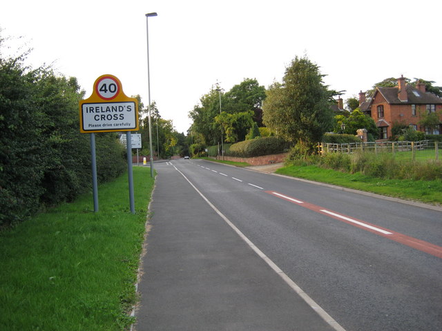
Ireland's Cross
Settlement in Shropshire
England
Ireland's Cross
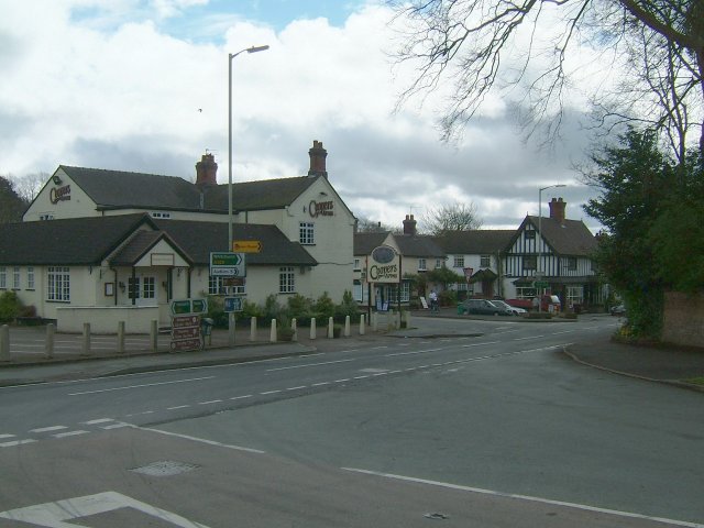
Cross, Shropshire is a small village located in the county of Shropshire, England. Situated near the border with Wales, it lies approximately 4 miles south of the market town of Oswestry and 15 miles northwest of the county town of Shrewsbury. The village is set in a rural landscape, surrounded by picturesque countryside and rolling hills.
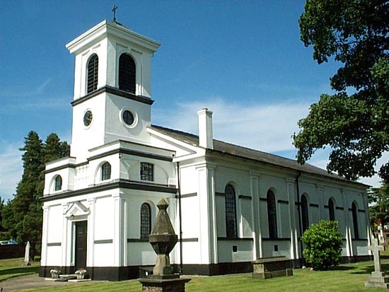
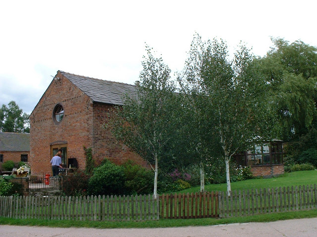
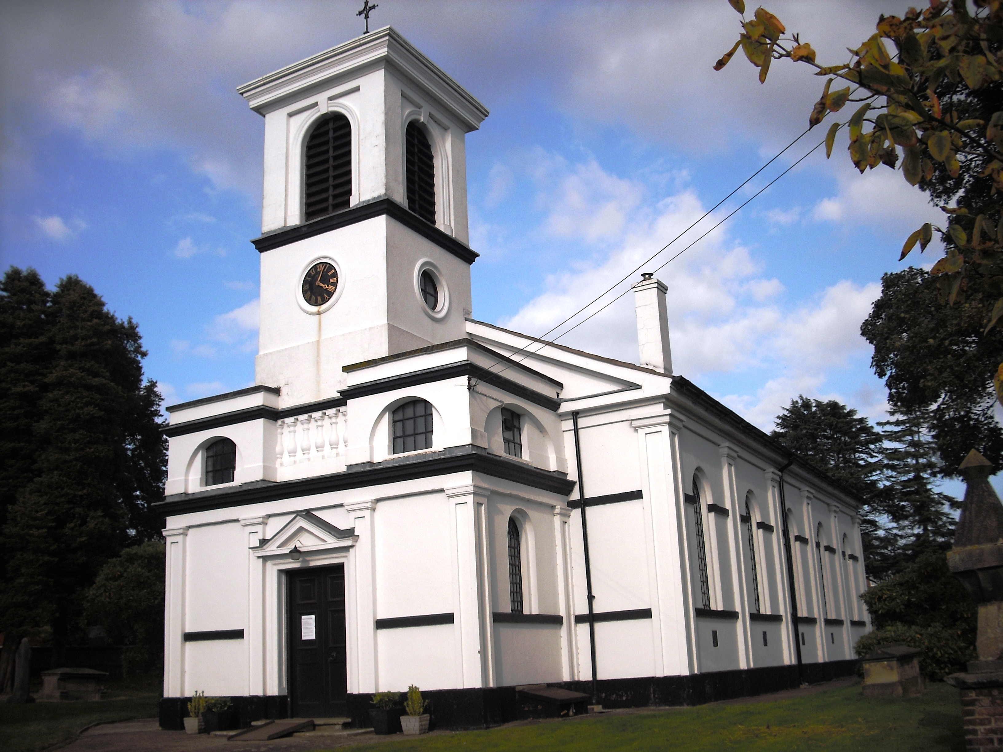
Cross is a close-knit community with a population of around 500 residents. The village is characterized by its charming and traditional English architecture, featuring a mix of period cottages, farmhouses, and modern homes. The heart of the village is centered around St. Andrew's Church, a beautiful medieval church dating back to the 13th century. The church serves as a focal point for both religious and community activities.
While Cross is a small village, it offers a range of amenities and services to its residents. These include a village hall, a primary school, a post office, and a local pub. The village also benefits from excellent transport links, with regular bus services connecting it to neighboring towns and villages.
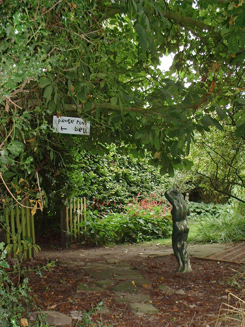
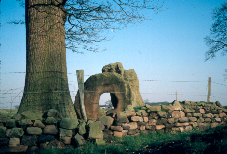
The surrounding countryside provides ample opportunities for outdoor enthusiasts, with various walking and cycling routes that showcase the area's natural beauty. The village is also within close proximity to several notable attractions, such as the historic Oswestry Castle, the Iron Age hillfort at Old Oswestry, and the stunning Pontcysyllte Aqueduct World Heritage Site.
Overall, Cross, Shropshire is a peaceful and idyllic village that offers a charming rural lifestyle, stunning landscapes, and a strong sense of community.
If you have any feedback on the listing, please let us know in the comments section below.
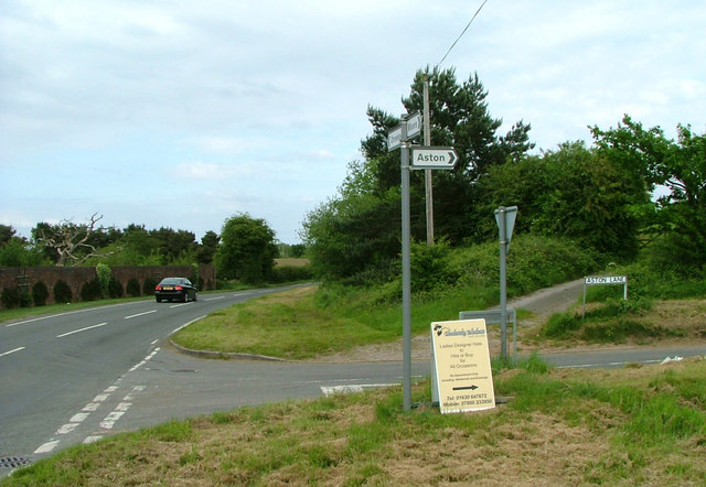
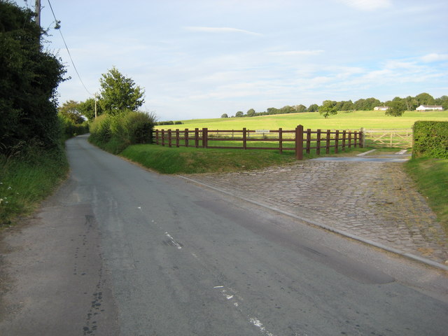
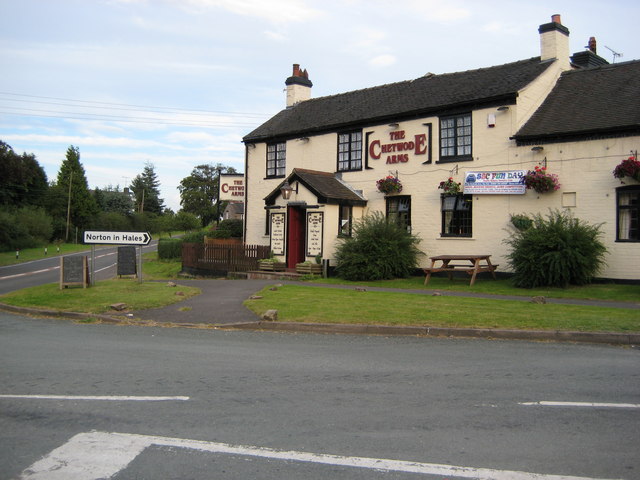
Ireland's Cross Images
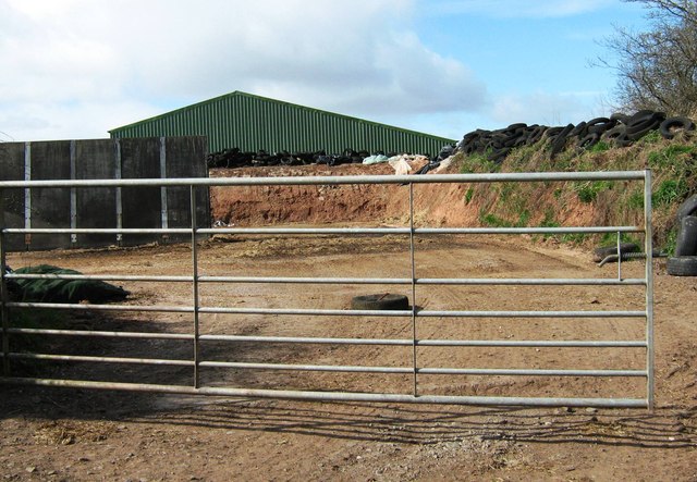
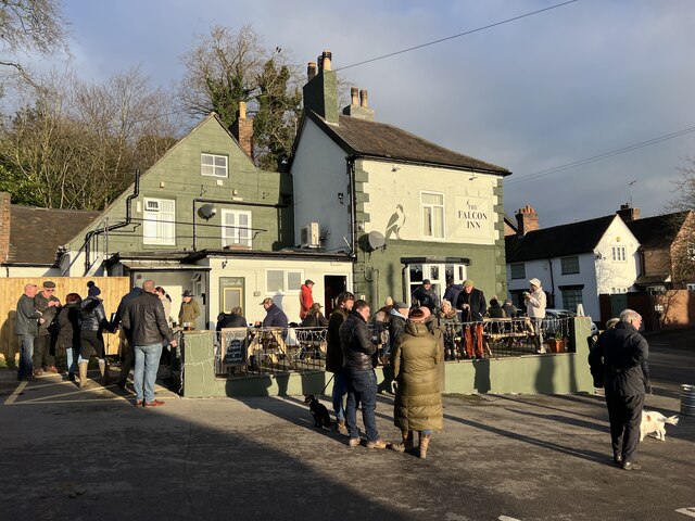
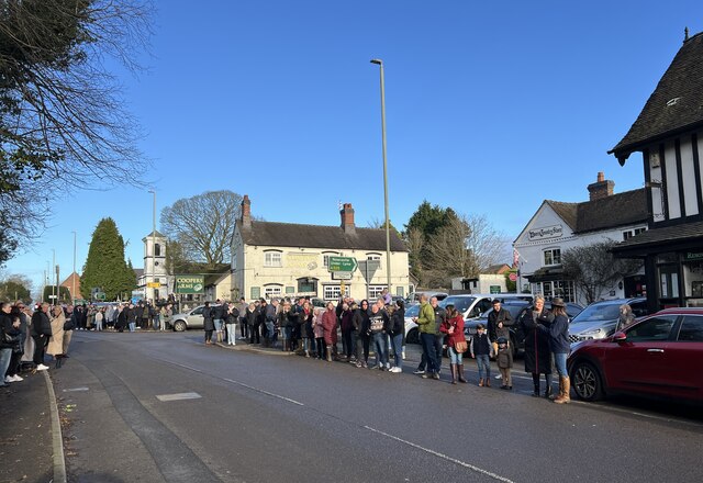
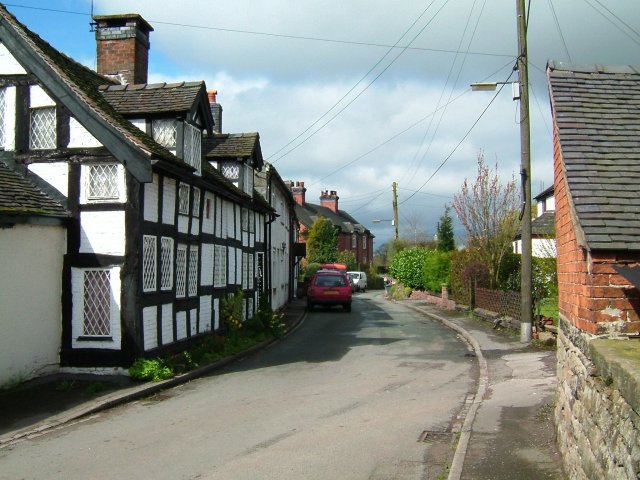
Images are sourced within 2km of 52.968907/-2.399765 or Grid Reference SJ7341. Thanks to Geograph Open Source API. All images are credited.


Ireland's Cross is located at Grid Ref: SJ7341 (Lat: 52.968907, Lng: -2.399765)
Unitary Authority: Shropshire
Police Authority: West Mercia
What 3 Words
///dictation.mouths.launcher. Near Madeley, Staffordshire
Nearby Locations
Related Wikis

Ireland's Cross
Ireland's Cross is a small hamlet in the civil parish of Woore in Shropshire, England. == References ==

Pipe Gate railway station
Pipe Gate was a railway station on the North Staffordshire Railway's Stoke to Market Drayton Line. == Construction == Construction was started on the Newcastle...
Woore
Woore is a village and civil parish in the north east of Shropshire, England, of about 3,950 acres (1,600 hectares). It had a population of 1,004 in the...

Dorrington Lane
Dorrington Lane is a hamlet near the village of Woore in northeast Shropshire, England. There are around 12 former council houses and two larger houses...

Knighton, Newcastle-under-Lyme
Knighton is a hamlet in north west Staffordshire, England, located in the Borough of Newcastle-under-Lyme. It is surrounded to the west, north and east...
Bearstone
Bearstone is a hamlet in Shropshire, England. For population details as taken at the 2011 census see Woore (Shropshire).

Onneley
Onneley is a hamlet in the Borough of Newcastle-under-Lyme, Staffordshire.Situated within Onneley is the local Golf and Cricket club. Onneley Cricket club...
Mucklestone
Mucklestone is a village and former civil parish, now in the parish of Loggerheads, in the Newcastle-under-Lyme district, in the county of Staffordshire...
Nearby Amenities
Located within 500m of 52.968907,-2.399765Have you been to Ireland's Cross?
Leave your review of Ireland's Cross below (or comments, questions and feedback).