Ireleth
Settlement in Lancashire Barrow-in-Furness
England
Ireleth

Ireleth is a small village located in the county of Lancashire, England. Situated on the Furness Peninsula, it lies within the borough of Barrow-in-Furness and has a population of approximately 2,500 residents. The village is part of the larger urban area known as Askam and Ireleth.
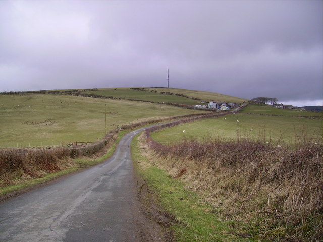
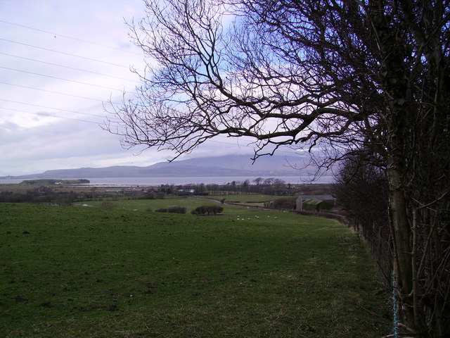
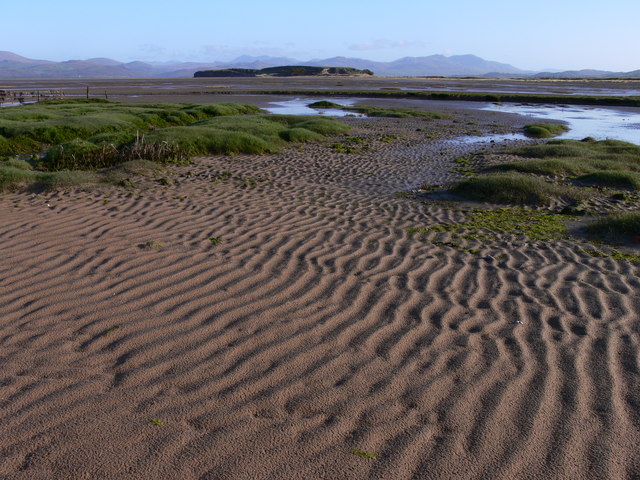
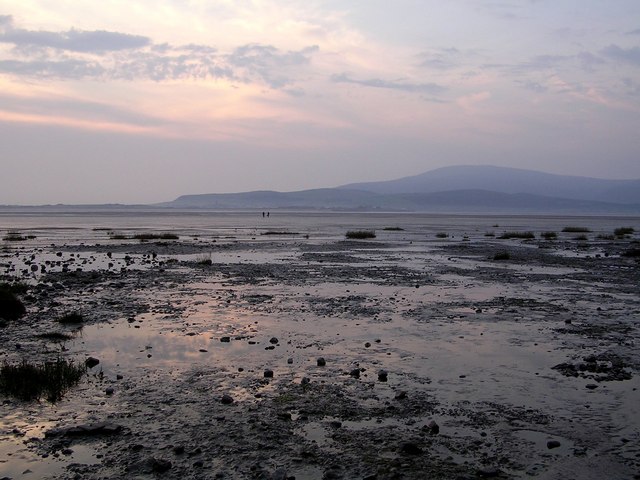
Ireleth is surrounded by stunning natural landscapes, with the Lake District National Park to the north and the Irish Sea to the west. This picturesque location offers residents and visitors alike an abundance of outdoor activities, such as hiking, cycling, and coastal walks.
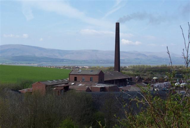
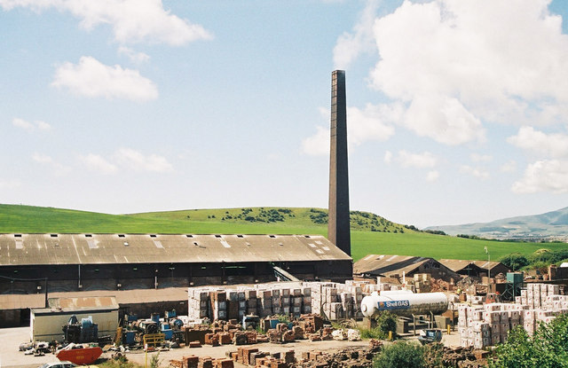
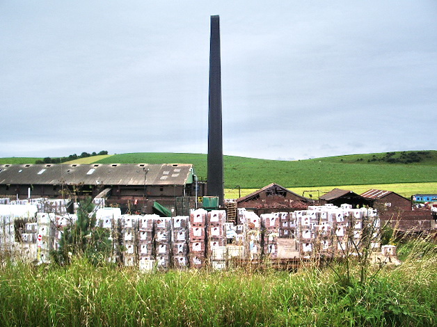
The village itself has a rich history, dating back to medieval times. It was originally an agricultural community, but with the discovery of iron ore in the nearby area, it became an important center for mining and iron production during the 19th and early 20th centuries. The remnants of this industrial heritage can still be seen today, with old mine buildings and structures scattered throughout the village.
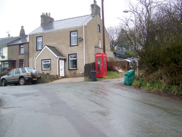
In terms of amenities, Ireleth has a primary school, a church, and a few local shops and pubs. For more extensive shopping and entertainment options, residents can easily access the nearby town of Barrow-in-Furness, which is just a short drive away.
Overall, Ireleth offers a tranquil and close-knit community, with stunning natural surroundings and a rich history. Its proximity to both the Lake District and the coast makes it an attractive destination for those seeking a balance between rural and coastal living.
If you have any feedback on the listing, please let us know in the comments section below.
Ireleth Images
Images are sourced within 2km of 54.18939/-3.196888 or Grid Reference SD2277. Thanks to Geograph Open Source API. All images are credited.


Ireleth is located at Grid Ref: SD2277 (Lat: 54.18939, Lng: -3.196888)
Administrative County: Cumbria
District: Barrow-in-Furness
Police Authority: Cumbria
What 3 Words
///devotion.videos.sleepless. Near Askam in Furness, Cumbria
Nearby Locations
Related Wikis

Askam and Ireleth
Askam and Ireleth is a civil parish close to Barrow-in-Furness in Westmorland and Furness, Cumbria, England. Historically part of Lancashire, it originally...

Askam railway station
Askam is a railway station on the Cumbrian Coast Line, which runs between Carlisle and Barrow-in-Furness. The station, situated 6 miles (10 km) north of...

Dalton North
Dalton North is a ward of the British town Dalton-in-Furness, within the Borough of Barrow-in-Furness. With 6,599 people residing in Dalton North in 2001...

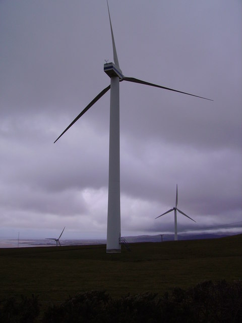
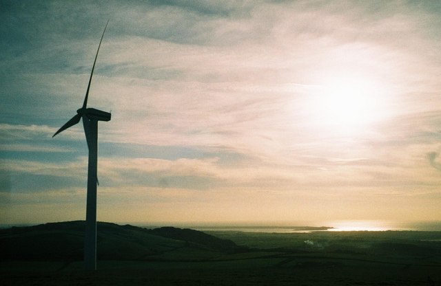
Askam and Ireleth Wind Farm
Askam and Ireleth Wind Farm is a group of 7 turbines located two kilometers east of the village Askam and Ireleth, on the southern slopes of Hare Slack...
Marton, Cumbria
Marton is a village on the Furness peninsula in the county of Cumbria, England. It shares a church, a parish council and primary school with the nearby...
South Lakes Safari Zoo
South Lakes Safari Zoo (formerly South Lakes Wild Animal Park) is a 51-acre (21 ha) zoo established in 1994 by David Gill, and located in Cumbria, England...
Furness Hoard
The Furness Hoard is a hoard of Viking silver coins and other artefacts dating to the 9th and 10th Century that was discovered in Furness, Cumbria, England...
Dowdales School
Dowdales School which was founded 1928, is a community, comprehensive school in Dalton-in-Furness, Cumbria for anyone, in the age range 11–16. There are...
Nearby Amenities
Located within 500m of 54.18939,-3.196888Have you been to Ireleth?
Leave your review of Ireleth below (or comments, questions and feedback).