Ireleth Reservoirs
Lake, Pool, Pond, Freshwater Marsh in Lancashire Barrow-in-Furness
England
Ireleth Reservoirs

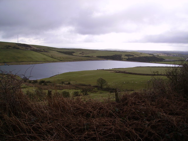
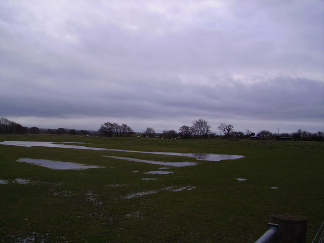
Ireleth Reservoirs, located in Lancashire, England, consist of a series of interconnected freshwater bodies that serve multiple purposes. Spanning an area of approximately 40 hectares, the reservoirs comprise a lake, pool, pond, and freshwater marsh. These bodies of water are managed by the local water authority and play a vital role in supplying water to the surrounding areas.
The main feature of Ireleth Reservoirs is the lake, which covers the largest portion of the area. It provides a picturesque setting for various recreational activities such as fishing, boating, and birdwatching. Anglers are attracted to the lake due to its abundant stocks of fish, including perch, pike, and roach.
Adjacent to the lake is a smaller pool, which serves as a habitat for various aquatic plants and animals. The pool is home to a diverse range of waterfowl, including mallards, coots, and swans. It offers a tranquil environment for visitors to relax and enjoy the natural beauty of the area.
A small pond can also be found within the reservoirs. This pond is an important breeding ground for amphibians, such as frogs and newts, and serves as a watering hole for local wildlife.
Lastly, the freshwater marsh at Ireleth Reservoirs is a designated nature reserve. This marshland provides a crucial habitat for a wide variety of plant and animal species, including reed beds, grasses, and wetland birds. It acts as a natural filtration system, purifying the water that flows through the reservoirs.
Overall, Ireleth Reservoirs offer a diverse range of aquatic environments, making it a popular destination for nature enthusiasts and providing essential water resources for the local community.
If you have any feedback on the listing, please let us know in the comments section below.
Ireleth Reservoirs Images
Images are sourced within 2km of 54.190347/-3.1819769 or Grid Reference SD2277. Thanks to Geograph Open Source API. All images are credited.


Ireleth Reservoirs is located at Grid Ref: SD2277 (Lat: 54.190347, Lng: -3.1819769)
Administrative County: Cumbria
District: Barrow-in-Furness
Police Authority: Cumbria
What 3 Words
///bags.dollars.sues. Near Askam in Furness, Cumbria
Nearby Locations
Related Wikis

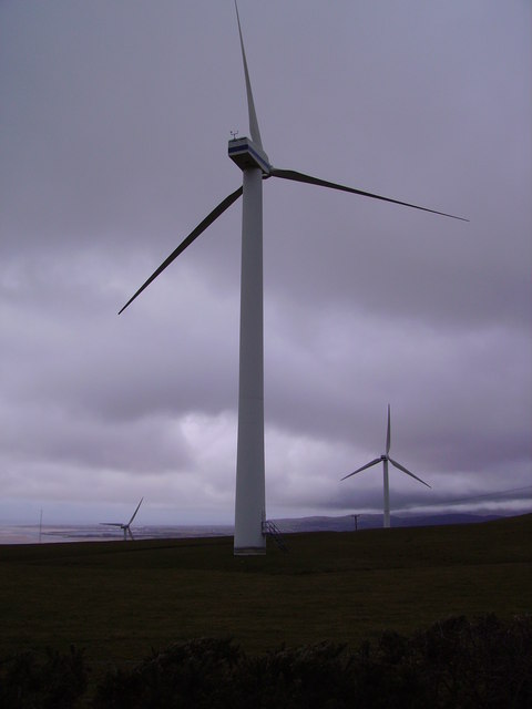
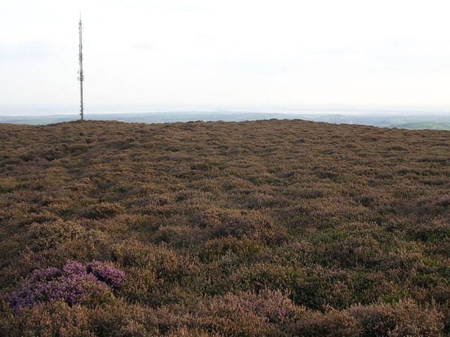
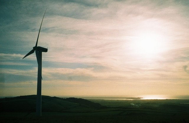
Askam and Ireleth Wind Farm
Askam and Ireleth Wind Farm is a group of 7 turbines located two kilometers east of the village Askam and Ireleth, on the southern slopes of Hare Slack...

Dalton North
Dalton North is a ward of the British town Dalton-in-Furness, within the Borough of Barrow-in-Furness. With 6,599 people residing in Dalton North in 2001...

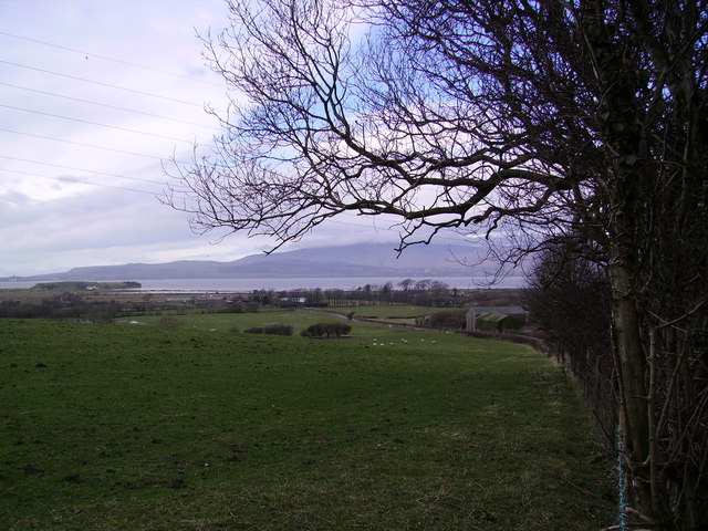
Askam and Ireleth
Askam and Ireleth is a civil parish close to Barrow-in-Furness in Westmorland and Furness, Cumbria, England. Historically part of Lancashire, it originally...

Askam railway station
Askam is a railway station on the Cumbrian Coast Line, which runs between Carlisle and Barrow-in-Furness. The station, situated 6 miles (10 km) north of...
Marton, Cumbria
Marton is a village on the Furness peninsula in the county of Cumbria, England. It shares a church, a parish council and primary school with the nearby...
Furness Hoard
The Furness Hoard is a hoard of Viking silver coins and other artefacts dating to the 9th and 10th Century that was discovered in Furness, Cumbria, England...
South Lakes Safari Zoo
South Lakes Safari Zoo (formerly South Lakes Wild Animal Park) is a 51-acre (21 ha) zoo established in 1994 by David Gill, and located in Cumbria, England...

Lindal-in-Furness
Lindal-in-Furness is a village on the Furness peninsula, in the Westmorland and Furness district of Cumbria, England. Historically in Lancashire, it lies...
Nearby Amenities
Located within 500m of 54.190347,-3.1819769Have you been to Ireleth Reservoirs?
Leave your review of Ireleth Reservoirs below (or comments, questions and feedback).