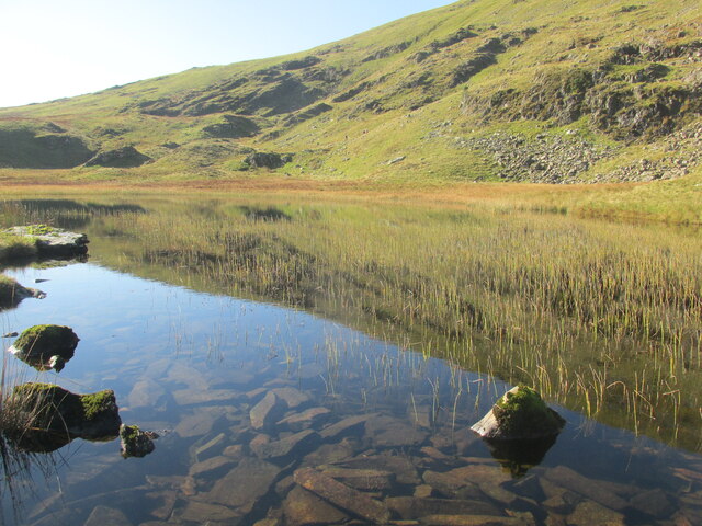
Dalehead Tarn
Lake, Pool, Pond, Freshwater Marsh in Cumberland Allerdale
England
Dalehead Tarn

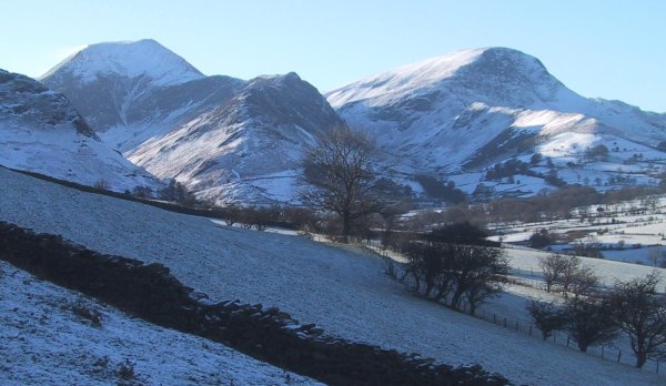
Dalehead Tarn is a small but picturesque body of water located in the county of Cumberland, England. Situated amidst the breathtaking landscape of the Lake District National Park, this tarn is nestled in a secluded valley, surrounded by rolling hills and verdant moorlands.
Covering an area of approximately 10 acres, Dalehead Tarn is classified as a lake due to its size and depth, although some may consider it more akin to a pool or pond due to its intimate nature. The tarn is fed by natural springs and rainfall, ensuring a constant supply of fresh, clear water throughout the year.
Surrounded by a diverse range of flora and fauna, Dalehead Tarn is home to numerous species of waterfowl, including swans, ducks, and geese. The tranquil setting of the tarn attracts a variety of bird species, making it a popular spot for birdwatching enthusiasts.
The shores of the tarn are fringed with reeds and grasses, creating a freshwater marsh habitat that supports a rich array of plant life. Visitors can expect to see vibrant wildflowers, such as water lilies and yellow flag iris, adding to the natural beauty of the location.
Dalehead Tarn offers a peaceful retreat for those seeking solace in nature. Its calm waters provide an ideal setting for fishing, and anglers can try their luck at catching brown trout, which thrive in the tarn's depths.
Accessible by footpaths and surrounded by breathtaking scenery, Dalehead Tarn is a hidden gem within the Lake District. Its tranquility and natural beauty make it a must-visit destination for nature lovers and those looking to escape the hustle and bustle of everyday life.
If you have any feedback on the listing, please let us know in the comments section below.
Dalehead Tarn Images
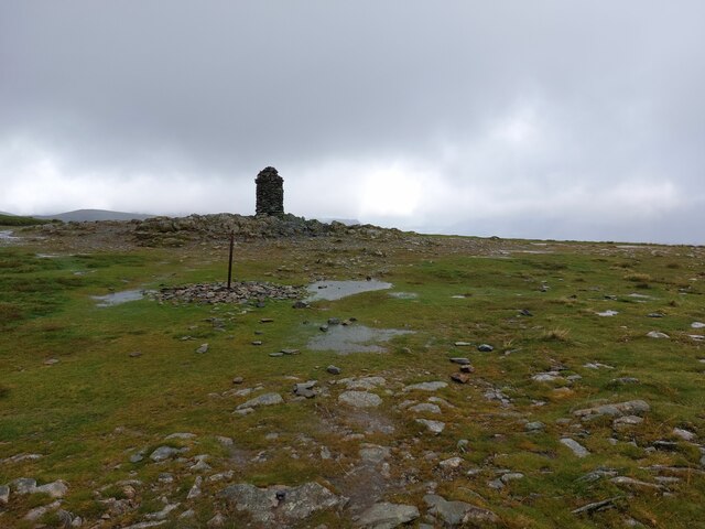
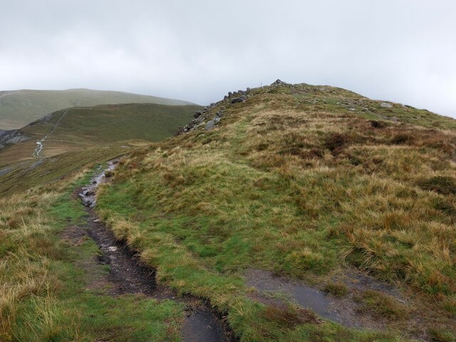
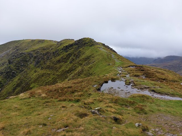
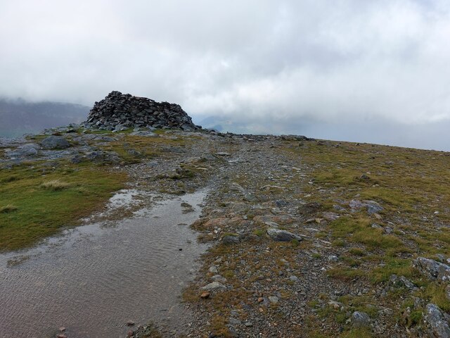
Images are sourced within 2km of 54.526583/-3.1915171 or Grid Reference NY2215. Thanks to Geograph Open Source API. All images are credited.


Dalehead Tarn is located at Grid Ref: NY2215 (Lat: 54.526583, Lng: -3.1915171)
Administrative County: Cumbria
District: Allerdale
Police Authority: Cumbria
What 3 Words
///bats.masterful.rudder. Near Keswick, Cumbria
Nearby Locations
Related Wikis

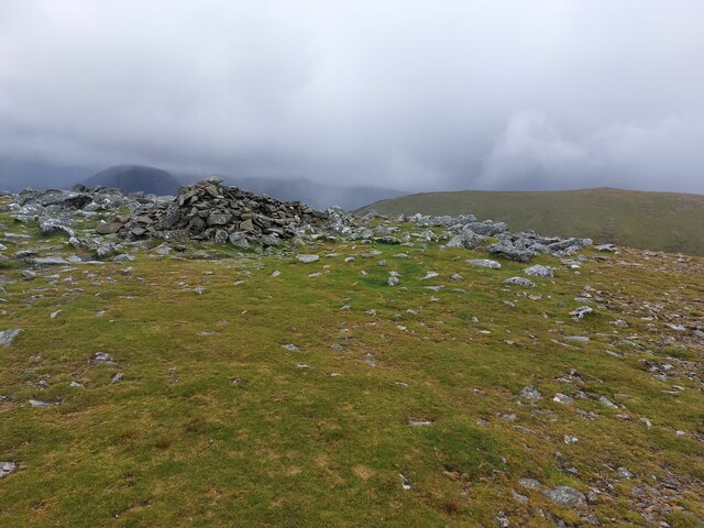
Dale Head
Dale Head is a fell in the north-western sector of the Lake District, in northern England. It is 753 metres or 2,470 foot above sea level and stands immediately...
High Spy
High Spy is a fell in the English Lake District it is situated on the ridge that separates the Newlands Valley from Borrowdale, eight kilometres (five...
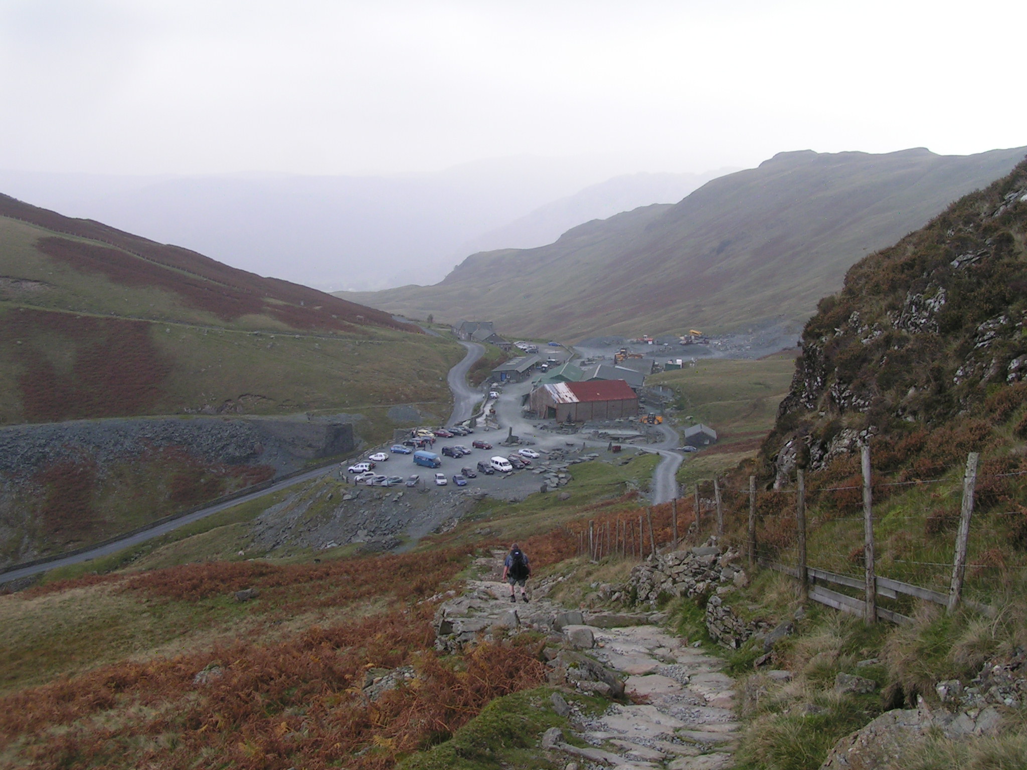
Honister Slate Mine
The Honister Slate Mine in Cumbria is the last working slate mine in England. Quarrying for Westmorland green slate has been taking place in the area since...
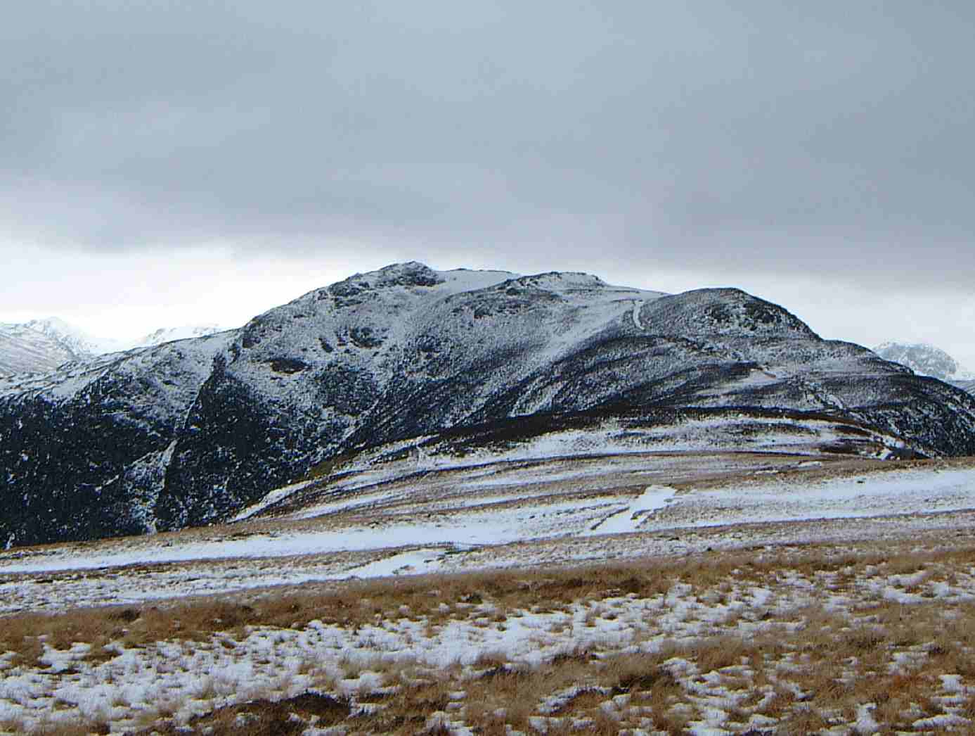
Hindscarth
Hindscarth is a mountain between the valleys of Buttermere and Newlands, in the north-western part of the English Lake District. The fell's name is derived...
Nearby Amenities
Located within 500m of 54.526583,-3.1915171Have you been to Dalehead Tarn?
Leave your review of Dalehead Tarn below (or comments, questions and feedback).