Borrowdale
Heritage Site in Cumberland Allerdale
England
Borrowdale

Borrowdale is a picturesque valley located in the Lake District National Park in Cumberland, England. It is renowned for its outstanding natural beauty, diverse wildlife, and rich cultural heritage. The valley stretches approximately 11 kilometers from the southern end of Derwentwater to the hamlet of Seatoller.
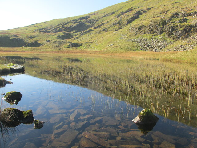
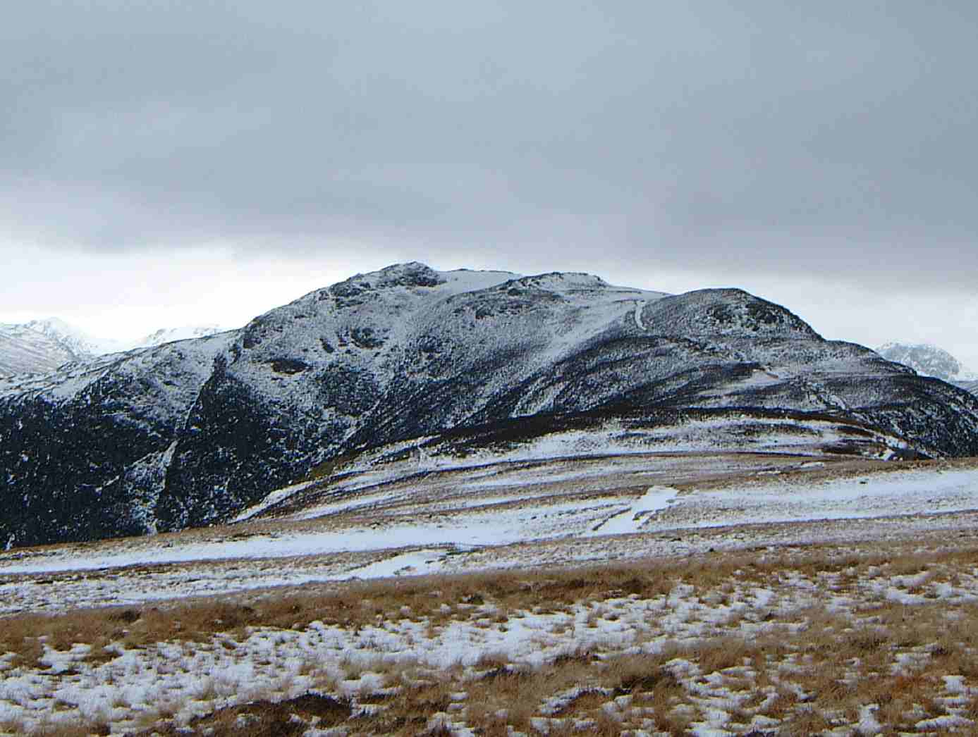
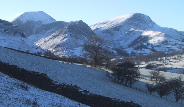
The landscape of Borrowdale is characterized by steep slopes, craggy mountains, and lush greenery. The valley is surrounded by towering peaks, including the famous Cat Bells, Great Gable, and Scafell Pike, England's highest mountain. The River Derwent meanders through the valley, adding to its charm and providing opportunities for activities such as fishing and boating.
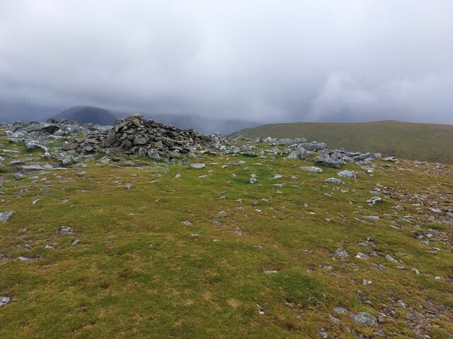
Borrowdale is a haven for nature enthusiasts and hikers, offering numerous trails that cater to all levels of experience. The valley is home to a wide variety of flora and fauna, including rare species such as red squirrels and ospreys. The rich biodiversity of the area has led to it being designated as a Site of Special Scientific Interest.
In addition to its natural beauty, Borrowdale is steeped in history and heritage. The valley boasts several ancient stone circles, such as Castlerigg, which dates back to the Neolithic period. There are also remnants of old mining activities that took place in the area during the 16th and 17th centuries.
Borrowdale's charm has inspired many artists, writers, and poets throughout history. The valley has been depicted in numerous paintings and literary works, including poems by William Wordsworth. Today, visitors can explore the valley's beauty through various activities, such as walking, rock climbing, and simply immersing themselves in the tranquil surroundings.
If you have any feedback on the listing, please let us know in the comments section below.
Borrowdale Images
Images are sourced within 2km of 54.53/-3.198 or Grid Reference NY2215. Thanks to Geograph Open Source API. All images are credited.


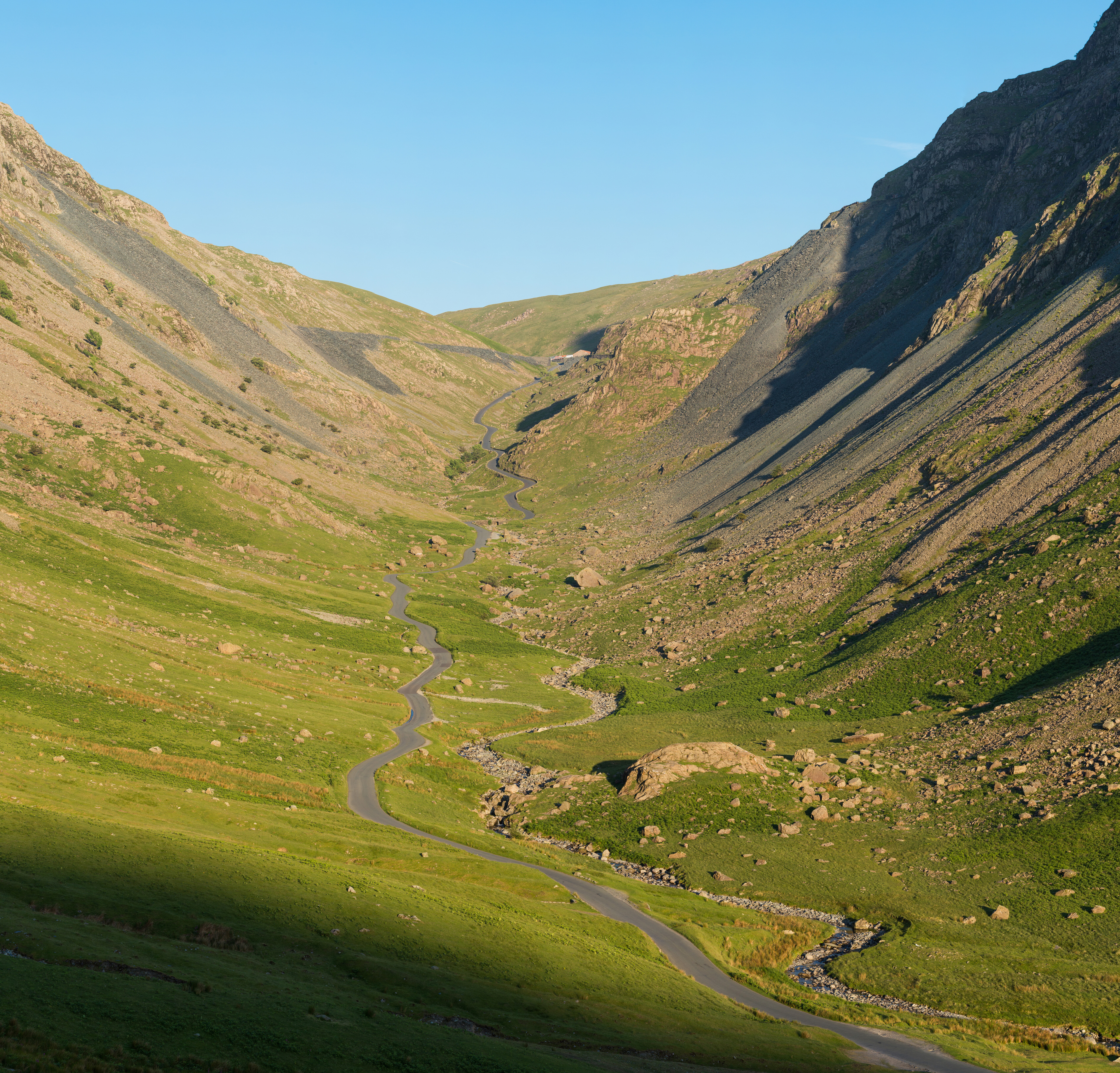
![Honister Pass - 1959 Looking southeastwards up the pass [B5289], with Gatesgarthdale Beck on the right, and the steep slopes of Yew Crag [left] and Honister Crag [right] coming down to narrow the pass. The car was a state-of-the-art Morris 1000 [rental, even in those days, no expense spared for the honeymoon!].](https://s0.geograph.org.uk/geophotos/02/31/92/2319236_2fc08cad.jpg)
Borrowdale is located at Grid Ref: NY2215 (Lat: 54.53, Lng: -3.198)
Administrative County: Cumbria
District: Allerdale
Police Authority: Cumbria
What 3 Words
///rebirth.glare.purse. Near Keswick, Cumbria
Nearby Locations
Related Wikis

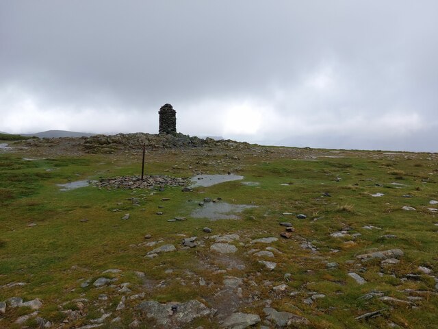
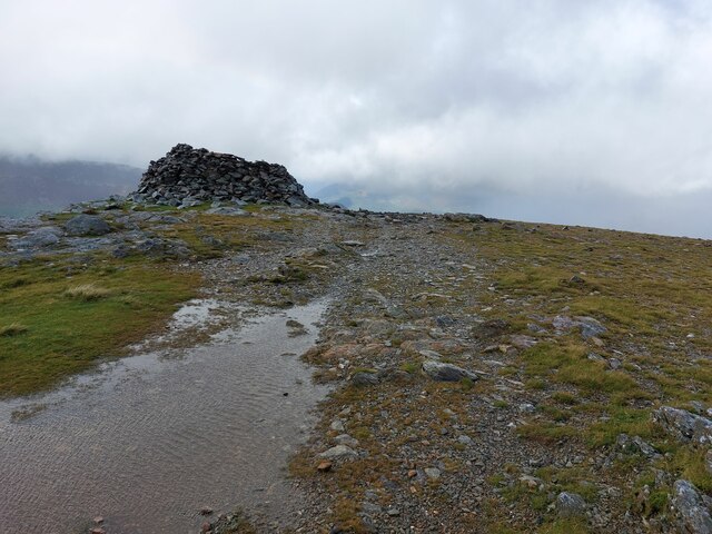
Dale Head
Dale Head is a fell in the north-western sector of the Lake District, in northern England. It is 753 metres or 2,470 foot above sea level and stands immediately...
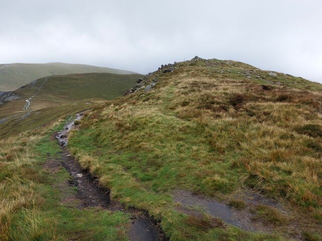
High Spy
High Spy is a fell in the English Lake District it is situated on the ridge that separates the Newlands Valley from Borrowdale, eight kilometres (five...
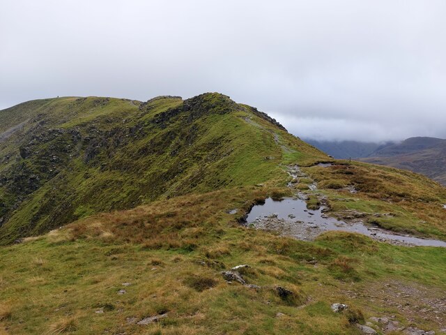
Hindscarth
Hindscarth is a mountain between the valleys of Buttermere and Newlands, in the north-western part of the English Lake District. The fell's name is derived...
Honister Pass
Honister Pass is a mountain pass in the Lake District in Cumbria, England. It is located on the B5289 road, linking Seatoller, in the valley of Borrowdale...
Nearby Amenities
Located within 500m of 54.53,-3.198Have you been to Borrowdale?
Leave your review of Borrowdale below (or comments, questions and feedback).