Loch nan Eun
Lake, Pool, Pond, Freshwater Marsh in Aberdeenshire
Scotland
Loch nan Eun
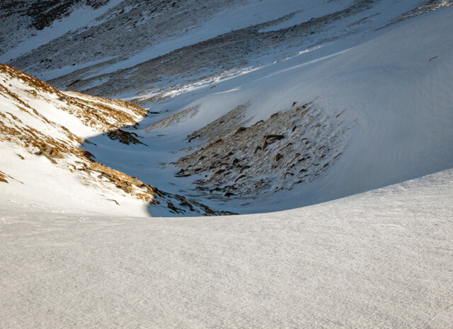
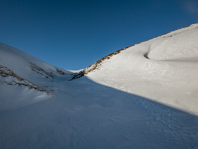
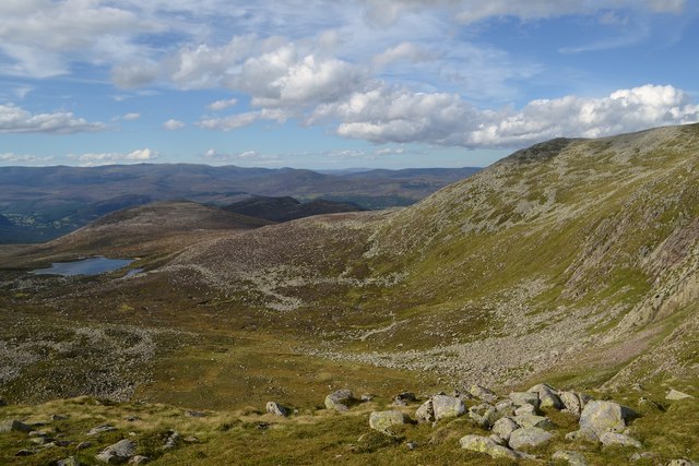
Loch nan Eun is a picturesque freshwater loch located in Aberdeenshire, Scotland. Set amidst the stunning landscape of the Scottish Highlands, this natural water body offers a tranquil and serene environment for visitors to enjoy.
Covering an area of approximately 10 hectares, Loch nan Eun is surrounded by rolling hills and lush greenery, making it a popular destination for nature enthusiasts and outdoor activities. The loch is situated at an elevation of 250 meters above sea level, adding to its scenic beauty.
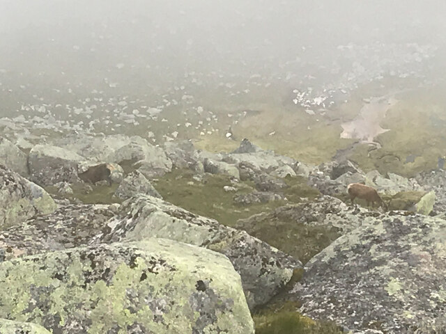
The water of Loch nan Eun is crystal clear and is fed by several small streams that originate from the surrounding hills. It is home to a variety of freshwater fish, including brown trout and pike, making it a popular spot for fishing enthusiasts. The loch also attracts a wide range of bird species, such as ducks, geese, and swans, providing ample opportunities for bird watching.
Surrounding the loch, there are patches of freshwater marshes and ponds, which further enhance the ecological diversity of the area. These marshes are home to a variety of plant species, including reeds, rushes, and water lilies, creating a vibrant and colorful ecosystem.
With its breathtaking natural beauty and diverse wildlife, Loch nan Eun offers a peaceful retreat for those seeking a break from the busy city life. Whether it's fishing, bird watching, or simply enjoying the tranquility of nature, this hidden gem in Aberdeenshire is sure to leave visitors with unforgettable memories.
If you have any feedback on the listing, please let us know in the comments section below.
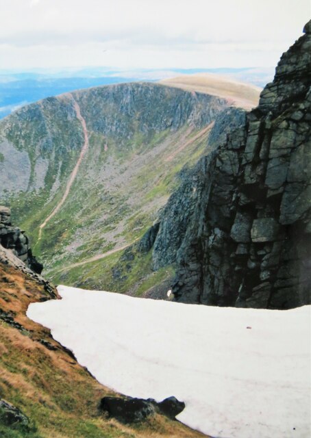
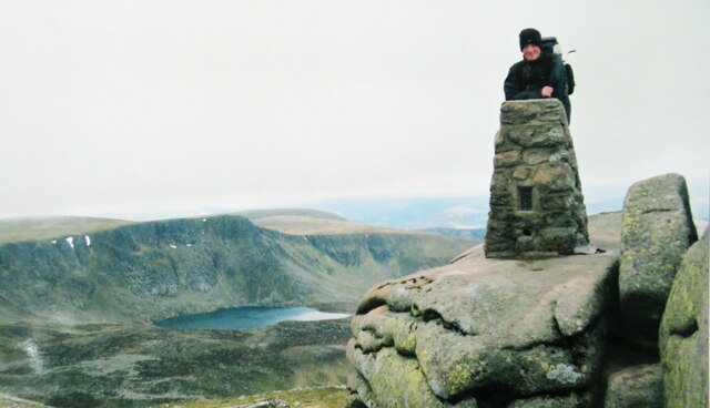
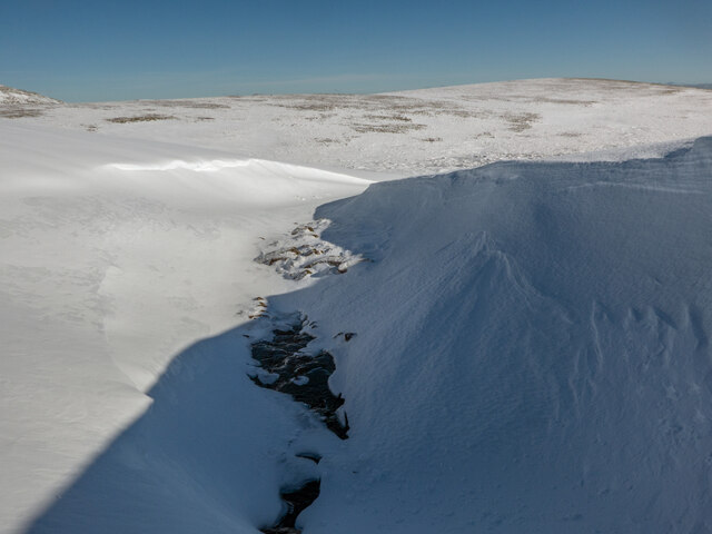
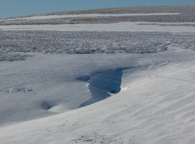
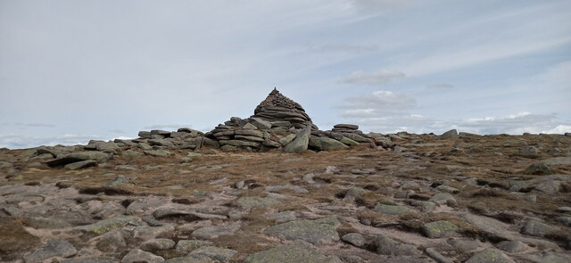
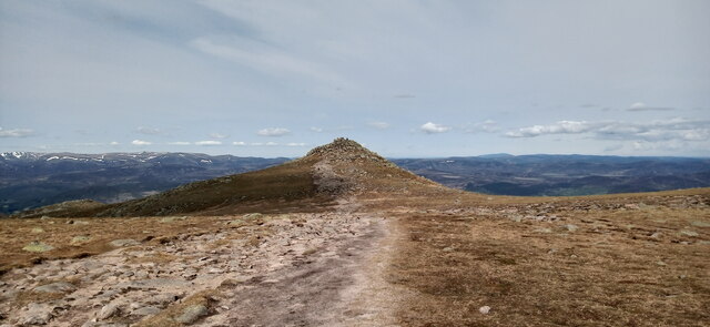
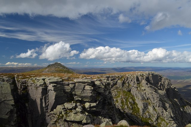
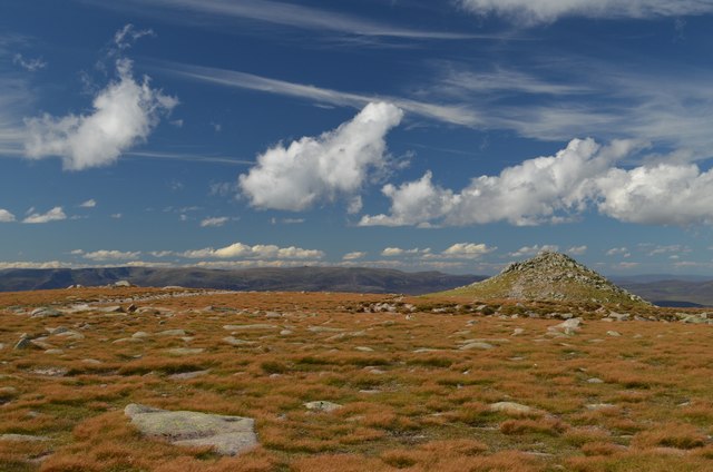
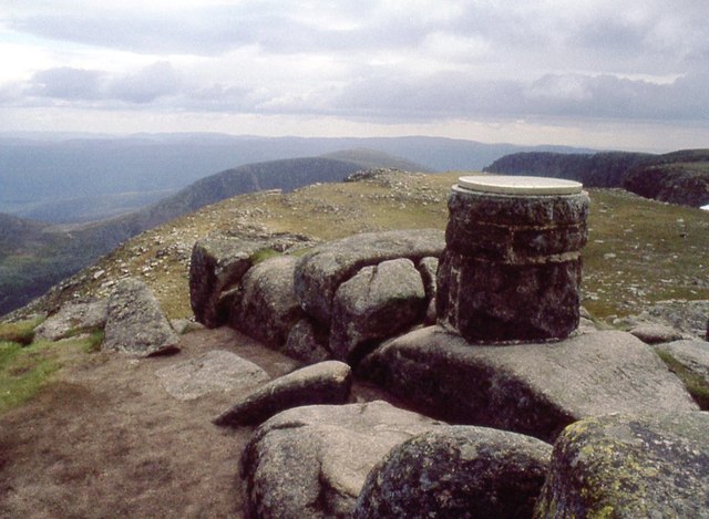
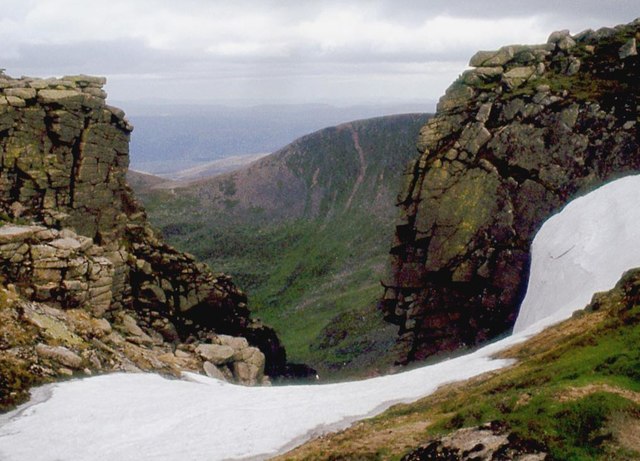
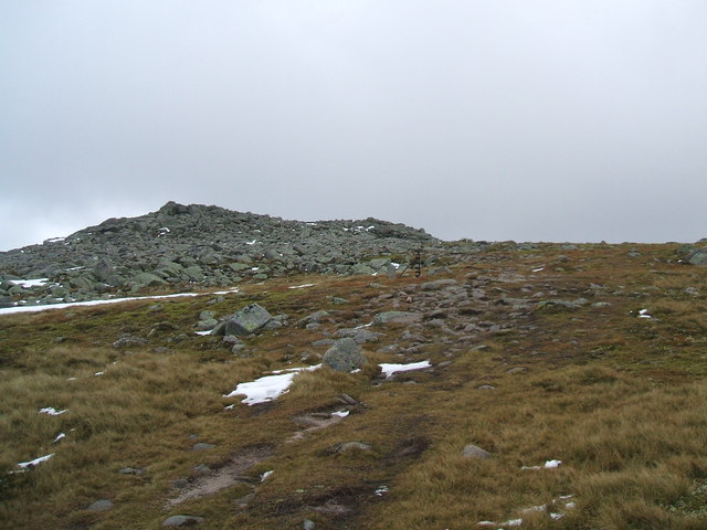
Loch nan Eun Images
Images are sourced within 2km of 56.95325/-3.2677414 or Grid Reference NO2285. Thanks to Geograph Open Source API. All images are credited.
Loch nan Eun is located at Grid Ref: NO2285 (Lat: 56.95325, Lng: -3.2677414)
Unitary Authority: Aberdeenshire
Police Authority: North East
What 3 Words
///dusty.roost.names. Near Inverey, Aberdeenshire
Nearby Locations
Related Wikis

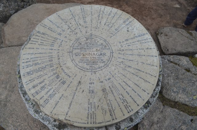
Lochnagar
Lochnagar or Beinn Chìochan is a mountain in the Mounth, in the Grampians of Scotland. It is about five miles (eight kilometres) south of the River Dee...

Dubh Loch (Glen Muick)
Dubh Loch is a small upland loch situated within the Balmoral Estate, in Aberdeenshire, Scotland. It is at an altitude of 637 metres (2,090 ft), with a...
Cairn Bannoch
Cairn Bannoch (Scottish Gaelic: Càrn a' Bheannaich) is a mountain in the White Mounth, a mountainous plateau in the Scottish Highlands. It is about seventeen...

Broad Cairn
Broad Cairn is a mountain in the Grampians of Scotland, located about sixteen miles south of the River Dee near Balmoral.
Related Videos

Hiking 5 White Mounth Munros Scotland in One Day, Scotland Countryside – Part 1
Hiking 5 White Mounth Munros Scotland in One Day, Scotland Countryside. According to Walkhighlands, this route is a long ...

Walking Scotland with Larking About - lochnagar 5
I was on limited battery life so sadly no video of coming back down. although I would recommend coming down the waterfall and ...
Lochnagar
A walk up the Munro - Lochanagar.

Nearby Amenities
Located within 500m of 56.95325,-3.2677414Have you been to Loch nan Eun?
Leave your review of Loch nan Eun below (or comments, questions and feedback).