Black Hillocks

Hill, Mountain in Banffshire

Scotland

Black Hillocks

Banff Links The platform at the base of the cliffs is the line of the branch railway to Banff which closed in 1968.
Banff Links Credit: Alan Murray-Rust

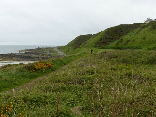
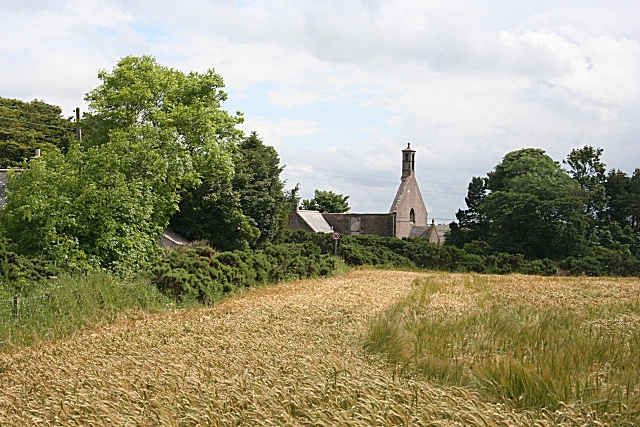
Black Hillocks is a prominent hill located in the region of Banffshire, Scotland. With an elevation of approximately 402 meters (1,319 feet), it offers breathtaking panoramic views of the surrounding landscape. Situated near the small village of Whitehills, the hill is a popular destination for outdoor enthusiasts and nature lovers.

The Black Hillocks hill is characterized by its distinctive shape, featuring a gently sloping ascent that gradually steepens towards its summit. The terrain is predominantly covered with heather and grass, giving it a picturesque appearance, especially when the heather blooms in late summer. The hill is also dotted with scattered boulders, adding to its rugged charm.

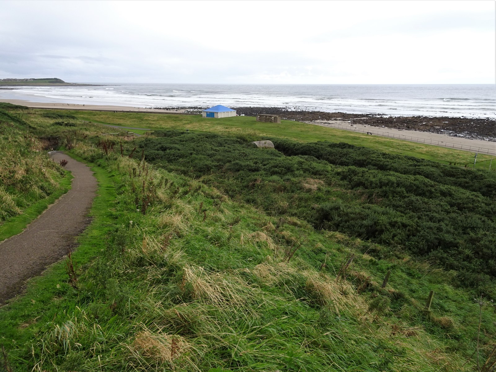
Reaching the summit of Black Hillocks is a rewarding experience, as it offers uninterrupted views of the surrounding countryside, including the Moray Firth and the nearby coastline. On clear days, it is even possible to catch a glimpse of the distant peaks of the Cairngorms National Park.

The hill is easily accessible via a well-maintained footpath that leads from Whitehills village. This path ensures a relatively straightforward ascent, making it suitable for hikers of various fitness levels. Additionally, the hill is located within close proximity to other natural attractions, including sandy beaches, coastal cliffs, and picturesque fishing villages, making it an ideal starting point for exploring the Banffshire coastline.

Overall, Black Hillocks is a captivating and accessible hill, offering visitors a chance to immerse themselves in the scenic beauty of Banffshire's countryside while enjoying a peaceful and invigorating outdoor experience.

If you have any feedback on the listing, please let us know in the comments section below.

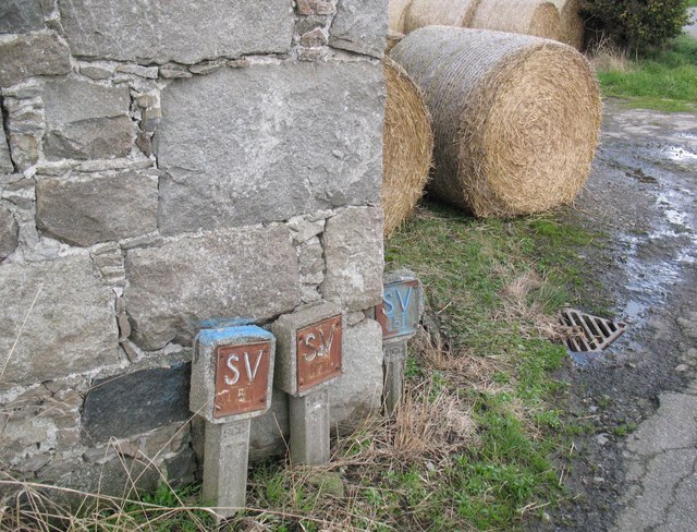
Black Hillocks Images

Images are sourced within 2km of 57.662964/-2.5741764 or Grid Reference NJ6563. Thanks to Geograph Open Source API. All images are credited.

Banff Links The platform at the base of the cliffs is the line of the branch railway to Banff which closed in 1968.
Banff Links
The platform at the base of the cliffs is the line of the branch railway to Banff which closed in 1968.
Small building on Banff links I wondered at the time whether this was a platelayers hut adjacent to the former railway line. However it appears to have been an ammunition store for the Banffshire 'Terriers' who trained on the Banff links. It dates from c.1900 and is Listed Category C.
Small building on Banff links
I wondered at the time whether this was a platelayers hut adjacent to the former railway line. However it appears to have been an ammunition store for the Banffshire 'Terriers' who trained on the Banff links. It dates from c.1900 and is Listed Category C.
Bridge remains, Banff Links Carrying the former branch railway to Banff over a path which appears to have been access to a golf course. The 1902 OS 25-inch mapping shows a club house immediately to the left of the bridge.
Bridge remains, Banff Links
Carrying the former branch railway to Banff over a path which appears to have been access to a golf course. The 1902 OS 25-inch mapping shows a club house immediately to the left of the bridge.
Banff Links looking west The fine sandy beach of Boyndie Bay looking towards Knock Head.
Banff Links looking west
The fine sandy beach of Boyndie Bay looking towards Knock Head.
Boyndie The centre of the village of Boyndie
Boyndie
The centre of the village of Boyndie
Boyndie The road out or into Boyndie
Boyndie
The road out or into Boyndie
Field above Boyndie Bay Looking in the direction of Whitehills.
Field above Boyndie Bay
Looking in the direction of Whitehills.
Farmland west of Banff Looking towards Knock Head.
Farmland west of Banff
Looking towards Knock Head.
Whitehills harbour, Aberdeenshire Construction of the harbour at Whitehills was completed in 1900. Nowadays, it is being developed as leisure marina.
Whitehills harbour, Aberdeenshire
Construction of the harbour at Whitehills was completed in 1900. Nowadays, it is being developed as leisure marina.
Golf Club House Railway Halt (site), Aberdeenshire Opened in 1913 by the Great North of Scotland Railway on the line from Tillynaught to Banff, this station closed in 1964.
View north west towards Bridgefoot Halt and Tillynaught from an adjacent footpath, the former railway line can be seen running top left to bottom right. The halt site was right in the middle of the image. The golf clubhouse was almost adjacent to it but has similarly disappeared.
Golf Club House Railway Halt (site), Aberdeenshire
Opened in 1913 by the Great North of Scotland Railway on the line from Tillynaught to Banff, this station closed in 1964. View north west towards Bridgefoot Halt and Tillynaught from an adjacent footpath, the former railway line can be seen running top left to bottom right. The halt site was right in the middle of the image. The golf clubhouse was almost adjacent to it but has similarly disappeared.
Coastline near Banff Looking down from the A98 layby to the shelter by The Tumblers. See <a href="https://www.geograph.org.uk/photo/3533453">NJ6764 : Beach Shelter, Boyndie Bay</a>
Coastline near Banff
Looking down from the A98 layby to the shelter by The Tumblers. See NJ6764 : Beach Shelter, Boyndie Bay
Boyndie Bridge south west parapet The stone built bridge parapet carries an Ordnance Survey rivet bench mark and also the arrow mark on the face of the wall visible in this photograph, possibly relating to an earlier bench mark at this location.
Boyndie Bridge south west parapet
The stone built bridge parapet carries an Ordnance Survey rivet bench mark and also the arrow mark on the face of the wall visible in this photograph, possibly relating to an earlier bench mark at this location.
Water main markers, Nether Dallachy Farm Water main markers and also a very weathered Ordnance Survey benchmark on the corner of the barn (photograph <a href="https://www.geograph.org.uk/photo/6502997">NJ6464 : Ordnance Survey benchmark, Nether Dallachy Farm</a>).
Water main markers, Nether Dallachy Farm
Water main markers and also a very weathered Ordnance Survey benchmark on the corner of the barn (photograph NJ6464 : Ordnance Survey benchmark, Nether Dallachy Farm).
Ordnance Survey benchmark, Nether Dallachy Farm Heavily weathered Ordnance Survey benchmark on the corner of the barn marking a height of 52.9867m above sea level (Ordnance Datum Newlyn) last verified in 1975 (location photograph <a href="https://www.geograph.org.uk/photo/6502979">NJ6464 : Water main markers, Nether Dallachy Farm</a>).
Water main stop valve markers are adjacent.
Ordnance Survey benchmark, Nether Dallachy Farm
Heavily weathered Ordnance Survey benchmark on the corner of the barn marking a height of 52.9867m above sea level (Ordnance Datum Newlyn) last verified in 1975 (location photograph NJ6464 : Water main markers, Nether Dallachy Farm). Water main stop valve markers are adjacent.
Ordnance Survey benchmark, Boyndie The weathered Ordnance Survey benchmark cut into the base of the gatepost of the former St. Brandon's Church marks a height of 54.9449m above sea level (Ordnance Datum Newlyn) last verified in 1975 (photograph <a href="https://www.geograph.org.uk/photo/6503025">NJ6463 : Ordnance Survey Benchmark on gatepost, Boyndie</a>).
Ordnance Survey benchmark, Boyndie
The weathered Ordnance Survey benchmark cut into the base of the gatepost of the former St. Brandon's Church marks a height of 54.9449m above sea level (Ordnance Datum Newlyn) last verified in 1975 (photograph NJ6463 : Ordnance Survey Benchmark on gatepost, Boyndie).
Ordnance Survey Benchmark on gatepost, Boyndie Detail of the weathered Ordnance Survey benchmark on the gatepost of the former St. Brandon's Church, Boyndie.  The benchmark marks a height of 54.9449m above sea level (Ordnance Datum Newlyn) last verified in 1975 (location photograph <a href="https://www.geograph.org.uk/photo/6503017">NJ6463 : Ordnance Survey benchmark, Boyndie</a>).
Ordnance Survey Benchmark on gatepost, Boyndie
Detail of the weathered Ordnance Survey benchmark on the gatepost of the former St. Brandon's Church, Boyndie. The benchmark marks a height of 54.9449m above sea level (Ordnance Datum Newlyn) last verified in 1975 (location photograph NJ6463 : Ordnance Survey benchmark, Boyndie).
Inverboyndie, Boyndie Bridge This is the benchmark located on the top of western parapet, directly over the flowing water.
Inverboyndie, Boyndie Bridge
This is the benchmark located on the top of western parapet, directly over the flowing water.
Inverboyndie, Boyndie Bridge There is a 2nd benchmark on the face of the western parapet. It is a smaller mark and is about 1 to 1.5m to the left of the cut mark on the top of the parapet. It is unusual to find 2 benchmarks on 1 bridge.
Inverboyndie, Boyndie Bridge
There is a 2nd benchmark on the face of the western parapet. It is a smaller mark and is about 1 to 1.5m to the left of the cut mark on the top of the parapet. It is unusual to find 2 benchmarks on 1 bridge.
Show me another place!

Black Hillocks is located at Grid Ref: NJ6563 (Lat: 57.662964, Lng: -2.5741764)

Unitary Authority: Aberdeenshire

Police Authority: North East

What 3 Words

///dugouts.barrel.reboot. Near Whitehills, Aberdeenshire

Related Wikis

Ladysbridge railway station

Ladysbridge railway station was a station in Aberdeenshire, Scotland. Opened as Lady's Bridge railway station in 1859 it was renamed Ladysbridge railway...

Ladysbridge Hospital

Ladysbridge Hospital was a mental health facility near Banff, Aberdeenshire, Scotland. The former hospital is a Category B listed building. == History... ==

Banff distillery

Banff distillery was a producer of single malt Scotch whisky that operated between 1863 and 1983. == History == The first distillery to use the name "Banff...

Bridgefoot Halt railway station

Bridgefoot Halt railway station was opened in 1914. The halt was in the settlement of Bridgefoot close to the town of Banff. The line from Tillynaught...
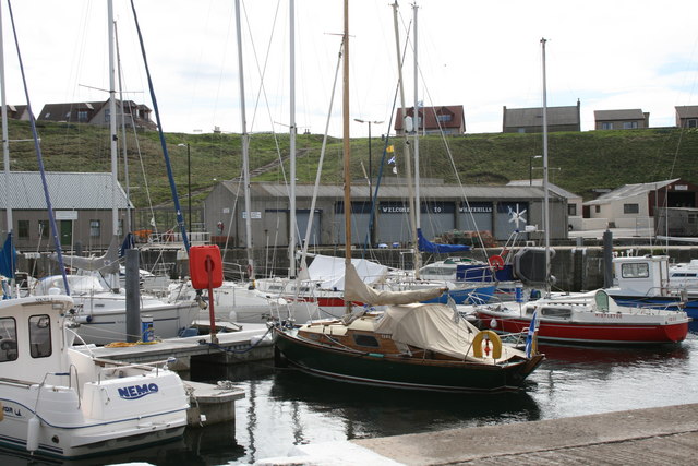
Whitehills

Whitehills is a small fishing village in Banffshire, Scotland, that lies three miles (five kilometres) west of Banff on the Moray Firth. It forms part...

Boyndie

Boyndie is a village in Aberdeenshire, Scotland. == History == Boyndie was once home to RAF Banff Strike Wing, which played a pivotal role in protecting...

Golf Club House Halt railway station

Golf Club House Halt railway station, also known as Banff Golf House Halt railway station was opened in 1914. The halt was located close to the town of...

Banff Academy

Banff Academy is a S1–S6 secondary school in Banff, Aberdeenshire, Scotland. It serves the towns of Banff, Macduff, Whitehills, Portsoy, Aberchirder, Gardenstown...

Nearby Amenities

Located within 500m of 57.662964,-2.5741764
Parking
Parking: surface
Lat/Long: 57.6652511/-2.5739556
The data included in this document is from www.openstreetmap.org. The data is made available under ODbL.

Have you been to Black Hillocks?

Leave your review of Black Hillocks below (or comments, questions and feedback).