Burn Braes

Downs, Moorland in Banffshire

Scotland

Burn Braes

Boyndie The centre of the village of Boyndie
Boyndie Credit: Ralph Greig

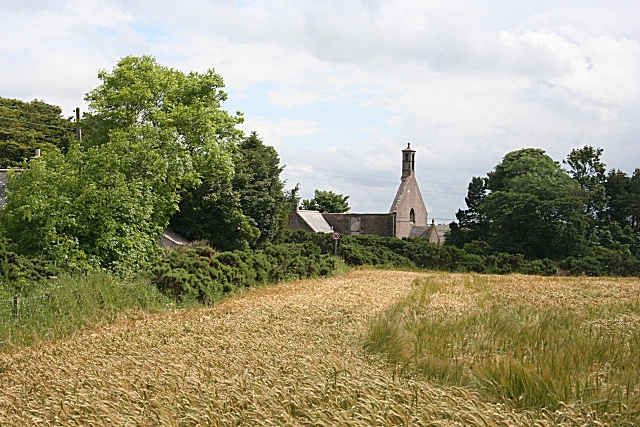
Burn Braes is a picturesque area located in Banffshire, Scotland, known for its stunning downs and moorland landscapes. Situated in the northeastern part of the country, this region offers breathtaking views and a tranquil atmosphere for nature enthusiasts and those seeking a peaceful retreat.

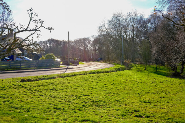
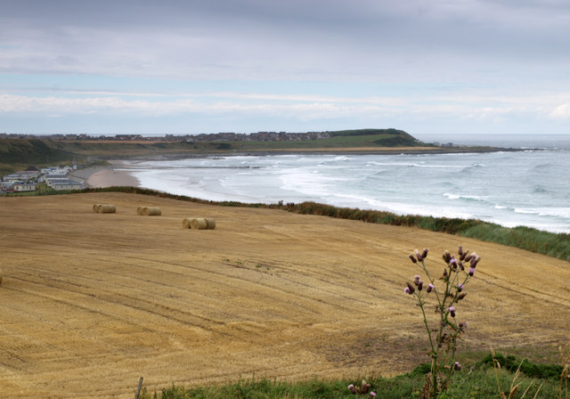
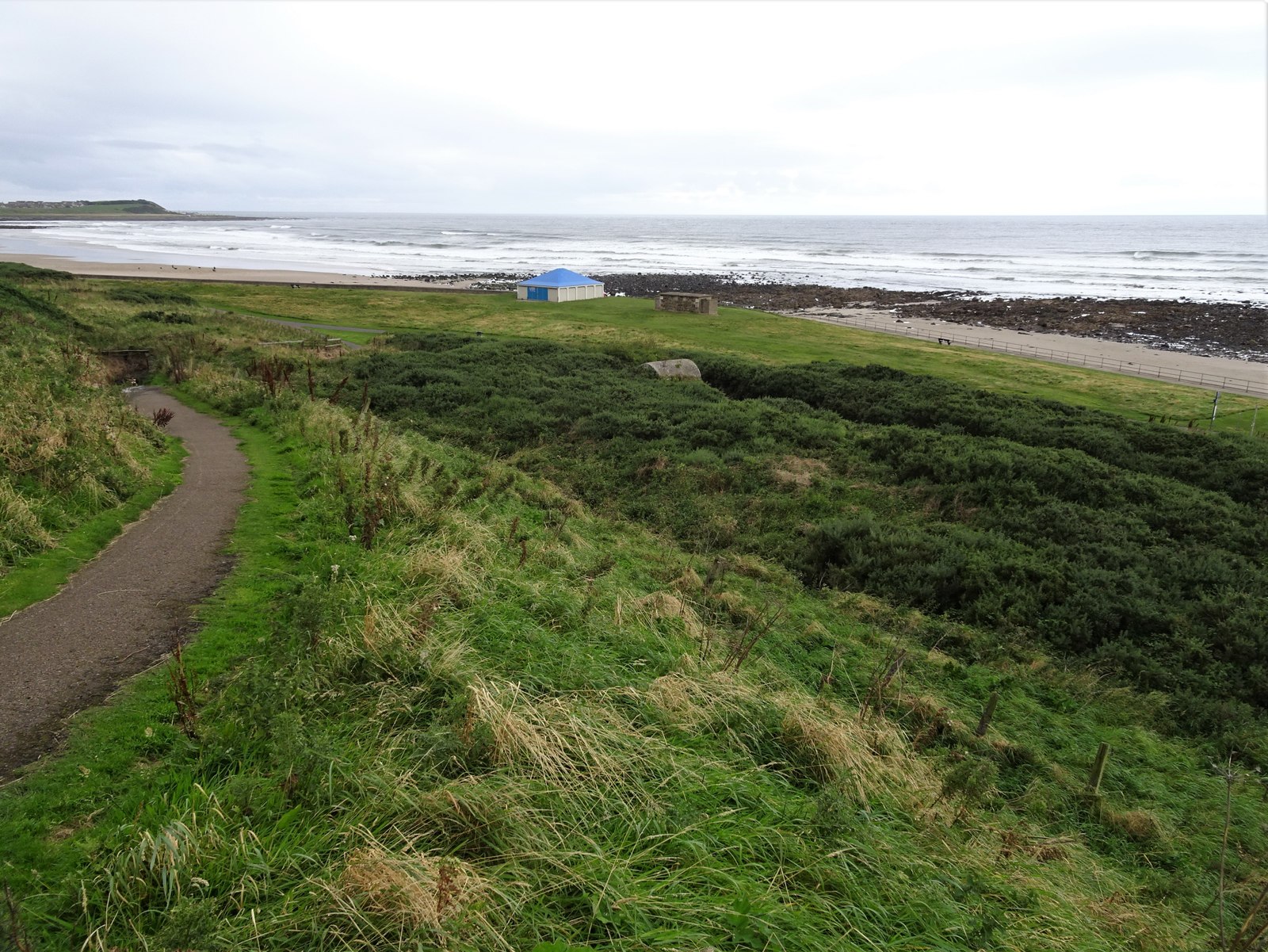
The downs of Burn Braes are characterized by rolling hills, covered in lush green grass and scattered with wildflowers. The undulating terrain provides an ideal setting for hiking, walking, and horse riding, allowing visitors to immerse themselves in the natural beauty of the area. The downs also offer panoramic views of the surrounding countryside, with glimpses of nearby rivers and valleys.

The moorland of Burn Braes is a unique ecosystem, dominated by vast expanses of heather, gorse, and grasses. This habitat supports a diverse range of wildlife, including birds such as grouse, curlews, and kestrels. The moorland is also home to various species of wild mammals, including red deer and mountain hares.

In addition to its natural beauty, Burn Braes holds historical significance. The remnants of ancient stone circles and prehistoric settlements can be found throughout the area, offering a glimpse into the region's rich past.

Overall, Burn Braes in Banffshire is a haven for those seeking a connection with nature and a desire to explore the stunning Scottish countryside. With its downs, moorland, and historical sites, this area offers a unique and captivating experience for visitors of all ages.

If you have any feedback on the listing, please let us know in the comments section below.
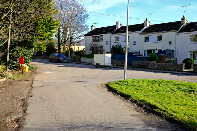
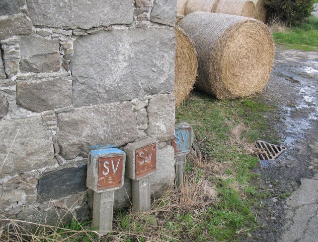
Burn Braes Images

Images are sourced within 2km of 57.662733/-2.5774075 or Grid Reference NJ6563. Thanks to Geograph Open Source API. All images are credited.

Boyndie The centre of the village of Boyndie
Boyndie
The centre of the village of Boyndie
Boyndie The road out or into Boyndie
Boyndie
The road out or into Boyndie
Field above Boyndie Bay Looking in the direction of Whitehills.
Field above Boyndie Bay
Looking in the direction of Whitehills.
Farmland west of Banff Looking towards Knock Head.
Farmland west of Banff
Looking towards Knock Head.
Whitehills harbour, Aberdeenshire Construction of the harbour at Whitehills was completed in 1900. Nowadays, it is being developed as leisure marina.
Whitehills harbour, Aberdeenshire
Construction of the harbour at Whitehills was completed in 1900. Nowadays, it is being developed as leisure marina.
Boyndie Bridge south west parapet The stone built bridge parapet carries an Ordnance Survey rivet bench mark and also the arrow mark on the face of the wall visible in this photograph, possibly relating to an earlier bench mark at this location.
Boyndie Bridge south west parapet
The stone built bridge parapet carries an Ordnance Survey rivet bench mark and also the arrow mark on the face of the wall visible in this photograph, possibly relating to an earlier bench mark at this location.
Water main markers, Nether Dallachy Farm Water main markers and also a very weathered Ordnance Survey benchmark on the corner of the barn (photograph <a href="https://www.geograph.org.uk/photo/6502997">NJ6464 : Ordnance Survey benchmark, Nether Dallachy Farm</a>).
Water main markers, Nether Dallachy Farm
Water main markers and also a very weathered Ordnance Survey benchmark on the corner of the barn (photograph NJ6464 : Ordnance Survey benchmark, Nether Dallachy Farm).
Ordnance Survey benchmark, Nether Dallachy Farm Heavily weathered Ordnance Survey benchmark on the corner of the barn marking a height of 52.9867m above sea level (Ordnance Datum Newlyn) last verified in 1975 (location photograph <a href="https://www.geograph.org.uk/photo/6502979">NJ6464 : Water main markers, Nether Dallachy Farm</a>).
Water main stop valve markers are adjacent.
Ordnance Survey benchmark, Nether Dallachy Farm
Heavily weathered Ordnance Survey benchmark on the corner of the barn marking a height of 52.9867m above sea level (Ordnance Datum Newlyn) last verified in 1975 (location photograph NJ6464 : Water main markers, Nether Dallachy Farm). Water main stop valve markers are adjacent.
Ordnance Survey benchmark, Boyndie The weathered Ordnance Survey benchmark cut into the base of the gatepost of the former St. Brandon's Church marks a height of 54.9449m above sea level (Ordnance Datum Newlyn) last verified in 1975 (photograph <a href="https://www.geograph.org.uk/photo/6503025">NJ6463 : Ordnance Survey Benchmark on gatepost, Boyndie</a>).
Ordnance Survey benchmark, Boyndie
The weathered Ordnance Survey benchmark cut into the base of the gatepost of the former St. Brandon's Church marks a height of 54.9449m above sea level (Ordnance Datum Newlyn) last verified in 1975 (photograph NJ6463 : Ordnance Survey Benchmark on gatepost, Boyndie).
Ordnance Survey Benchmark on gatepost, Boyndie Detail of the weathered Ordnance Survey benchmark on the gatepost of the former St. Brandon's Church, Boyndie.  The benchmark marks a height of 54.9449m above sea level (Ordnance Datum Newlyn) last verified in 1975 (location photograph <a href="https://www.geograph.org.uk/photo/6503017">NJ6463 : Ordnance Survey benchmark, Boyndie</a>).
Ordnance Survey Benchmark on gatepost, Boyndie
Detail of the weathered Ordnance Survey benchmark on the gatepost of the former St. Brandon's Church, Boyndie. The benchmark marks a height of 54.9449m above sea level (Ordnance Datum Newlyn) last verified in 1975 (location photograph NJ6463 : Ordnance Survey benchmark, Boyndie).
Inverboyndie, Boyndie Bridge This is the benchmark located on the top of western parapet, directly over the flowing water.
Inverboyndie, Boyndie Bridge
This is the benchmark located on the top of western parapet, directly over the flowing water.
Inverboyndie, Boyndie Bridge There is a 2nd benchmark on the face of the western parapet. It is a smaller mark and is about 1 to 1.5m to the left of the cut mark on the top of the parapet. It is unusual to find 2 benchmarks on 1 bridge.
Inverboyndie, Boyndie Bridge
There is a 2nd benchmark on the face of the western parapet. It is a smaller mark and is about 1 to 1.5m to the left of the cut mark on the top of the parapet. It is unusual to find 2 benchmarks on 1 bridge.
Inverboyndie, new cemetery There is a benchmark at the entrance to the cemetery on the right hand side wall. It is about 2 foot above ground level.
Inverboyndie, new cemetery
There is a benchmark at the entrance to the cemetery on the right hand side wall. It is about 2 foot above ground level.
Inverboyndie, new cemetery This shows the roadside entrance to the new cemetery. This shows the location of the benchmark in relation to the cemetery entrance. The benchmark can be seen to the right in the picture and towards the top of the wall.
Inverboyndie, new cemetery
This shows the roadside entrance to the new cemetery. This shows the location of the benchmark in relation to the cemetery entrance. The benchmark can be seen to the right in the picture and towards the top of the wall.
Whitehills, steps to the beach The rivet and cutmark are on top of Whitehills sea wall. It is located on the eastern side of the steps to the beach. The rivet is easy to see, although the benchmark is a little worn.
Whitehills, steps to the beach
The rivet and cutmark are on top of Whitehills sea wall. It is located on the eastern side of the steps to the beach. The rivet is easy to see, although the benchmark is a little worn.
Whitehills, steps to the beach A wider angle showing the location of the rivet and cutmark on top of Whitehills sea wall. It is located on the eastern side of the steps which lead to the beach. The rivet is easy to see, although the benchmark is a little worn.
Whitehills, steps to the beach
A wider angle showing the location of the rivet and cutmark on top of Whitehills sea wall. It is located on the eastern side of the steps which lead to the beach. The rivet is easy to see, although the benchmark is a little worn.
Whitehills Harbour The present harbour at Whitehills is, in fact, the 'new harbour' dating from 1899. It was built using subscriptions from fishermen and a number of other substantial gifts. It was subsequently improved and deepened over the ensuing century but by the 1990s it was becoming clear that there was little future for the fishing industry operating out of small harbours such as this. However, the harbour was reinvented as a leisure marina officially opening in 2001. In this scene, 'Katy' in the foreground is a long way from home.
Whitehills Harbour
The present harbour at Whitehills is, in fact, the 'new harbour' dating from 1899. It was built using subscriptions from fishermen and a number of other substantial gifts. It was subsequently improved and deepened over the ensuing century but by the 1990s it was becoming clear that there was little future for the fishing industry operating out of small harbours such as this. However, the harbour was reinvented as a leisure marina officially opening in 2001. In this scene, 'Katy' in the foreground is a long way from home.
Whitehills Harbour The lifebelt is mounted on the substantial wall of the harbour which dates from 1899.
Whitehills Harbour
The lifebelt is mounted on the substantial wall of the harbour which dates from 1899.
Show me another place!

Burn Braes is located at Grid Ref: NJ6563 (Lat: 57.662733, Lng: -2.5774075)

Unitary Authority: Aberdeenshire

Police Authority: North East

What 3 Words

///laminate.awesome.opposing. Near Whitehills, Aberdeenshire

Related Wikis

Ladysbridge railway station

Ladysbridge railway station was a station in Aberdeenshire, Scotland. Opened as Lady's Bridge railway station in 1859 it was renamed Ladysbridge railway...

Ladysbridge Hospital

Ladysbridge Hospital was a mental health facility near Banff, Aberdeenshire, Scotland. The former hospital is a Category B listed building. == History... ==

Banff distillery

Banff distillery was a producer of single malt Scotch whisky that operated between 1863 and 1983. == History == The first distillery to use the name "Banff...

Bridgefoot Halt railway station

Bridgefoot Halt railway station was opened in 1914. The halt was in the settlement of Bridgefoot close to the town of Banff. The line from Tillynaught...

Boyndie

Boyndie is a village in Aberdeenshire, Scotland. == History == Boyndie was once home to RAF Banff Strike Wing, which played a pivotal role in protecting...
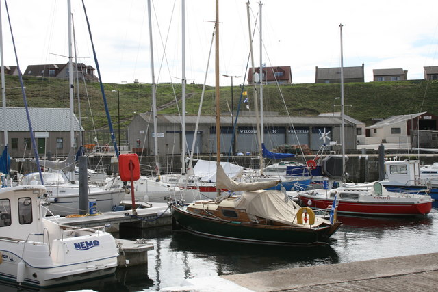
Whitehills

Whitehills is a small fishing village in Banffshire, Scotland, that lies three miles (five kilometres) west of Banff on the Moray Firth. It forms part...

Golf Club House Halt railway station

Golf Club House Halt railway station, also known as Banff Golf House Halt railway station was opened in 1914. The halt was located close to the town of...

Banff Academy

Banff Academy is a S1–S6 secondary school in Banff, Aberdeenshire, Scotland. It serves the towns of Banff, Macduff, Whitehills, Portsoy, Aberchirder, Gardenstown...

Nearby Amenities

Located within 500m of 57.662733,-2.5774075
Post Box
Ref: AB45 55
Lat/Long: 57.6634923/-2.5841169
Bus Stop
Ladybrae Cottage
Bench: yes
Bin: yes
Bus: yes
Lit: yes
Naptan AtcoCode: 630021501
Naptan Bearing: NE
Naptan CommonName: Ladybrae Cottage
Naptan Indicator: opp
Naptan Landmark: Ladybrae Cottage
Naptan NaptanCode: 23623979
Naptan Street: B9121
Naptan Verified: no
Passenger Information Display: yes
Public Transport: platform
Ref: 23623979
Shelter: yes
Tactile Paving: no
Lat/Long: 57.662573/-2.5854896
Parking
Parking: surface
Lat/Long: 57.6652511/-2.5739556
Ladysbridge
Place: village
Lat/Long: 57.6628974/-2.5847784
Power: pole
Lat/Long: 57.6604408/-2.5846195
Power: pole
Lat/Long: 57.6608074/-2.5848305
Power: pole
Lat/Long: 57.6658695/-2.5828924
Bus Stop
Ladybrae Cottage
Bench: no
Bin: no
Bus: yes
Lit: yes
Naptan AtcoCode: 630026031
Naptan Bearing: SW
Naptan CommonName: Ladybrae Cottage
Naptan Indicator: adj
Naptan Landmark: Ladybrae Cottage
Naptan NaptanCode: 23623983
Naptan Street: B9121
Naptan Verified: no
Passenger Information Display: yes
Public Transport: platform
Ref: 23623983
Shelter: no
Tactile Paving: no
Lat/Long: 57.6626493/-2.5851551
The data included in this document is from www.openstreetmap.org. The data is made available under ODbL.

Have you been to Burn Braes?

Leave your review of Burn Braes below (or comments, questions and feedback).