Ardreddie Hill

Hill, Mountain in Banffshire

Scotland

Ardreddie Hill

Old Milestone by the B9025, Burnside of Carnousie, Forglen Parish By the B9025, in parish of Forglen (Aberdeen District), Burnside of Carnousie, near junction sign and commercial vehicle premises, North side of road.

Inscription reads:- : 39 : (To Aberdeen)

Surveyed

Milestone Society National ID: AD_TRAC39
Old Milestone by the B9025, Burnside of Carnousie, Forglen Parish Credit: Milestone Society

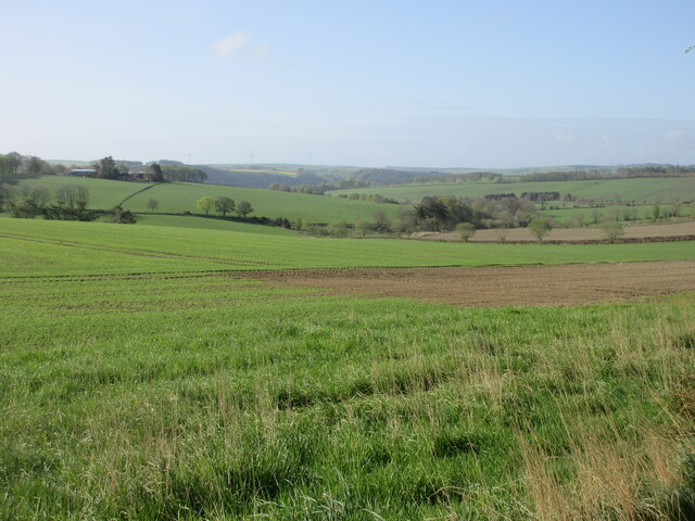
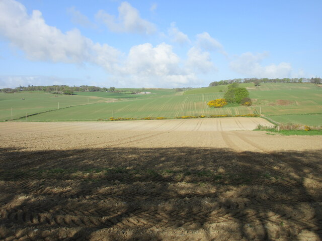
Ardreddie Hill, located in Banffshire, Scotland, is a prominent hill that offers stunning panoramic views of the surrounding landscape. With an elevation of approximately 336 meters (1,102 feet), it stands as a notable landmark in the area.

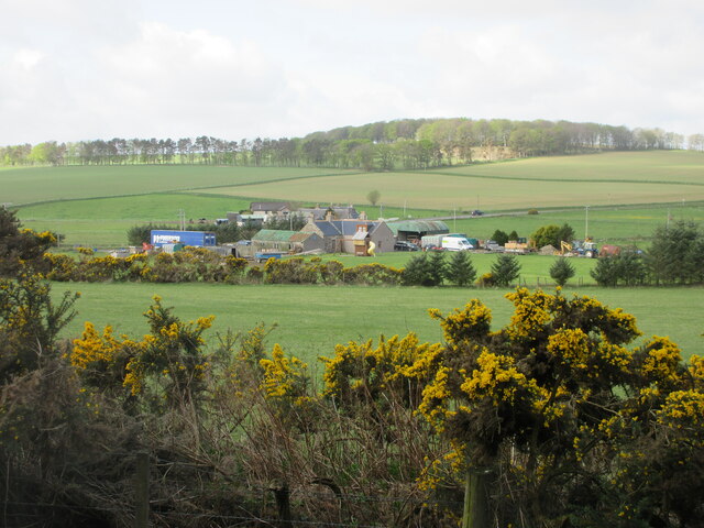
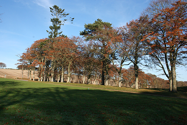
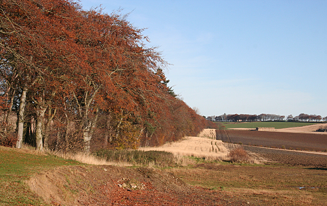
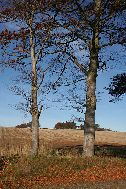
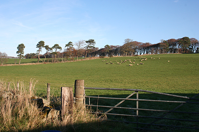
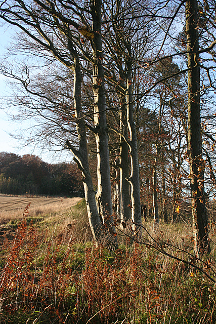
Situated in the picturesque countryside, Ardreddie Hill is a haven for nature enthusiasts and hikers. The hill showcases a diverse range of flora and fauna, making it an ideal spot for wildlife observation. Visitors can spot various bird species, including buzzards and kestrels, soaring through the skies. The surrounding vegetation comprises heather, grasses, and scattered trees, creating a beautiful and serene atmosphere.

The ascent to the summit of Ardreddie Hill is relatively moderate, making it accessible to people of various fitness levels. Once at the top, visitors are rewarded with breathtaking views of the surrounding countryside, rolling hills, and distant mountain ranges. On a clear day, it is even possible to catch a glimpse of the North Sea on the horizon.

Ardreddie Hill also holds historical significance, as remnants of ancient settlements and structures can be found in the vicinity. These archaeological remains offer a glimpse into the area's rich past and provide a fascinating insight into the lives of those who lived there centuries ago.

Overall, Ardreddie Hill in Banffshire is a destination that combines natural beauty, recreational opportunities, and historical intrigue. Whether one is seeking an outdoor adventure or a peaceful retreat, this hill provides an unforgettable experience for all who visit.

If you have any feedback on the listing, please let us know in the comments section below.

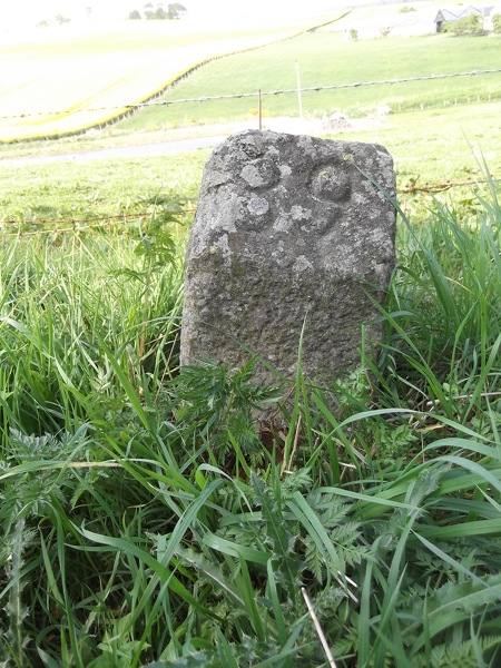
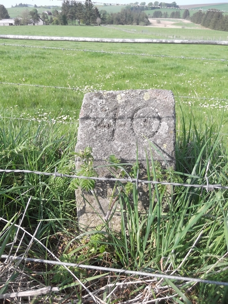
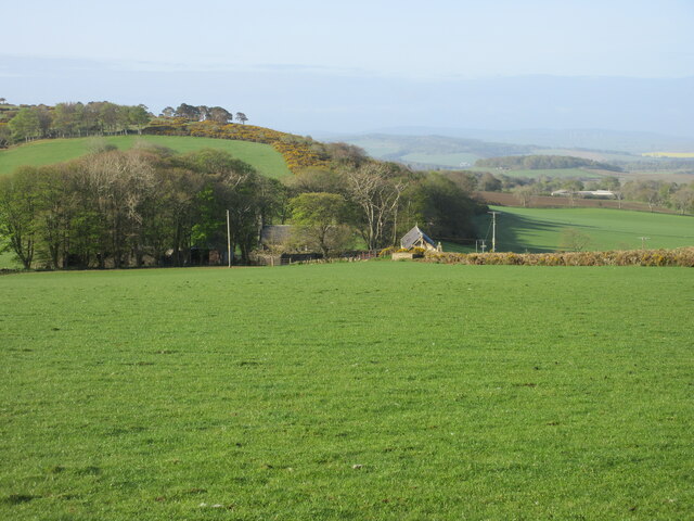
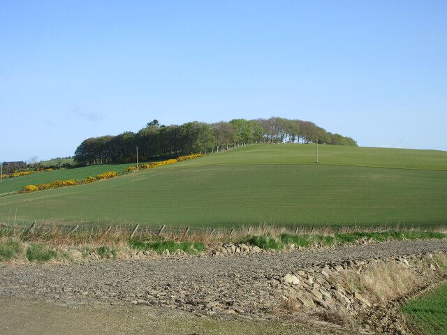
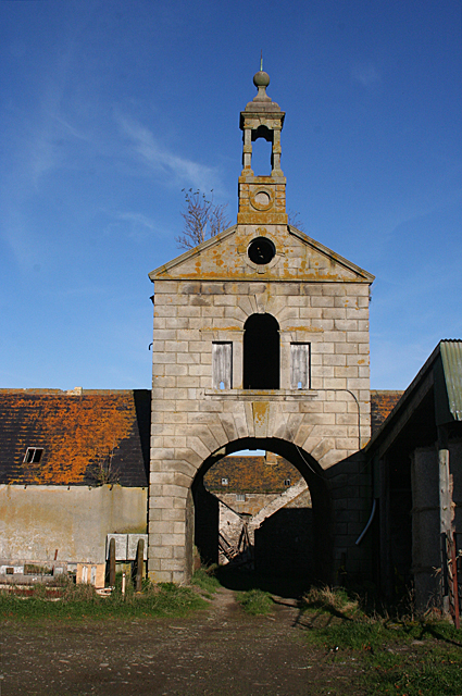
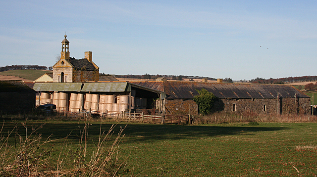
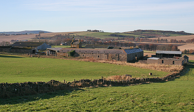
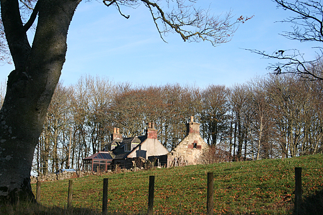
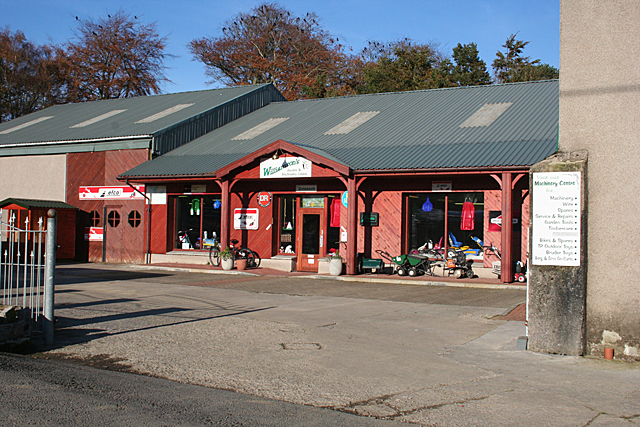
Ardreddie Hill Images

Images are sourced within 2km of 57.554705/-2.5764986 or Grid Reference NJ6551. Thanks to Geograph Open Source API. All images are credited.

Old Milestone by the B9025, Burnside of Carnousie, Forglen Parish By the B9025, in parish of Forglen (Aberdeen District), Burnside of Carnousie, near junction sign and commercial vehicle premises, North side of road.

Inscription reads:- : 39 : (To Aberdeen)

Surveyed

Milestone Society National ID: AD_TRAC39
Old Milestone by the B9025, Burnside of Carnousie, Forglen Parish
By the B9025, in parish of Forglen (Aberdeen District), Burnside of Carnousie, near junction sign and commercial vehicle premises, North side of road. Inscription reads:- : 39 : (To Aberdeen) Surveyed Milestone Society National ID: AD_TRAC39
Old Milestone by the B925, Forglen parish Stone post by the B925, in parish of Forglen (Aberdeen District), 15m West of lane to Sweerburn, on verge behind wire fence.

Inscription reads:-
40
(To Aberdeen)

Surveyed

Milestone Society National ID: AD_TRAC40
Old Milestone by the B925, Forglen parish
Stone post by the B925, in parish of Forglen (Aberdeen District), 15m West of lane to Sweerburn, on verge behind wire fence. Inscription reads:- 40 (To Aberdeen) Surveyed Milestone Society National ID: AD_TRAC40
Field near Castlehill Looking southwards over a grassy field with Castlehill in the background amidst the trees.
Field near Castlehill
Looking southwards over a grassy field with Castlehill in the background amidst the trees.
Ardreddie Hill Looking up Ardreddie Hill from the roadside near Auldtownhill.
Ardreddie Hill
Looking up Ardreddie Hill from the roadside near Auldtownhill.
Fields near Carnousie Looking southwards over countryside near Carnousie.
Fields near Carnousie
Looking southwards over countryside near Carnousie.
Aberdeenshire countryside Looking west over fields near Craiglug.
Aberdeenshire countryside
Looking west over fields near Craiglug.
Bridgend from the north-east Looking south-west to Bridgend by the B9025.
Bridgend from the north-east
Looking south-west to Bridgend by the B9025.
Auldtown of Carnousie The farm house, to the right, is dwarfed by extensive modern buildings.
Auldtown of Carnousie
The farm house, to the right, is dwarfed by extensive modern buildings.
Beech Avenue One of the characteristics of this part of the country is that many of the minor roads are lined with mature trees, often beeches.
Beech Avenue
One of the characteristics of this part of the country is that many of the minor roads are lined with mature trees, often beeches.
Near Carnousie An impressive belt of beeches lines the edge of the fields just north of Auldtown of Carnousie.
Near Carnousie
An impressive belt of beeches lines the edge of the fields just north of Auldtown of Carnousie.
Auldtown Hill Presumably the hill is named for Auldtown of Carnousie, which is on its lower slopes.
Auldtown Hill
Presumably the hill is named for Auldtown of Carnousie, which is on its lower slopes.
White Hill Looking towards the hill from just outside the steading at Mains of Carnousie.
White Hill
Looking towards the hill from just outside the steading at Mains of Carnousie.
Mains of Carnousie The steading here is exceptionally fine, built in a square with arches to north and south. This is the decorative tower above the south arch. Sadly, the whole steading appears to be disused.
Mains of Carnousie
The steading here is exceptionally fine, built in a square with arches to north and south. This is the decorative tower above the south arch. Sadly, the whole steading appears to be disused.
Mains of Carnousie The steading here is exceptionally fine, built in a square with arches to north and south, the latter crowned with an elaborate tower. The south elevation is largely obscured by a modern lean-to for storing straw, but the east elevation gives an idea of how it originally appeared.
Mains of Carnousie
The steading here is exceptionally fine, built in a square with arches to north and south, the latter crowned with an elaborate tower. The south elevation is largely obscured by a modern lean-to for storing straw, but the east elevation gives an idea of how it originally appeared.
Mains of Carnousie From here you can see the square of the original steading, with the roofs of additional buildings inside the square and a motley collection of modern structures outside it.
Mains of Carnousie
From here you can see the square of the original steading, with the roofs of additional buildings inside the square and a motley collection of modern structures outside it.
Cottages near White Hill One cottage in good repair, the other reduced to just its walls.
Cottages near White Hill
One cottage in good repair, the other reduced to just its walls.
Williamson's Machinery Centre This is part of a family-run enterprise which also has a garden centre, a pedal go-cart track, a tearoom and a huge indoor soft play area for children. It's not exactly on the beaten track, but is well patronised by those in the know.
Williamson's Machinery Centre
This is part of a family-run enterprise which also has a garden centre, a pedal go-cart track, a tearoom and a huge indoor soft play area for children. It's not exactly on the beaten track, but is well patronised by those in the know.
Shelter Belt Most of the shelter belts around here are of broadleaved trees, usually beech.
Shelter Belt
Most of the shelter belts around here are of broadleaved trees, usually beech.
Show me another place!

Ardreddie Hill is located at Grid Ref: NJ6551 (Lat: 57.554705, Lng: -2.5764986)

Unitary Authority: Aberdeenshire

Police Authority: North East

What 3 Words

///hiding.hoping.overlaid. Near Aberchirder, Aberdeenshire

Related Wikis

Bogton

Bogton is a rural area in Aberdeenshire, Scotland. To the south is Whitehill Wood and megalithic circle. == References ==

Whitehill Wood, Aberdeenshire

Whitehill Wood is a wood and megalithic stone circle in Aberdeenshire, Scotland, located off the B9025 road between Aberchirder and Turriff and between...

Aberchirder

Aberchirder (Scots: Fogieloan, Scottish Gaelic: Obar Chiardair) known locally as Foggieloan or Foggie, is a village in Aberdeenshire, Scotland, situated...
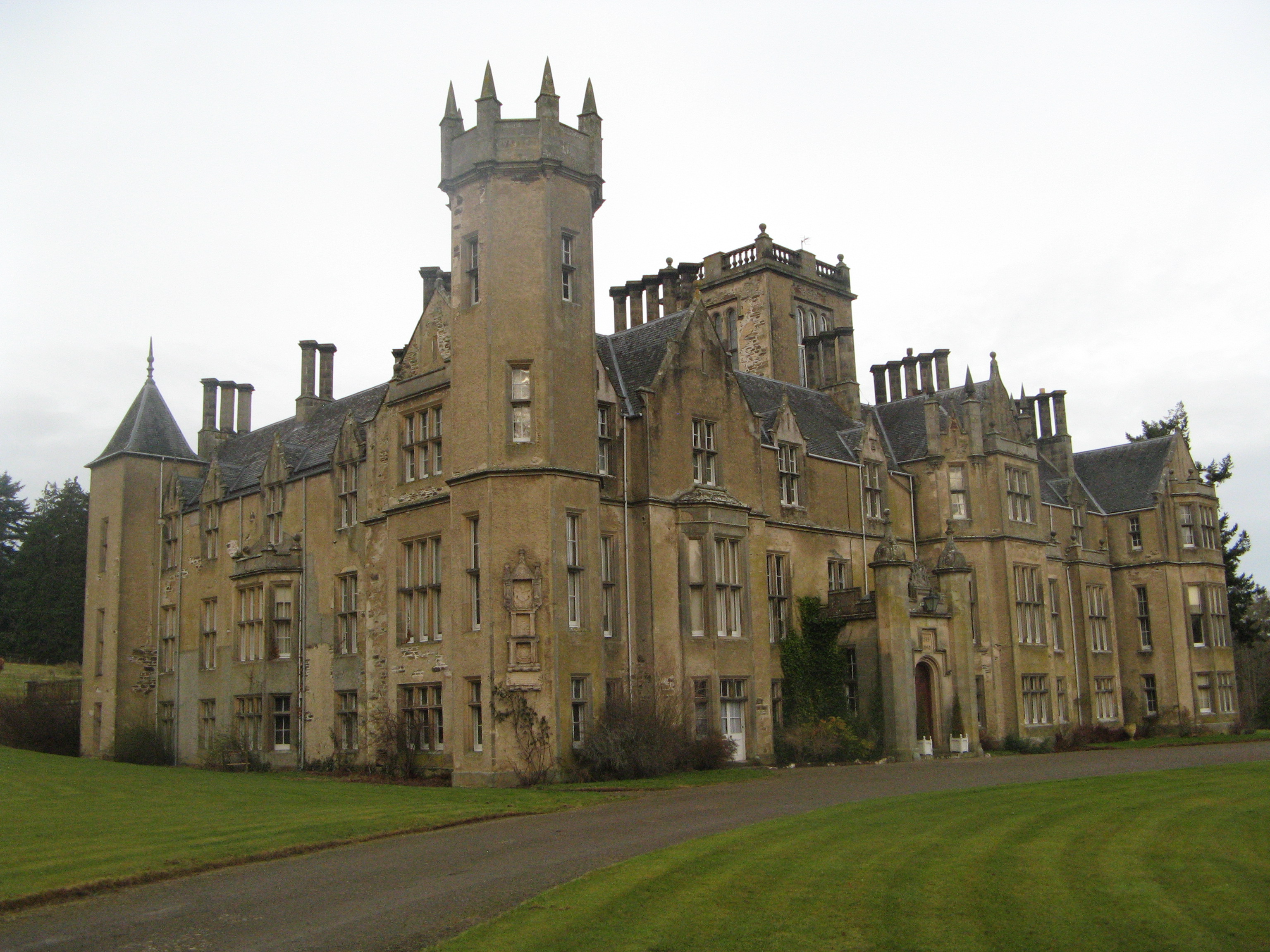
Forglen House

Forglen House is a mansion house that forms the centrepiece of the Forglen estate in the parish of Forglen, north-west of Turriff, Aberdeenshire, in the...

Inverkeithny

Inverkeithny is a village in the Formartine area of Aberdeenshire, Scotland. The village lies near where the Burn of Forgue flows into the River Deveron...

Dorlaithers Castle

Dorlaithers Castle was a castle about 2.5 miles (4.0 km) south-west of Turriff, Aberdeenshire, Scotland at Dorlaithers, south of the burn of Gask. It may...

Turriff Castle

Turriff Castle was a tower house, on Castlegate, Turriff, north of Idoch Water, Aberdeenshire, Scotland. The castle was also called Tower of Torrey of...

Turriff United F.C.

Turriff United Football Club are a senior football club currently playing in the Highland Football League in Scotland. They play their matches at The Haughs...

Nearby Amenities

Located within 500m of 57.554705,-2.5764986
Power: pole
Lat/Long: 57.5531594/-2.5819373
Power: pole
Lat/Long: 57.5528457/-2.581138
Power: pole
Lat/Long: 57.5524658/-2.5802153
Power: pole
Lat/Long: 57.5522787/-2.577163
Power: pole
Lat/Long: 57.5549116/-2.5688808
Power: pole
Lat/Long: 57.5552389/-2.5697338
Power: pole
Lat/Long: 57.555461/-2.57031
Power: pole
Lat/Long: 57.5555712/-2.571069
Power: pole
Lat/Long: 57.5557122/-2.5718576
Power: pole
Lat/Long: 57.5558446/-2.5725174
Power: pole
Lat/Long: 57.5559568/-2.5731719
Power: pole
Lat/Long: 57.556118/-2.5739443
Power: pole
Lat/Long: 57.5562533/-2.5746793
Power: pole
Lat/Long: 57.5521895/-2.5758809
Power: pole
Lat/Long: 57.5521751/-2.574352
Power: pole
Lat/Long: 57.5521722/-2.5726408
Power: pole
Lat/Long: 57.5521953/-2.5710046
Power: pole
Lat/Long: 57.5511827/-2.5812114
Power: pole
Lat/Long: 57.5515064/-2.5809617
Power: pole
Lat/Long: 57.5516987/-2.581468
Power: pole
Lat/Long: 57.5521006/-2.5825413
Power: pole
Lat/Long: 57.5505784/-2.5788503
Power: pole
Lat/Long: 57.5508842/-2.5795574
Power: pole
Lat/Long: 57.5511879/-2.5802311
Power: pole
Lat/Long: 57.5575956/-2.5815969
Power: pole
Lat/Long: 57.5576284/-2.5810772
Power: pole
Lat/Long: 57.5576839/-2.5801153
Power: pole
Lat/Long: 57.557747/-2.5791605
Power: pole
Lat/Long: 57.5574114/-2.5781846
Power: pole
Lat/Long: 57.5570733/-2.5772416
Power: pole
Lat/Long: 57.5567415/-2.5762703
Power: pole
Lat/Long: 57.5563984/-2.5753179
Power: pole
Lat/Long: 57.5569257/-2.5703464
Power: pole
Lat/Long: 57.556792/-2.5695798
Power: pole
Lat/Long: 57.5567024/-2.5690412
Power: pole
Lat/Long: 57.5563315/-2.569247
Power: pole
Lat/Long: 57.5559688/-2.5694363
Power: pole
Lat/Long: 57.5555915/-2.5695998
Generator Method: wind_turbine
Generator Output Electricity: yes
Generator Source: wind
Generator Type: horizontal_axis
Power: generator
Lat/Long: 57.5550175/-2.5792605
The data included in this document is from www.openstreetmap.org. The data is made available under ODbL.

Have you been to Ardreddie Hill?

Leave your review of Ardreddie Hill below (or comments, questions and feedback).