Auldtown Hill

Hill, Mountain in Banffshire

Scotland

Auldtown Hill

Field near Castlehill Looking southwards over a grassy field with Castlehill in the background amidst the trees.
Field near Castlehill Credit: Scott Cormie

Auldtown Hill, located in Banffshire, Scotland, is a prominent hill standing at an elevation of approximately 342 meters (1,122 feet). Situated in the northeastern region of the country, it forms part of the scenic landscape of the Cairngorms National Park, offering stunning panoramic views of the surrounding countryside.

The hill is renowned for its diverse flora and fauna, with an array of plant species thriving in its fertile soil. Visitors can expect to encounter heather, bracken, and various wildflowers, creating a vibrant tapestry of colors during the warmer months. The hill's rich biodiversity also attracts a wide range of bird species, making it a popular spot for birdwatching enthusiasts.

Auldtown Hill is accessible via well-marked hiking trails, making it an ideal destination for outdoor enthusiasts and nature lovers. The ascent to the summit is moderately challenging, providing a satisfying workout for hikers of various skill levels. Upon reaching the top, visitors are rewarded with breathtaking views of the surrounding Banffshire countryside, including sweeping vistas of rolling hills, lush valleys, and the sparkling waters of nearby lochs.

Aside from its natural beauty, Auldtown Hill also holds historical significance. The hill and its surroundings have witnessed human settlement for centuries, with remnants of ancient settlements and burial sites scattered throughout the area. Exploring these archaeological sites offers visitors a glimpse into the region's rich past and the lives of its early inhabitants.

In conclusion, Auldtown Hill is a captivating natural landmark in Banffshire, Scotland, offering a blend of scenic beauty, diverse wildlife, and a touch of history. A visit to this captivating hill promises an enriching experience for outdoor enthusiasts and those seeking to immerse themselves in Scotland's natural wonders.

If you have any feedback on the listing, please let us know in the comments section below.

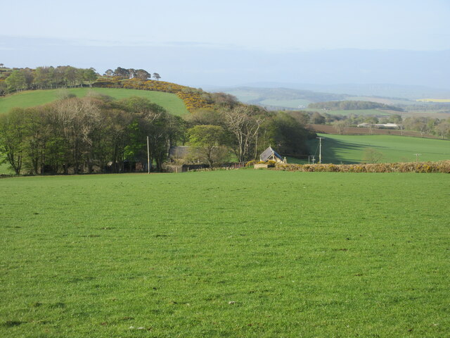
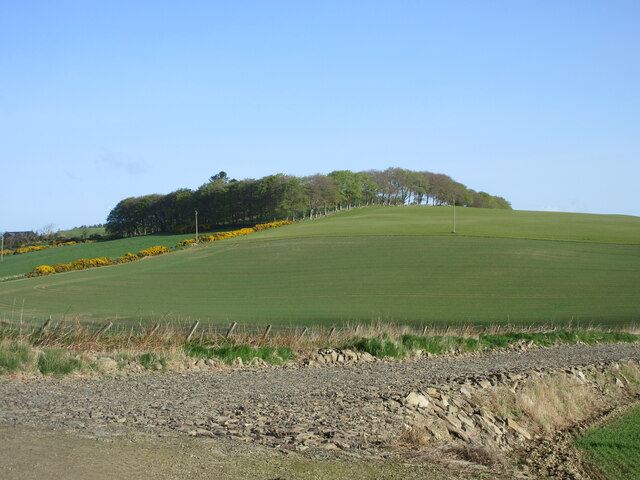
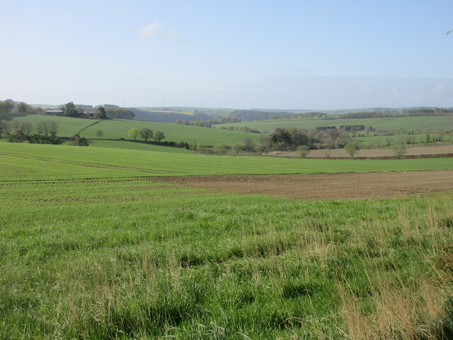
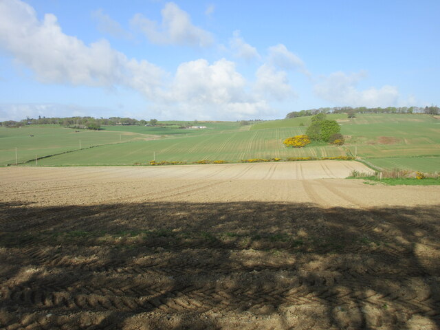
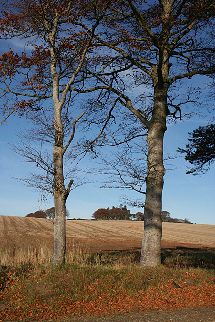
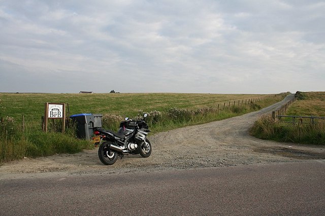
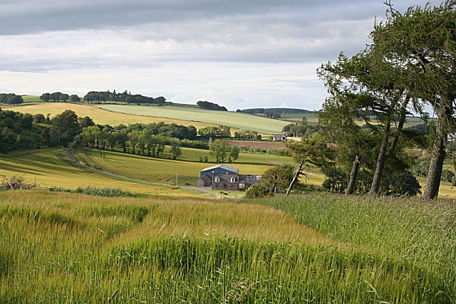
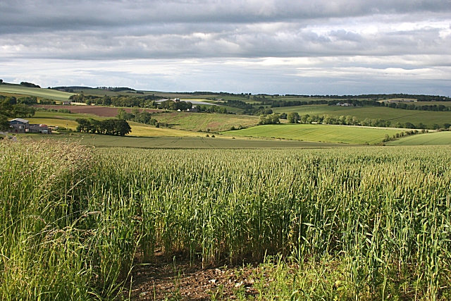
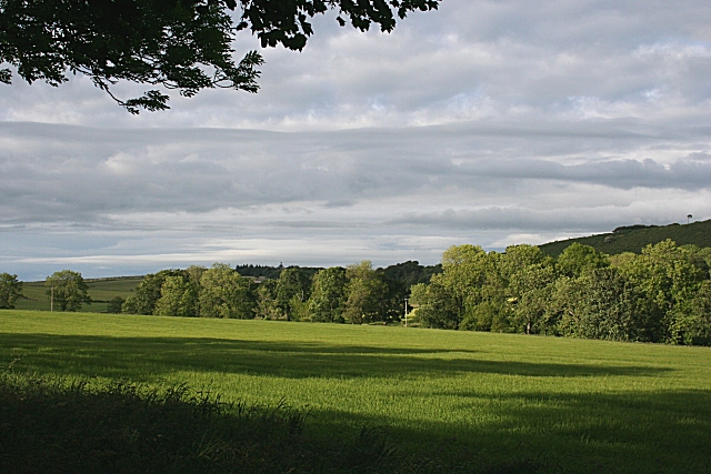
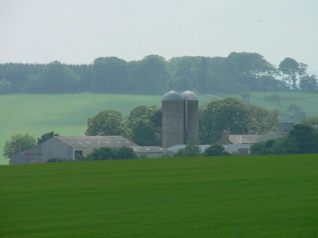
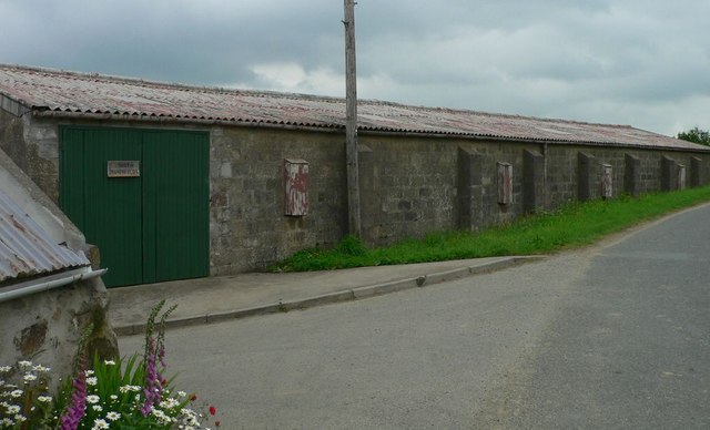
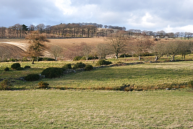
Auldtown Hill Images

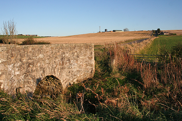
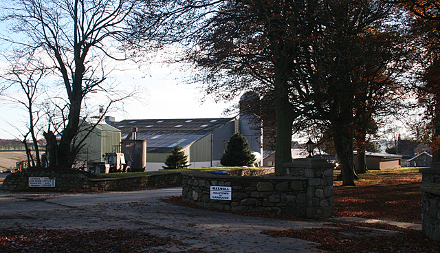
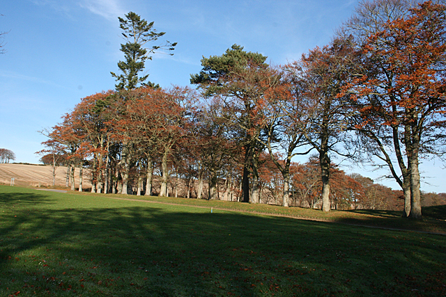
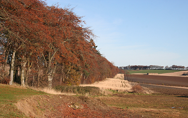
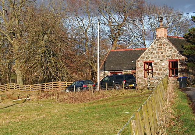
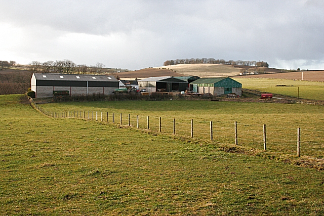
Images are sourced within 2km of 57.549829/-2.5839404 or Grid Reference NJ6551. Thanks to Geograph Open Source API. All images are credited.

Field near Castlehill Looking southwards over a grassy field with Castlehill in the background amidst the trees.
Field near Castlehill
Looking southwards over a grassy field with Castlehill in the background amidst the trees.
Ardreddie Hill Looking up Ardreddie Hill from the roadside near Auldtownhill.
Ardreddie Hill
Looking up Ardreddie Hill from the roadside near Auldtownhill.
Fields near Carnousie Looking southwards over countryside near Carnousie.
Fields near Carnousie
Looking southwards over countryside near Carnousie.
Aberdeenshire countryside Looking west over fields near Craiglug.
Aberdeenshire countryside
Looking west over fields near Craiglug.
Skeebhill Bridge The maps call the bridge Skeebhill and the farm at the top of the hill Skeibhill. Who says spelling is significant?
Skeebhill Bridge
The maps call the bridge Skeebhill and the farm at the top of the hill Skeibhill. Who says spelling is significant?
Auldtown of Carnousie The farm house, to the right, is dwarfed by extensive modern buildings.
Auldtown of Carnousie
The farm house, to the right, is dwarfed by extensive modern buildings.
Beech Avenue One of the characteristics of this part of the country is that many of the minor roads are lined with mature trees, often beeches.
Beech Avenue
One of the characteristics of this part of the country is that many of the minor roads are lined with mature trees, often beeches.
Near Carnousie An impressive belt of beeches lines the edge of the fields just north of Auldtown of Carnousie.
Near Carnousie
An impressive belt of beeches lines the edge of the fields just north of Auldtown of Carnousie.
Auldtown Hill Presumably the hill is named for Auldtown of Carnousie, which is on its lower slopes.
Auldtown Hill
Presumably the hill is named for Auldtown of Carnousie, which is on its lower slopes.
Farmhouse B&B at Hillhead.
Shargerwells A prosperous-looking farm amid rolling fields of cereal crops, mainly barley.
Shargerwells
A prosperous-looking farm amid rolling fields of cereal crops, mainly barley.
Shargerwells Barley is the most commonly grown cereal around here, but the foreground field in this view is planted with wheat.
Shargerwells
Barley is the most commonly grown cereal around here, but the foreground field in this view is planted with wheat.
Clunie Long evening shadows over a field at the Home farm of Clunie.
Clunie
Long evening shadows over a field at the Home farm of Clunie.
Auldtown of Carnousie
South Brokenfolds
South Brokenfolds
Near Carnousie Rolling farmland rising towards Auldtown Hill, which is in the next square.
Near Carnousie
Rolling farmland rising towards Auldtown Hill, which is in the next square.
Cottage at Carnousie This cottage is right on the junction of two minor roads.
Cottage at Carnousie
This cottage is right on the junction of two minor roads.
South Briggs Extensive farm buildings at South Briggs. The hill on the skyline is Ardreddie Hill and the farm on the shoulder of the hill is Craiglug, which is just inside the next square.
South Briggs
Extensive farm buildings at South Briggs. The hill on the skyline is Ardreddie Hill and the farm on the shoulder of the hill is Craiglug, which is just inside the next square.
Show me another place!

Auldtown Hill is located at Grid Ref: NJ6551 (Lat: 57.549829, Lng: -2.5839404)

Unitary Authority: Aberdeenshire

Police Authority: North East

What 3 Words

///acids.moment.fiction. Near Aberchirder, Aberdeenshire

Related Wikis

Bogton

Bogton is a rural area in Aberdeenshire, Scotland. To the south is Whitehill Wood and megalithic circle. == References ==

Whitehill Wood, Aberdeenshire

Whitehill Wood is a wood and megalithic stone circle in Aberdeenshire, Scotland, located off the B9025 road between Aberchirder and Turriff and between...

Aberchirder

Aberchirder (Scots: Fogieloan, Scottish Gaelic: Obar Chiardair) known locally as Foggieloan or Foggie, is a village in Aberdeenshire, Scotland, situated...
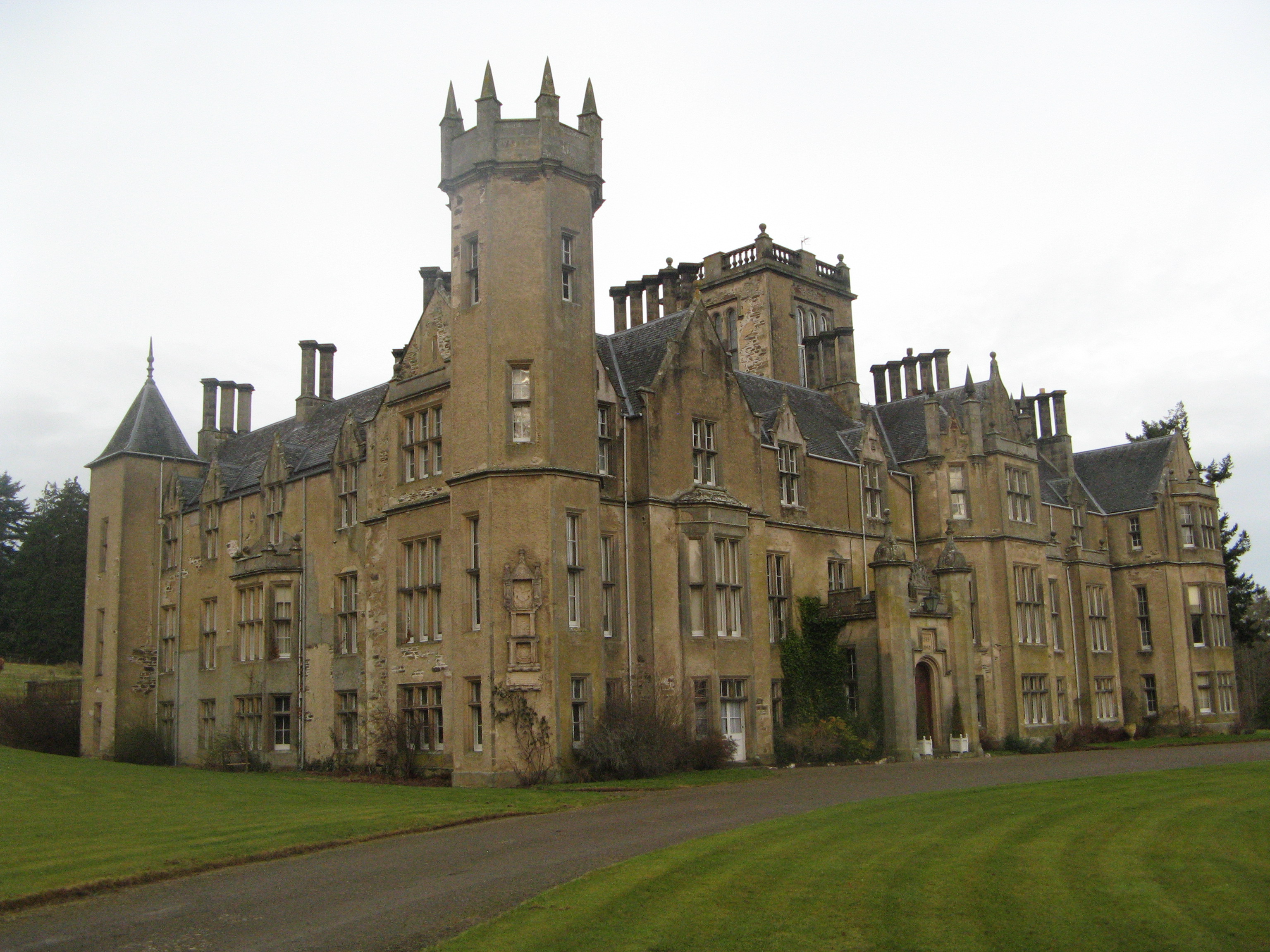
Forglen House

Forglen House is a mansion house that forms the centrepiece of the Forglen estate in the parish of Forglen, north-west of Turriff, Aberdeenshire, in the...

Nearby Amenities

Located within 500m of 57.549829,-2.5839404
Power: pole
Lat/Long: 57.5504103/-2.5818558
Power: pole
Lat/Long: 57.5508468/-2.582691
Power: pole
Lat/Long: 57.5514786/-2.5838658
Power: pole
Lat/Long: 57.551765/-2.5843996
Power: pole
Lat/Long: 57.5520614/-2.5849441
Power: pole
Lat/Long: 57.5523982/-2.5855824
Power: pole
Lat/Long: 57.5529407/-2.5865507
Power: pole
Lat/Long: 57.5534947/-2.5876021
Power: pole
Lat/Long: 57.5531594/-2.5819373
Power: pole
Lat/Long: 57.5528457/-2.581138
Power: pole
Lat/Long: 57.5524658/-2.5802153
Power: pole
Lat/Long: 57.5522787/-2.577163
Auldtown Hill
Natural: peak
Lat/Long: 57.5475441/-2.5791372
Power: pole
Lat/Long: 57.5456793/-2.5853755
Power: pole
Lat/Long: 57.5463109/-2.5849553
Power: pole
Lat/Long: 57.5469352/-2.5845607
Power: pole
Lat/Long: 57.5475443/-2.5841778
Power: pole
Lat/Long: 57.5480624/-2.5838546
Power: pole
Lat/Long: 57.5486615/-2.5834805
Power: pole
Lat/Long: 57.5491807/-2.5828792
Power: pole
Lat/Long: 57.5482117/-2.5826559
Power: pole
Lat/Long: 57.5477556/-2.5817941
Power: pole
Lat/Long: 57.5472994/-2.5808892
Power: pole
Lat/Long: 57.5471071/-2.5798786
Power: pole
Lat/Long: 57.5468223/-2.5784272
Power: pole
Lat/Long: 57.5477818/-2.576922
Power: pole
Lat/Long: 57.5499479/-2.5822573
Power: pole
Lat/Long: 57.5511827/-2.5812114
Power: pole
Lat/Long: 57.5515064/-2.5809617
Power: pole
Lat/Long: 57.5516987/-2.581468
Power: pole
Lat/Long: 57.5521006/-2.5825413
Power: pole
Lat/Long: 57.5505784/-2.5788503
Power: pole
Lat/Long: 57.5508842/-2.5795574
Power: pole
Lat/Long: 57.5511879/-2.5802311
The data included in this document is from www.openstreetmap.org. The data is made available under ODbL.

Have you been to Auldtown Hill?

Leave your review of Auldtown Hill below (or comments, questions and feedback).