Grey's Pike
Hill, Mountain in Northumberland
England
Grey's Pike

Grey's Pike is a prominent hill located in Northumberland, England. Standing at an elevation of 385 meters (1,263 feet), it is considered one of the major peaks in the area. Situated within the Northumberland National Park, Grey's Pike offers breathtaking panoramic views of the surrounding countryside.
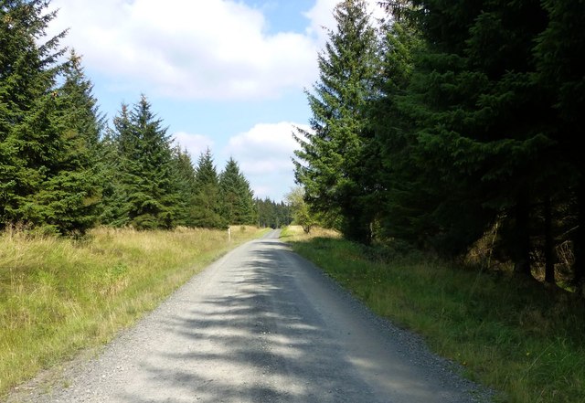
The hill is characterized by its distinctive conical shape, covered in a lush carpet of heather and grasses. Its slopes are moderately steep, making it a popular destination for hikers and nature enthusiasts. The hill is accessible from various directions, with well-maintained paths leading to the summit.
At the top of Grey's Pike, visitors can enjoy sweeping vistas of the Cheviot Hills to the south and the Scottish Borders to the north. On clear days, the view extends as far as the North Sea, creating a picturesque backdrop for photographers and nature lovers alike.
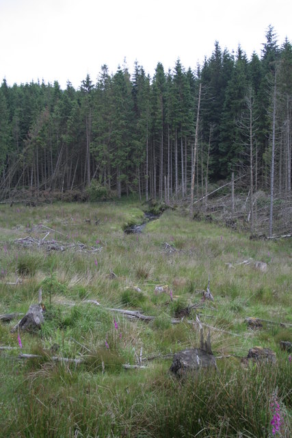
The area surrounding Grey's Pike is rich in wildlife, providing habitat for a range of species. Red grouse, curlews, and meadow pipits can often be spotted in the heather-covered moorland. Additionally, the hill is home to a variety of plant species, including bilberry and cotton grass.
Grey's Pike is a popular destination for outdoor activities such as hiking, birdwatching, and photography. Its accessibility, stunning views, and diverse flora and fauna attract visitors from across the region, making it a must-visit location for those seeking a taste of Northumberland's natural beauty.
If you have any feedback on the listing, please let us know in the comments section below.
Grey's Pike Images
Images are sourced within 2km of 55.240169/-2.5426256 or Grid Reference NY6594. Thanks to Geograph Open Source API. All images are credited.


Grey's Pike is located at Grid Ref: NY6594 (Lat: 55.240169, Lng: -2.5426256)
Unitary Authority: Northumberland
Police Authority: Northumbria
What 3 Words
///agreeable.slip.couch. Near Rochester, Northumberland
Nearby Locations
Related Wikis
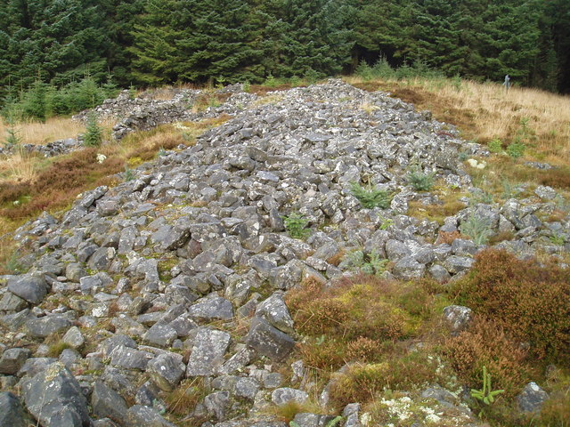
Devil's Lapful
Devil's Lapful is an archaeological site in Northumberland, England, in Kielder Forest about 0.8 miles (1.3 km) south-east of Kielder. The site, a Neolithic...

Butteryhaugh
Butteryhaugh is a village in Northumberland, in England. It is situated a short distance to the south-east of Kielder. Although a separate "village" from...

Kielder
Kielder is a small, remote village in western Northumberland, England. Located at the head of Kielder Water and in the north west of Kielder Forest, the...

Plashetts
Plashetts is a small settlement in Northumberland, in England south east of Kielder, Northumberland. It is about 22 miles (35 km) north west of Hexham...
Nearby Amenities
Located within 500m of 55.240169,-2.5426256Have you been to Grey's Pike?
Leave your review of Grey's Pike below (or comments, questions and feedback).