Paddaburn Hill
Hill, Mountain in Cumberland Carlisle
England
Paddaburn Hill
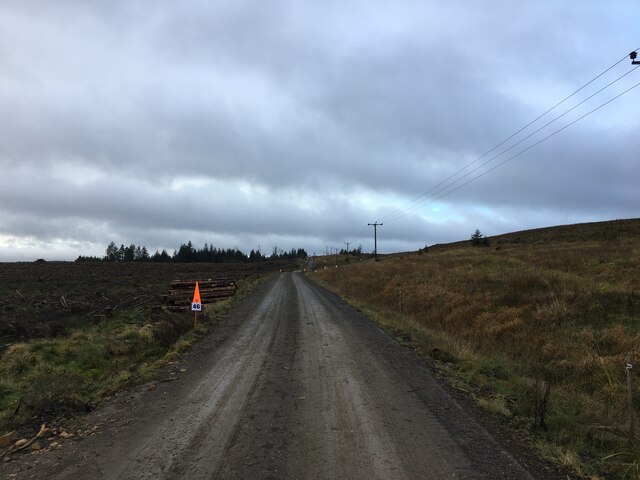
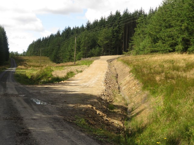
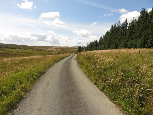
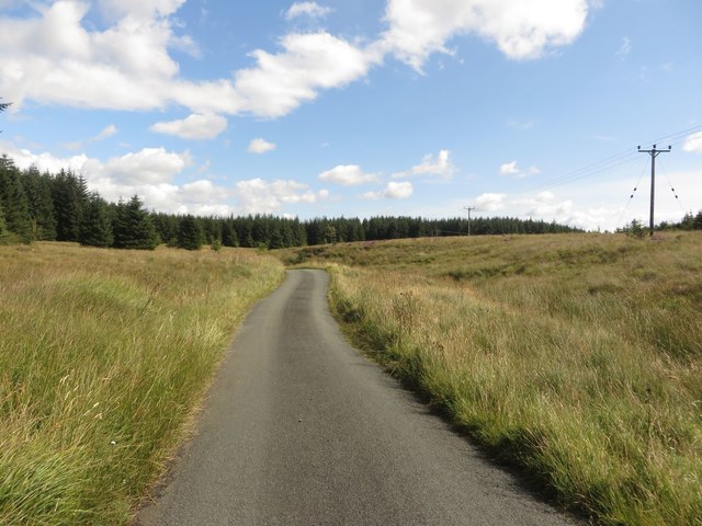
Paddaburn Hill, located in Cumberland, is a prominent hill and natural landmark in the county of Cumbria, England. This hill is situated within the picturesque Lake District National Park, renowned for its stunning scenery and rich biodiversity.
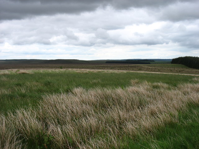
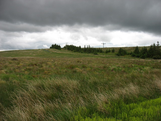
Standing at an elevation of approximately 500 meters (1,640 feet), Paddaburn Hill offers breathtaking panoramic views of the surrounding countryside. Its summit provides an excellent vantage point to admire the rolling hills, verdant valleys, and shimmering lakes that define this region. On clear days, visitors are rewarded with vistas that stretch as far as the eye can see, offering glimpses of notable landmarks such as the Skiddaw and Helvellyn mountain ranges.
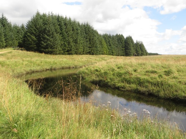
The hill's name, Paddaburn, is derived from the Old Norse word "pad," meaning toad or frog, and "burn," meaning stream. This name suggests a historical connection to the area's wildlife and water sources. Indeed, Paddaburn Hill is home to a diverse range of flora and fauna, including several species of birds, butterflies, and wildflowers. The hill's habitat supports a healthy population of toads and frogs, further reinforcing the origin of its name.
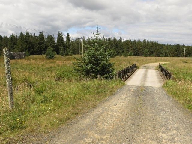
Paddaburn Hill is a popular destination for outdoor enthusiasts, offering various walking trails and hiking routes suitable for all levels of experience. Many visitors choose to embark on the hike from nearby villages such as Caldbeck or Hesket Newmarket, allowing them to immerse themselves in the stunning natural beauty of the area.
In conclusion, Paddaburn Hill is an enchanting natural landmark in Cumberland's Lake District National Park, offering breathtaking views, diverse wildlife, and ample opportunities for outdoor exploration and adventure.
If you have any feedback on the listing, please let us know in the comments section below.
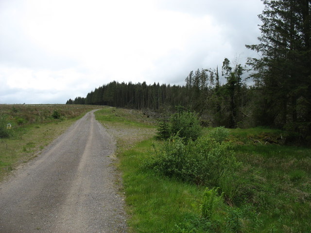
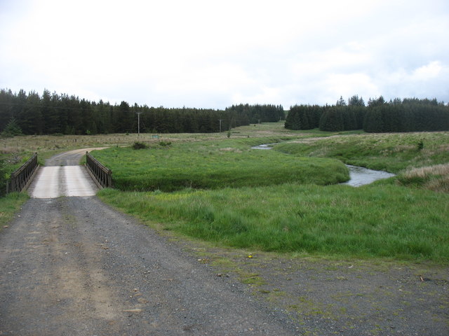
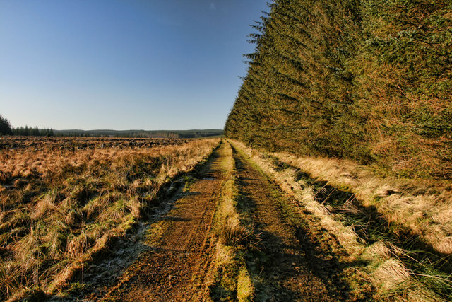
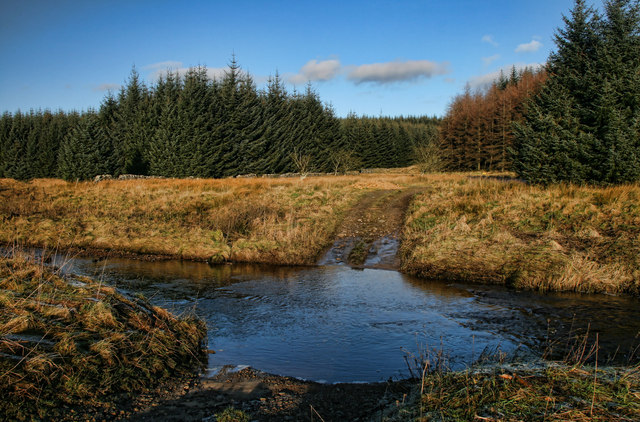
Paddaburn Hill Images
Images are sourced within 2km of 55.082795/-2.5408993 or Grid Reference NY6576. Thanks to Geograph Open Source API. All images are credited.


Paddaburn Hill is located at Grid Ref: NY6576 (Lat: 55.082795, Lng: -2.5408993)
Administrative County: Cumbria
District: Carlisle
Police Authority: Cumbria
What 3 Words
///saunas.delays.miss. Near Greenhead, Northumberland
Nearby Locations
Related Wikis

Churnsike Lodge
Churnsike Lodge is an early Victorian hunting lodge situated in the parish of Greystead, West Northumberland, England. Constructed in 1850 by the Charlton...

Sighty Crag
Sighty Crag is a hill in the southern part of the Kielder Forest region in northern England, a region which also includes its fellow Marilyns of Peel Fell...

RAF Spadeadam
RAF Spadeadam (pronounced "Spade Adam") (IATA: N/A, ICAO: EGOM) is a Royal Air Force (RAF) station in Cumbria, England, close to the border with Northumberland...

Wark Forest
Wark Forest is the southern part of Kielder Forest in Northumberland, England. Wark Forest is found within the south-west tip of Northumberland National...

Kingwater
Kingwater is a civil parish in City of Carlisle district, Cumbria, England. At the 2011 census it had a population of 170.The parish is bordered to the...

Popping Stone
The Popping Stone is a group of three rounded boulders in the Irthing Gorge near the village of Gilsland. It was not always this shape, however, and photographs...

Gilsland Spa
Gilsland Spa is the present-day name of a hotel at Gilsland, Cumbria, England. It is named from the sulphurous spring which issues from a cliff below...

Bewcastle Castle
Bewcastle Castle is a ruined castle in the parish of Bewcastle in the English county of Cumbria, a few miles from the Scottish border. == History == The...
Nearby Amenities
Located within 500m of 55.082795,-2.5408993Have you been to Paddaburn Hill?
Leave your review of Paddaburn Hill below (or comments, questions and feedback).