Kettle Pool

Lake, Pool, Pond, Freshwater Marsh in Cumberland Carlisle

England

Kettle Pool

Gravel road near Churnsike Lodge
Gravel road near Churnsike Lodge Credit: Steven Brown

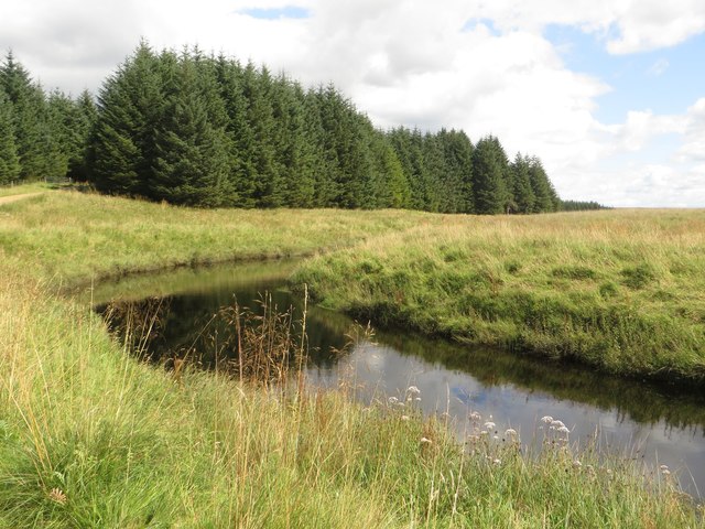
Kettle Pool, located in Cumberland, is a picturesque body of water that encompasses a diverse ecosystem. It is classified as a kettle pool, which is essentially a type of freshwater lake or pond formed by the melting of glacial ice. This unique geological feature has resulted in the creation of a circular depression in the landscape, filled with water.

The pool itself is relatively small, with a diameter of approximately 100 meters. It is surrounded by a mixture of vegetation, including shrubs, grasses, and trees, which provide habitat for a variety of wildlife species. The water in Kettle Pool is clear and relatively shallow, with depths ranging from 1 to 5 meters. It is fed primarily by rainfall and groundwater, ensuring its freshwater status.

The pool's ecosystem supports a diverse range of aquatic life, including various fish species, such as bass and trout, as well as amphibians like frogs and salamanders. Bird species, such as ducks and herons, are commonly seen around the pool, attracted by the abundance of food sources.

Kettle Pool also serves as an important breeding ground for various aquatic plants, which thrive in the nutrient-rich waters. These plants not only provide shelter for smaller organisms but also contribute to maintaining the pool's ecological balance.

As a popular recreational spot, Kettle Pool offers opportunities for swimming, fishing, and picnicking. The picturesque surroundings and tranquil ambiance make it an ideal location for nature enthusiasts seeking to immerse themselves in Cumberland's natural beauty.

If you have any feedback on the listing, please let us know in the comments section below.
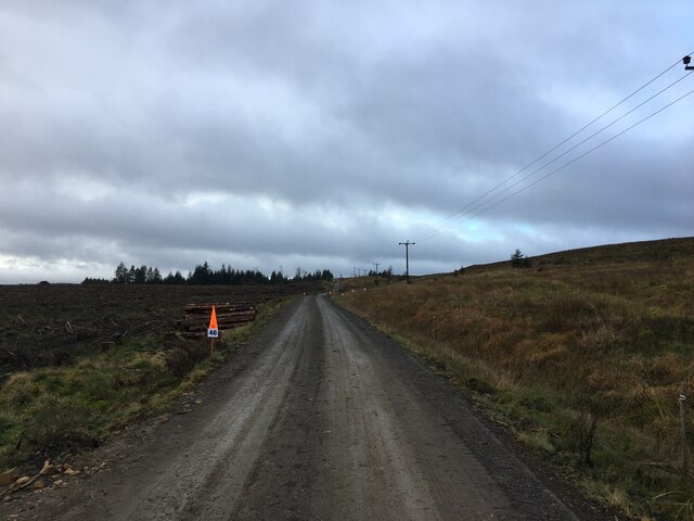
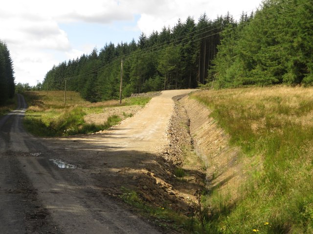
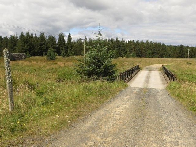
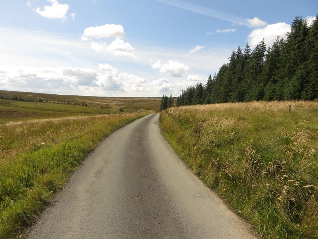
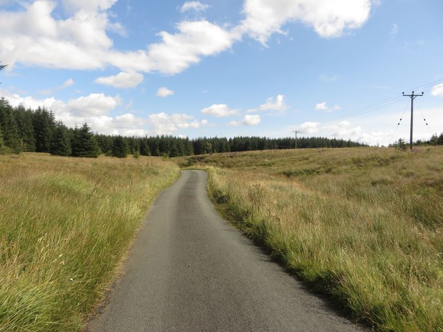
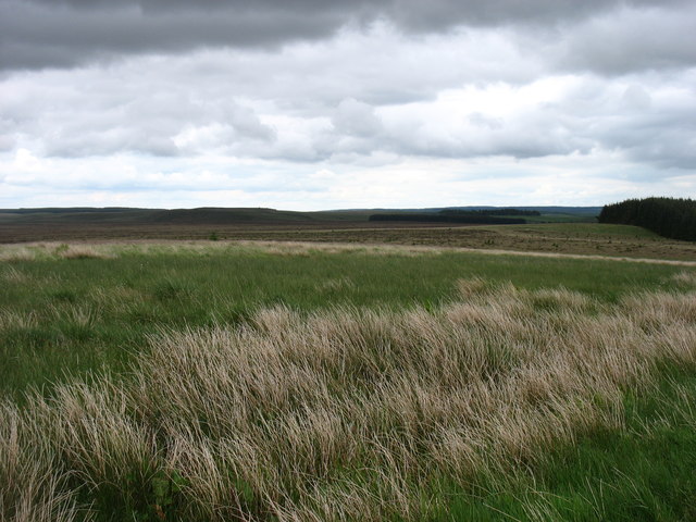
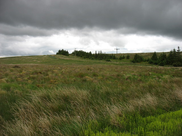
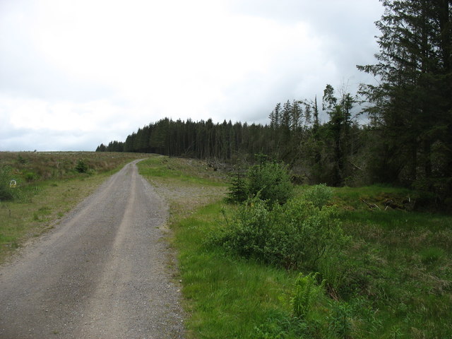
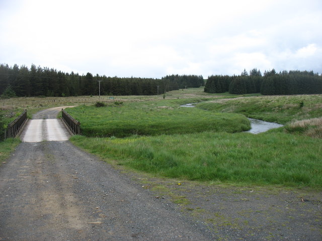
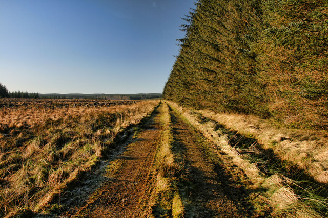
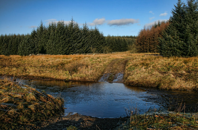
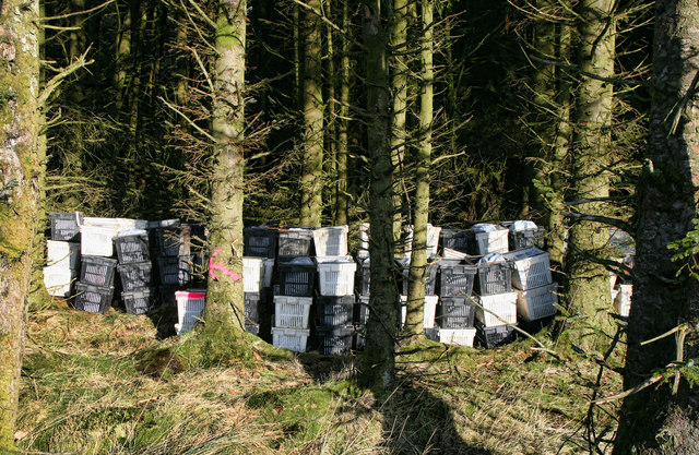
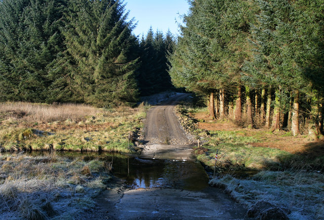
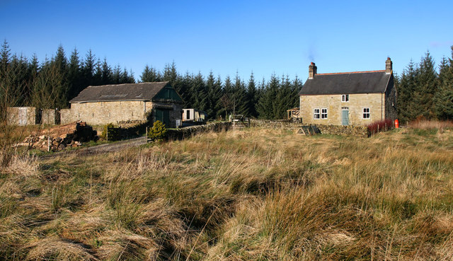
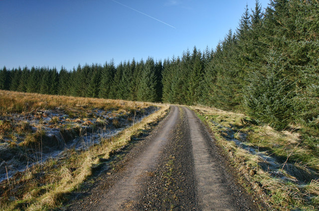
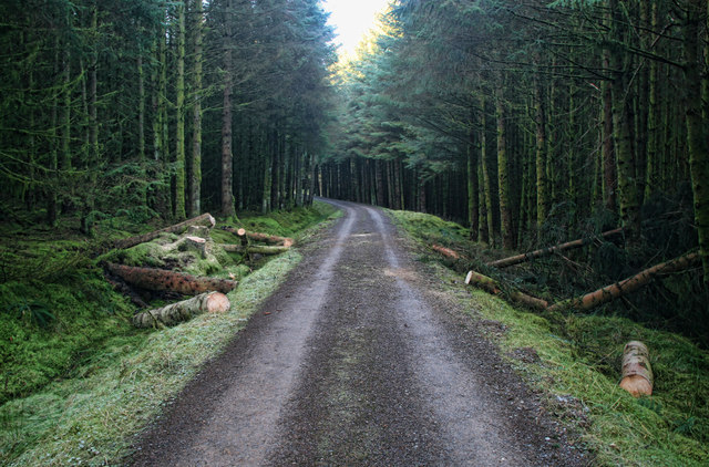
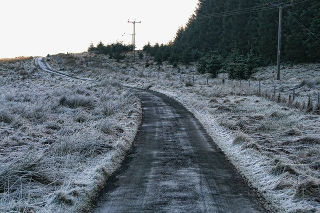
Kettle Pool Images

Images are sourced within 2km of 55.081295/-2.5488207 or Grid Reference NY6576. Thanks to Geograph Open Source API. All images are credited.

Gravel road near Churnsike Lodge
New track, Wark Forest A new track constructed to provide plant access to a block of trees in Wark Forest which are soon to be clear felled.
New track, Wark Forest
A new track constructed to provide plant access to a block of trees in Wark Forest which are soon to be clear felled.
The River Irthing near Churnsike Lodge A bend in the River Irthing close to the isolated buildings at Churnsike Lodge.
The River Irthing near Churnsike Lodge
A bend in the River Irthing close to the isolated buildings at Churnsike Lodge.
Bridge over the River Irthing The bridge crossing the River Irthing to the south of Churnsike Lodge. The public road ends here but a track carries on providing access to Wark Forest.
Bridge over the River Irthing
The bridge crossing the River Irthing to the south of Churnsike Lodge. The public road ends here but a track carries on providing access to Wark Forest.
Country road south of Churnside Lodge Looking along the quiet country lane which only provides access to Wark Forest and a small number of isolated houses.
Country road south of Churnside Lodge
Looking along the quiet country lane which only provides access to Wark Forest and a small number of isolated houses.
Country road near Gowany Knowe The minor country road passing between dense plantations.
Country road near Gowany Knowe
The minor country road passing between dense plantations.
Butterburn Flow Butterburn Flow is an extensive area of blanket bog which is a Nature Reserve. There are no paths on the reserve and the terrain is uneven with regular blocked drains, so it requires care in exploration.
Butterburn Flow
Butterburn Flow is an extensive area of blanket bog which is a Nature Reserve. There are no paths on the reserve and the terrain is uneven with regular blocked drains, so it requires care in exploration.
The Butterburn Road The Butterburn road is here heading towards Butterburn Farm and Gilsland, over the slight rise called Birky Shank. The most westerly part of Butterburn Flow is on the left.
The Butterburn Road
The Butterburn road is here heading towards Butterburn Farm and Gilsland, over the slight rise called Birky Shank. The most westerly part of Butterburn Flow is on the left.
The Butterburn Road Near the end of the public road, and here looking south, back towards Butterburn Farm and Gilsland.
The Butterburn Road
Near the end of the public road, and here looking south, back towards Butterburn Farm and Gilsland.
The end of the (public) Butterburn Road The track ahead leads to Churnsike Lodge. It is a public bridleway but, strictly, not open to vehicles. There are many tracks and cycle routes ahead in the expanse of Wark Forest. The bridge crosses the infant River Irthing.
The end of the (public) Butterburn Road
The track ahead leads to Churnsike Lodge. It is a public bridleway but, strictly, not open to vehicles. There are many tracks and cycle routes ahead in the expanse of Wark Forest. The bridge crosses the infant River Irthing.
Braid Loans Track through Spadeadam Forest near Braid Loans.
Braid Loans
Track through Spadeadam Forest near Braid Loans.
Double Haugh Ford crossing the River Irthing at Double Haugh near Paddaburn.
Double Haugh
Ford crossing the River Irthing at Double Haugh near Paddaburn.
Breakshaw Hill Boxes of seedlings ready for planting at Breakshaw Hill in Spadeadam Forest.
Breakshaw Hill
Boxes of seedlings ready for planting at Breakshaw Hill in Spadeadam Forest.
Potsloan Ford crossing Hazel Gill at Potsloan.
Potsloan
Ford crossing Hazel Gill at Potsloan.
Potsloan Hidden deep in Spadeadam Forest.
Potsloan
Hidden deep in Spadeadam Forest.
Spur Rigg Track in Spadeadam Forest near Spur Rigg.
Spur Rigg
Track in Spadeadam Forest near Spur Rigg.
Gringarry Hill Track in Spadeadam Forest near Gringarry Hill.  The recent high winds have felled a lot of trees.
Gringarry Hill
Track in Spadeadam Forest near Gringarry Hill. The recent high winds have felled a lot of trees.
Birky Shank Road leading up Birky Shank.
Birky Shank
Road leading up Birky Shank.
Show me another place!

Kettle Pool is located at Grid Ref: NY6576 (Lat: 55.081295, Lng: -2.5488207)

Administrative County: Cumbria

District: Carlisle

Police Authority: Cumbria

What 3 Words

///soaps.consoled.taxed. Near Greenhead, Northumberland

Related Wikis

Churnsike Lodge

Churnsike Lodge is an early Victorian hunting lodge situated in the parish of Greystead, West Northumberland, England. Constructed in 1850 by the Charlton...

Sighty Crag

Sighty Crag is a hill in the southern part of the Kielder Forest region in northern England, a region which also includes its fellow Marilyns of Peel Fell...

RAF Spadeadam

RAF Spadeadam (pronounced "Spade Adam") (IATA: N/A, ICAO: EGOM) is a Royal Air Force (RAF) station in Cumbria, England, close to the border with Northumberland...

Kingwater

Kingwater is a civil parish in City of Carlisle district, Cumbria, England. At the 2011 census it had a population of 170.The parish is bordered to the...

Popping Stone

The Popping Stone is a group of three rounded boulders in the Irthing Gorge near the village of Gilsland. It was not always this shape, however, and photographs...

Wark Forest

Wark Forest is the southern part of Kielder Forest in Northumberland, England. Wark Forest is found within the south-west tip of Northumberland National...

Bewcastle Castle

Bewcastle Castle is a ruined castle in the parish of Bewcastle in the English county of Cumbria, a few miles from the Scottish border. == History == The...

Bewcastle Cross

The Bewcastle Cross is an Anglo-Saxon cross which is still in its original position within the churchyard of St Cuthbert's church at Bewcastle, in the...

Nearby Amenities

Located within 500m of 55.081295,-2.5488207
Wreayhill House
Place: locality
Lat/Long: 55.0799756/-2.5498107
Andrew's Haugh
Place: locality
Lat/Long: 55.0820768/-2.5548222
Wreay Hill
Place: locality
Lat/Long: 55.0800435/-2.5522935
The data included in this document is from www.openstreetmap.org. The data is made available under ODbL.

Have you been to Kettle Pool?

Leave your review of Kettle Pool below (or comments, questions and feedback).