Bury Hill
Hill, Mountain in Gloucestershire
England
Bury Hill
Bury Hill is a prominent hill located in the county of Gloucestershire, England. It is situated near the village of Bury, about 5 miles south-east of the town of Tetbury. Rising to an elevation of approximately 287 meters (942 feet), Bury Hill is considered one of the highest points in the region, offering stunning panoramic views of the surrounding countryside.
The hill itself is characterized by its gentle slopes and lush green vegetation. It is primarily composed of limestone, which contributes to its distinctive appearance. Visitors to Bury Hill can enjoy a variety of outdoor activities, including hiking, walking, and picnicking. Several footpaths traverse the hill, providing access to its summit and allowing visitors to explore the area.
Bury Hill is also known for its rich wildlife and is home to a diverse range of flora and fauna. The surrounding woodlands are inhabited by various species of birds, including woodpeckers, owls, and songbirds. Additionally, the hill's open grassy areas attract butterflies and other insects during the summer months.
Historically, Bury Hill has played a significant role in the local community. In the past, it was used for agricultural purposes, with fields and pastures covering its slopes. Today, it serves as a recreational area and a place of natural beauty, attracting both locals and tourists alike.
Overall, Bury Hill in Gloucestershire offers a serene and picturesque setting, allowing visitors to immerse themselves in nature and enjoy breathtaking views of the surrounding countryside.
If you have any feedback on the listing, please let us know in the comments section below.
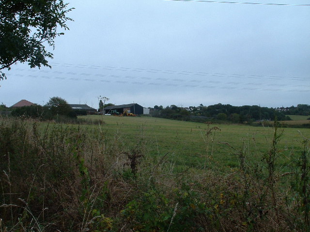
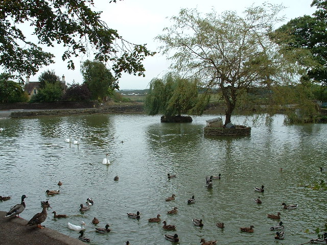
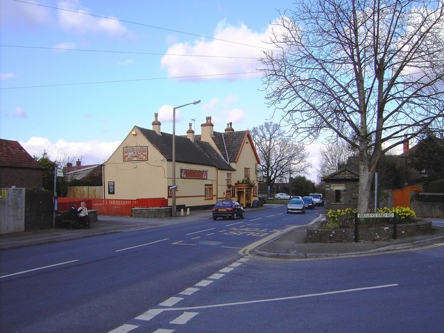
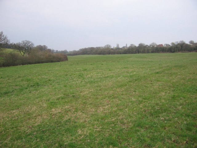
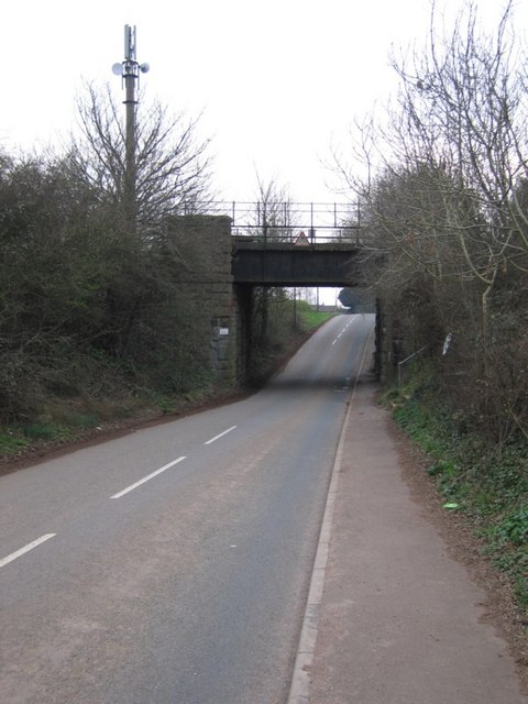
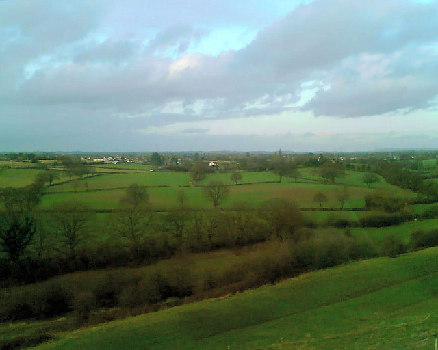
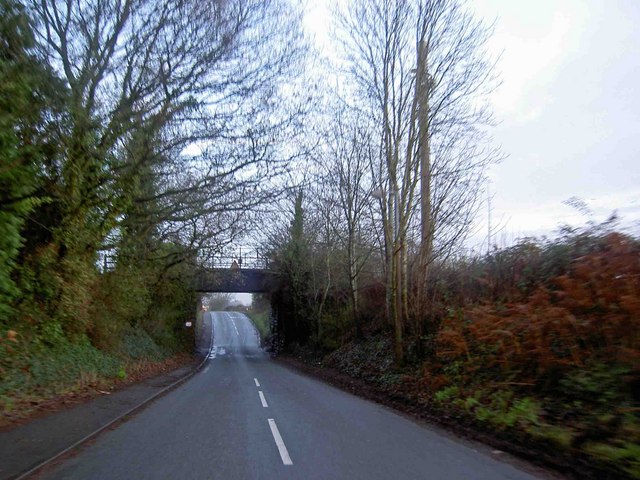
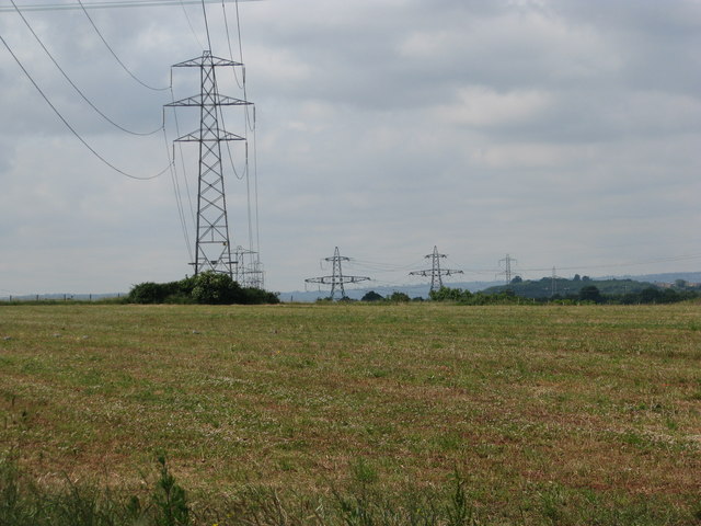
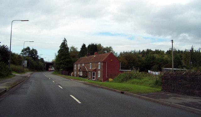
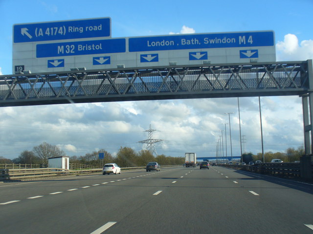
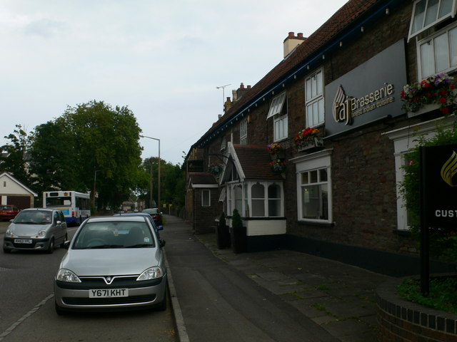
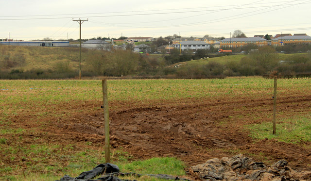
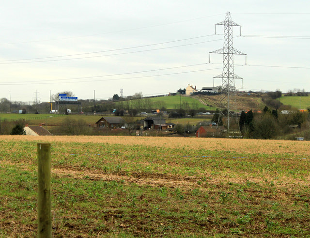
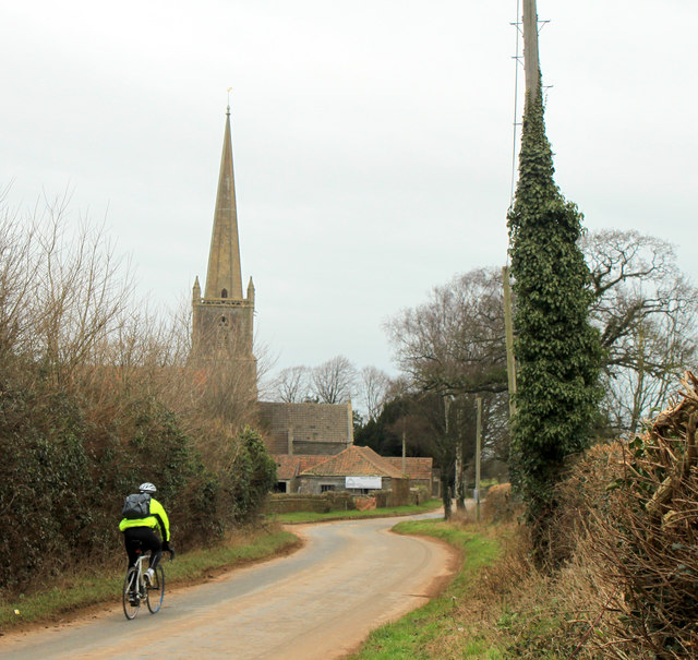
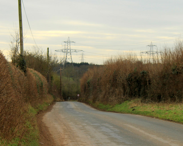
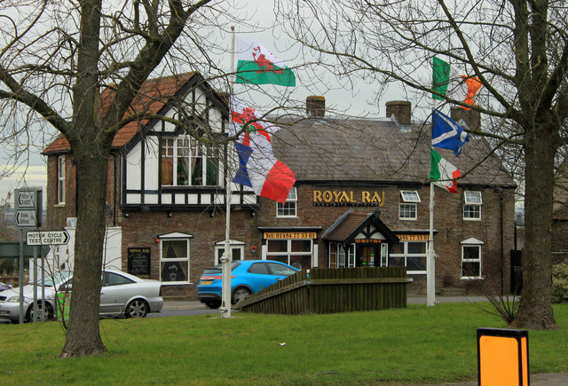
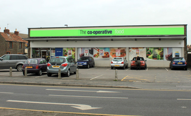
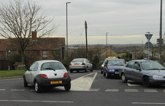
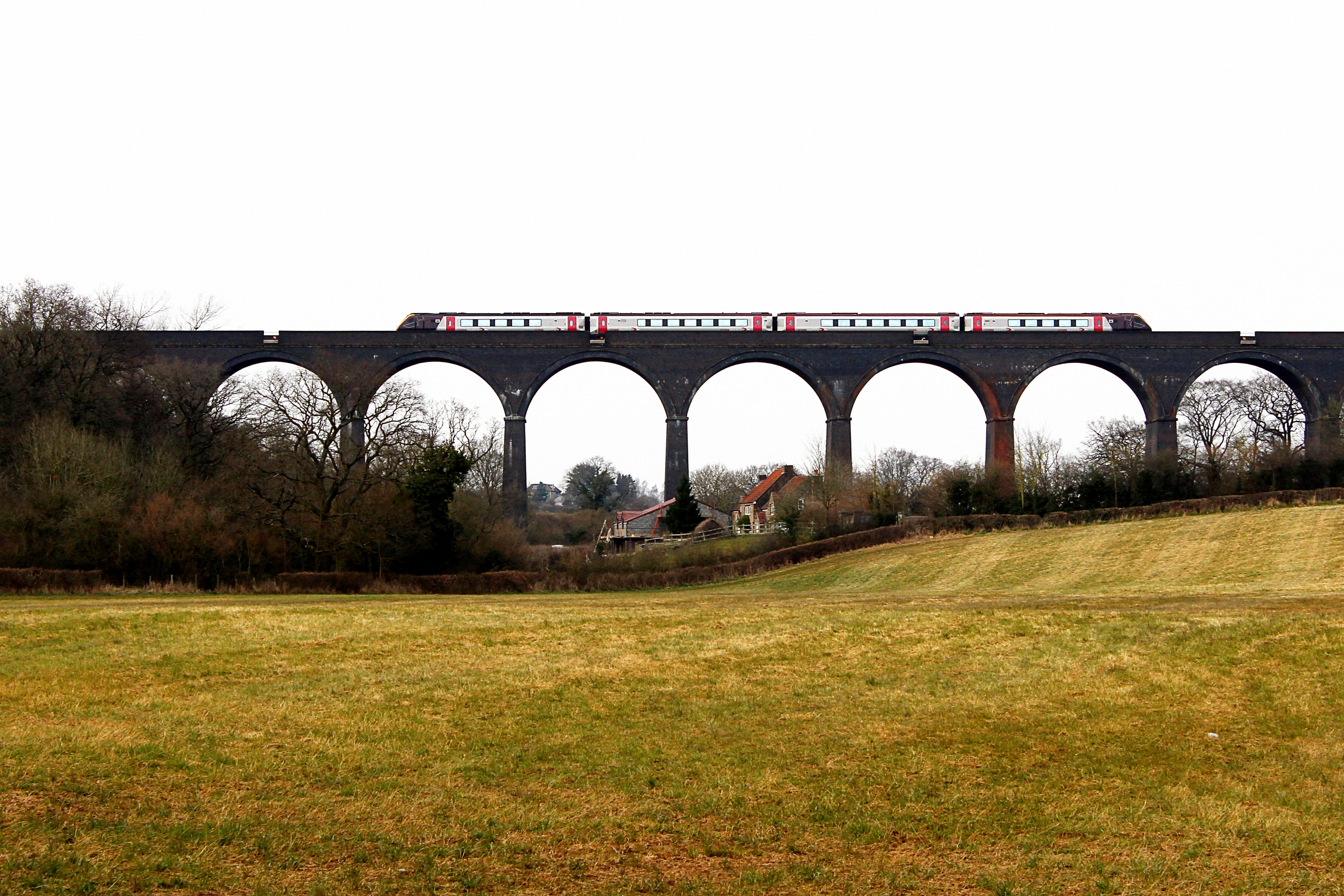
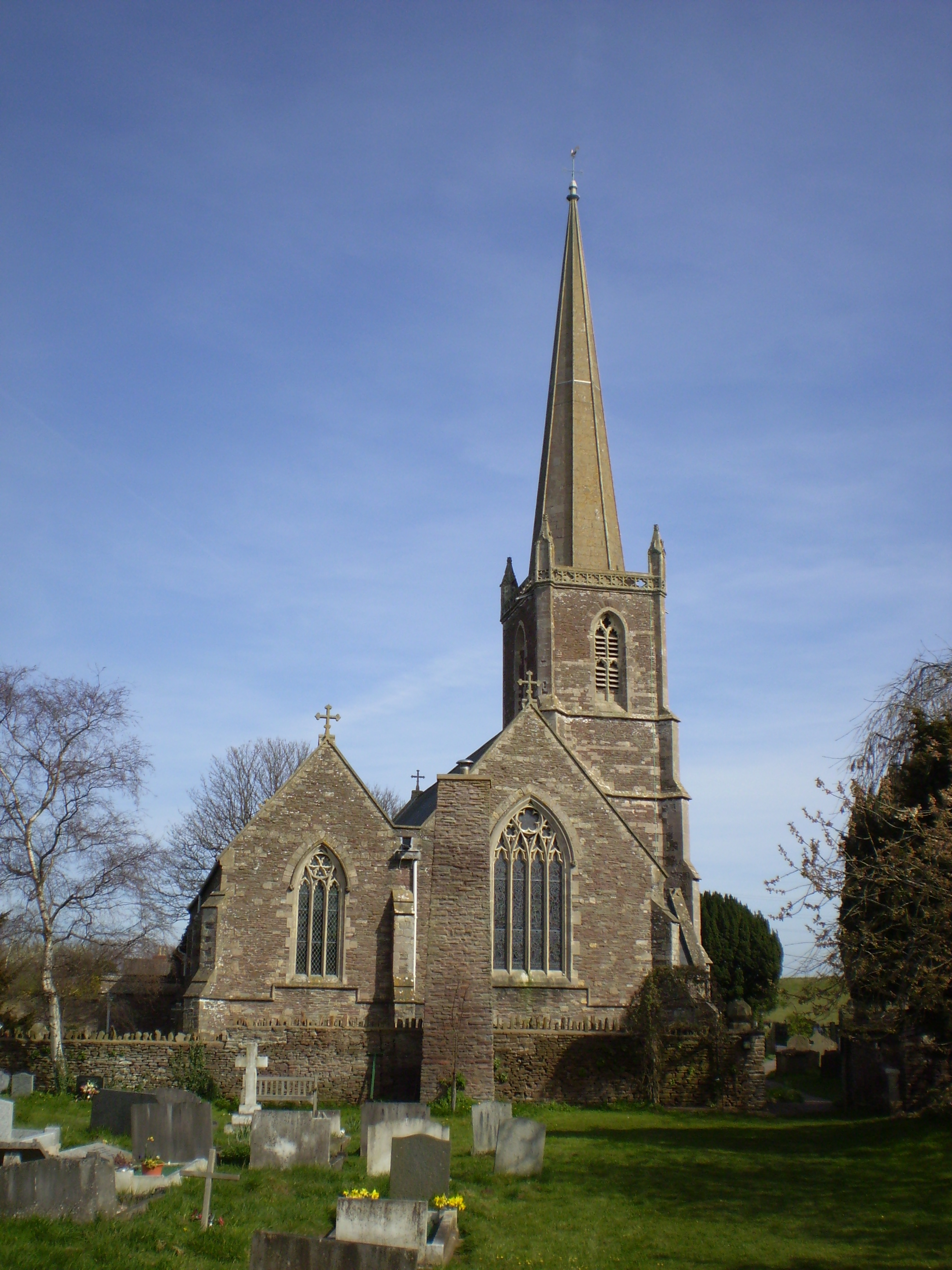
Bury Hill Images
Images are sourced within 2km of 51.511012/-2.5017538 or Grid Reference ST6579. Thanks to Geograph Open Source API. All images are credited.
Bury Hill is located at Grid Ref: ST6579 (Lat: 51.511012, Lng: -2.5017538)
Unitary Authority: South Gloucestershire
Police Authority: Avon and Somerset
What 3 Words
///vine.staple.donor. Near Winterbourne, Gloucestershire
Nearby Locations
Related Wikis

Winterbourne Railway Cutting
Winterbourne Railway Cutting (grid reference ST651799) is a 1.99 hectare geological Site of Special Scientific Interest near the village of Winterbourne...

Winterbourne railway station
Winterbourne railway station served the South Gloucestershire village of Winterbourne, England, from 1903 to 1963. == Future == Improved services on the...
Huckford Viaduct
The Huckford Viaduct spans the River Frome just north of Winterbourne Down in South Gloucestershire, England. It presently forms part of the Badminton...

Winterbourne Down, Gloucestershire
Winterbourne Down is a village in South Gloucestershire, England, located on the north-eastern outskirts of Bristol. It is also part of the Civil Parish...

Hambrook
Hambrook is a village in South Gloucestershire, England, situated on the north-eastern outskirts of the city of Bristol. It lies between the larger communities...

A4174 road
The A4174 is a major ring road in England which runs around the northern and eastern edge of Bristol, mainly in South Gloucestershire, and through the...

Kendleshire
Kendleshire is a small scattered settlement in South Gloucestershire, England, between Winterbourne Down and Henfield. Kendleshire hamlet includes about...
Winterbourne, Gloucestershire
Winterbourne is a large village in South Gloucestershire, England, situated just beyond the north fringe of Bristol. The village had a population of 8...
Nearby Amenities
Located within 500m of 51.511012,-2.5017538Have you been to Bury Hill?
Leave your review of Bury Hill below (or comments, questions and feedback).