Winterbourne Down
Settlement in Gloucestershire
England
Winterbourne Down

Winterbourne Down is a small village situated in the county of Gloucestershire, England. It is located approximately eight miles north of the city of Bristol and lies within the South Gloucestershire district. The village is nestled on the edge of the Cotswolds, a designated Area of Outstanding Natural Beauty.
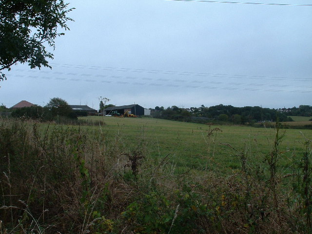
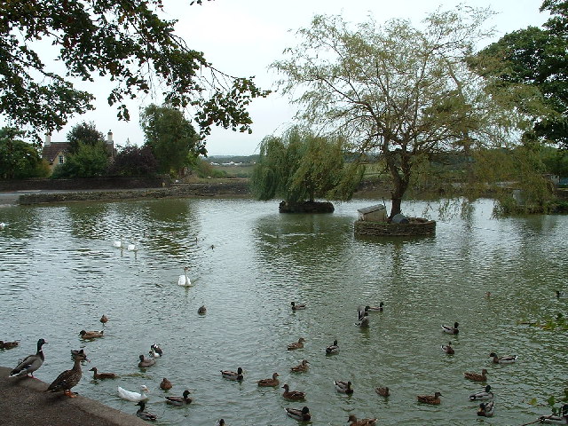
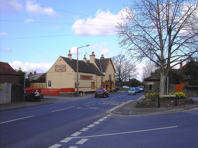
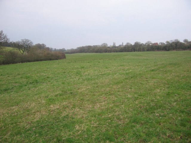
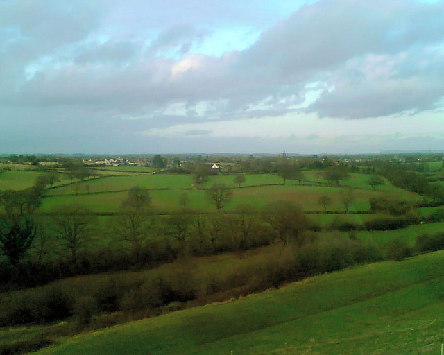
Winterbourne Down boasts a charming rural setting, surrounded by picturesque countryside and rolling hills. The village itself is characterized by its quaint cottages and traditional architecture, giving it a distinctly English village feel. The local community is tight-knit, with a population of around 2,500 residents.
One notable feature of Winterbourne Down is the presence of the historic Winterbourne Medieval Barn. This 14th-century Grade II* listed building is a remnant of the village's agricultural past and serves as a cultural hub for the community. It hosts various events and exhibitions throughout the year, attracting visitors from near and far.
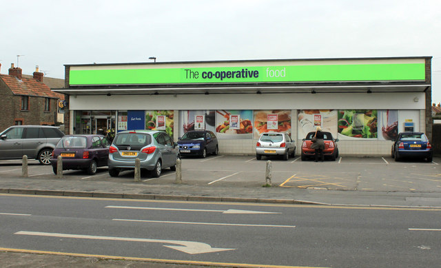
The village benefits from a range of amenities, including a primary school, a village hall, a community center, and a local pub. Additionally, the nearby town of Winterbourne provides further services and facilities, such as shops, restaurants, and medical facilities.
Outdoor enthusiasts are drawn to Winterbourne Down due to its proximity to vast green spaces and nature reserves. The nearby Frome Valley Walkway offers scenic trails for walking, running, and cycling, allowing residents and visitors to enjoy the beauty of the surrounding countryside.
In conclusion, Winterbourne Down is a charming village located in the heart of Gloucestershire. With its idyllic setting, rich history, and strong sense of community, it offers a peaceful and picturesque place to call home.
If you have any feedback on the listing, please let us know in the comments section below.
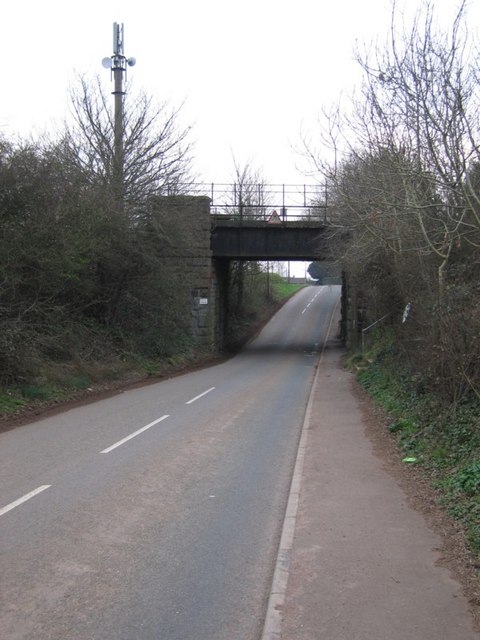
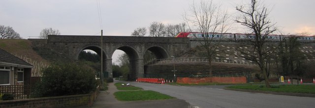
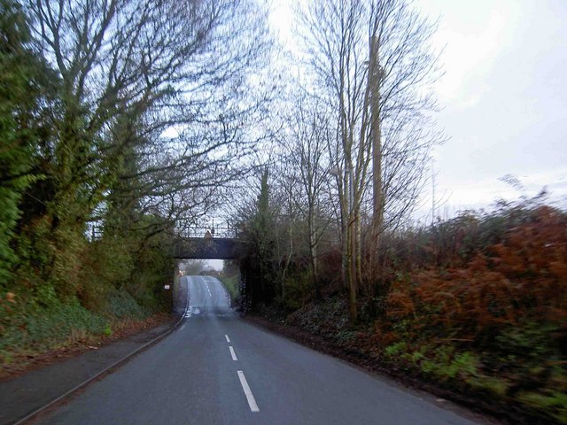
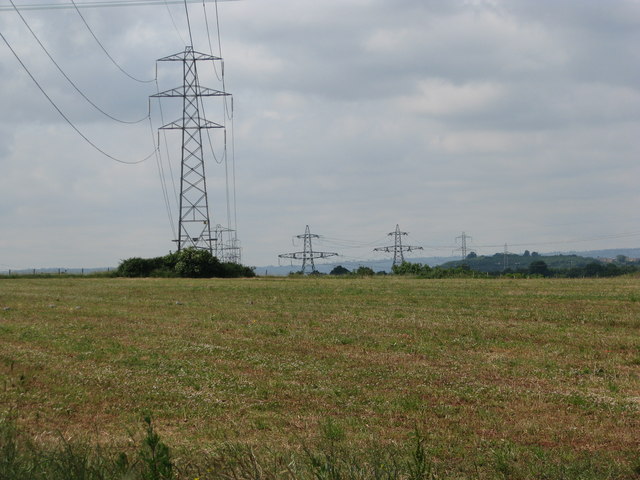
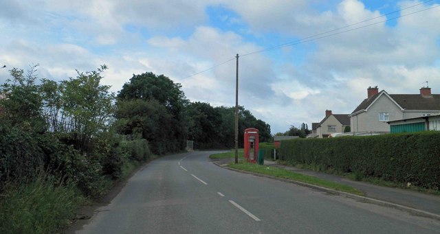
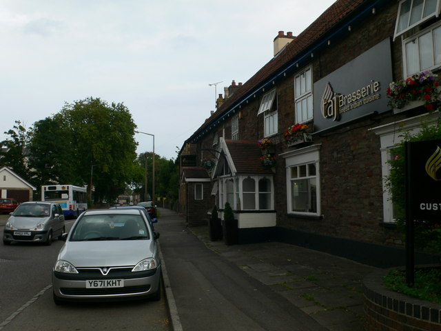
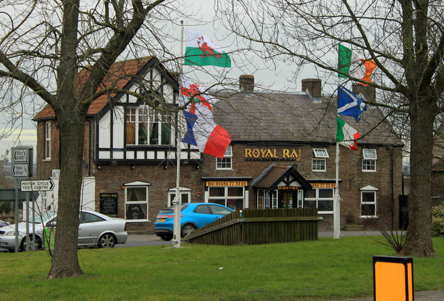
Winterbourne Down Images
Images are sourced within 2km of 51.514334/-2.491528 or Grid Reference ST6579. Thanks to Geograph Open Source API. All images are credited.


Winterbourne Down is located at Grid Ref: ST6579 (Lat: 51.514334, Lng: -2.491528)
Unitary Authority: South Gloucestershire
Police Authority: Avon and Somerset
What 3 Words
///withdraws.stiff.actor. Near Winterbourne, Gloucestershire
Nearby Locations
Related Wikis
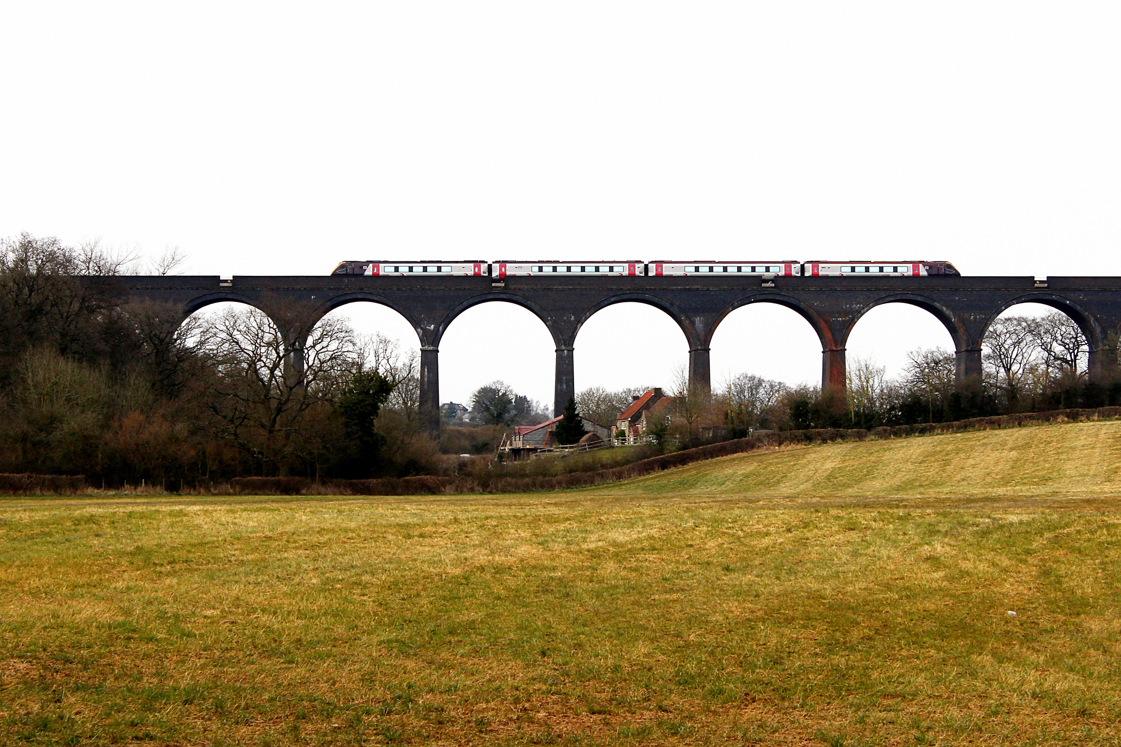
Huckford Viaduct
The Huckford Viaduct spans the River Frome just north of Winterbourne Down in South Gloucestershire, England. It presently forms part of the Badminton...

Kendleshire
Kendleshire is a small scattered settlement in South Gloucestershire, England, between Winterbourne Down and Henfield. Kendleshire hamlet includes about...

Winterbourne railway station
Winterbourne railway station served the South Gloucestershire village of Winterbourne, England, from 1903 to 1963. == Future == Improved services on the...

Winterbourne Railway Cutting
Winterbourne Railway Cutting (grid reference ST651799) is a 1.99 hectare geological Site of Special Scientific Interest near the village of Winterbourne...
Winterbourne, Gloucestershire
Winterbourne is a large village in South Gloucestershire, England, situated just beyond the north fringe of Bristol. The village had a population of 8...
Winterbourne United F.C.
Winterbourne United Football Club is a football club based in Winterbourne, near Bristol, England. Affiliated to the Gloucestershire County FA, they are...
Yate Academy
Yate Academy (formerly King Edmund Community School) is a secondary school located in the town of Yate in South Gloucestershire, on the outskirts of Bristol...
Winterbourne Academy
The Winterbourne Academy, is a co-educational school in South Gloucestershire. The school is in the village of Winterbourne in South Gloucestershire, on...
Nearby Amenities
Located within 500m of 51.514334,-2.491528Have you been to Winterbourne Down?
Leave your review of Winterbourne Down below (or comments, questions and feedback).