Newyears Hill

Hill, Mountain in Gloucestershire Forest of Dean

England

Newyears Hill

Yorkley Recreation Ground The football pitch was created by miners on land donated by the Forestry authorities in the early 20th century.
We are about to have a summer deluge.
Yorkley Recreation Ground Credit: Jonathan Billinger

Newyears Hill is a prominent geographical feature located in Gloucestershire, a county in southwestern England. Situated near the town of Coleford, this hill is part of the wider Forest of Dean district. While not classified as a mountain due to its relatively modest elevation, Newyears Hill forms an important aspect of the region's landscape and offers scenic views of the surrounding area.

Rising to a height of approximately 280 meters (918 feet), Newyears Hill is characterized by its gentle slopes and lush vegetation. The hill is primarily covered in dense woodland, consisting of a mix of deciduous and coniferous trees, which contribute to the enchanting beauty of the area. The rich biodiversity found on the hill includes a variety of plant and animal species, further enhancing its ecological significance.

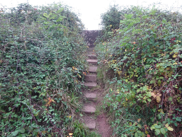
Newyears Hill is a popular destination for outdoor enthusiasts and nature lovers alike. Several well-maintained footpaths and trails traverse the hill, allowing visitors to explore its natural wonders and enjoy peaceful walks amidst the serene surroundings. From the summit of Newyears Hill, one can admire breathtaking panoramic views of the Forest of Dean, with its rolling hills, meandering rivers, and picturesque villages.

The hill's name, "Newyears Hill," is derived from local folklore, although the exact origin of the name remains uncertain. Over the years, it has become a beloved landmark and a place where locals and tourists come together to appreciate the beauty of Gloucestershire's countryside. Whether it's a leisurely stroll or a more challenging hike, Newyears Hill offers an opportunity to immerse oneself in the tranquility of nature and discover the wonders of this idyllic corner of England.

If you have any feedback on the listing, please let us know in the comments section below.

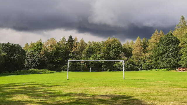
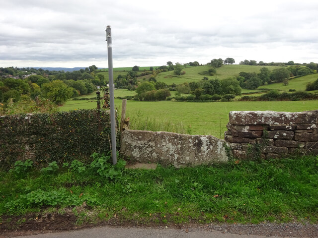
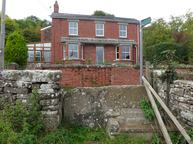
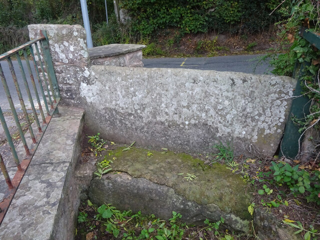
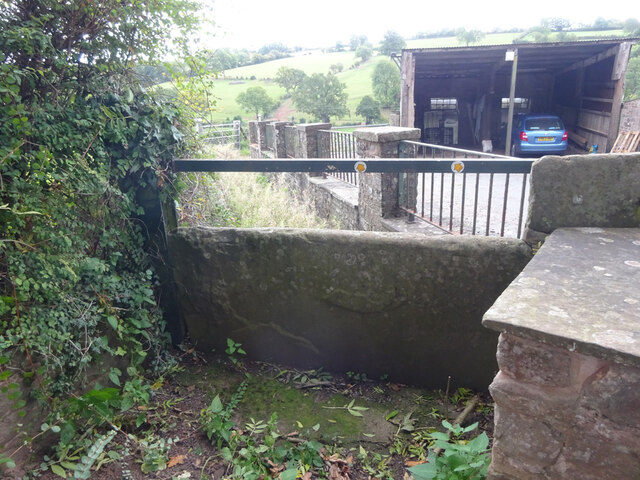
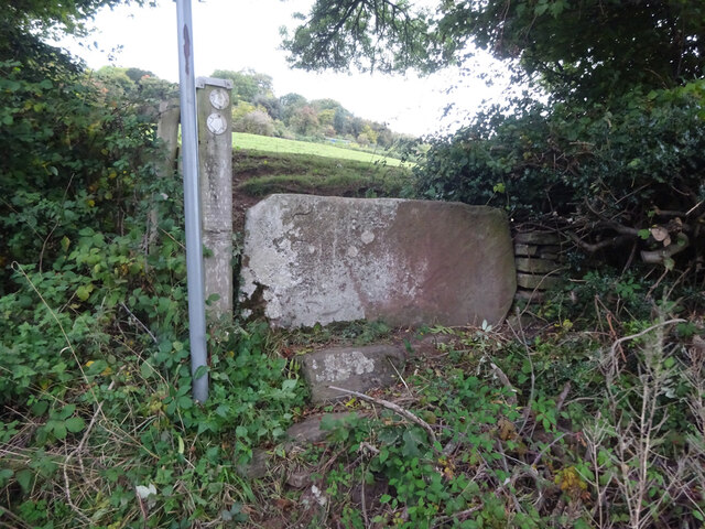
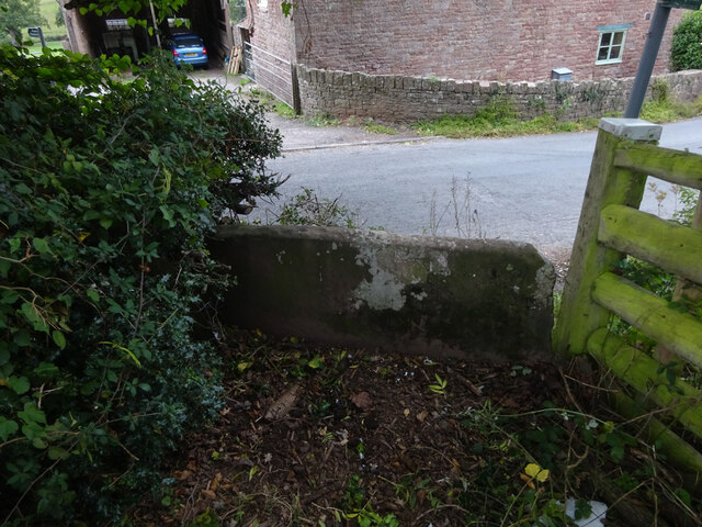
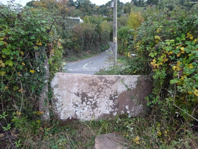
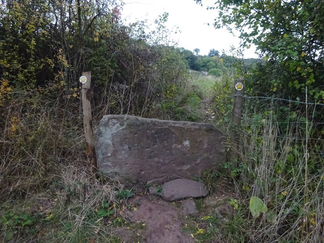
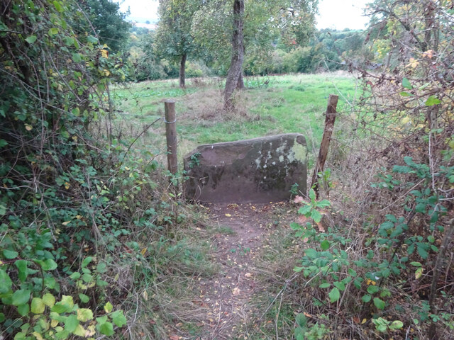
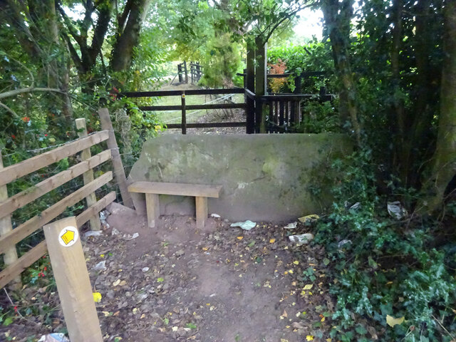
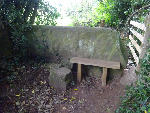
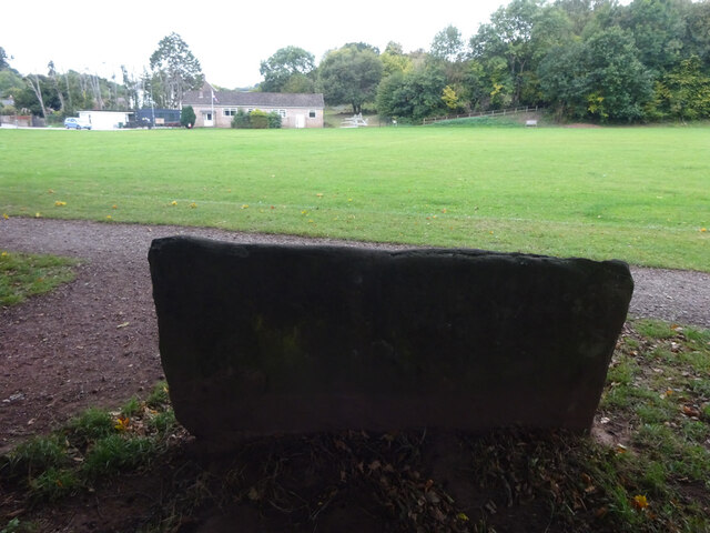
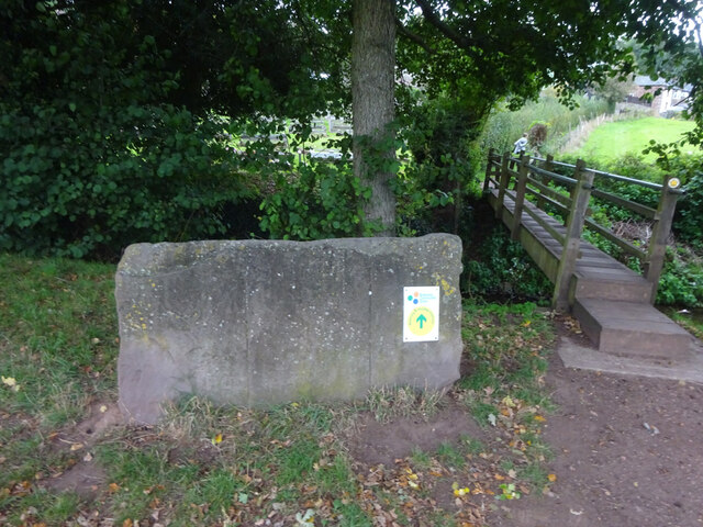
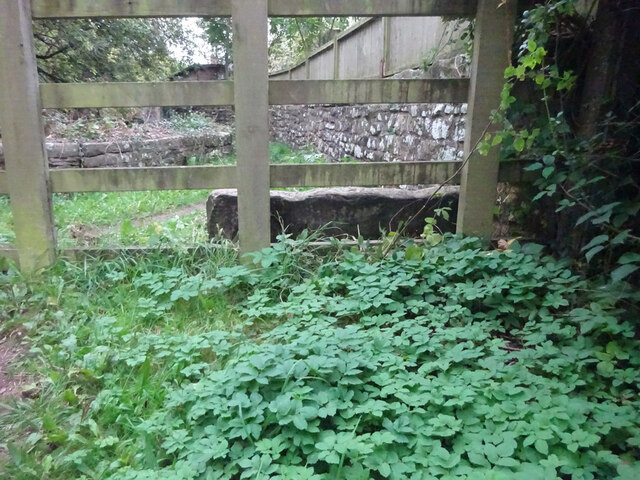
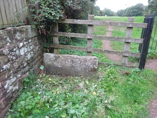
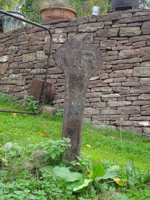
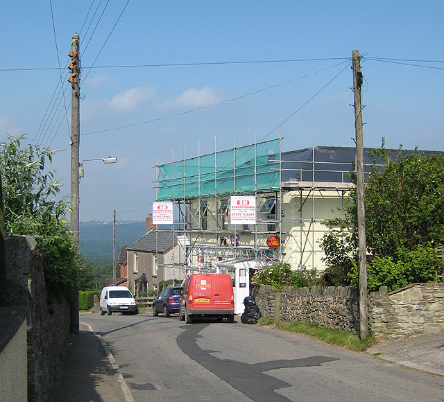
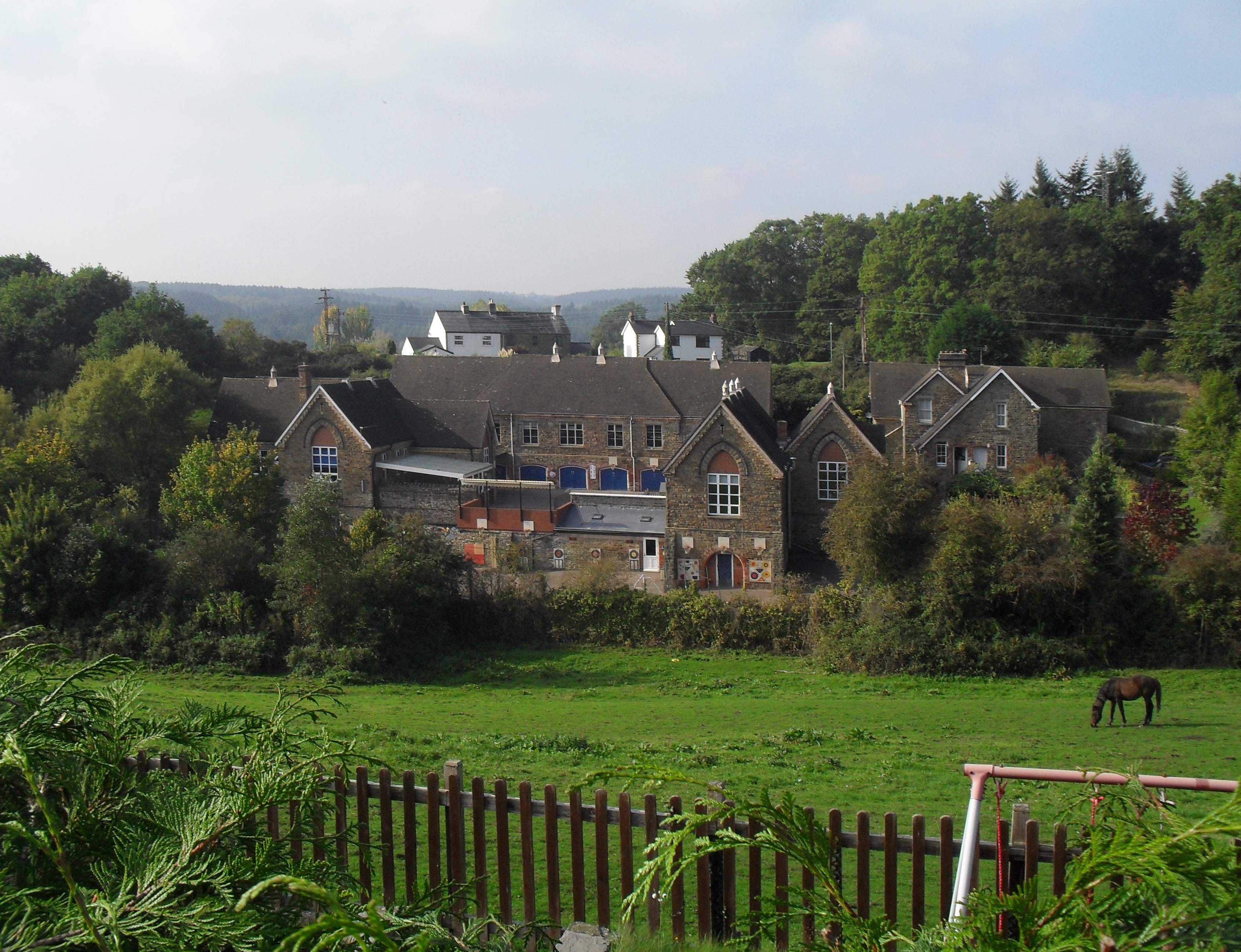
Newyears Hill Images

Images are sourced within 2km of 51.757777/-2.5045 or Grid Reference SO6506. Thanks to Geograph Open Source API. All images are credited.

Yorkley Recreation Ground The football pitch was created by miners on land donated by the Forestry authorities in the early 20th century.
We are about to have a summer deluge.
Yorkley Recreation Ground
The football pitch was created by miners on land donated by the Forestry authorities in the early 20th century. We are about to have a summer deluge.
Stone Stile, Blakeney On Gloucestershire footpath DAW63, off Pollards Lane looking from the road.
The view looking West is <a href="https://www.geograph.org.uk/photo/7301675">SO6606 : Stone Stile, Blakeney</a>.
Stone Stile, Blakeney
On Gloucestershire footpath DAW63, off Pollards Lane looking from the road. The view looking West is SO6606 : Stone Stile, Blakeney.
Stone Stile, Blakeney On Gloucestershire footpath DAW63, off Pollards Lane looking towards the road. The view looking East is <a href="https://www.geograph.org.uk/photo/7301674">SO6606 : Stone Stile, Blakeney</a>.
Stone Stile, Blakeney
On Gloucestershire footpath DAW63, off Pollards Lane looking towards the road. The view looking East is SO6606 : Stone Stile, Blakeney.
Stone Stile, Blakeney Hill On Gloucestershire footpath DAW37 at Hewell's Farm, Cinderford Road. This looks West to road, the view East is <a href="https://www.geograph.org.uk/photo/7301708">SO6607 : Stone Stile, Blakeney Hill</a>.
Stone Stile, Blakeney Hill
On Gloucestershire footpath DAW37 at Hewell's Farm, Cinderford Road. This looks West to road, the view East is SO6607 : Stone Stile, Blakeney Hill.
Stone Stile, Blakeney Hill On Gloucestershire footpath DAW37 at Hewell's Farm, Cinderford Road. This looks East, the view to the road is <a href="https://www.geograph.org.uk/photo/7301707">SO6607 : Stone Stile, Blakeney Hill</a>.
Stone Stile, Blakeney Hill
On Gloucestershire footpath DAW37 at Hewell's Farm, Cinderford Road. This looks East, the view to the road is SO6607 : Stone Stile, Blakeney Hill.
Stone Stile, Blakeney Hill On Gloucestershire footpaths DAW38 & DAW39 from Cinderford Road opposite Hewell's Farm looking from the road. The view looking to the road is <a href="https://www.geograph.org.uk/photo/7301717">SO6607 : Stone Stile, Blakeney Hill</a>.
Stone Stile, Blakeney Hill
On Gloucestershire footpaths DAW38 & DAW39 from Cinderford Road opposite Hewell's Farm looking from the road. The view looking to the road is SO6607 : Stone Stile, Blakeney Hill.
Stone Stile, Blakeney Hill On Gloucestershire footpaths DAW38 & DAW39 from Cinderford Road, looking towards Hewell's Farm. The view from the road is <a href="https://www.geograph.org.uk/photo/7301715">SO6607 : Stone Stile, Blakeney Hill</a>.
Stone Stile, Blakeney Hill
On Gloucestershire footpaths DAW38 & DAW39 from Cinderford Road, looking towards Hewell's Farm. The view from the road is SO6607 : Stone Stile, Blakeney Hill.
Stone Stile, Blakeney Hill On Gloucestershire footpath DAW46 opposite Blakeney Hill Road looking from the road. The view to the roads is <a href="https://www.geograph.org.uk/photo/7301743">SO6607 : Stone Stile, Blakeney Hill</a>.
Stone Stile, Blakeney Hill
On Gloucestershire footpath DAW46 opposite Blakeney Hill Road looking from the road. The view to the roads is SO6607 : Stone Stile, Blakeney Hill.
Stone Stile, Blakeney Hill On Gloucestershire footpath DAW46 opposite Blakeney Hill Road looking to the roads. The view up the steps to the stile is <a href="https://www.geograph.org.uk/photo/7301742">SO6607 : Stone Stile, Blakeney Hill</a>.
Stone Stile, Blakeney Hill
On Gloucestershire footpath DAW46 opposite Blakeney Hill Road looking to the roads. The view up the steps to the stile is SO6607 : Stone Stile, Blakeney Hill.
Stone Stile, Blakeney Hill On Gloucestershire footpath DAW46 heading towards the Blakeney Playing Fields. Looking NW in the direction of Cinderford Road, the view SE is <a href="https://www.geograph.org.uk/photo/7301752">SO6607 : Stone Stile, Blakeney Hill</a>.
Stone Stile, Blakeney Hill
On Gloucestershire footpath DAW46 heading towards the Blakeney Playing Fields. Looking NW in the direction of Cinderford Road, the view SE is SO6607 : Stone Stile, Blakeney Hill.
Stone Stile, Blakeney Hill On Gloucestershire footpath DAW46 heading towards the Blakeney Playing Fields. Looking NW to Cinderford Road, the view SE is <a href="https://www.geograph.org.uk/photo/7301750">SO6607 : Stone Stile, Blakeney Hill</a>.
Stone Stile, Blakeney Hill
On Gloucestershire footpath DAW46 heading towards the Blakeney Playing Fields. Looking NW to Cinderford Road, the view SE is SO6607 : Stone Stile, Blakeney Hill.
Stone Stile, Blakeney On Gloucestershire footpath DAW46 looking South looking towards the playing fields, the view North is <a href="https://www.geograph.org.uk/photo/7301767">SO6607 : Stone Stile, Blakeney</a>.
Stone Stile, Blakeney
On Gloucestershire footpath DAW46 looking South looking towards the playing fields, the view North is SO6607 : Stone Stile, Blakeney.
Stone Stile, Blakeney On Gloucestershire footpath DAW46 looking north, the view South looking towards the playing fields is <a href="https://www.geograph.org.uk/photo/7301766">SO6607 : Stone Stile, Blakeney</a>.
Stone Stile, Blakeney
On Gloucestershire footpath DAW46 looking north, the view South looking towards the playing fields is SO6607 : Stone Stile, Blakeney.
Stone Stile, Blakeney On Gloucestershire footpaths DAW119 & DAW44 at the Eastern side of the playing fields looking East. The view looking back is <a href="https://www.geograph.org.uk/photo/7301781">SO6707 : Stone Stile, Blakeney</a>.
Stone Stile, Blakeney
On Gloucestershire footpaths DAW119 & DAW44 at the Eastern side of the playing fields looking East. The view looking back is SO6707 : Stone Stile, Blakeney.
Stone Stile, Blakeney On Gloucestershire footpaths DAW119 & DAW44 at the Eastern side of and looking from the playing fields. The view looking in is <a href="https://www.geograph.org.uk/photo/7301780">SO6707 : Stone Stile, Blakeney</a>.
Stone Stile, Blakeney
On Gloucestershire footpaths DAW119 & DAW44 at the Eastern side of and looking from the playing fields. The view looking in is SO6707 : Stone Stile, Blakeney.
Stone Stile, Blakeney On Gloucestershire footpath DAW44 leaving the playing fields. The view looking back to the playing fields is <a href="https://www.geograph.org.uk/photo/7301793">SO6707 : Stone Stile, Blakeney</a>.
Stone Stile, Blakeney
On Gloucestershire footpath DAW44 leaving the playing fields. The view looking back to the playing fields is SO6707 : Stone Stile, Blakeney.
Stone Stile, Blakeney On Gloucestershire footpath DAW44 looking back to the playing fields. The view leaving the playing fields is <a href="https://www.geograph.org.uk/photo/7301792">SO6707 : Stone Stile, Blakeney</a>.
Stone Stile, Blakeney
On Gloucestershire footpath DAW44 looking back to the playing fields. The view leaving the playing fields is SO6707 : Stone Stile, Blakeney.
Railway Boundary Marker, Blakeney At No. 1 Prospect Cottage, Blakeney Hill. A genuine Midland Railway boundary post, out of place. The owner had moved it from the front garden. There is no close railway track, the Forest of Dean Railway became GWR by 1900, and that is 350 yds at its closest point. This was purely a decoration.
Railway Boundary Marker, Blakeney
At No. 1 Prospect Cottage, Blakeney Hill. A genuine Midland Railway boundary post, out of place. The owner had moved it from the front garden. There is no close railway track, the Forest of Dean Railway became GWR by 1900, and that is 350 yds at its closest point. This was purely a decoration.
Show me another place!

Newyears Hill is located at Grid Ref: SO6506 (Lat: 51.757777, Lng: -2.5045)

Administrative County: Gloucestershire

District: Forest of Dean

Police Authority: Gloucestershire

What 3 Words

///housework.amplified.instead. Near Lydney, Gloucestershire

Related Wikis

Oldcroft

Oldcroft is a hamlet in Gloucestershire, England. The village of Yorkley is to the northwest, and the hamlet of Viney Hill is to the northeast. == History... ==

Brain's Green

Brain's Green is a hamlet in Gloucestershire, England. == References ==

Yorkley

Yorkley is a village in west Gloucestershire, England. The village includes the settlement of Yorkley Slade to the east. Yorkley is situated between the...

Clarke's Pool Meadow SSSI

Clarke's Pool Meadow (grid reference SO668061) is a 1.8-hectare (4.4-acre) biological Site of Special Scientific Interest in Gloucestershire, notified...

Blakeney, Gloucestershire

Blakeney is a village in Gloucestershire, England. It in the parish of Awre and has views of the Forest of Dean. It was the site of a Roman villa, dating...

Oakenhill Railway Cutting

Oakenhill Railway Cutting (grid reference SO630069) is a 0.81-hectare (2.0-acre) geological Site of Special Scientific Interest in Gloucestershire, notified...

Pillowell

Pillowell is a small English village in Gloucestershire, on the south-eastern edge of the Forest of Dean. Once a mining village, much of it now lies in...

Meezy Hurst

Meezy Hurst (SO638089 to SO647091) is a 4.3-hectare (11-acre) geological Site of Special Scientific Interest in Gloucestershire, notified in 1986.The site...

Nearby Amenities

Located within 500m of 51.757777,-2.5045
Bus Stop
The New Inn
Naptan AtcoCode: 1600GL5039
Naptan Bearing: W
Naptan CommonName: The New Inn
Naptan Indicator: Opp
Naptan NaptanCode: gloajmpw
Naptan Street: Main Road
Naptan Verified: no
Source: naptan_import
Lat/Long: 51.757311/-2.4978047
Bus Stop
The New Inn
Naptan AtcoCode: 1600GL5040
Naptan Bearing: E
Naptan CommonName: The New Inn
Naptan NaptanCode: gloajmta
Naptan Street: Main Road
Naptan Verified: no
Source: naptan_import
Lat/Long: 51.7573925/-2.4976752
Bus Stop
All Saints' Church
Naptan AtcoCode: 1600GL5041
Naptan Bearing: SW
Naptan CommonName: All Saints' Church
Naptan Indicator: Opp
Naptan NaptanCode: gloajmaw
Naptan Street: Main Road
Naptan Verified: no
Source: naptan_import
Lat/Long: 51.7567706/-2.5019108
Bus Stop
All Saints' Church
Naptan AtcoCode: 1600GL5042
Naptan Bearing: NE
Naptan CommonName: All Saints' Church
Naptan NaptanCode: gloajmdp
Naptan Street: Main Road
Naptan Verified: no
Source: naptan_import
Lat/Long: 51.7572222/-2.5015675
Bus Stop
St Swithin's Rd
Naptan AtcoCode: 1600GL5453
Naptan Bearing: W
Naptan CommonName: St Swithin's Rd
Naptan NaptanCode: gloajgat
Naptan Street: Main Road
Naptan Verified: no
Source: naptan_import
Lat/Long: 51.7554747/-2.506709
Bus Stop
St Swithin's Rd
Naptan AtcoCode: 1600GL5454
Naptan Bearing: E
Naptan CommonName: St Swithin's Rd
Naptan Indicator: Opp
Naptan NaptanCode: gloajgdt
Naptan Street: Main Road
Naptan Verified: no
Source: naptan_import
Lat/Long: 51.7556737/-2.5064215
Post Box
Post Box Type: lamp
Ref: GL15 58D
Royal Cypher: EIIR
Royal Cypher Wikidata: Q33102113
Lat/Long: 51.755932/-2.5027344
Power: pole
Lat/Long: 51.7586797/-2.5088042
Power: pole
Lat/Long: 51.7598585/-2.5076026
Design: triangle
Material: metal
Power: pole
Structure: lattice
Lat/Long: 51.7618672/-2.5054729
Design: triangle
Material: metal
Power: pole
Structure: lattice
Lat/Long: 51.7572469/-2.5098449
Design: triangle
Material: metal
Power: pole
Structure: lattice
Lat/Long: 51.7558697/-2.5109057
The data included in this document is from www.openstreetmap.org. The data is made available under ODbL.

Have you been to Newyears Hill?

Leave your review of Newyears Hill below (or comments, questions and feedback).