Hayes Wood
Wood, Forest in Gloucestershire Forest of Dean
England
Hayes Wood
Hayes Wood is a small woodland area located in Gloucestershire, England. It is situated in the Forest of Dean district, known for its rich natural beauty and diverse wildlife. Covering an area of approximately 100 hectares, Hayes Wood is a popular destination for nature enthusiasts and outdoor enthusiasts alike.
The wood is predominantly made up of native broadleaf trees such as oak, beech, and birch, creating a dense and thriving woodland ecosystem. The forest floor is adorned with a variety of wildflowers, ferns, and mosses, adding to the overall enchanting atmosphere of the wood.
Hayes Wood is home to a wide range of wildlife, including various species of birds, mammals, and insects. Birdwatchers can spot species such as woodpeckers, nuthatches, and tawny owls, while nature lovers may come across deer, foxes, and badgers during their explorations.
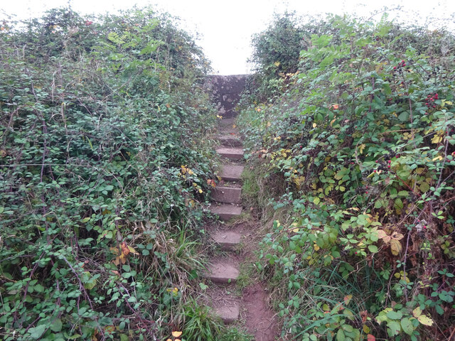
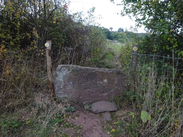
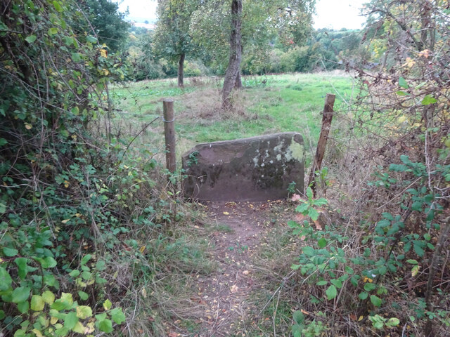
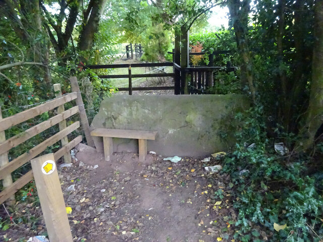
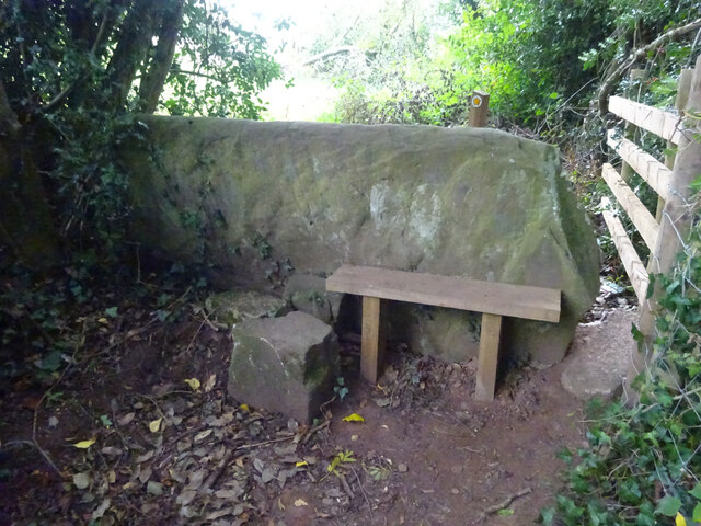
The wood offers several walking trails and footpaths that allow visitors to appreciate its natural beauty and explore its hidden corners. These paths are well-maintained and suitable for all levels of walkers, making it an ideal location for a leisurely stroll or a more challenging hike.
In addition to its natural wonders, Hayes Wood also has historical significance. It is believed to have been a part of the ancient Forest of Dean, which was used for various purposes over the centuries, including timber production, charcoal burning, and hunting.
Overall, Hayes Wood is a delightful destination for those seeking tranquility, natural beauty, and a chance to immerse themselves in the wonders of the Forest of Dean.
If you have any feedback on the listing, please let us know in the comments section below.
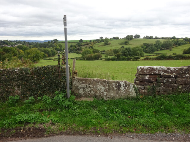
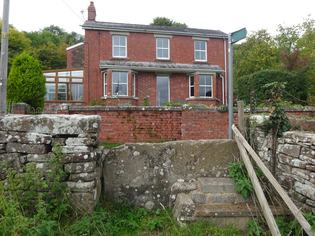
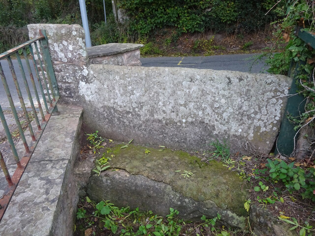
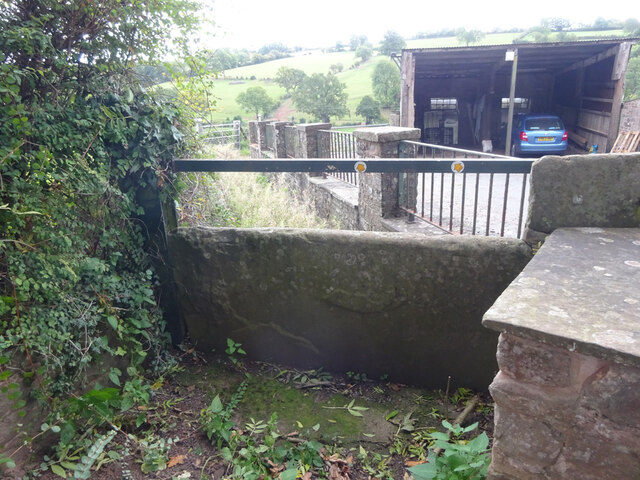
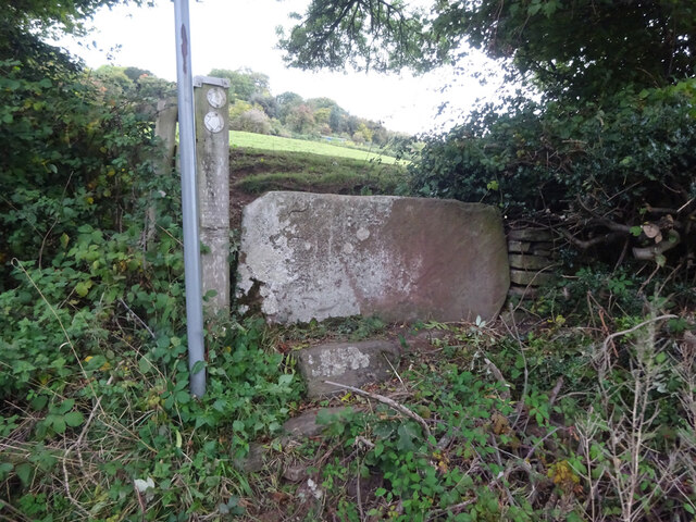
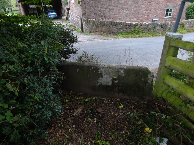
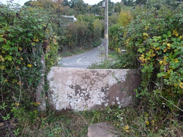
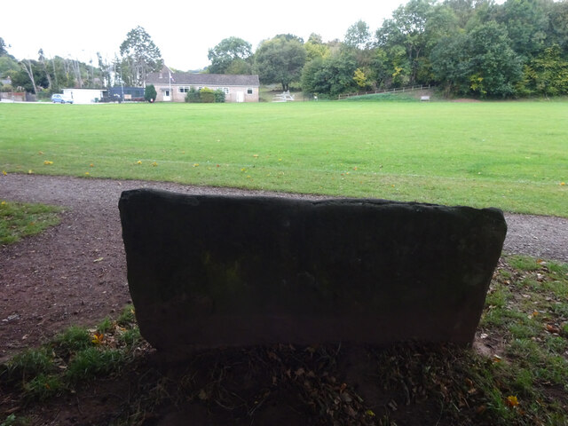
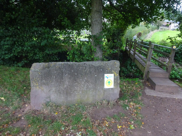
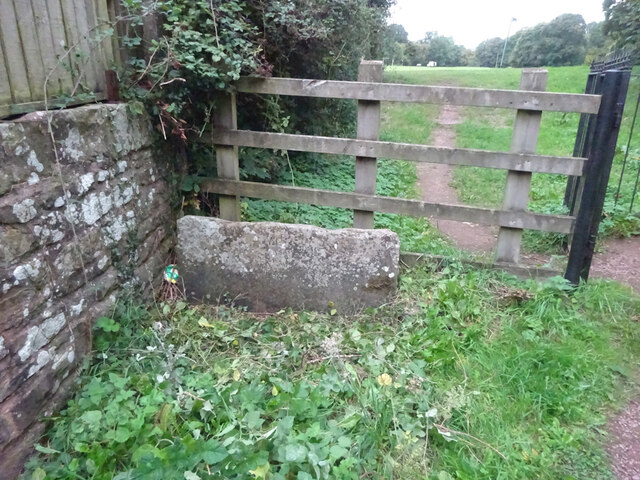
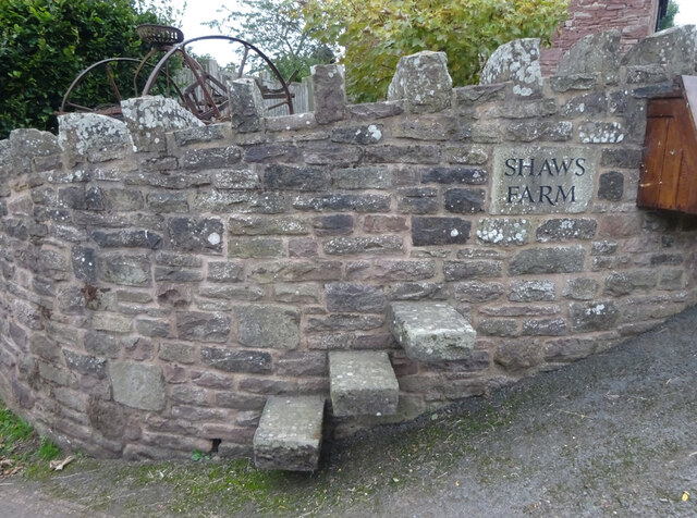
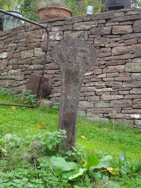
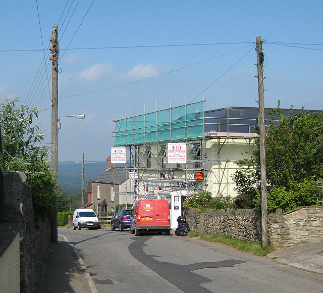
Hayes Wood Images
Images are sourced within 2km of 51.75334/-2.499018 or Grid Reference SO6506. Thanks to Geograph Open Source API. All images are credited.
Hayes Wood is located at Grid Ref: SO6506 (Lat: 51.75334, Lng: -2.499018)
Administrative County: Gloucestershire
District: Forest of Dean
Police Authority: Gloucestershire
What 3 Words
///surprised.chapels.liability. Near Lydney, Gloucestershire
Nearby Locations
Related Wikis

Oldcroft
Oldcroft is a hamlet in Gloucestershire, England. The village of Yorkley is to the northwest, and the hamlet of Viney Hill is to the northeast. == History... ==

Brain's Green
Brain's Green is a hamlet in Gloucestershire, England. == References ==

Clarke's Pool Meadow SSSI
Clarke's Pool Meadow (grid reference SO668061) is a 1.8-hectare (4.4-acre) biological Site of Special Scientific Interest in Gloucestershire, notified...

Blakeney, Gloucestershire
Blakeney is a village in Gloucestershire, England. It in the parish of Awre and has views of the Forest of Dean. It was the site of a Roman villa, dating...

Purton, Lydney
Purton is a hamlet on the west bank of the River Severn, in the civil parish of Lydney in Gloucestershire, England. It lies opposite the village of Purton...
Yorkley
Yorkley is a village in west Gloucestershire, England. The village includes the settlement of Yorkley Slade to the east. Yorkley is situated between the...
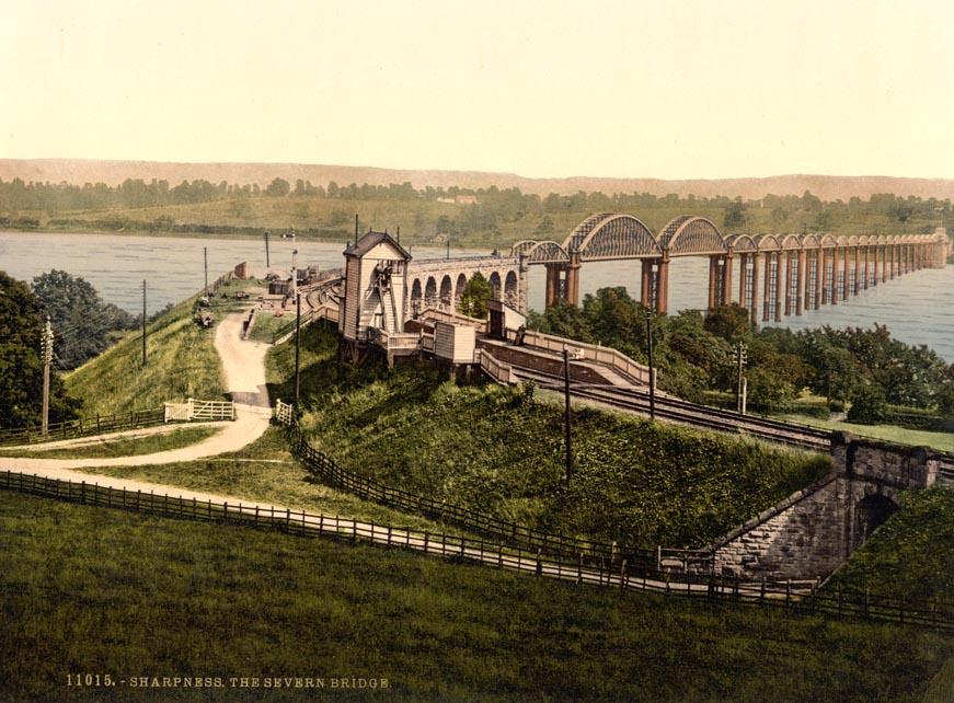
Severn Bridge railway station
Severn Bridge railway station was a small station on the Severn Bridge Railway located close to the north west bank of the River Severn, 2 miles (3 km...
Gloucester and Sharpness Canal
The Gloucester and Sharpness Canal (also known as the Gloucester and Berkeley Canal) is a ship canal in the west of England, between Gloucester and Sharpness...
Nearby Amenities
Located within 500m of 51.75334,-2.499018Have you been to Hayes Wood?
Leave your review of Hayes Wood below (or comments, questions and feedback).