Bany Knowe
Hill, Mountain in Roxburghshire
Scotland
Bany Knowe
Bany Knowe is a prominent hill located in the region of Roxburghshire, Scotland. Standing at an elevation of 292 meters (958 feet), it offers breathtaking views of the surrounding countryside. Situated near the town of Jedburgh, Bany Knowe attracts both locals and tourists seeking outdoor activities and natural beauty.
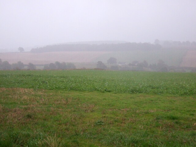
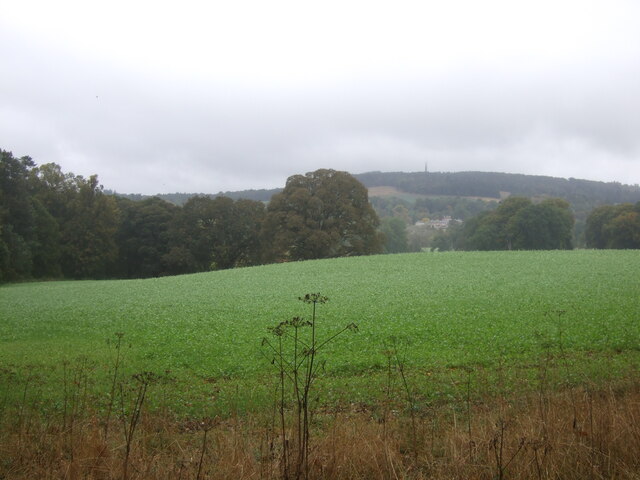
The hill is known for its distinctive shape, featuring a gently sloping side on its southern face and a steeper, rocky incline on its northern side. Its summit offers panoramic vistas of the rolling hills and lush green valleys that characterize the Scottish Borders region.
Bany Knowe is a popular destination for hikers and nature enthusiasts, with various trails and paths leading to its peak. The terrain offers a mix of grassy slopes and rugged terrain, providing both a scenic and challenging experience. The hill is accessible year-round, making it a great destination for outdoor activities such as walking, picnicking, and birdwatching.
The surrounding area is home to a diverse range of flora and fauna, with heather, bracken, and wildflowers adorning the landscape. Bird species such as buzzards, kestrels, and pheasants can often be spotted soaring above the hill, adding to the natural beauty of the area.
Overall, Bany Knowe in Roxburghshire offers visitors a chance to immerse themselves in the stunning Scottish countryside, with its picturesque views, diverse wildlife, and opportunities for outdoor exploration.
If you have any feedback on the listing, please let us know in the comments section below.
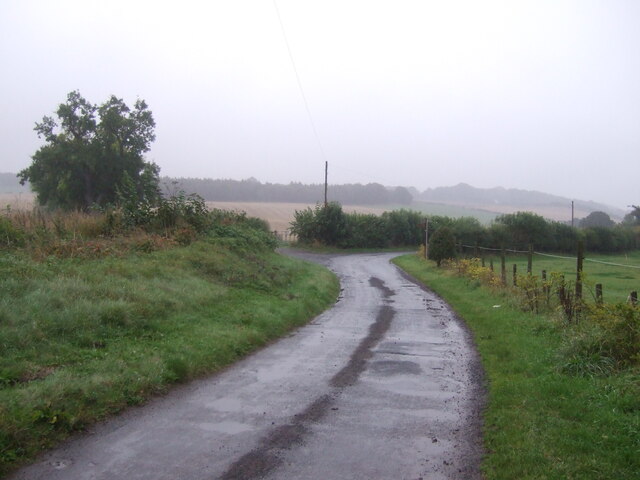
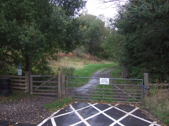
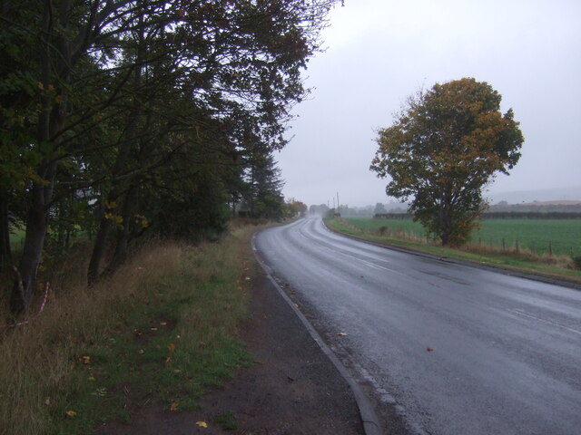
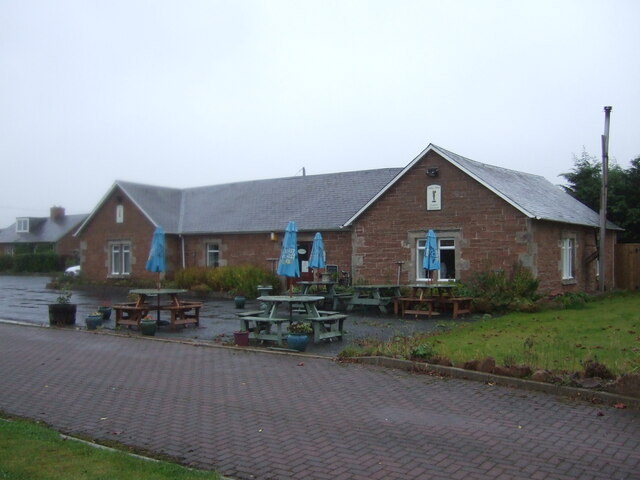
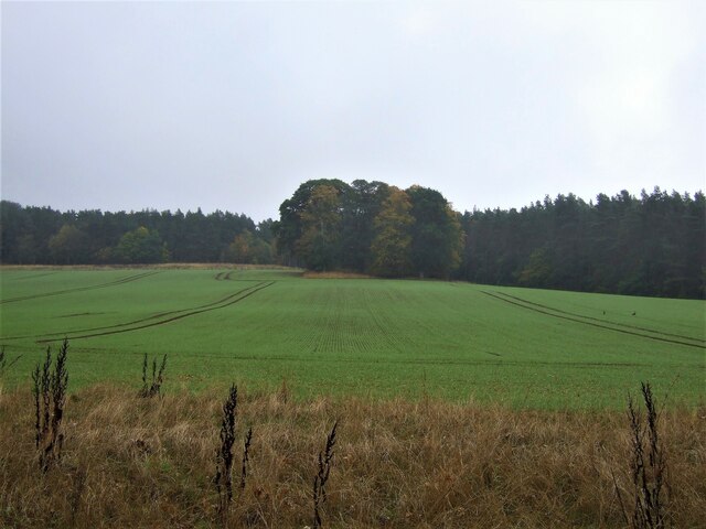
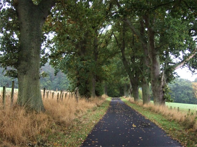
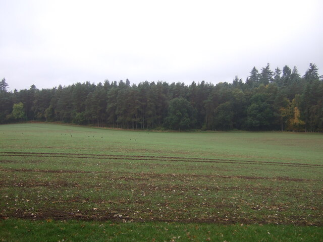
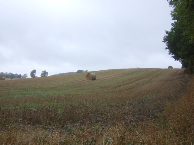
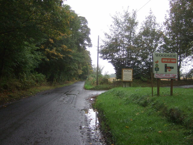
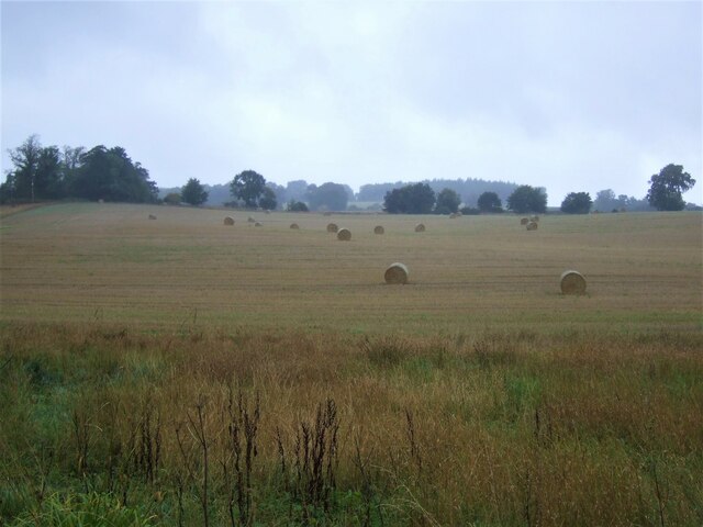
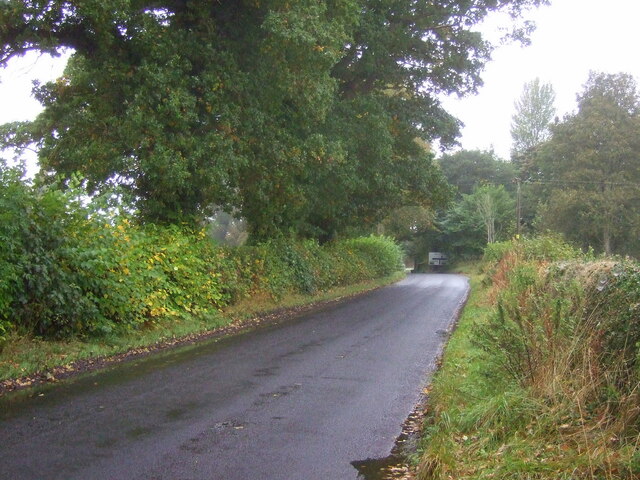
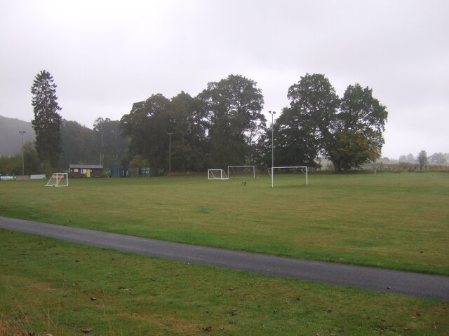
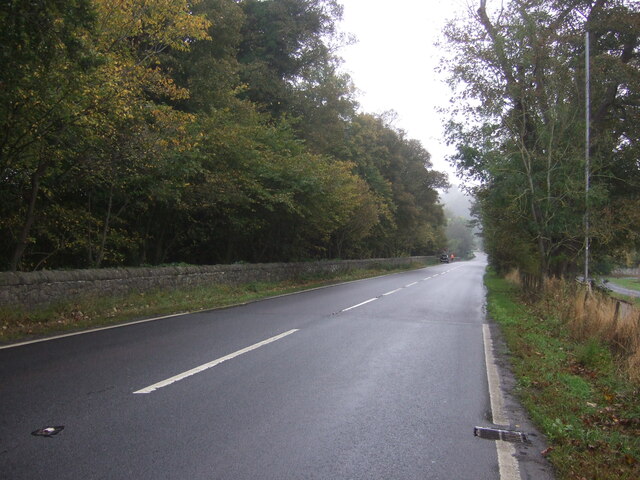
Bany Knowe Images
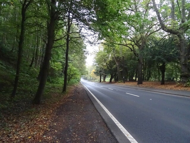
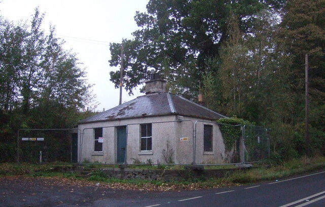
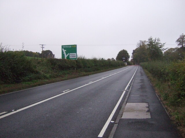
Images are sourced within 2km of 55.508592/-2.5524884 or Grid Reference NT6524. Thanks to Geograph Open Source API. All images are credited.
Bany Knowe is located at Grid Ref: NT6524 (Lat: 55.508592, Lng: -2.5524884)
Unitary Authority: The Scottish Borders
Police Authority: The Lothians and Scottish Borders
What 3 Words
///fork.bandaged.crashing. Near Jedburgh, Scottish Borders
Nearby Locations
Related Wikis

Bonjedward
Bonjedward (Scottish Gaelic: Bun Jedward) is a hamlet in the Scottish Borders area of Scotland, two miles north of Jedburgh where the Jed Water joins the...

Monteviot House
Monteviot House is the early 18th century home of the Marquess of Lothian, the politician better known as Michael Ancram. It is located on the River Teviot...

Jed Water
The Jed Water is a river and a tributary of the River Teviot in the Borders region of Scotland. In total the Jed Water is over 21.75 miles (35.00 km) long...

Jedfoot railway station
Jedfoot railway station served the town of Jedburgh, Scottish Borders, Scotland from 1856 to 1948 on the Jedburgh Railway. == History == The station opened...
Nearby Amenities
Located within 500m of 55.508592,-2.5524884Have you been to Bany Knowe?
Leave your review of Bany Knowe below (or comments, questions and feedback).