Nisbetmill Cauld
Lake, Pool, Pond, Freshwater Marsh in Roxburghshire
Scotland
Nisbetmill Cauld
Nisbetmill Cauld is a picturesque freshwater marsh located in Roxburghshire, Scotland. It is nestled in the heart of the Scottish Borders and is an important natural habitat for a diverse range of plants and wildlife.
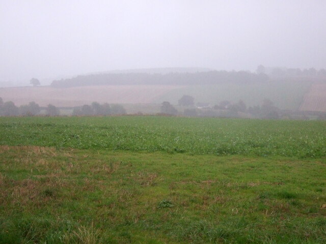
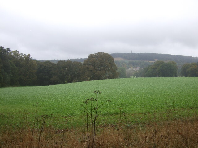
Covering an area of approximately 10 acres, Nisbetmill Cauld is characterized by its tranquil and serene atmosphere. The site is made up of a combination of open water, marshy areas, and dense vegetation. The calm waters of the cauld are fed by natural springs and small streams that meander through the surrounding countryside.
The cauld is rich in aquatic plant life, with species such as yellow flag iris, water mint, and water forget-me-not thriving in its marshy edges. These plants provide essential shelter and food for a variety of water-dwelling creatures, including frogs, newts, and dragonflies. Additionally, the cauld attracts a wide range of bird species, such as reed warblers, herons, and the occasional kingfisher.
The site is also popular among anglers, who are drawn to the cauld for its healthy fish population. Perch, pike, and trout can be found in abundance, providing a challenging and rewarding fishing experience.
Nisbetmill Cauld is not only a haven for wildlife enthusiasts and anglers but also serves as an important educational and research site. Its diverse ecosystem offers a unique opportunity to study the delicate balance of freshwater habitats and the creatures that rely on them.
Thanks to its unspoiled beauty and ecological significance, Nisbetmill Cauld is a cherished natural gem in Roxburghshire, attracting visitors from near and far to immerse themselves in its peaceful surroundings and observe the wonders of nature.
If you have any feedback on the listing, please let us know in the comments section below.
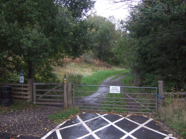
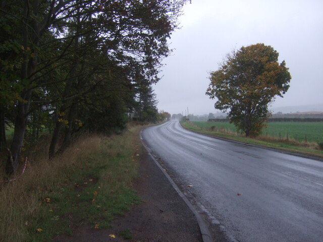
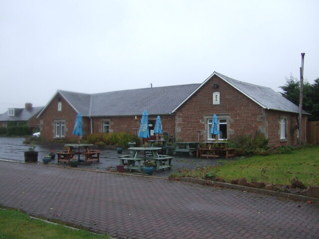
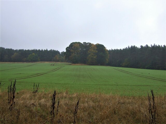
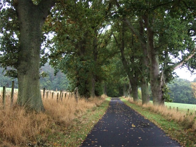
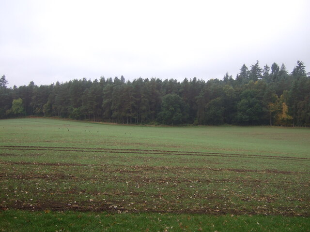
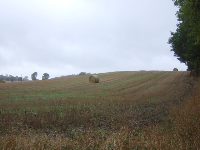
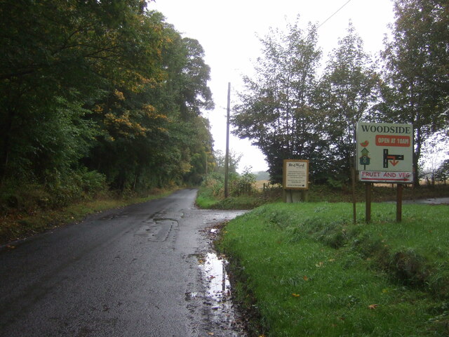
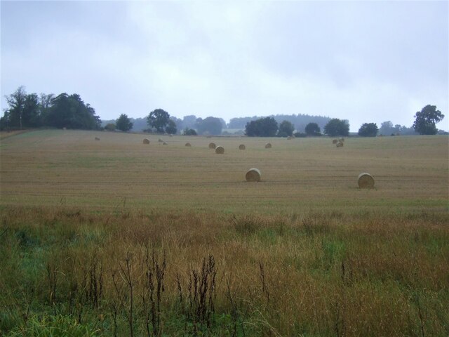
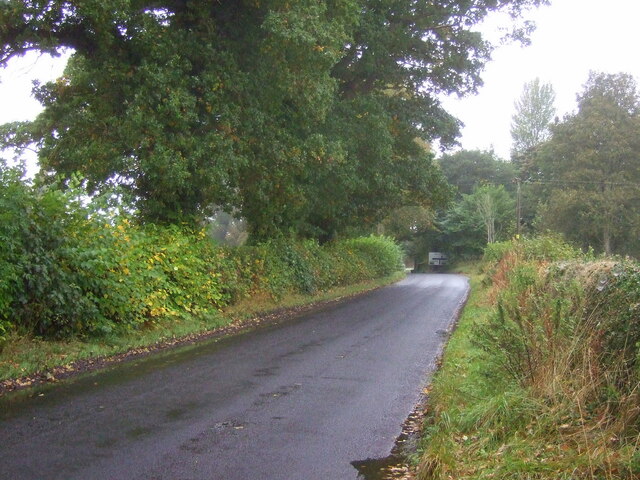
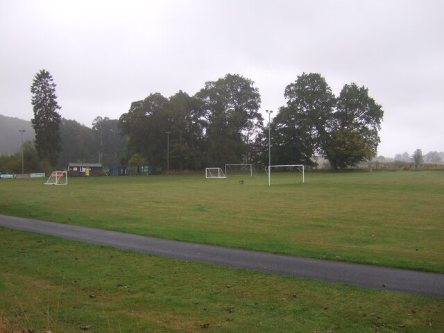
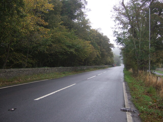
Nisbetmill Cauld Images
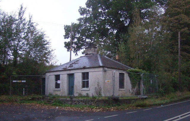
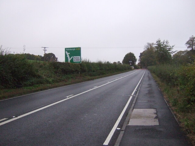
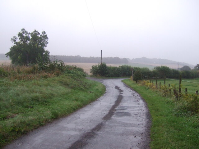
Images are sourced within 2km of 55.513116/-2.5515384 or Grid Reference NT6524. Thanks to Geograph Open Source API. All images are credited.
Nisbetmill Cauld is located at Grid Ref: NT6524 (Lat: 55.513116, Lng: -2.5515384)
Unitary Authority: The Scottish Borders
Police Authority: The Lothians and Scottish Borders
What 3 Words
///supported.necks.jiggle. Near Jedburgh, Scottish Borders
Nearby Locations
Related Wikis

Monteviot House
Monteviot House is the early 18th century home of the Marquess of Lothian, the politician better known as Michael Ancram. It is located on the River Teviot...

Jed Water
The Jed Water is a river and a tributary of the River Teviot in the Borders region of Scotland. In total the Jed Water is over 21.75 miles (35.00 km) long...

Jedfoot railway station
Jedfoot railway station served the town of Jedburgh, Scottish Borders, Scotland from 1856 to 1948 on the Jedburgh Railway. == History == The station opened...

Bonjedward
Bonjedward (Scottish Gaelic: Bun Jedward) is a hamlet in the Scottish Borders area of Scotland, two miles north of Jedburgh where the Jed Water joins the...
Nearby Amenities
Located within 500m of 55.513116,-2.5515384Have you been to Nisbetmill Cauld?
Leave your review of Nisbetmill Cauld below (or comments, questions and feedback).