Verdin's Cut

Lake, Pool, Pond, Freshwater Marsh in Cheshire

England

Verdin's Cut

Nat Lane, Wharton Industrial Estate
Nat Lane, Wharton Industrial Estate Credit: David Dixon

Verdin's Cut is a freshwater marsh located in Cheshire, England. It is a small but significant body of water that serves as a lake, pool, pond, and freshwater marsh all in one. The area is known for its rich biodiversity and unique natural features.

The size of Verdin's Cut is relatively small, covering an area of approximately 2 hectares. It is surrounded by lush green vegetation, including reeds, grasses, and shrubs, which provide a habitat for a variety of plants and animals.

The water in Verdin's Cut is sourced from a nearby river, ensuring a constant flow of fresh water. The lake is home to several species of fish, including carp, perch, and roach, making it a popular spot for fishing enthusiasts. The calm and serene atmosphere also attracts birdwatchers, as the area is frequented by various waterfowl such as ducks, swans, and herons.

The marshy nature of Verdin's Cut provides an ideal environment for various wetland plants, including water lilies, bulrushes, and sedges. These plants not only add to the area's natural beauty but also play a crucial role in maintaining the ecological balance of the ecosystem.

Verdin's Cut is a designated nature reserve, managed and protected by local conservation authorities. It serves as an important site for environmental education and research, attracting students and scientists interested in studying wetland ecosystems.

Overall, Verdin's Cut in Cheshire is a small but vital freshwater marsh that supports a diverse range of flora and fauna. Its tranquil surroundings and abundant wildlife make it a cherished natural gem in the region.

If you have any feedback on the listing, please let us know in the comments section below.
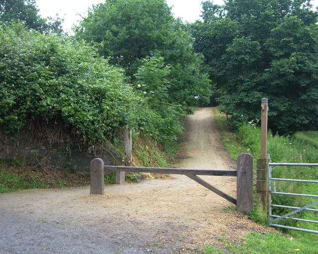
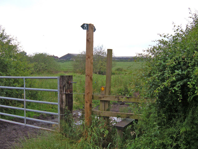
Verdin's Cut Images

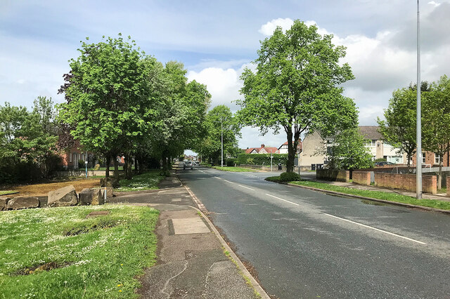
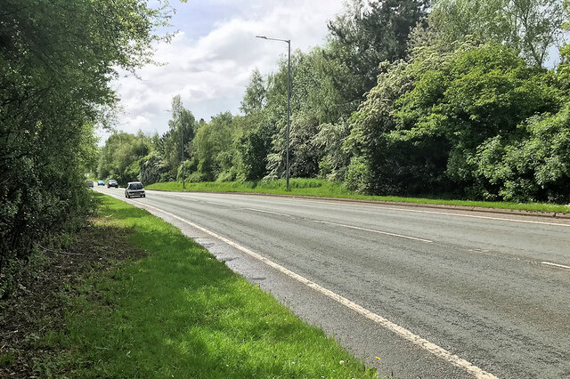
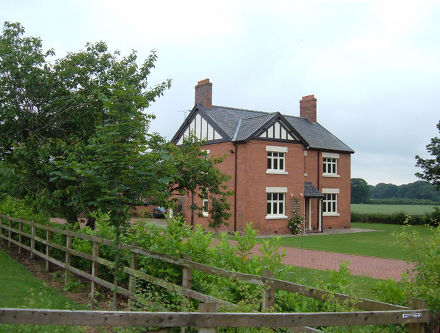
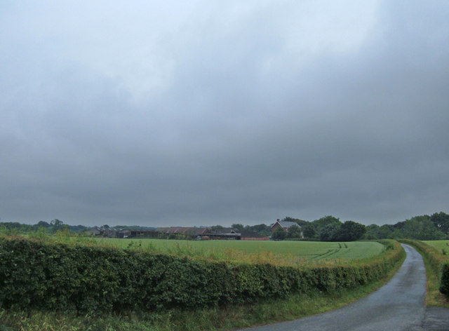
Images are sourced within 2km of 53.212832/-2.5214059 or Grid Reference SJ6568. Thanks to Geograph Open Source API. All images are credited.

Nat Lane, Wharton Industrial Estate
Winsford, Wharton Road
Wharton Road
Wharton Road
A5018, Wharton Park Road
Meadowbank Mine Britain's largest salt mine lies alongside the River Weaver at Winsford. This is the main skip winding shaft up which comes much of the winter salt for Britain's roads.
Meadowbank Mine
Britain's largest salt mine lies alongside the River Weaver at Winsford. This is the main skip winding shaft up which comes much of the winter salt for Britain's roads.
Salt dome, Meadowbank Mine To stop the mined salt being blown across the district it is disgorged from the conveyors into this dome. From here it is taken by loading shovel to the stockpiles.
Salt dome, Meadowbank Mine
To stop the mined salt being blown across the district it is disgorged from the conveyors into this dome. From here it is taken by loading shovel to the stockpiles.
Newbridge swing bridge This distinctive bridge spans the river Weaver and is situated at the site of the former Newbridge Locks which were swept away when the navigation was modernised in the 1880's. In the foreground can be seen the gate recess for one of the lock gates.
Newbridge swing bridge
This distinctive bridge spans the river Weaver and is situated at the site of the former Newbridge Locks which were swept away when the navigation was modernised in the 1880's. In the foreground can be seen the gate recess for one of the lock gates.
Winsford looking south east Photo shows Wharton area of Winsford.The Weaver Navigation in the foreground and the Winsford Industrial Estate in the background
Winsford looking south east
Photo shows Wharton area of Winsford.The Weaver Navigation in the foreground and the Winsford Industrial Estate in the background
1872 stage stop
1872 stage stop
Weaver Navigation
Weaver Navigation
Whitegate Way A linear recreational path/cycleway linking Winsford to Cuddington (near Delamere Forest). Looking north from the junction of Bradford Road and Wade's Lane.
Whitegate Way
A linear recreational path/cycleway linking Winsford to Cuddington (near Delamere Forest). Looking north from the junction of Bradford Road and Wade's Lane.
Wade's Lane, Winsford Looking west along this narrow lane that has footpath status. It links the sewage farm (near Bradford Road) with the Knight's Grange area of Winsford.
Wade's Lane, Winsford
Looking west along this narrow lane that has footpath status. It links the sewage farm (near Bradford Road) with the Knight's Grange area of Winsford.
Parkside Farm, Mill Lane This large residence was available to rent in June 2006. It is just over a kilometre east of the village of Whitegate.
Parkside Farm, Mill Lane
This large residence was available to rent in June 2006. It is just over a kilometre east of the village of Whitegate.
Entrance to Bark House Farm Looking south along the drive to Bark House Farm from its junction with Mill Lane.
Entrance to Bark House Farm
Looking south along the drive to Bark House Farm from its junction with Mill Lane.
Whitegate Way, Grange Lane Here a railway bridge has been demolished (part of the brick abutment can be seen left of shot) so the recreational route descends to cross Grange Lane. View looking west towards the terminus at Cuddington.
Whitegate Way, Grange Lane
Here a railway bridge has been demolished (part of the brick abutment can be seen left of shot) so the recreational route descends to cross Grange Lane. View looking west towards the terminus at Cuddington.
Stile on Grange Lane, Winsford Here a footpath heads west over the fields towards Martonsands passing to the north of Brook House Farm visible in the distance.
Stile on Grange Lane, Winsford
Here a footpath heads west over the fields towards Martonsands passing to the north of Brook House Farm visible in the distance.
Whitegate Way, Winsford This is the start/finish of the Whitegate Way, a permissive recreational route for walkers, horse riders and cyclists. It follows the line of an old salt-carrying railway line between Winsford and Cuddington (near Delamere Forest) that operated for almost one hundred years before closing in 1966. Here there is a car park off Bradford Road with a vandalized interpretation board. The sign to the left of shot marking the terminus appears to be one of the old station platform signs suitably annotated.
Whitegate Way, Winsford
This is the start/finish of the Whitegate Way, a permissive recreational route for walkers, horse riders and cyclists. It follows the line of an old salt-carrying railway line between Winsford and Cuddington (near Delamere Forest) that operated for almost one hundred years before closing in 1966. Here there is a car park off Bradford Road with a vandalized interpretation board. The sign to the left of shot marking the terminus appears to be one of the old station platform signs suitably annotated.
Road One Roundabout, Winsford Northern entrance to Winsford Industrial Estate
Road One Roundabout, Winsford
Northern entrance to Winsford Industrial Estate
Show me another place!

Verdin's Cut is located at Grid Ref: SJ6568 (Lat: 53.212832, Lng: -2.5214059)

Unitary Authority: Cheshire West and Chester

Police Authority: Cheshire

What 3 Words

///visual.mainframe.cost. Near Winsford, Cheshire

Nearby Locations

Meadowbank Verdin's Cut

Related Wikis

Winsford Mine

Winsford Mine (also known as Meadow Bank Mine) is a halite (rock salt) mine in the town of Winsford, Cheshire, England. The mine produces an average of...

Moulton, Cheshire

Moulton is a civil parish and village in Cheshire, England, 3 miles (4.8 km) south of Northwich and 3 miles (4.8 km) north of Winsford. == History == The...

St Stephen's Church, Moulton

St Stephen's Church is in the village of Moulton, Cheshire, England. The church is recorded in the National Heritage List for England as a designated Grade...

Moulton War Memorial

Moulton War Memorial stands in Main Road, Moulton, Cheshire, England. It consists of a marble statue of a soldier standing on a sandstone pedestal, and...

Nearby Amenities

Located within 500m of 53.212832,-2.5214059
Parking
Lat/Long: 53.2142943/-2.5238098
Bus Stop
Meadowbank, School Road / Meadow Grove
Bus: yes
Naptan AtcoCode: 0610VR19052
Naptan Bearing: NE
Naptan CommonName: Meadow Grove
Naptan Crossing: Meadow Grove
Naptan Indicator: cnr
Naptan Landmark: Meadowbank
Naptan LocalityName: Meadowbank
Naptan NaptanCode: chwtgpt
Naptan ShortCommonName: Meadow Grove
Naptan Street: School Road
Naptan Verified: no
Public Transport: platform
Shelter: no
Source: naptan_import
Lat/Long: 53.210026/-2.5241119
Barrier: kissing_gate
Bicycle: yes
Foot: yes
Lat/Long: 53.214561/-2.5227019
Barrier: kissing_gate
Foot: yes
Lat/Long: 53.2160897/-2.5255845
Power: pole
Lat/Long: 53.2119723/-2.5144934
Barrier: cattle_grid
Lat/Long: 53.2116808/-2.5155871
Meadowbank
Place: village
Lat/Long: 53.2099201/-2.5242627
Generator Method: photovoltaic
Generator Output Electricity: yes
Generator Source: solar
Generator Type: solar_photovoltaic_panel
Location: roof
Power: generator
Lat/Long: 53.2102949/-2.523207
Generator Method: photovoltaic
Generator Output Electricity: yes
Generator Source: solar
Generator Type: solar_photovoltaic_panel
Location: roof
Power: generator
Lat/Long: 53.209507/-2.5242759
Generator Method: photovoltaic
Generator Output Electricity: yes
Generator Source: solar
Generator Type: solar_photovoltaic_panel
Location: roof
Power: generator
Lat/Long: 53.2095013/-2.5242383
Generator Method: photovoltaic
Generator Output Electricity: yes
Generator Source: solar
Generator Type: solar_photovoltaic_panel
Location: roof
Power: generator
Lat/Long: 53.2095592/-2.5258047
Shaft #3
Man Made: shaft
Lat/Long: 53.2103224/-2.5215501
Barrier: cattle_grid
Lat/Long: 53.2156687/-2.5200333
The data included in this document is from www.openstreetmap.org. The data is made available under ODbL.

Have you been to Verdin's Cut?

Leave your review of Verdin's Cut below (or comments, questions and feedback).