Castle Hill
Hill, Mountain in Lancashire Lancaster
England
Castle Hill

The requested URL returned error: 429 Too Many Requests
If you have any feedback on the listing, please let us know in the comments section below.
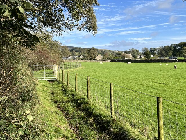
Castle Hill Images
Images are sourced within 2km of 54.197089/-2.5348729 or Grid Reference SD6578. Thanks to Geograph Open Source API. All images are credited.


Castle Hill is located at Grid Ref: SD6578 (Lat: 54.197089, Lng: -2.5348729)
Administrative County: Lancashire
District: Lancaster
Police Authority: Lancashire
What 3 Words
///bounding.cakewalk.shower. Near Kirkby Lonsdale, Cumbria
Nearby Locations
Related Wikis

Leck Hall
Leck Hall is an 18th-century country house located at Leck, Lancashire, England, near Kirkby Lonsdale. The hall is grade II listed. and stands in an informal...

Leck, Lancashire
Leck is a civil parish in the English county of Lancashire. The parish of Leck had a population of 189 recorded in the 2001 census. In the 2011 census...
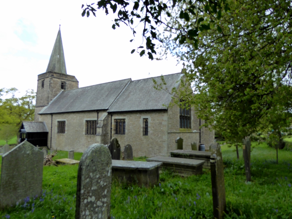
St Peter's Church, Leck
St Peter's Church is in the village of Leck, Lancashire, England. It is an active Anglican parish church in the deanery of Tunstall, the archdeaconry of...

Boxhead Pot
Boxhead Pot is a cave on Leck Fell, in Lancashire, England. It leads into the top end of Lost Johns' Cave, and is part of the Three Counties System, an...
Nearby Amenities
Located within 500m of 54.197089,-2.5348729Have you been to Castle Hill?
Leave your review of Castle Hill below (or comments, questions and feedback).