Barrow Hill

Hill, Mountain in Somerset South Somerset

England

Barrow Hill

House on Cary Road
House on Cary Road Credit: Roger Cornfoot

Barrow Hill is a prominent landmark located in Somerset, England. It is a hill that stands at an elevation of approximately 320 meters above sea level, making it one of the highest points in the region. Situated near the village of Barrow, it offers breathtaking panoramic views of the surrounding countryside.

The hill is known for its distinctive shape, resembling a natural mound with a rounded top. It is covered in lush greenery, featuring a variety of native plants and trees. Barrow Hill is also home to a diverse range of wildlife, including birds, insects, and small mammals.

The hill has been a site of historical and archaeological significance. Excavations conducted in the area have uncovered evidence of human activity dating back to the Neolithic period. Researchers have discovered ancient burial mounds and artifacts, providing insights into the lives of early settlers in the region.

Barrow Hill has become a popular destination for outdoor enthusiasts and nature lovers. It offers numerous walking trails and paths to explore, allowing visitors to immerse themselves in the natural beauty of the area. The hill is also a favorite spot for birdwatching, with a wide variety of avian species frequenting the area.

In addition to its natural and historical attractions, Barrow Hill hosts various events throughout the year. These include guided tours, educational programs, and cultural festivals, which aim to promote the rich heritage and natural beauty of the region.

Overall, Barrow Hill is a picturesque and historically significant landmark that offers a unique blend of natural beauty, wildlife, and cultural heritage.

If you have any feedback on the listing, please let us know in the comments section below.
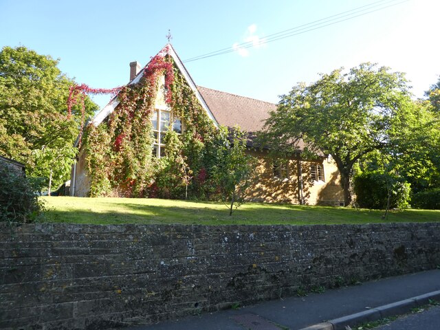
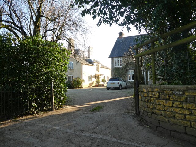
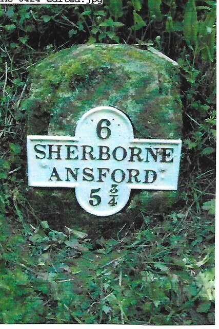
Barrow Hill Images

Images are sourced within 2km of 51.03494/-2.5112391 or Grid Reference ST6426. Thanks to Geograph Open Source API. All images are credited.

House on Cary Road
House on Cary Road
Primary School, North Cadbury
The Catash Inn
The Catash Inn
Turning for North Cadbury
Rose Cottage
Rose Cottage
Horseshoe Villas
Horseshoe Villas
Entrance, Woolston Manor Farmhouse
Barns at Woolston Manor Farm
Teals farm shop at South Cadbury This large farm shop includes a cafe, a deli and a butcher's. It even has its own cider orchard and beehives.
Teals farm shop at South Cadbury
This large farm shop includes a cafe, a deli and a butcher's. It even has its own cider orchard and beehives.
The gable end of Teals farm shop at South Cadbury
Old Milestone by road, SouthWest of Blackford The Milestone is located buried in hedge on the E of the road.  Parish of Compton Pauncefoot (South Somerset District). Metal plate attached to stone post, Sherbourne iron plate design, erected by the Sherborne turnpike trust in the 19th Century, very rusty. An earlier photograph can be found here: <a title="https://www.geograph.org.uk/photo/6102260" href="https://www.geograph.org.uk/photo/6102260">Link</a> 

Inscription reads:-   
6 / SHERBORNE / ANSFORD / 5¾ 

Grade II listed. List Entry Number: 1056556 <span class="nowrap"><a title="https://historicengland.org.uk/listing/the-list/list-entry/1056556" rel="nofollow ugc noopener" href="https://historicengland.org.uk/listing/the-list/list-entry/1056556">Link</a><img style="margin-left:2px;" alt="External link" title="External link - shift click to open in new window" src="https://s1.geograph.org.uk/img/external.png" width="10" height="10"/></span> 

Milestone Society National ID: SO_SBAF06
Old Milestone by road, SouthWest of Blackford
The Milestone is located buried in hedge on the E of the road.  Parish of Compton Pauncefoot (South Somerset District). Metal plate attached to stone post, Sherbourne iron plate design, erected by the Sherborne turnpike trust in the 19th Century, very rusty. An earlier photograph can be found here: Link  Inscription reads:- 6 / SHERBORNE / ANSFORD / 5¾ Grade II listed. List Entry Number: 1056556 LinkExternal link Milestone Society National ID: SO_SBAF06
Compton Pauncefoot : Road A road off the A303.
Compton Pauncefoot : Road
A road off the A303.
Compton Pauncefoot: near the church and manor house In the 19th century the Manor House was Compton Farm's farmhouse. The church is dedicated to the Blessed Virgin Mary
Compton Pauncefoot: near the church and manor house
In the 19th century the Manor House was Compton Farm's farmhouse. The church is dedicated to the Blessed Virgin Mary
Compton Pauncefoot: church path The church is dedicated to the Blessed Virgin Mary
Compton Pauncefoot: church path
The church is dedicated to the Blessed Virgin Mary
Compton Pauncefoot: edge of the village Houses near the western end of Hockley Lane
Compton Pauncefoot: edge of the village
Houses near the western end of Hockley Lane
Compton Pauncefoot: Downyard This barn complex, now known as Downyard, was part of Compton Farm in the late 19th century. The barns have been converted and now provide residential accommodation
Compton Pauncefoot: Downyard
This barn complex, now known as Downyard, was part of Compton Farm in the late 19th century. The barns have been converted and now provide residential accommodation
Compton Pauncefoot: church and manor house Seen from a field path to Lower Woolston
Compton Pauncefoot: church and manor house
Seen from a field path to Lower Woolston
Compton Pauncefoot: towards the mill Seen from the field path to Lower Woolston and North Cadbury. The mill was at work in the late 19th century but is now a private house. The stream is a tributary of the River Cam
Compton Pauncefoot: towards the mill
Seen from the field path to Lower Woolston and North Cadbury. The mill was at work in the late 19th century but is now a private house. The stream is a tributary of the River Cam
Show me another place!

Barrow Hill is located at Grid Ref: ST6426 (Lat: 51.03494, Lng: -2.5112391)

Administrative County: Somerset

District: South Somerset

Police Authority: Avon and Somerset

What 3 Words

///convey.sharpens.zoned. Near Castle Cary, Somerset

Related Wikis

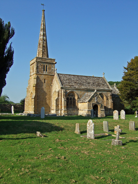
Church of St Mary, Compton Pauncefoot

The Anglican Church of St Mary in Compton Pauncefoot, Somerset, England was built in the 15th century. It is a Grade II* listed building. == History... ==

Compton Pauncefoot

Compton Pauncefoot is a village and civil parish in Somerset, England, situated beside the A303 road, 5 miles (8.0 km) south west of Wincanton in the South...

North Cadbury Court

North Cadbury Court in North Cadbury, Somerset, England is a country house built around 1580–1610, by Sir Francis Hastings. It has been designated as a...

Church of St Michael, North Cadbury

The Church of St Michael in North Cadbury, Somerset, England, dates from 1417, although the tower was built a few years earlier. It has been designated...

South Cadbury

South Cadbury is a village and former civil parish, now in the parish of South Cadbury and Sutton Montis, in the Somerset district of the ceremonial county...

Church of St Thomas à Becket, South Cadbury

The Church of St Thomas à Becket is the Anglican parish church for the ancient village of South Cadbury in Somerset and is dedicated to Thomas Becket....

North Cadbury

North Cadbury is a village and civil parish 5 miles (8 km) west of Wincanton, by the River Cam, in the Unitary Authority of Somerset, England. It shares...

Church of St Michael, Blackford

The Anglican Church of St Michael in Blackford, Somerset, England was built in the 11th or 12th century. It is a Grade II* listed building. == History... ==

Nearby Amenities

Located within 500m of 51.03494,-2.5112391
Compton Pauncefoot
Is In: Somerset, England, UK
Place: village
Source: NPE
Wikidata: Q5157171
Wikipedia: en:Compton Pauncefoot
Lat/Long: 51.0326705/-2.5069117
Material: wood
Power: pole
Lat/Long: 51.0368425/-2.5072276
Power: pole
Lat/Long: 51.0367808/-2.5056352
Power: pole
Lat/Long: 51.0364694/-2.5092953
Power: pole
Lat/Long: 51.0362267/-2.5106664
Power: pole
Lat/Long: 51.0358663/-2.5126845
Power: pole
Lat/Long: 51.0351095/-2.5142656
Power: pole
Lat/Long: 51.0343056/-2.515964
Power: pole
Lat/Long: 51.0335509/-2.5175341
Power: pole
Lat/Long: 51.0366607/-2.5126015
Power: pole
Lat/Long: 51.0381699/-2.5124628
Post Box
Operator: Royal Mail
Operator Wikidata: Q638098
Post Box Type: lamp
Ref: BA22 78
Royal Cypher: EIIR
Royal Cypher Wikidata: Q33102113
Lat/Long: 51.0317345/-2.5076187
Telephone
Booth: K6
Covered: booth
Phone: +44 1963 440410
Lat/Long: 51.0309623/-2.5080552
The data included in this document is from www.openstreetmap.org. The data is made available under ODbL.

Have you been to Barrow Hill?

Leave your review of Barrow Hill below (or comments, questions and feedback).