Black Hill Upper
Hill, Mountain in Lancashire Chorley
England
Black Hill Upper
Black Hill Upper is a prominent hill located in the county of Lancashire, England. Situated within the Pennines, it forms part of the South Pennines, a range of hills and moorland that stretches across the counties of Lancashire and West Yorkshire.
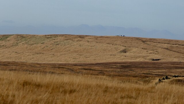
Rising to an elevation of 582 meters (1,909 feet), Black Hill Upper is considered one of the highest peaks in the region. It is located in the vicinity of the village of Marsden, approximately 20 kilometers (12 miles) west of Huddersfield. The hill is known for its distinctive dark peat moorland, which gives it its name.
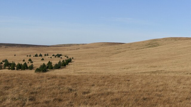
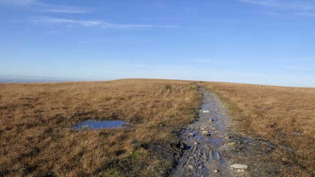
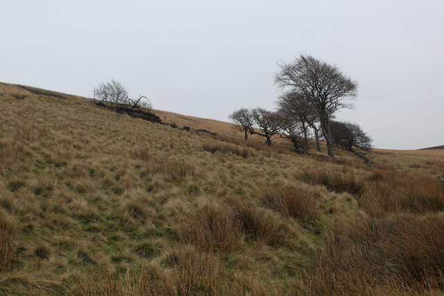
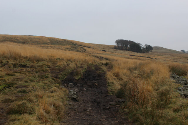
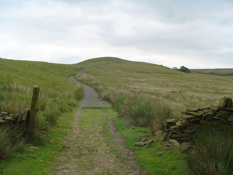
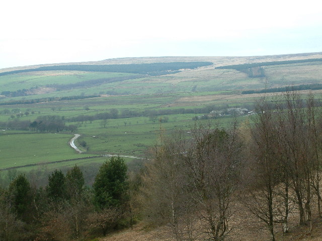
Black Hill Upper offers stunning panoramic views of the surrounding countryside, including the nearby reservoirs of Wessenden and Digley. It is a popular destination for hikers and outdoor enthusiasts, with several well-marked trails leading to the summit. The Pennine Way, one of the UK's most famous long-distance footpaths, also passes close to Black Hill Upper, attracting walkers from all over the country.
The hill is home to a diverse range of flora and fauna, including heather, bilberry, and cotton grass. It is also an important habitat for upland birds such as curlews and golden plovers, which thrive in the moorland environment.
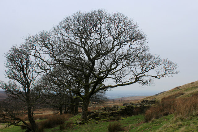
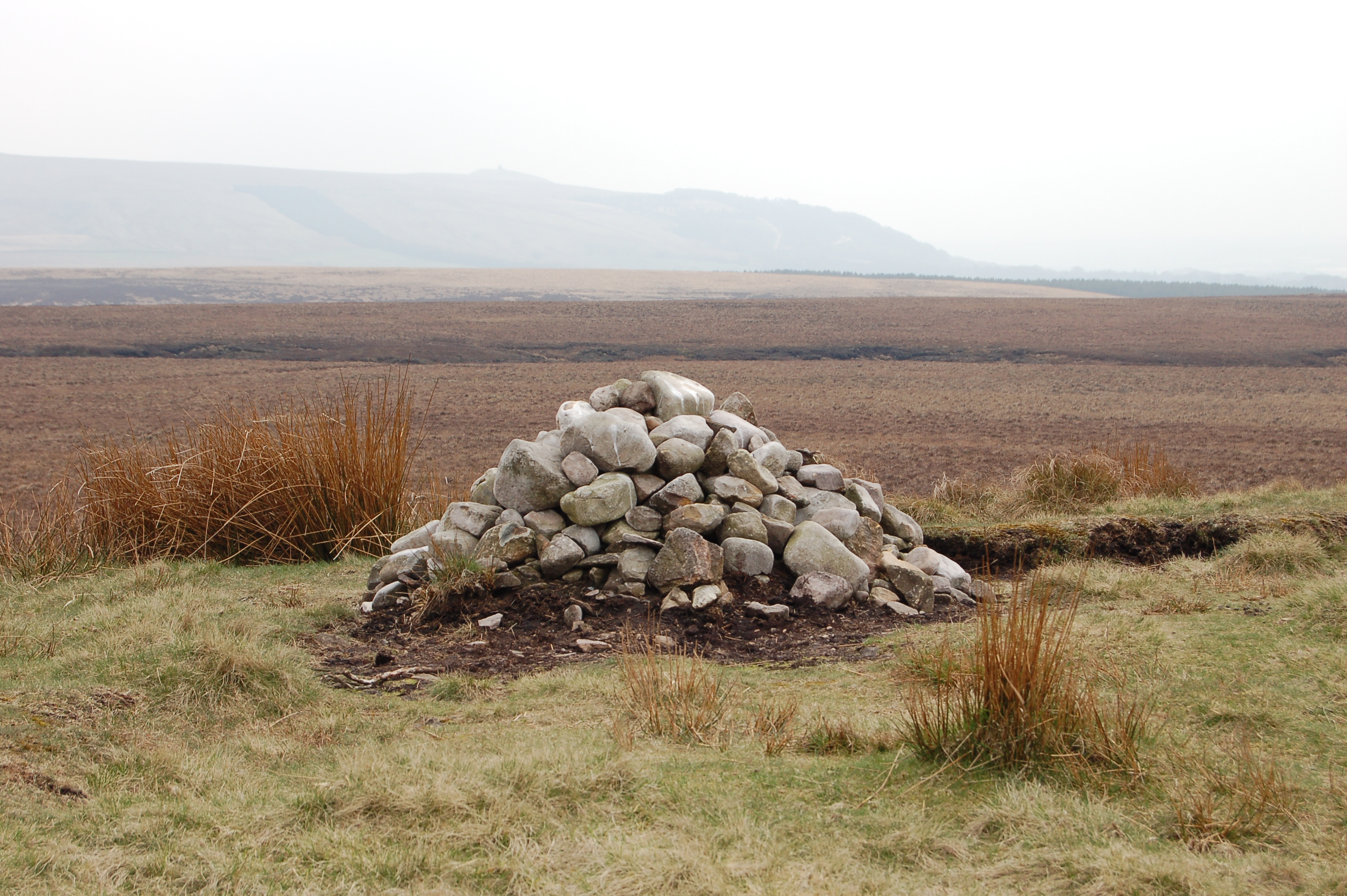
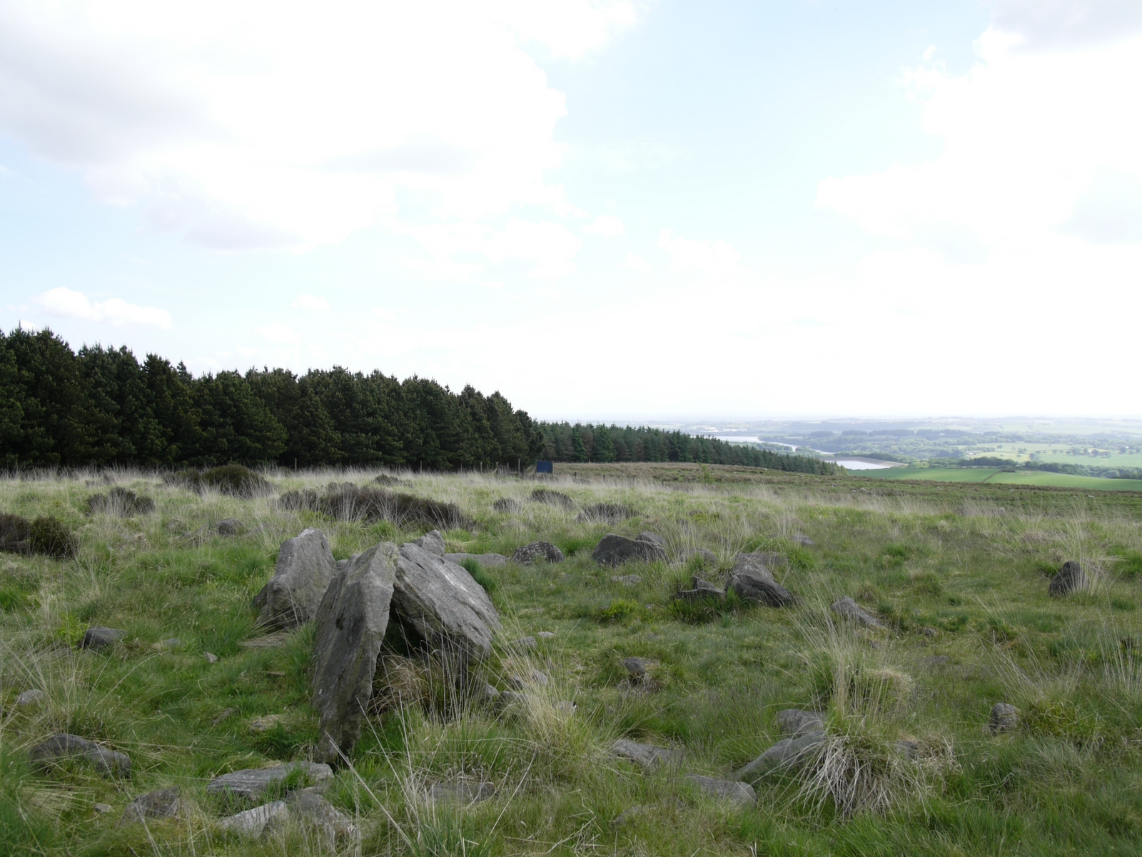
Black Hill Upper is steeped in history and folklore, with ancient burial mounds and stone circles scattered across its slopes. It has also been used for peat extraction in the past, reflecting the historical importance of the area's peat resources.
Overall, Black Hill Upper is a stunning natural landmark in Lancashire, offering breathtaking views, diverse wildlife, and a rich cultural heritage.
If you have any feedback on the listing, please let us know in the comments section below.
Black Hill Upper Images
Images are sourced within 2km of 53.659678/-2.542554 or Grid Reference SD6418. Thanks to Geograph Open Source API. All images are credited.


Black Hill Upper is located at Grid Ref: SD6418 (Lat: 53.659678, Lng: -2.542554)
Administrative County: Lancashire
District: Chorley
Police Authority: Lancashire
What 3 Words
///pushes.headlines.sings. Near Brinscall, Lancashire
Nearby Locations
Related Wikis
Round Loaf
Round Loaf is a late-Neolithic or Bronze Age tumulus on Anglezarke Moor in the West Pennine Moors near Chorley in Lancashire, England. The bowl barrow...

Black Brook (Chorley)
Black Brook in Lancashire has its source at Great Hill in the West Pennine Moors. The water is acidic due to a high level of peat in the uplands near to...
Great Hill
Great Hill is a hill in Lancashire, England, on Anglezarke Moor, between the towns of Chorley and Darwen. It is part of the West Pennine Moors and lies...
Hurst Hill
Hurst Hill is a location on Anglezarke Moor, within the West Pennine Moors of Lancashire, England. With a height of 317 metres (1,040 feet), the summit...

Spitlers Edge
Spitlers Edge is a ridge running along the eastern edge of Anglezarke Moor, Chorley, Lancashire, England from Standing Stones Hill to Hordern Stoops....
Grain Pole Hill
Grain Pole Hill is a location on Anglezarke Moor, near Chorley, within the West Pennine Moors of Lancashire, England. With a height of 285 metres (935...
Pikestones
Pikestones is the remains of a Neolithic Burial Cairn, located on Anglezarke moor in Lancashire, England. The site is approximately 150 feet (45 metres...
Anglezarke
Anglezarke is a sparsely populated civil parish in the Borough of Chorley in Lancashire, England. It is an agricultural area used for sheep farming and...
Nearby Amenities
Located within 500m of 53.659678,-2.542554Have you been to Black Hill Upper?
Leave your review of Black Hill Upper below (or comments, questions and feedback).