Maulds Meaburn Moor

Hill, Mountain in Westmorland Eden

England

Maulds Meaburn Moor

Bridge for access to Flass House Footpath from Maulds Meaburn towards Crosby Ravensworth alongside the grounds of Flass House.
Bridge for access to Flass House Credit: mauldy

The requested URL returned error: 429 Too Many Requests

If you have any feedback on the listing, please let us know in the comments section below.

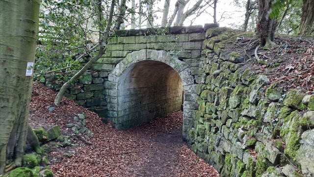
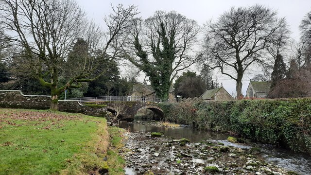
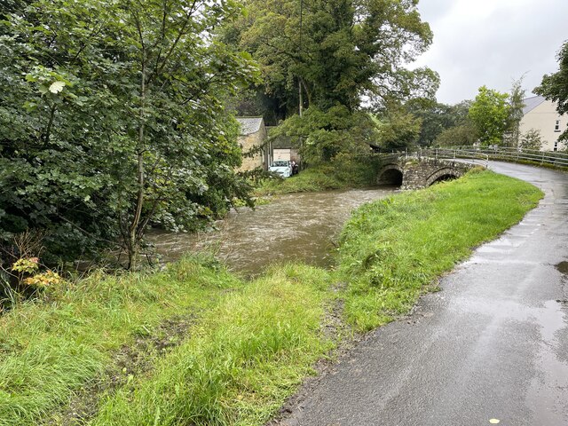
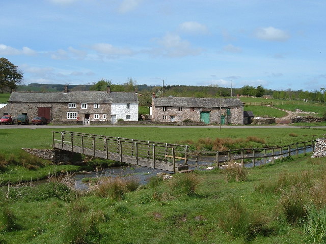
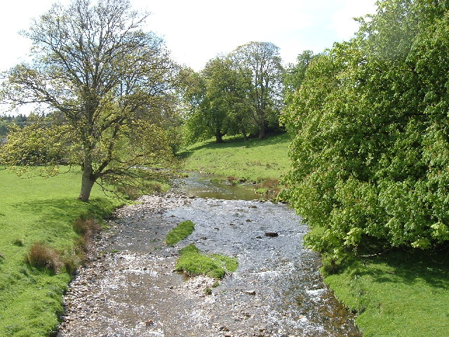
Maulds Meaburn Moor Images

Images are sourced within 2km of 54.530796/-2.5602904 or Grid Reference NY6315. Thanks to Geograph Open Source API. All images are credited.

Bridge for access to Flass House Footpath from Maulds Meaburn towards Crosby Ravensworth alongside the grounds of Flass House.
Bridge for access to Flass House
Footpath from Maulds Meaburn towards Crosby Ravensworth alongside the grounds of Flass House.
Monk's Bridge Bridge over Lyvennet Beck in Crosby Ravensworth. On the far side of the bridge Dalebanks Beck joins the Lyvennet.
Monk's Bridge
Bridge over Lyvennet Beck in Crosby Ravensworth. On the far side of the bridge Dalebanks Beck joins the Lyvennet.
Crosby Ravensworth Ford This is the fourth ford at Crosby Ravensworth.
Crosby Ravensworth Ford
This is the fourth ford at Crosby Ravensworth.
Ordnance Survey Cut Mark This OS cut mark can be found on Monks Bridge House. It marks a point 182.176m above mean sea level.
Ordnance Survey Cut Mark
This OS cut mark can be found on Monks Bridge House. It marks a point 182.176m above mean sea level.
Ordnance Survey Cut Mark This OS cut mark can be found on SW angle of St Lawrence's Church. It marks a point 608.3ft above mean sea level.
Ordnance Survey Cut Mark
This OS cut mark can be found on SW angle of St Lawrence's Church. It marks a point 608.3ft above mean sea level.
Ordnance Survey Cut Mark This OS cut mark can be found on the gatepost north side of the track. It marks a point 218.627m above mean sea level.
Ordnance Survey Cut Mark
This OS cut mark can be found on the gatepost north side of the track. It marks a point 218.627m above mean sea level.
Ordnance Survey Cut Mark This OS cut mark can be found on the north parapet of the bridge. It marks a point 171.738m above mean sea level.
Ordnance Survey Cut Mark
This OS cut mark can be found on the north parapet of the bridge. It marks a point 171.738m above mean sea level.
Ordnance Survey Pivot This OS pivot can be found on the wall SE side of the road. It marks a point 200.786m above mean sea level.
Ordnance Survey Pivot
This OS pivot can be found on the wall SE side of the road. It marks a point 200.786m above mean sea level.
Ordnance Survey Pivot This OS pivot can be found on the wall NE side of the road. It marks a point 280.801m above mean sea level.
Ordnance Survey Pivot
This OS pivot can be found on the wall NE side of the road. It marks a point 280.801m above mean sea level.
Ordnance Survey Pivot This OS pivot can be found on the wall at the road junction. It marks a point 285.251m above mean sea level.
Ordnance Survey Pivot
This OS pivot can be found on the wall at the road junction. It marks a point 285.251m above mean sea level.
Boundary Stone The Ordnance Survey pivot marks a point 290.454m above mean sea level.
Boundary Stone
The Ordnance Survey pivot marks a point 290.454m above mean sea level.
Old Boundary Marker beside the B6260 in Crosby Ravensworth Estate Boundary Marker in a pasture west of the B6260 and Maskriggs Wood. Inscribed B & R, and probably C R similar to WE_CRR03em, see <a title="https://www.geograph.org.uk/photo/6462527" href="https://www.geograph.org.uk/photo/6462527">Link</a>. See also <a title="https://www.geograph.org.uk/photo/7641917" href="https://www.geograph.org.uk/photo/7641917">Link</a>.

Although both these markers are now in Crosby Ravensworth parish, they were until 1935 on the boundary of that parish and Bank Moor, which was common to both Crosby Ravensworth and Asby parishes. C R almost certainly references Crosby Ravensworth but B & R has been taken to refer to the those who held rights on the moor, of which the right of pasture is the most obvious. 

Milestone Society National ID: WE_CRR04em
Old Boundary Marker beside the B6260 in Crosby Ravensworth
Estate Boundary Marker in a pasture west of the B6260 and Maskriggs Wood. Inscribed B & R, and probably C R similar to WE_CRR03em, see Link. See also Link. Although both these markers are now in Crosby Ravensworth parish, they were until 1935 on the boundary of that parish and Bank Moor, which was common to both Crosby Ravensworth and Asby parishes. C R almost certainly references Crosby Ravensworth but B & R has been taken to refer to the those who held rights on the moor, of which the right of pasture is the most obvious. Milestone Society National ID: WE_CRR04em
Maulds Meaburn Moor
Maulds Meaburn Moor
St Lawrence Church Crosby Ravensworth
St Lawrence church Crosby Ravensworth
The Lyvennet river in full flow
Maulds Meaburn Village houses
Lyvennet river upstream from Dent bridge
Show me another place!

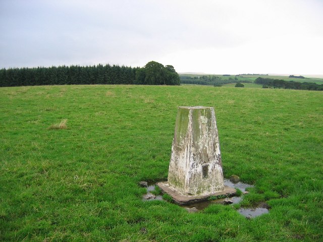
Maulds Meaburn Moor is located at Grid Ref: NY6315 (Lat: 54.530796, Lng: -2.5602904)

Administrative County: Cumbria

District: Eden

Police Authority: Cumbria

What 3 Words

///mutual.butter.armrests. Near Appleby-in-Westmorland, Cumbria

Related Wikis

Flass

Flass, also called Flass House, is a large Grade II* listed house near the village of Maulds Meaburn, Cumbria, England. It was built in the 19th century...
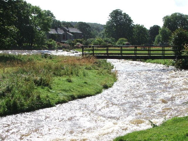
Maulds Meaburn

Maulds Meaburn (English: ) is a village in Cumbria, England. It is located in the Lyvennet Valley and Yorkshire Dales National Park and is 13 miles from...

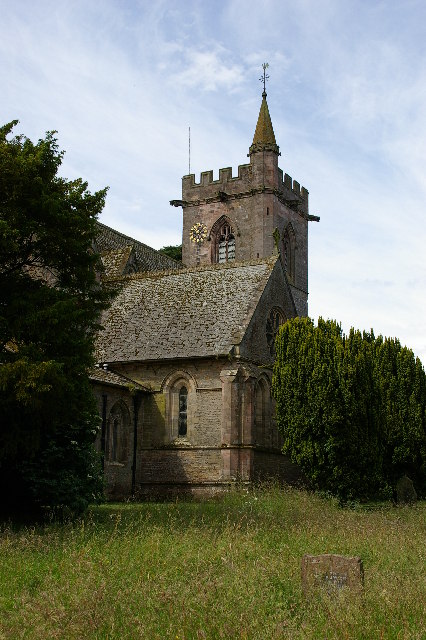
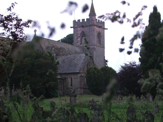
St Lawrence's Church, Crosby Ravensworth

St Lawrence's Church is in the village of Crosby Ravensworth, Cumbria, England. It is an active Anglican parish church in the deanery of Appleby, the...

Crosby Ravensworth

Crosby Ravensworth is a village and civil parish in the Eden district of Cumbria, England. The village is about 4 miles (6.4 km) east of the M6 motorway...

Nearby Amenities

Located within 500m of 54.530796,-2.5602904
Source: npe
Lat/Long: 54.5317786/-2.5564215
Passing Place
Lat/Long: 54.5300053/-2.5552139
The data included in this document is from www.openstreetmap.org. The data is made available under ODbL.

Have you been to Maulds Meaburn Moor?

Leave your review of Maulds Meaburn Moor below (or comments, questions and feedback).