Lamb Hill

Hill, Mountain in Berwickshire

Scotland

Lamb Hill

The valley of the Dye Water Looking down from Dunside Hill, from the Fallago Rig Wind Farm access road.
The valley of the Dye Water Credit: M J Richardson

Lamb Hill is a prominent hill located in the county of Berwickshire, Scotland. Situated near the village of Chirnside, it stands at an elevation of approximately 375 meters (1,230 feet) above sea level. With its commanding position, Lamb Hill offers breathtaking panoramic views of the surrounding countryside.

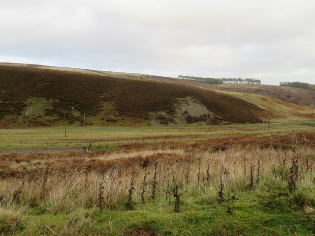
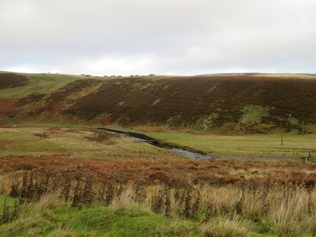
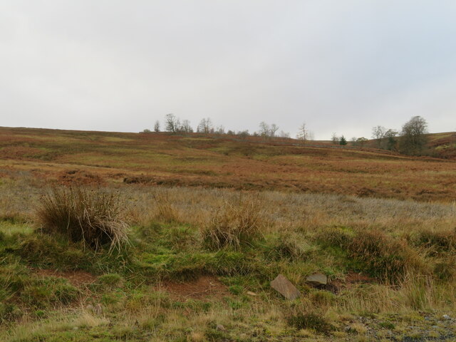
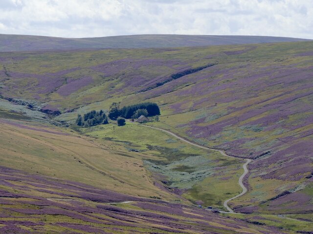
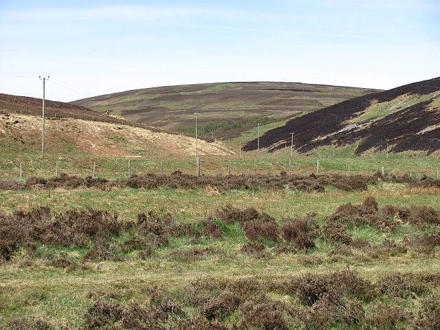
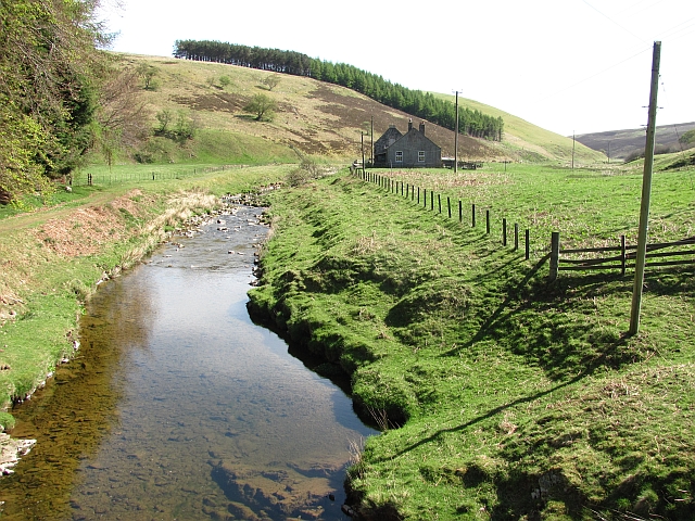
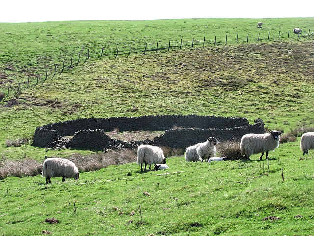
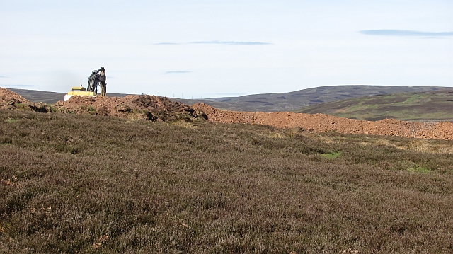
The hill is characterized by its gentle slopes, covered in lush green grass and dotted with patches of heather. It is part of the Lammermuir Hills range, a picturesque upland area known for its natural beauty and diverse wildlife. The landscape surrounding Lamb Hill comprises rolling hills, deep valleys, and meandering streams, creating a serene and tranquil atmosphere.

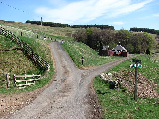
Lamb Hill is a popular destination for outdoor enthusiasts and hikers, who are attracted by its accessible trails and stunning vistas. The surrounding area offers a range of walking routes, catering to all levels of fitness and experience. The ascent to the summit is relatively easy, making it suitable for families and beginners.

At the top of Lamb Hill, visitors are rewarded with breathtaking views over the surrounding countryside, including the Cheviot Hills to the south and the North Sea to the east. On clear days, it is even possible to catch a glimpse of the distant coastline of Northumberland.

Overall, Lamb Hill is a picturesque natural landmark that showcases the beauty of Berwickshire's countryside. Whether it's for a leisurely hike or simply to enjoy the stunning views, this hill offers a peaceful and rejuvenating experience for all who visit.

If you have any feedback on the listing, please let us know in the comments section below.

Lamb Hill Images

Images are sourced within 2km of 55.82302/-2.5787246 or Grid Reference NT6359. Thanks to Geograph Open Source API. All images are credited.

The valley of the Dye Water Looking down from Dunside Hill, from the Fallago Rig Wind Farm access road.
The valley of the Dye Water
Looking down from Dunside Hill, from the Fallago Rig Wind Farm access road.
Footbridge across the Dye Water Looking down from Dunside Hill, from the Fallago Rig Wind Farm access road.
Footbridge across the Dye Water
Looking down from Dunside Hill, from the Fallago Rig Wind Farm access road.
Dunside Wood A small and rather scrappy wood on Dunside Hill and in Wester Stop Cleugh.
Dunside Wood
A small and rather scrappy wood on Dunside Hill and in Wester Stop Cleugh.
Grouse Butt on Dunside Hill One of a series alongside a moorland track in the Lammermuir Hills.
Grouse Butt on Dunside Hill
One of a series alongside a moorland track in the Lammermuir Hills.
Kilpallet
Kilpallet
Dunside Wood Looking over the Fallago power station road towards the recently replanted Dunside Wood.
Dunside Wood
Looking over the Fallago power station road towards the recently replanted Dunside Wood.
Looking up the Dye Water The glen leading to Byercleugh, currently being trashed by wind farmers. The view is towards Pyatshaw Knowe.
Looking up the Dye Water
The glen leading to Byercleugh, currently being trashed by wind farmers. The view is towards Pyatshaw Knowe.
Trottingshaw Road junction by the Dye Water. Since <a href="https://www.geograph.org.uk/photo/142746">NT6458 : Trottingshaw</a> was taken, the red shed has collapsed.

The signage is mainly aimed at construction traffic for a disastrous and appallingly badly planned wind farm on Meikle Says Law.
Trottingshaw
Road junction by the Dye Water. Since NT6458 : Trottingshaw was taken, the red shed has collapsed. The signage is mainly aimed at construction traffic for a disastrous and appallingly badly planned wind farm on Meikle Says Law.
Dye Water, Dunside Downstream view from the bridge.
Dye Water, Dunside
Downstream view from the bridge.
Ewes and lambs, Dunside It is the height of lambing here. About half the ewes in the glen have lambed.
Ewes and lambs, Dunside
It is the height of lambing here. About half the ewes in the glen have lambed.
New road, Dunside The established road over the hill from Dunside towards Wedderlie <a href="https://www.geograph.org.uk/photo/143040">NT6457 : Red road</a> has been upgraded as an access road for the Fallago Ridge power station, a disaster.  After years of fighting off the big landowner and his allies the government overuled local planners and allowed a wind farm in the remotest and wildest corner of southeast Scotland. There is plenty of room on the well roaded and agricultural periphery, but of course they had to go for the very centre of the range.
From here I could see the Cheviot, in a country which looks after its landscapes. Such a shame the Northumbrians lost the Lammermuirs. Had this range remained in England, it would be a national park. Instead it is history.
New road, Dunside
The established road over the hill from Dunside towards Wedderlie NT6457 : Red road has been upgraded as an access road for the Fallago Ridge power station, a disaster. After years of fighting off the big landowner and his allies the government overuled local planners and allowed a wind farm in the remotest and wildest corner of southeast Scotland. There is plenty of room on the well roaded and agricultural periphery, but of course they had to go for the very centre of the range. From here I could see the Cheviot, in a country which looks after its landscapes. Such a shame the Northumbrians lost the Lammermuirs. Had this range remained in England, it would be a national park. Instead it is history.
Road building, Dunside Wind farm construction road being built. Here it deviates from the old road over from Wedderlie and runs up the Dye Water towards the doomed skyline in the background. (which happens to be about the remotest and highest bit of the Lammermuir Hills)
Road building, Dunside
Wind farm construction road being built. Here it deviates from the old road over from Wedderlie and runs up the Dye Water towards the doomed skyline in the background. (which happens to be about the remotest and highest bit of the Lammermuir Hills)
Upgraded road, Byrecleugh The glen beyond Byrecleugh has been chosen as the access route for the disgusting Fallago Ridge power station. To be fair, the power companies have a good record in relandscaping their roads, so the scar will soon heal. This does not excuse those who approved this project, bit like running amok in Floors Castle with a spray can.
Upgraded road, Byrecleugh
The glen beyond Byrecleugh has been chosen as the access route for the disgusting Fallago Ridge power station. To be fair, the power companies have a good record in relandscaping their roads, so the scar will soon heal. This does not excuse those who approved this project, bit like running amok in Floors Castle with a spray can.
Felled stripwood A conifer stripwood above Byrecleugh has recently been felled.
Felled stripwood
A conifer stripwood above Byrecleugh has recently been felled.
Dye Water Looking upstream at Byrecleuch.
Dye Water
Looking upstream at Byrecleuch.
Why not a graffiti festival inside Floors Castle? Not satisfied with sticking a wind farm in the remotest and wildest part of the Lammermuir Hills, the vandals have to build yet another road in.  All at a time when there is a scandal of millions being paid in compensation for having to shut down the windmills when the wind blows a wee bit too much.  Apparently there is a risk of "a fuse blowing" on the National Grid.

Great technology, bad planning, Scotland hating so called Nationalist government - Wrong Place!
Why not a graffiti festival inside Floors Castle?
Not satisfied with sticking a wind farm in the remotest and wildest part of the Lammermuir Hills, the vandals have to build yet another road in. All at a time when there is a scandal of millions being paid in compensation for having to shut down the windmills when the wind blows a wee bit too much. Apparently there is a risk of "a fuse blowing" on the National Grid. Great technology, bad planning, Scotland hating so called Nationalist government - Wrong Place!
Ewe and rabbits Grazing land beside a small wood near Byrecleugh.
Ewe and rabbits
Grazing land beside a small wood near Byrecleugh.
Felled stripwood A strip of coniferous woodland <a href="https://www.geograph.org.uk/photo/143246">NT6257 : Byrecleuch</a> has recently been removed.
Felled stripwood
A strip of coniferous woodland NT6257 : Byrecleuch has recently been removed.
Show me another place!

Lamb Hill is located at Grid Ref: NT6359 (Lat: 55.82302, Lng: -2.5787246)

Unitary Authority: The Scottish Borders

Police Authority: The Lothians and Scottish Borders

What 3 Words

///skip.wage.uttering. Near Duns, Scottish Borders

Nearby Locations

Lamb Hill

Related Wikis

Mutiny Stones

The Mutiny Stones are a megalithic monument in the Lammermuir Hills, Scotland.Situated on Byrecleugh Rig, the nearest centre of habitation is at Longformacus...

Watch Water

The Watch Water is a river in the Scottish Borders area of Scotland. It rises in the Lammermuir Hills, around 8 kilometres (5.0 mi) west of Longformacus...

Whiteadder Reservoir

Whiteadder Reservoir is a reservoir in East Lothian, Scotland, UK, in the Lammermuir Hills, 11 miles (18 km) north west of Duns in the Scottish Borders...

Cranshaws

Cranshaws is a village on the B6355 road, near Duns, in the Scottish Borders area of Scotland, in the former Berwickshire. Of Cranshaws Castle only the...

Nearby Amenities

Located within 500m of 55.82302,-2.5787246
Lamb Hill
Natural: peak
Lat/Long: 55.8228479/-2.5791652
The data included in this document is from www.openstreetmap.org. The data is made available under ODbL.

Have you been to Lamb Hill?

Leave your review of Lamb Hill below (or comments, questions and feedback).