Whins End
Hill, Mountain in Yorkshire South Lakeland
England
Whins End
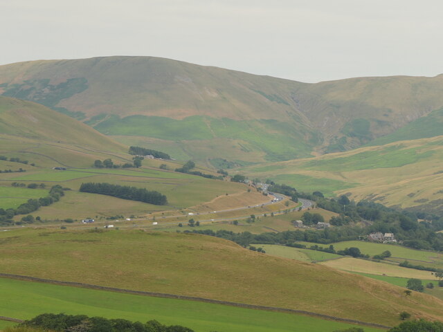
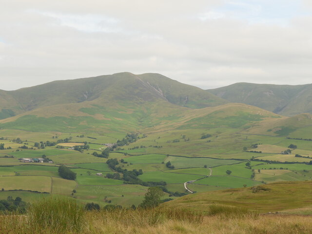
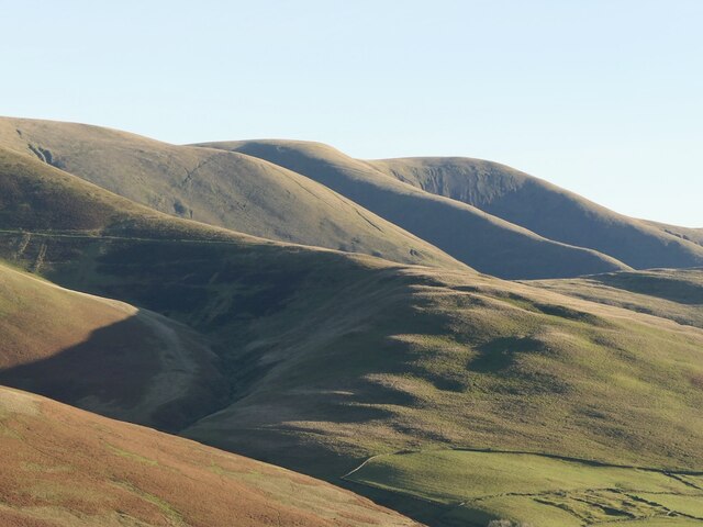
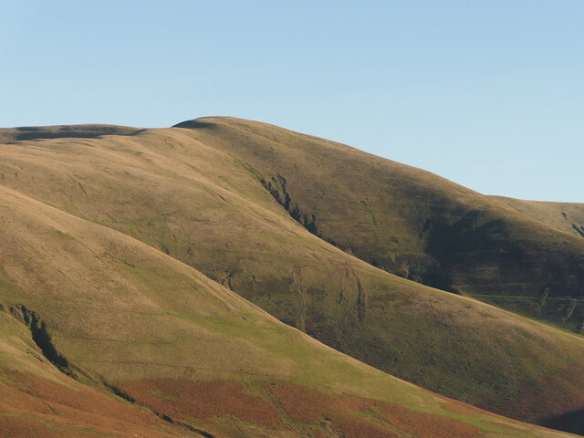
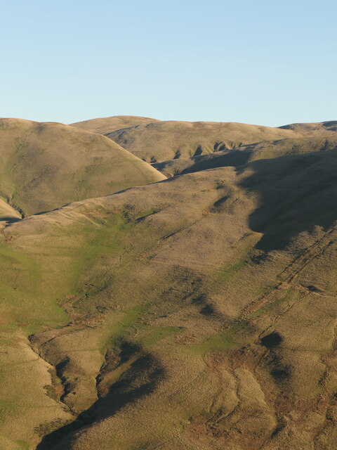
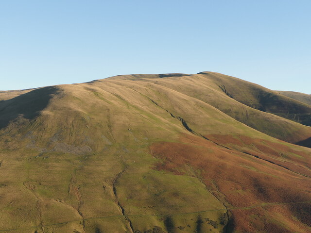
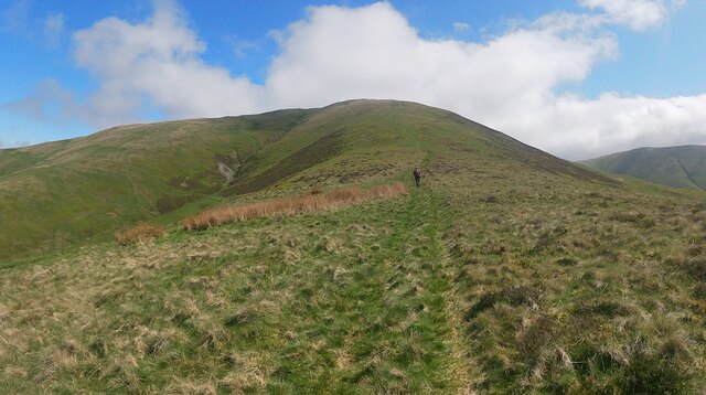
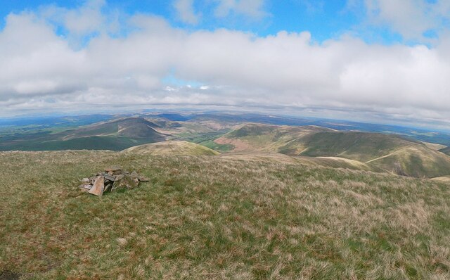
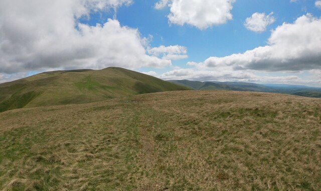
Whins End is a prominent hill located in Yorkshire, England. Situated in the northern part of the county, it forms part of the beautiful landscape of the Yorkshire Dales National Park. Rising to an elevation of approximately 500 meters (1,640 feet), Whins End offers breathtaking panoramic views of the surrounding area.
The hill is characterized by its rugged terrain and is covered in various types of vegetation, including heather and grasses. Its slopes are dotted with limestone outcrops and occasional rocky crags, adding to its picturesque appeal. The hill is also home to a diverse range of wildlife, including birds such as peregrine falcons and curlews, as well as mammals like hares and foxes.
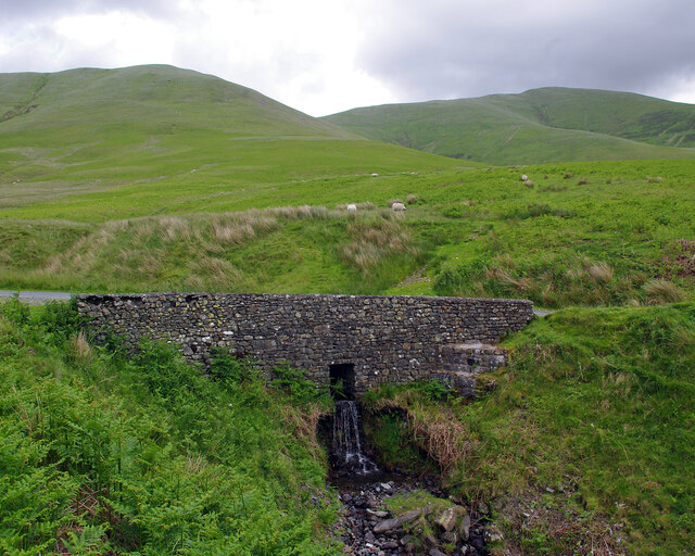
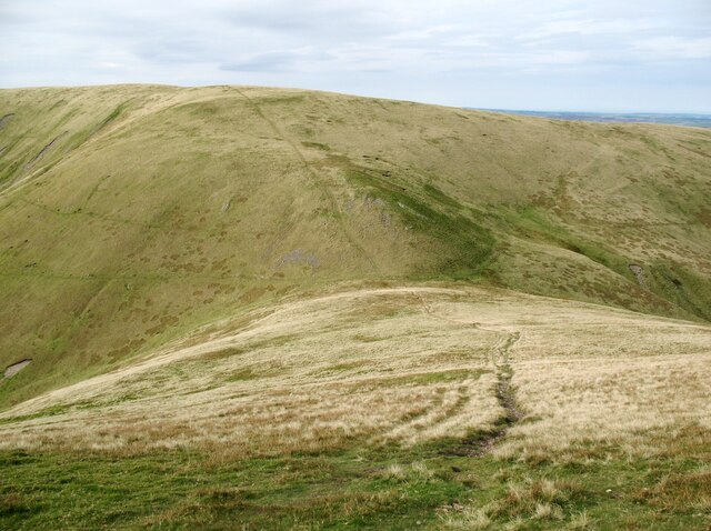
Whins End is a popular destination for outdoor enthusiasts, particularly hikers and nature lovers. Several trails traverse the hill, allowing visitors to explore its natural beauty and enjoy the peacefulness of the countryside. The summit provides a perfect spot for picnics or simply to soak in the breathtaking vistas that stretch out to the horizon.
The surrounding area near Whins End is dotted with charming villages and historic sites, making it a great base for those looking to explore the wider Yorkshire region. The hill's location within the national park also means that it benefits from conservation efforts to preserve its natural habitat and protect its wildlife.
Overall, Whins End is a captivating hill in Yorkshire, offering visitors a chance to connect with nature, admire stunning views, and experience the tranquility of the countryside.
If you have any feedback on the listing, please let us know in the comments section below.
Whins End Images
Images are sourced within 2km of 54.372516/-2.5580554 or Grid Reference SD6397. Thanks to Geograph Open Source API. All images are credited.


Whins End is located at Grid Ref: SD6397 (Lat: 54.372516, Lng: -2.5580554)
Division: West Riding
Administrative County: Cumbria
District: South Lakeland
Police Authority: Cumbria
What 3 Words
///fries.unfit.innovator. Near Sedbergh, Cumbria
Nearby Locations
Related Wikis

Low Gill railway station
Low Gill railway station served the hamlet of Lowgill, Westmorland (now in Cumbria), England, from 1846 to 1966 on the Lancaster and Carlisle Railway....

Holy Trinity Church, Howgill
Holy Trinity Church stands in a country lane near the hamlet of Howgill, between Sedbergh and Tebay, Cumbria, England. It is an active Anglican church...

The Calf
The Calf, at an elevation of 676 metres (2,218 ft), is the highest point in the Howgill Fells, an area of high ground in north-west England. It is in the...

Calders (Yorkshire Dales)
Calders is a summit of 2,211 feet (674 m) in the Howgill Fells, Cumbria, England. It lies about 2⁄3 mile (1 km) south east of the summit of The Calf and...
Nearby Amenities
Located within 500m of 54.372516,-2.5580554Have you been to Whins End?
Leave your review of Whins End below (or comments, questions and feedback).