Longhill Wood
Wood, Forest in Westmorland Eden
England
Longhill Wood
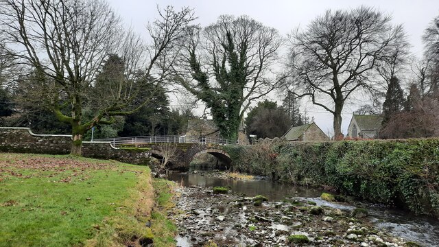
Longhill Wood is a picturesque forest located in the county of Westmorland, in the northwestern region of England. Covering an area of approximately 50 hectares, this wood is known for its outstanding natural beauty and diverse ecosystem.
The wood is predominantly made up of deciduous trees, including oak, beech, and birch, which create a vibrant and colorful canopy during the autumn months. The forest floor is carpeted with a variety of wildflowers, such as bluebells and primroses, adding to the enchanting atmosphere of the woodland.
Longhill Wood is home to a plethora of wildlife, making it a haven for nature enthusiasts and bird watchers. Visitors may spot various species of birds, including woodpeckers, owls, and finches, as well as small mammals like squirrels, badgers, and foxes. If lucky, one might even catch a glimpse of a red deer or roe deer roaming through the trees.
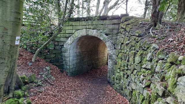
The wood is crisscrossed by a network of well-maintained footpaths and trails, allowing visitors to explore its natural wonders at their own pace. These paths provide opportunities for leisurely walks, jogging, or cycling, while also offering breathtaking views of the surrounding countryside and nearby fells.
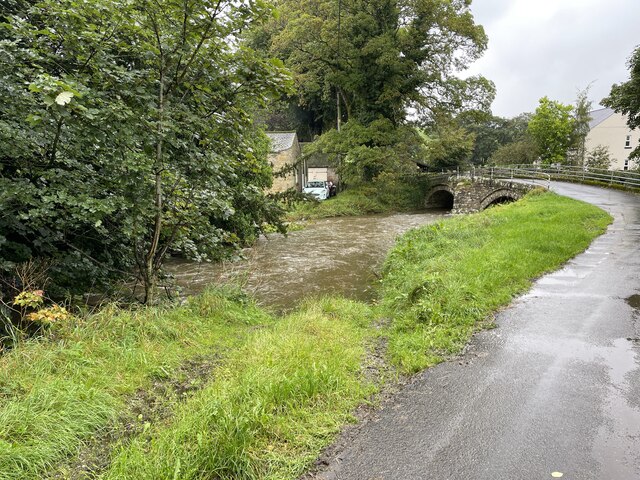
Longhill Wood is easily accessible from nearby villages and towns, attracting both locals and tourists throughout the year. It serves as an ideal destination for those seeking tranquility, a connection with nature, or simply a break from the hustle and bustle of everyday life.
If you have any feedback on the listing, please let us know in the comments section below.
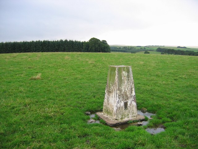
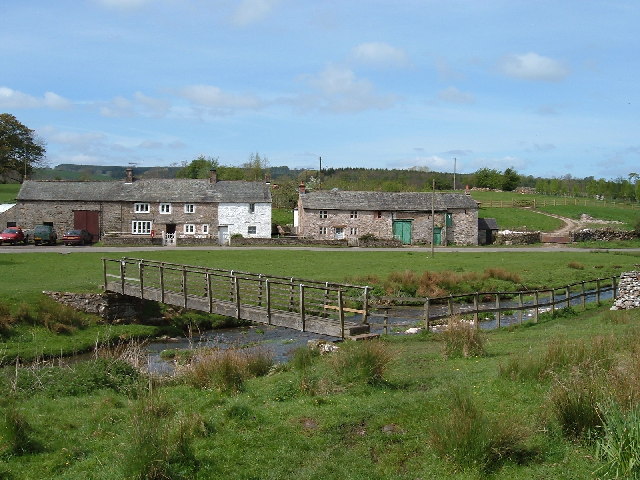
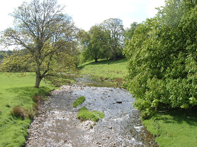
Longhill Wood Images
Images are sourced within 2km of 54.530517/-2.5699445 or Grid Reference NY6315. Thanks to Geograph Open Source API. All images are credited.
Longhill Wood is located at Grid Ref: NY6315 (Lat: 54.530517, Lng: -2.5699445)
Administrative County: Cumbria
District: Eden
Police Authority: Cumbria
What 3 Words
///tastier.lottery.hazelnuts. Near Shap, Cumbria
Nearby Locations
Related Wikis

Flass
Flass, also called Flass House, is a large Grade II* listed house near the village of Maulds Meaburn, Cumbria, England. It was built in the 19th century...

Maulds Meaburn
Maulds Meaburn (English: ) is a village in Cumbria, England. It is located in the Lyvennet Valley and Yorkshire Dales National Park and is 13 miles from...

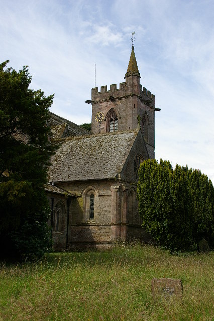
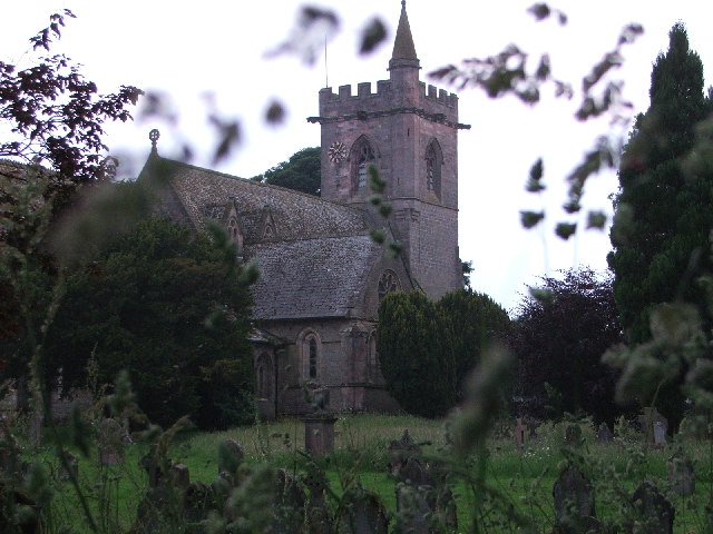
St Lawrence's Church, Crosby Ravensworth
St Lawrence's Church is in the village of Crosby Ravensworth, Cumbria, England. It is an active Anglican parish church in the deanery of Appleby, the...

Crosby Ravensworth
Crosby Ravensworth is a village and civil parish in the Eden district of Cumbria, England. The village is about 4 miles (6.4 km) east of the M6 motorway...
Related Videos
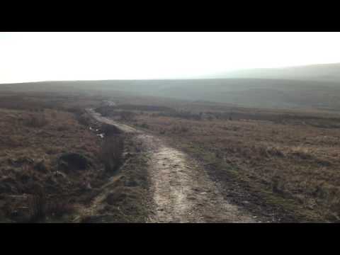
Walking roman roads
Walking the line of High Street Roman road above Ullswater in the English Lake District.
Have you been to Longhill Wood?
Leave your review of Longhill Wood below (or comments, questions and feedback).